2010s Maps of Liberty County, Texas
Explore 108 historic maps of Liberty County from the 2010s. These maps offer a rare glimpse into what life looked like during the 2010s — showing old roads, neighborhoods, homes, and landmarks that have changed or disappeared over time.
Whether you're researching your family's past, planning a metal detecting trip, or studying how Liberty County's landscape evolved across the 2010s, these high-resolution maps are a powerful tool for exploring the history of this region.
- Focus on a specific era: All maps on this page are from the 2010s, giving you a focused view of this time period.
- See what’s changed: Compare century-old streets, trails, and buildings to today's modern landscape using overlays and satellite layers.
- Research with precision: Use these maps for genealogy, historical research, land use analysis, or educational projects.
- View, download, or print: Maps are fully viewable online in high resolution, and can be downloaded or printed for your own records.
Start exploring Liberty County's history through authentic maps from the 2010s. This is your window into the past.
Liberty County, TX maps
(108)- 2010 Map of Plum Grove, 2010 Print
 2010 Plum Grove2010 Print · USGSSoutheastern Texas in the early 2000s reveals a landscape defined by the East Fork San Jacinto River and its dense network of bayous. Trace family roots and local landmarks around Plum Grove, High Top Camp, and the waters of Sallas Lake.
 - 2010 Map of Daisetta, 2010 Print
 2010 Daisetta2010 Print · USGSLiberty County settlements and bayou country are captured in this recent survey during a period of continued rural-industrial development. Researchers can trace family history through Frige Settlement, locate Oak Dale Cemetery, and follow the path of Turtle Bayou.
 - 2010 Map of Devers, 2010 Print
 2010 Devers2010 Print · USGSSoutheast Texas at the start of the decade shows a landscape shaped by coastal prairie agriculture and intricate bayou drainage. Genealogists and local historians can trace family-named sites and rural hubs like Devers, Felicia, and the Stephen Meche Dam.
 - 2010 Map of Simmons Bottom, 2010 Print
 2010 Simmons Bottom2010 Print · USGSThis Liberty County landscape near Dayton shows a unique mix of rural Texas heritage and modern residential growth. Genealogists and local historians can trace the Carter Settlement, find the Ryan Cemetery, or follow the winding Luce Bayou.
 - 2010 Map of Thorson Gully, 2010 Print
 2010 Thorson Gully2010 Print · USGSCoastal prairie and oil industry operations meet in this Hardin County survey from the early twenty-first century. Genealogists and local historians can locate the Guedry Cemetery and trace the drainage of Pine Island Bayou past the New Batson Oil Field.
 - 2010 Map of Tarkington Prairie, 2010 Print
 2010 Tarkington Prairie2010 Print · USGSThe Liberty County coastal plain is shown here in the early 2010s, where traditional timber and ranch lands meet growing rural communities. Genealogists and historians can trace family roots at Boothe Cemetery, Lums Cemetery, and the historic Tarkington Prairie settlement.
 - 2010 Map of Davis Hill, 2010 Print
 2010 Davis Hill2010 Print · USGSThe Trinity River bottoms in Liberty County are captured here at the start of the 2010s, showing a landscape defined by deep river bends and rural outposts. Researchers can find historical riverfront sites like Coushatta Village, Jacob Settlement, and the high ground of Davis Hill.
 - 2010 Map of Liberty, 2010 Print
 2010 Liberty2010 Print · USGSLiberty and the surrounding wetlands are shown here in the early twenty-first century as the city expands near the winding Trinity. Genealogists and historians can locate Old Hardin Cemetery, the South Liberty Oil Field, and the historic Atascosito site.
 - 2010 Map of Hardin, 2010 Print
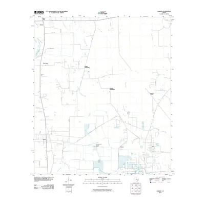 2010 Hardin2010 Print · USGSLiberty County communities and coastal prairie wetlands are documented here in the early 21st century. Researchers can trace family roots through Moss Hill Cemetery and locate historical community clusters at Tanner Settlement, Dowdel Settlement, and Pedeco.
 - 2010 Map of Votaw, 2010 Print
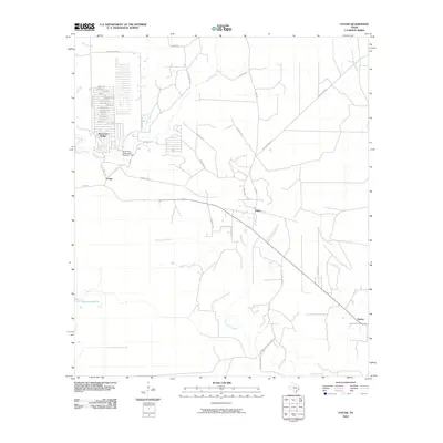 2010 Votaw2010 Print · USGSHardin County timberlands and rural settlements are documented here during the early 2000s. Genealogists and local historians can trace family-named roads and landmarks like Hoop and Holler, the Wild Cow Marsh, and the community of Votaw.
 - 2010 Map of Arizona Creek, 2010 Print
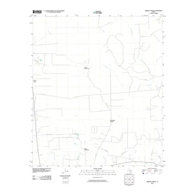 2010 Arizona Creek2010 Print · USGSLiberty County in the early twenty-first century remains a landscape of dense pine woods and winding bayous. Genealogists and local historians can trace the rural layout of Ducat Settlement, Vanva Settlement, and the drainages of Arizona Creek.
 - 2010 Map of Romayor, 2010 Print
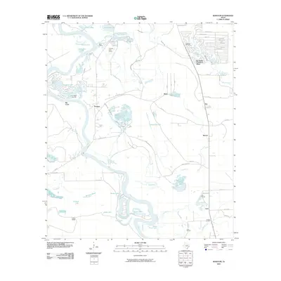 2010 Romayor2010 Print · USGSThe Trinity River bottomlands of Liberty County are captured here in the early twenty-first century, showing a landscape of river bends and rural hamlets. Researchers can trace family history at Hank Cemetery or explore the settlements of Romayor and Milvid.
 - 2010 Map of Huffman, 2010 Print
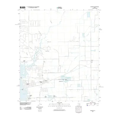 2010 Huffman2010 Print · USGSThe Huffman area and the eastern shores of Lake Houston are shown in detail during a period of significant suburban development. Researchers can trace family history through the Huffman and Saint Annes cemeteries or locate early neighborhood footprints like Lakewood Heights and Hidden Echo.
 - 2010 Map of Splendora, 2010 Print
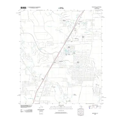 2010 Splendora2010 Print · USGSMontgomery County in the early twenty-first century shows a landscape where industrial footprints and community centers meet. Researchers can find many family burial sites like Mizell Cemetery and Robinson Cemetery alongside the Splendora Oil Field.
 - 2010 Map of Dayton, 2010 Print
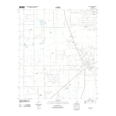 2010 Dayton2010 Print · USGSThe town of Dayton and its surrounding Liberty County oil fields are captured here in the early twenty-first century. Researchers can trace the layout of Linney Cemetery, locate rural settlements like Stilson, or study industrial sites including the North Dayton Oil Field.
 - 2010 Map of Nome, 2010 Print
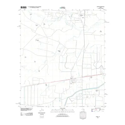 2010 Nome2010 Print · USGSCoastal prairie and oil industry infrastructure define this Southeast Texas landscape near the turn of the millennium. Researchers can locate family burial sites at Grayburg Cemetery and Pivoto Cemetery or trace landmarks like the Nome Oil Field.
 - 2010 Map of Crosby, 2010 Print
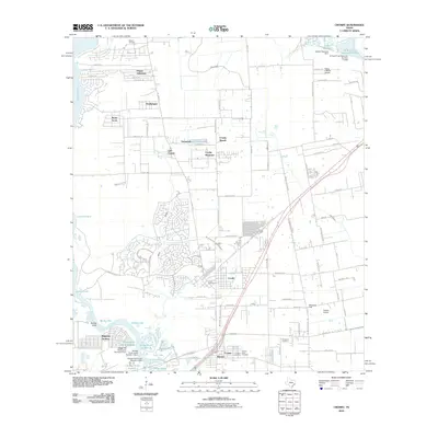 2010 Crosby2010 Print · USGSCoastal prairie and river bottomlands east of Houston are captured here as the century's first decade concludes. Genealogists and local researchers can locate Bohemian Hall, the Evergreen Cemetery, and several small airfields including Flying F Ranch Airport.
 - 2010 Map of Winnie NW, 2010 Print
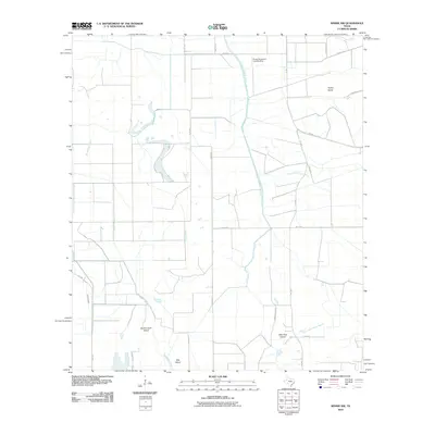 2010 Winnie NW2010 Print · USGSJefferson County’s coastal prairie and bayou country are captured here in the early twenty-first century, showcasing a landscape shaped by water and agriculture. Researchers can trace the paths of Spindletop Bayou and find local landmarks like Double Gum Island and the Sonny Broussard Landing Strip.
 - 2010 Map of Whites Bayou, 2010 Print
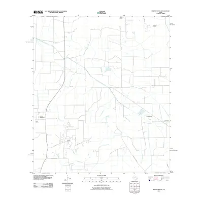 2010 Whites Bayou2010 Print · USGSLiberty County’s rural coastal plain is mapped here just after the millennium, showing a landscape defined by ranching and energy. Genealogists can locate Abshier Settlement and historic burial sites like Sahara Cemetery and Abshier Cemetery.
 - 2010 Map of Shiloh, 2010 Print
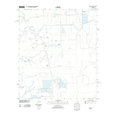 2010 Shiloh2010 Print · USGSCoastal Liberty County in the early 2000s is shown here as a landscape of irrigation canals, bayous, and scattered family cemeteries. Genealogists can locate numerous local burial sites including Lone Star Cemetery, Swinney Cemetery, and Worthy Cemetery.
 - 2010 Map of Moss Bluff, 2010 Print
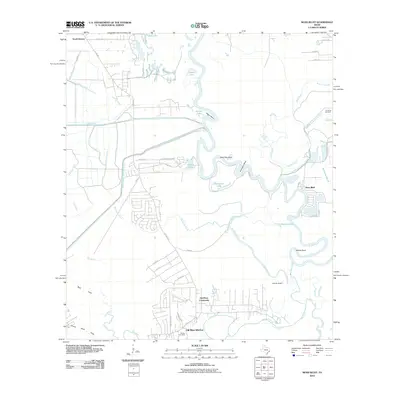 2010 Moss Bluff2010 Print · USGSLiberty County's river-bottom lands are shown here as a maze of oxbows and canals in the early twenty-first century. Researchers can trace family history at Reeves Cemetery or explore the shifting banks of the Trinity River near Moss Bluff and Old River-Winfree.
 - 2010 Map of Sheeks, 2010 Print
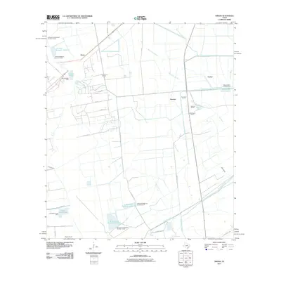 2010 Sheeks2010 Print · USGSLiberty County's coastal plains were a hub of oil production and water engineering in the early twenty-first century. Genealogists and historians can locate old family-named sites like Rogers Airport and industrial landmarks such as the Esperson Dome Oil Field and Lynchburg Canal.
 - 2010 Map of Capers Ridge, 2010 Print
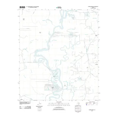 2010 Capers Ridge2010 Print · USGSThe Trinity River bottomlands of Liberty County are captured here in the early twenty-first century as a maze of oxbows and oil interests. Researchers can trace the river's complex hydrology through Rosewood Lake and Pecan Lake or locate the Hardin Oil Field near Dayton Lakes.
 - 2010 Map of Rayburn, 2010 Print
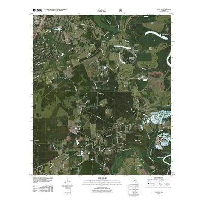 2010 Rayburn2010 Print · USGSThe Shepherd area of East Texas comes into focus in the early 2010s, showing a network of timberland communities and rural ferry roads. Researchers can trace family sites like Coley Creek Cemetery or follow the waters of Lake Tejas and the Trinity River.
 - 2010 Map of Westcott, 2010 Print
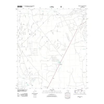 2010 Westcott2010 Print · USGSLiberty County in the early 2000s remains a landscape of rural settlements and meandering waterways north of Cleveland. Genealogists can locate several family burial grounds, including Roark Cemetery and Squier Cemetery, alongside the winding Tarkington Bayou.
Showing maps 1-25 of 108
Top cities of Liberty County
- Liberty historical maps
- Cleveland historical maps
- Dayton historical maps
- Daisetta historical maps
- Ames historical maps
- Plum Grove historical maps
See more
Frequently asked questions
- What are the different types of historical maps available for Liberty County?
- What is the oldest map of Liberty County?
- Where can I purchase historical maps of Liberty County for my home or office?
- Where can I download high-res historical maps of Liberty County?
- Are there historical topographic maps available for Liberty County?
- Is there historical aerial imagery available for Liberty County?
- Where are historical maps of Liberty County sourced from?