2010s Maps of Motley County, Texas
Explore 100 historic maps of Motley County from the 2010s. These maps offer a rare glimpse into what life looked like during the 2010s — showing old roads, neighborhoods, homes, and landmarks that have changed or disappeared over time.
Whether you're researching your family's past, planning a metal detecting trip, or studying how Motley County's landscape evolved across the 2010s, these high-resolution maps are a powerful tool for exploring the history of this region.
- Focus on a specific era: All maps on this page are from the 2010s, giving you a focused view of this time period.
- See what’s changed: Compare century-old streets, trails, and buildings to today's modern landscape using overlays and satellite layers.
- Research with precision: Use these maps for genealogy, historical research, land use analysis, or educational projects.
- View, download, or print: Maps are fully viewable online in high resolution, and can be downloaded or printed for your own records.
Start exploring Motley County's history through authentic maps from the 2010s. This is your window into the past.
Motley County, TX maps
(100)- 2010 Map of Mac Bain, 2010 Print
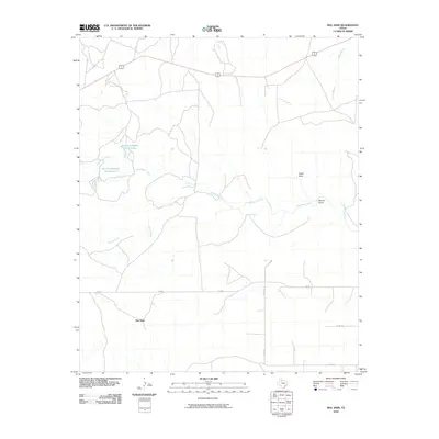 2010 Mac Bain2010 Print · USGSMotley County, Texas, is captured here in the early twenty-first century, showcasing the rural ranching landscape and its vital water sources. Researchers can trace local landmarks like Mac Bain and the reservoirs of Harold Campbell North Lake or Harold Campbell South Lake.
 - 2010 Map of Hornica Creek, 2010 Print
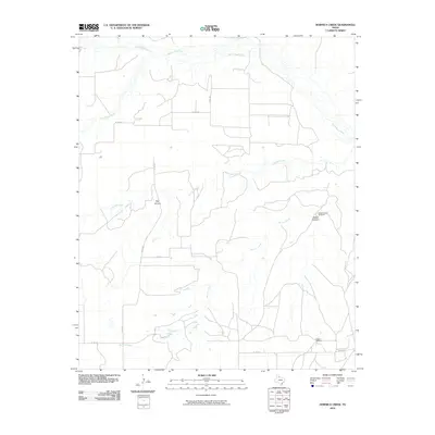 2010 Hornica Creek2010 Print · USGSMotley County ranch lands are documented here during the early twenty-first century, showing a terrain defined by deep canyons and critical water points. Researchers can trace the drainage of Hornica Creek and locate remote ranch landmarks like Walker Canyon Windmill and Dugout Windmill.
 - 2010 Map of Afton, 2010 Print
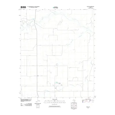 2010 Afton2010 Print · USGSDickens County in the early 2000s shows a landscape of resilient rural settlements and managed water resources. Researchers can locate family landmarks like the Afton Cemetery and follow the distinct local geography of Patton Springs and the Tongue River.
 - 2010 Map of Fields Canyon, 2010 Print
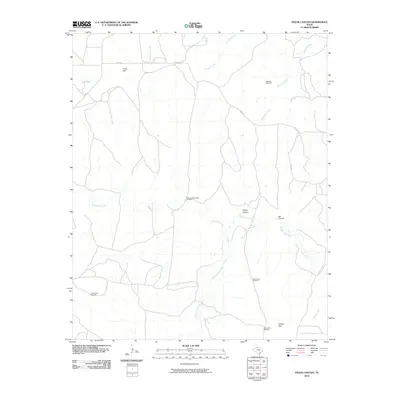 2010 Fields Canyon2010 Print · USGSCottle County ranchlands are documented here in the early 21st century, showing a terrain defined by water scarcity and cattle management. Trace the locations of historic livestock infrastructure like Lucky Knob Windmill, Cooper Flat, and the Middle Pease River.
 - 2010 Map of Flomot, 2010 Print
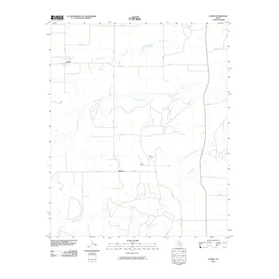 2010 Flomot2010 Print · USGSThe ranching and farming lands of Motley County are documented here in the early twenty-first century. Genealogists and local historians can trace the road networks connecting Flomot and Whitestar, as well as landmarks like Twin Windmill and Miller Springs.
 - 2010 Map of Matador, 2010 Print
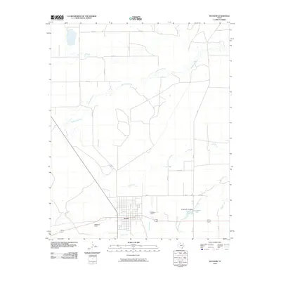 2010 Matador2010 Print · USGSMatador and its surrounding ranchlands are documented here in the early twenty-first century as the community centers on its historic grid. Genealogists and local historians can trace family sites near East Mound Cemetery or follow the paths of Middle Pease River and Hackberry Draw.
 - 2010 Map of Folley, 2010 Print
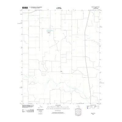 2010 Folley2010 Print · USGSFolley and the surrounding ranchlands of Motley County appear here in the early twenty-first century, showing a landscape defined by water conservation and ranching. Trace the drainages of Quitaque Creek and Kent Creek or locate the Soil Conservation Service Site 7 Reservoir.
 - 2010 Map of Sanders Hollow, 2010 Print
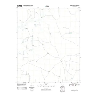 2010 Sanders Hollow2010 Print · USGSDickens County ranching country is documented here in the early 2000s, showing a landscape shaped by water and cattle. Researchers can trace family-named landmarks like Carolyn Windmill and Jobe Windmill or follow the path of the Tongue River and Middle Creek.
 - 2010 Map of Dumont, 2010 Print
 2010 Dumont2010 Print · USGSDumont and its surrounding ranchlands are captured here in the early twenty-first century as the cattle economy continues to shape the King County landscape. Researchers can locate family landmarks like the Dumont Cemetery and a wide network of named water stations including the Dillar Windmill and McDuff Windmill.
 - 2010 Map of Quitaque Peaks, 2010 Print
 2010 Quitaque Peaks2010 Print · USGSMotley County, Texas, is captured here in the early twenty-first century, showing the rugged breaks and canyons of the Caprock Escarpment. Researchers can trace the path of the Quitaque Railway Tunnel and locate landmarks like Quitaque Peaks and McWilliams Lake.
 - 2010 Map of North Windmill, 2010 Print
 2010 North Windmill2010 Print · USGSWolf Flat in Hall County is shown at the start of the twenty-first century, revealing a landscape defined by ranching infrastructure and seasonal watercourses. Researchers can trace family-named landmarks like Dogtown Windmill, Reese Windmill, and Barton Windmill across the panhandle plains.
 - 2010 Map of Roaring Springs, 2010 Print
 2010 Roaring Springs2010 Print · USGSMotley County at the start of the decade shows a landscape defined by ranching routes and spring-fed draws. Genealogists can locate Roaring Springs Cemetery and Scott Cemetery or trace the drainage of Tee Pee Creek.
 - 2010 Map of Cottonwood Camp, 2010 Print
 2010 Cottonwood Camp2010 Print · USGSHall County ranching culture is documented here at the start of the 21st century, showing an landscape of remote camps and vital water infrastructure. Researchers can trace the layout of family ranching sites like Turkey Creek Ranch and isolated landmarks such as Cid Gitus Windmill or Poker Canyon.
 - 2010 Map of China Canyon, 2010 Print
 2010 China Canyon2010 Print · USGSCottle County ranch land in the early twenty-first century reveals a landscape shaped by water and wind. Researchers can locate remote ranching infrastructure like Swenson Ranch and numerous historic water markers, including Eastman Windmill and Thief Hollow.
 - 2010 Map of Ballard Camp, 2010 Print
 2010 Ballard Camp2010 Print · USGSMotley County ranchlands are documented here in the early twenty-first century, showing the critical water infrastructure of West Texas. Researchers can trace land use through named features like Ballard Camp, Big Old Glory Windmill, and the Middle Pease River.
 - 2010 Map of Dick Moore Canyon, 2010 Print
 2010 Dick Moore Canyon2010 Print · USGSMotley County's ranching landscape is captured here in the early twenty-first century, showing the essential water infrastructure of the Texas Panhandle. Genealogists and local historians can locate specific family-named landmarks like Mott Camp, Miller Springs, and Waybourn Windmill.
 - 2010 Map of Rustler Camp, 2010 Print
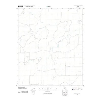 2010 Rustler Camp2010 Print · USGSThe West Texas ranching country of Dickens County is mapped here in the early 21st century. Researchers can trace the network of rural routes like FM 193 and follow the branching waters of the Tongue River, Wolf Creek, and Rustler Camp.
 - 2010 Map of Wake, 2010 Print
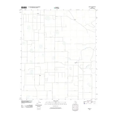 2010 Wake2010 Print · USGSCrosby County agricultural lands are captured here during a period of modern ranching and farming in the early twenty-first century. Researchers can locate family sites near Wake or trace local history at Antelope Cemetery and the Gardner Farm Airport.
 - 2010 Map of Turtle Hole Camp, 2010 Print
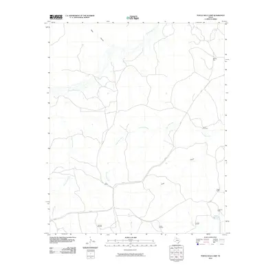 2010 Turtle Hole Camp2010 Print · USGSMotley County ranch land is captured here in the early twenty-first century, showing a landscape defined by scattered camps and essential water works. Researchers can trace the placement of the Red Windmill, Turtle Hole Camp, and Luckyknob Camp along the Turtle Hole Creek corridor.
 - 2010 Map of Dougherty, 2010 Print
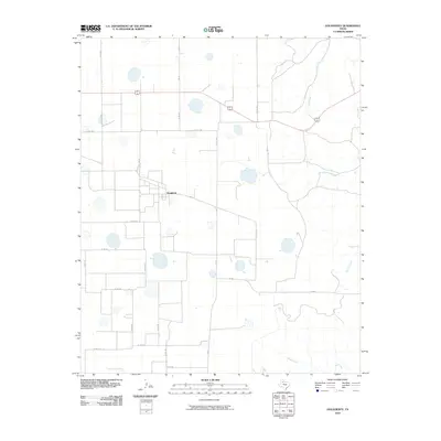 2010 Dougherty2010 Print · USGSThe community of Dougherty stands at the heart of this Floyd County landscape during the early 2000s. Genealogists and local historians can trace the rural road network and drainage patterns around Mott Creek, Wolf Creek, and FM 28.
 - 2010 Map of Tee Pee City, 2010 Print
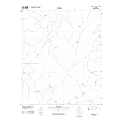 2010 Tee Pee City2010 Print · USGSCottle County ranching country is captured here during the first decade of the 2000s, detailing a vast network of water infrastructure and cattle traps. Researchers can trace historic ranch boundaries and locations of family-named landmarks like the Dave Harris Windmill, Bull Pasture Hill, and Tee Pee City.
 - 2010 Map of Russellville, 2010 Print
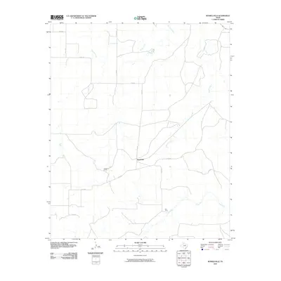 2010 Russellville2010 Print · USGSMotley County ranching country is captured in the early twenty-first century, showing a landscape defined by the winding Tongue River and quiet settlements. Researchers can trace local landmarks like Russellville Camp and Bird Ranch along the banks of Tee Pee Creek.
 - 2010 Map of Quitaque, 2010 Print
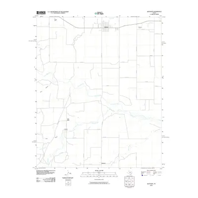 2010 Quitaque2010 Print · USGSBriscoe County's High Plains landscape is captured here in the early twenty-first century, centered on the town of Quitaque. Researchers can trace the layout of rural outposts like Gasoline and find family sites at Rest Haven Cemetery.
 - 2010 Map of Whiteflat, 2010 Print
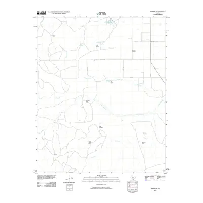 2010 Whiteflat2010 Print · USGSThe community of Whiteflat in the Texas Panhandle is captured here during the early twenty-first century, showing a landscape defined by ranching and rugged geography. Genealogists and researchers can locate the Whiteflat Cemetery and trace the paths of Jesse James Draw and the Middle Pease River.
 - 2010 Map of Northfield, 2010 Print
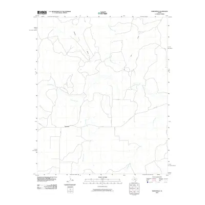 2010 Northfield2010 Print · USGSNorthfield and the surrounding Motley County ranch lands are documented here in the early twenty-first century. Researchers can trace the drainage of the North Pease River and locate landmarks like Housetop and the small settlement of Northfield.
Showing maps 1-25 of 100
Top cities of Motley County
Frequently asked questions
- What are the different types of historical maps available for Motley County?
- What is the oldest map of Motley County?
- Where can I purchase historical maps of Motley County for my home or office?
- Where can I download high-res historical maps of Motley County?
- Are there historical topographic maps available for Motley County?
- Is there historical aerial imagery available for Motley County?
- Where are historical maps of Motley County sourced from?