2010s Maps of Panola County, Texas
Explore 90 historic maps of Panola County from the 2010s. These maps offer a rare glimpse into what life looked like during the 2010s — showing old roads, neighborhoods, homes, and landmarks that have changed or disappeared over time.
Whether you're researching your family's past, planning a metal detecting trip, or studying how Panola County's landscape evolved across the 2010s, these high-resolution maps are a powerful tool for exploring the history of this region.
- Focus on a specific era: All maps on this page are from the 2010s, giving you a focused view of this time period.
- See what’s changed: Compare century-old streets, trails, and buildings to today's modern landscape using overlays and satellite layers.
- Research with precision: Use these maps for genealogy, historical research, land use analysis, or educational projects.
- View, download, or print: Maps are fully viewable online in high resolution, and can be downloaded or printed for your own records.
Start exploring Panola County's history through authentic maps from the 2010s. This is your window into the past.
Panola County, TX maps
(90)- 2010 Map of River Hill, 2010 Print
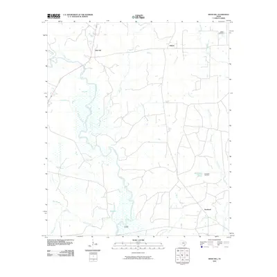 2010 River Hill2010 Print · USGSEast Texas river life and energy infrastructure are captured here in the early 21st century. Researchers can trace rural settlements like Deadwood and Midyett alongside the industrial footprint of the Carthage Gas Field.
 - 2010 Map of Fair Play, 2010 Print
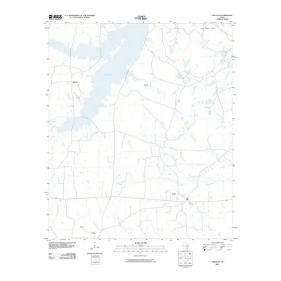 2010 Fair Play2010 Print · USGSEastern Rusk County in the early twenty-first century is a landscape of creek bottoms and quiet rural settlements. Genealogists and local researchers can trace family landmarks and burial sites like Sugar Hill Cemetery, Williams Cemetery, and the community of Fair Play.
 - 2010 Map of Stricklin Springs, 2010 Print
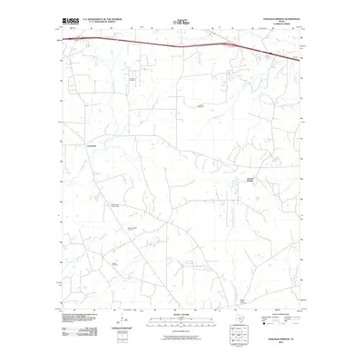 2010 Stricklin Springs2010 Print · USGSHarrison County at the start of the 2010s reveals a quiet landscape of rural settlements and woodland industry. Genealogists and local historians can locate several historic burial sites like Granbury Cemetery and trace the paths of Caddo Creek and the Elysian Gas Field.
 - 2010 Map of Grand Bluff, 2010 Print
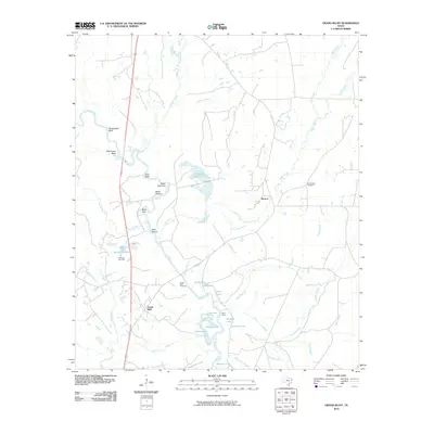 2010 Grand Bluff2010 Print · USGSEast Texas river-bottom life is documented here in the early twenty-first century, centered on the winding Sabine River. Researchers can locate family sites near Grand Bluff Cemetery or trace the geography of the Carthage Gas Field and Kelly Camp.
 - 2010 Map of Tatum, 2010 Print
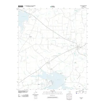 2010 Tatum2010 Print · USGSEast Texas at the end of the first decade of the 2000s shows a landscape shaped by large reservoirs and energy production near Tatum. Researchers can trace local lineage and land use through features like Harmony Hill Cemetery and the Tatum Gas Field.
 - 2010 Map of Tenaha West, 2010 Print
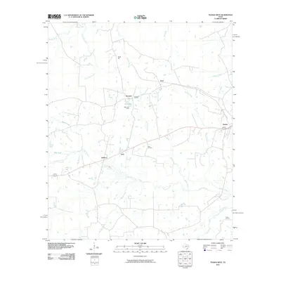 2010 Tenaha West2010 Print · USGSTenaha and the surrounding Shelby County rural communities are captured here in the early twenty-first century. Researchers can trace family history through local landmarks like Tennessee Cemetery, Bobo Cemetery, and the settlement at Porter Hill.
 - 2010 Map of Old Center, 2010 Print
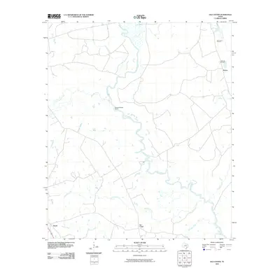 2010 Old Center2010 Print · USGSThe rural riverlands of Panola County are captured here during the early twenty-first century, showing a landscape defined by the winding Sabine River. Researchers can locate legacy sites like Old Prospect Cemetery and trace the small communities of Old Center and Reeves.
 - 2010 Map of Caledonia, 2010 Print
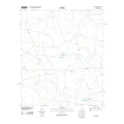 2010 Caledonia2010 Print · USGSEast Texas at the turn of the decade reveals a landscape of enduring rural communities and family-named landmarks. Genealogists can trace deep local roots through Miles Cemetery, Langston-Spence Cemetery, and the riverfront settlement of Caledonia.
 - 2010 Map of Galloway, 2010 Print
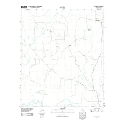 2010 Galloway2010 Print · USGSPanola County, Texas, and the Louisiana border come into focus in the early 21st century as the Sabine River transitions into the Toledo Bend Reservoir. Researchers can trace rural family legacies at Hogeye Cemetery or explore the industrial footprint of the Belle Bower Oil and Gas Field.
 - 2010 Map of Beckville, 2010 Print
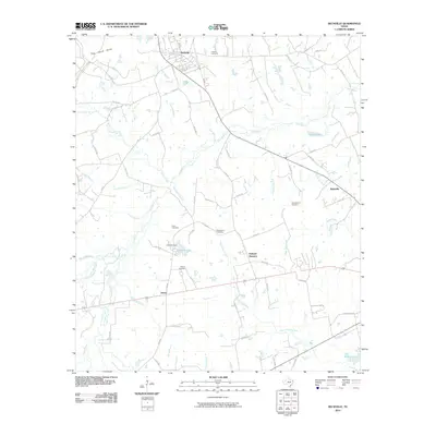 2010 Beckville2010 Print · USGSBeckville and the surrounding Panola County countryside are captured here in the early twenty-first century. Genealogists can locate several family-named landmarks and burial sites, including Walton Cemetery, Holland Quarters, and Davis Cemetery.
 - 2010 Map of De Berry, 2010 Print
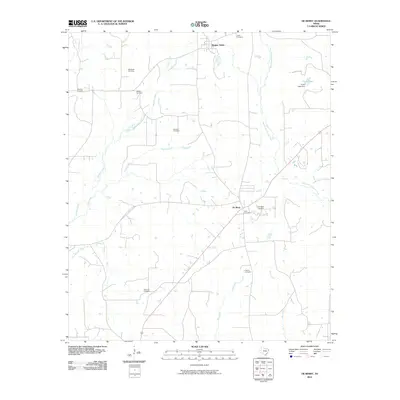 2010 De Berry2010 Print · USGSPanola County in the early twenty-first century reveals a landscape of enduring rural settlements and quiet creek bottoms. Genealogists can trace family heritage through a high density of burial sites including Welaton Cemetery, Lewis Cemetery, and Fourmile Cemetery.
 - 2010 Map of Waskom, 2010 Print
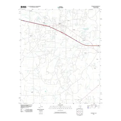 2010 Waskom2010 Print · USGSThe Texas-Louisiana borderlands come into focus in the early 21st century, showing a landscape defined by industry and bayous. Genealogists and historians can locate numerous burial sites like Lester Cemetery or trace the extent of the Waskom Gas and Oil Field.
 - 2010 Map of Tenaha East, 2010 Print
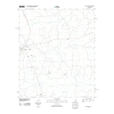 2010 Tenaha East2010 Print · USGSShelby County, Texas, at the turn of the decade is captured here, showing the rural settlement patterns around Tenaha. Researchers can locate family landmarks like Restland Cemetery or trace the winding paths of Spinney Creek and the Sabine River across the county line.
 - 2010 Map of Old Panola, 2010 Print
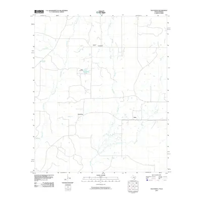 2010 Old Panola2010 Print · USGSPanola County, Texas, is shown here as a quiet rural landscape in the early twenty-first century, structured by ancient creek beds and small settlements. Genealogists and local historians can trace family locations near Centennial Cemetery, Old Panola, or the waters of Bagley Lake.
 - 2010 Map of Long Branch, 2010 Print
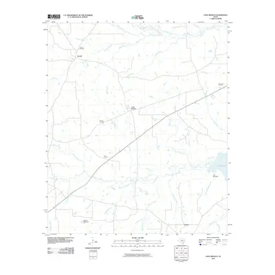 2010 Long Branch2010 Print · USGSRusk County settlement and woodland topography are detailed in this early twenty-first-century survey of the Piney Woods region. Genealogists can trace local roots at Buckner and Roquemore Cemetery, or locate family landmarks near Greens Mountain and Lake Murvaul.
 - 2010 Map of Timpson, 2010 Print
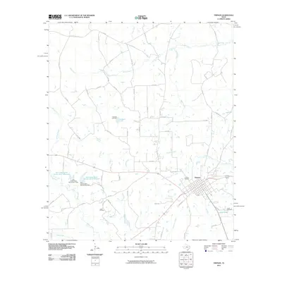 2010 Timpson2010 Print · USGSThe East Texas town of Timpson is captured at the start of the decade, surrounded by a complex web of rural roads and creek drainages. Researchers can trace local family lineages at Woodlawn Cemetery and Dixon Cemetery or locate landmarks like Hudman Lake.
 - 2010 Map of Carthage, 2010 Print
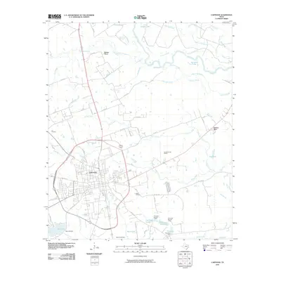 2010 Carthage2010 Print · USGSCarthage and its surrounding East Texas bottomlands are shown in great detail during the early twenty-first century. Researchers can trace local family history through landmarks like Walker Cemetery and the waters of Horseshoe Lake or Irons Bayou.
 - 2010 Map of Panola, 2010 Print
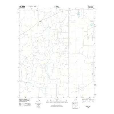 2010 Panola2010 Print · USGSThe Texas-Louisiana borderlands appear in this recent survey, showing the rural landscape just before the turn of the decade. Genealogists and local historians can locate State Line Cemetery, Ivory Cemetery, and the industrial footprint of the Bethany Oil and Gas Field.
 - 2010 Map of Harris Chapel, 2010 Print
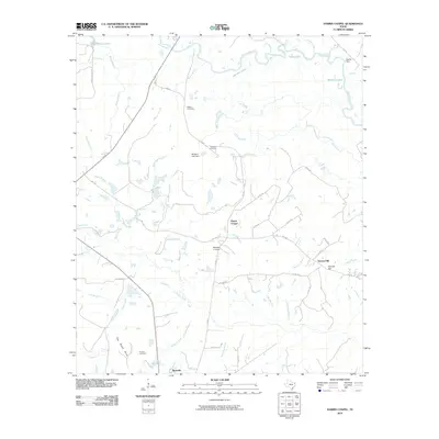 2010 Harris Chapel2010 Print · USGSPanola County, Texas, is captured here in the early twenty-first century as a landscape of river bottoms and rising hills. Researchers can trace family history through Watson Cemetery and Conner Cemetery or locate landmarks like the Beckville Lookout and Harris Chapel.
 - 2010 Map of Darco, 2010 Print
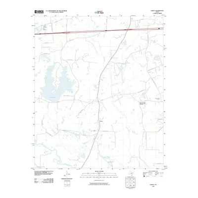 2010 Darco2010 Print · USGSHarrison County at the start of the 2010s reveals a landscape where industrial mining and rural settlements meet along the Sabine River. You can trace local family history and industry through sites like the Darco Mine, Roseborough Cemetery, and Roseborough Springs.
 - 2010 Map of Gary, 2010 Print
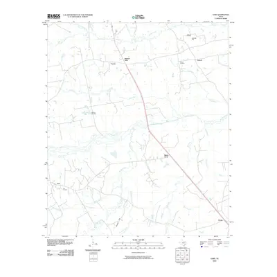 2010 Gary2010 Print · USGSPanola County at the start of the millennium retains its traditional rural layout of scattered settlements and winding creek beds. Researchers can locate family burial sites at Gary Cemetery or Antioch Cemetery and trace the paths of Murvaul Creek and Sixmile Creek.
 - 2010 Map of Lake Murvaul, 2010 Print
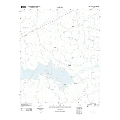 2010 Lake Murvaul2010 Print · USGSPanola County's landscape in the early 2000s is defined by the expansive waters of Lake Murvaul and its rural homesteads. Researchers can trace family roots through numerous small burial grounds like Heath Long Cemetery and Miller Cemetery or locate the Boy Scouts of America Camp.
 - 2010 Map of Logansport West, 2010 Print
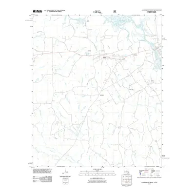 2010 Logansport West2010 Print · USGSThe Texas-Louisiana borderlands come into focus in 2010, centered on the riverfront communities of Joaquin and Haslam. Researchers can trace rural lineages through Johnson Cemetery and Truitt Cemetery or explore the shores of the Toledo Bend Reservoir.
 - 2013 Map of River Hill, 2013 Print
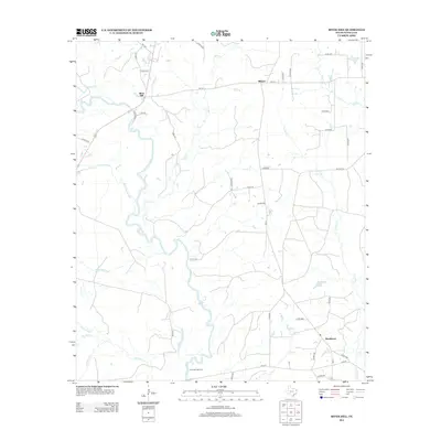 2013 River Hill2013 Print · USGSPanola County, Texas, is shown here in the early 2010s, where the winding Sabine River meets a landscape of rural crossroads and energy production. Researchers can locate small communities like Deadwood and Midyett alongside the vast Carthage Gas Field.
 - 2013 Map of Tatum, 2013 Print
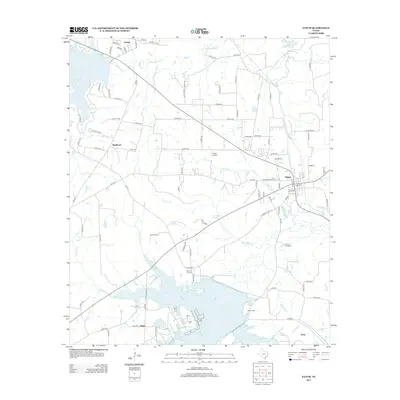 2013 Tatum2013 Print · USGSEast Texas settlements and energy infrastructure are highlighted in this 2013 survey of the area around Tatum and Easton. Researchers can trace rural lineages at Harmony Hill Cem or explore the landscape around Lake Cherokee and the Tatum Gas Field.
Showing maps 1-25 of 90
Top cities of Panola County
Frequently asked questions
- What are the different types of historical maps available for Panola County?
- What is the oldest map of Panola County?
- Where can I purchase historical maps of Panola County for my home or office?
- Where can I download high-res historical maps of Panola County?
- Are there historical topographic maps available for Panola County?
- Is there historical aerial imagery available for Panola County?
- Where are historical maps of Panola County sourced from?