2010s Maps of Runnels County, Texas
Explore 100 historic maps of Runnels County from the 2010s. These maps offer a rare glimpse into what life looked like during the 2010s — showing old roads, neighborhoods, homes, and landmarks that have changed or disappeared over time.
Whether you're researching your family's past, planning a metal detecting trip, or studying how Runnels County's landscape evolved across the 2010s, these high-resolution maps are a powerful tool for exploring the history of this region.
- Focus on a specific era: All maps on this page are from the 2010s, giving you a focused view of this time period.
- See what’s changed: Compare century-old streets, trails, and buildings to today's modern landscape using overlays and satellite layers.
- Research with precision: Use these maps for genealogy, historical research, land use analysis, or educational projects.
- View, download, or print: Maps are fully viewable online in high resolution, and can be downloaded or printed for your own records.
Start exploring Runnels County's history through authentic maps from the 2010s. This is your window into the past.
Runnels County, TX maps
(100)- 2010 Map of Herring Ranch, 2010 Print
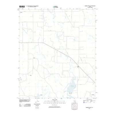 2010 Herring Ranch2010 Print · USGSRunnels County ranching and water resources are well-documented in this 2010 survey of the area around Valley View. Genealogists and local historians can trace family-named landmarks like the Herring Ranch and industrial sites including the Motley Oil Field.
 - 2010 Map of Hog Mountain, 2010 Print
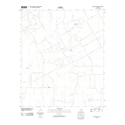 2010 Hog Mountain2010 Print · USGSRunnels County ranch lands are documented here in the early twenty-first century, centered on the rural community of Marie. Researchers can trace the drainage of Oak Creek and Hog Creek or locate landmarks like Hog Mountain and Dry Hollow.
 - 2010 Map of Wilmeth, 2010 Print
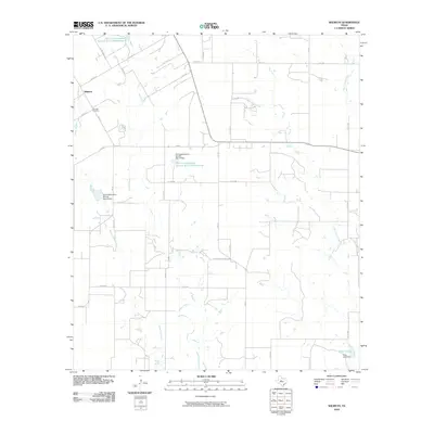 2010 Wilmeth2010 Print · USGSWilmeth and the surrounding West Texas ranchlands are captured here during the first decade of the 2000s. Genealogists and local historians can locate family landmarks such as the Wilmeth Cemetery or trace the drainage of Valley Creek and Mustang Branch.
 - 2010 Map of Miles, 2010 Print
 2010 Miles2010 Print · USGSMiles and the surrounding Runnels County plains are shown at the turn of the millennium, defined by its historic river crossings and rail-side settlement. Genealogists and local historians can locate Miles Cemetery, the Sikes School, and water landmarks like Sixteen Mile Crossing.
 - 2010 Map of Lowake, 2010 Print
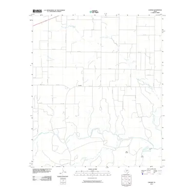 2010 Lowake2010 Print · USGSConcho County ranch lands and the small community of Lowake are captured here during the first decade of the millennium. Genealogists can trace family holdings along the Concho River or follow the route of Old Sweet Home School Rd.
 - 2010 Map of Maverick, 2010 Print
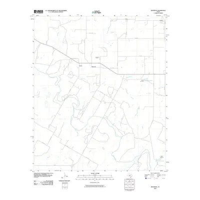 2010 Maverick2010 Print · USGSRunnels County at the turn of the 21st century reveals a landscape defined by the Colorado River and the rural communities of Maverick and Norton. Genealogists and local historians can trace family ties through Maverick Cemetery and Castleberry Cemetery or locate the Moore Lake Dam.
 - 2010 Map of Church Peak, 2010 Print
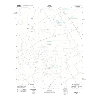 2010 Church Peak2010 Print · USGSTexas ranching and oil country come into focus during this 2010 survey of Taylor County. Researchers can trace the legacy of the Fort Chadbourne Oil Field and the complex water systems at Odom Currie Wylie Estate Lake Number 1.
 - 2010 Map of Rowena, 2010 Print
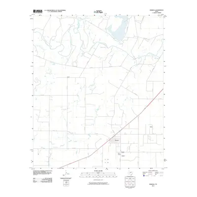 2010 Rowena2010 Print · USGSIn the heart of Runnels County during the early 21st century, this area shows a landscape defined by the Colorado River and oil exploration. Genealogists can locate family sites at Evergreen Cemetery or Saint Josephs Cemetery and trace the legacy of the Kristoff School.
 - 2010 Map of Wingate, 2010 Print
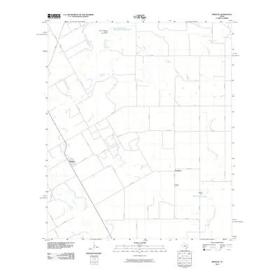 2010 Wingate2010 Print · USGSWingate and the surrounding Runnels County countryside are captured here in the early twenty-first century, showcasing a landscape of cattle guards and creek crossings. Genealogists and local historians can trace family locations near Pumphrey, Mitchell Lake, and the Pumphrey Cemetery.
 - 2010 Map of Miles NW, 2010 Print
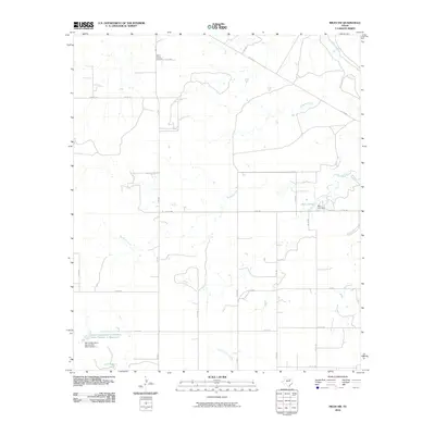 2010 Miles NW2010 Print · USGSNorthwest of Miles, Texas, in the early 2000s, this ranching landscape is defined by the winding tributaries of the Colorado River. Researchers can locate Mount Victory Cemetery and trace water management sites like Baca Lake and the Soil Conservation Service Site Number 1 Reservoir.
 - 2010 Map of Bradshaw, 2010 Print
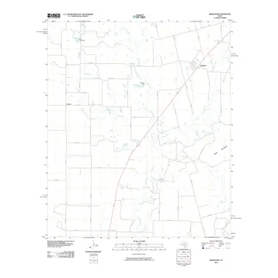 2010 Bradshaw2010 Print · USGSTaylor County ranching country and the small settlements of Bradshaw and Drasco are captured here in the early 2000s. Researchers can trace local water features and landmarks like Downing Lake, Moro Mountain, and the course of Bluff Creek.
 - 2010 Map of Novice West, 2010 Print
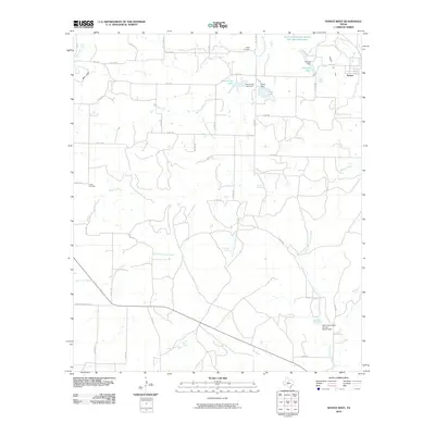 2010 Novice West2010 Print · USGSColeman County ranch lands and water projects are documented here as they appeared in 2010. Researchers can trace rural lineages through sites like Atoka Cemetery and Crews Cemetery or locate natural landmarks such as Blue Gap and Jim Ned Spring.
 - 2010 Map of Goldsboro, 2010 Print
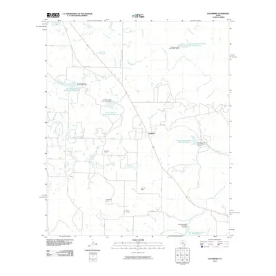 2010 Goldsboro2010 Print · USGSGoldsboro and the surrounding Coleman County ranch lands are documented here during the early twenty-first century. Genealogists and local historians can locate the Midway Cemetery and trace the drainage of Jim Ned Creek past landmarks like Jim Ned Peak.
 - 2010 Map of Crews, 2010 Print
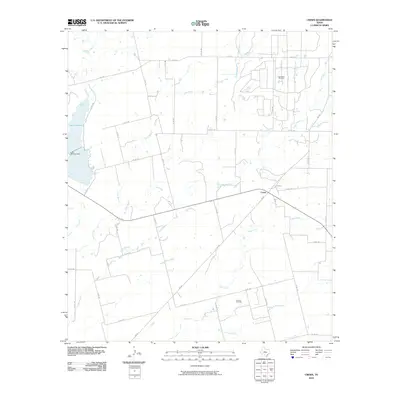 2010 Crews2010 Print · USGSRunnels County ranchlands and oil fields are captured here in the years before the recent decade's shifts. Genealogists and historians can trace the rural community of Crews and explore the industrial footprint of the Cree Sykes Oil Field and Lake Winters.
 - 2010 Map of Hatchel, 2010 Print
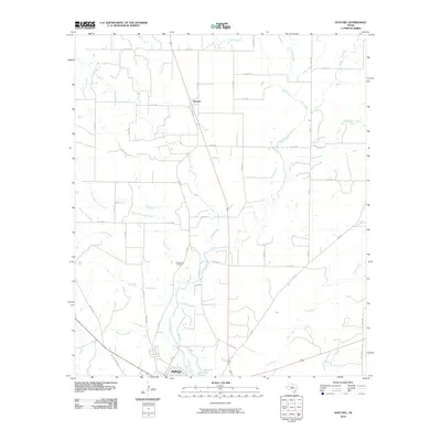 2010 Hatchel2010 Print · USGSRunnels County at the start of the 2010s shows a landscape of rural settlements and winding prairie creeks. Researchers can trace family history at the Old Runnels Cemetery or explore the area around Hatchel and the northern outskirts of Ballinger.
 - 2010 Map of Concho, 2010 Print
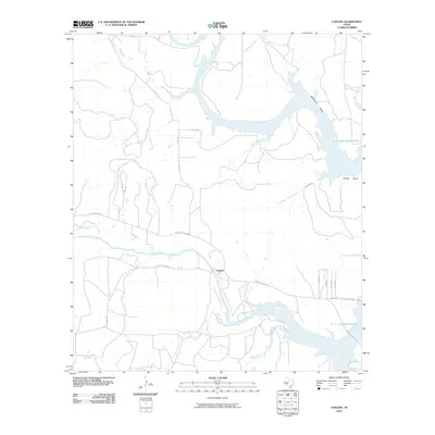 2010 Concho2010 Print · USGSConcho County at the start of the 2010s shows a landscape transformed by the waters of the O. H. Ivie Reservoir. Researchers can trace the original paths of the Colorado River and Concho River or locate local landmarks like Deadmans Bluff and Apache Hill.
 - 2010 Map of Paint Rock, 2010 Print
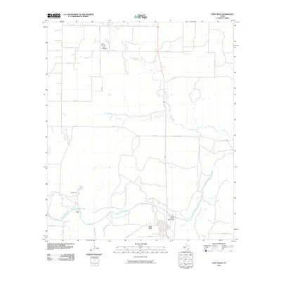 2010 Paint Rock2010 Print · USGSPaint Rock and the Concho River valley are captured here in the early twenty-first century, showing the enduring ranching and water infrastructure of Concho County. Genealogists and historians can trace family locations near Olfen, the Saint Boniface Cemetery, and Allison Lake.
 - 2010 Map of Bald Knob, 2010 Print
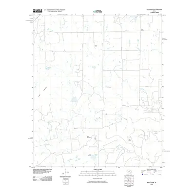 2010 Bald Knob2010 Print · USGSTaylor County ranchland and oil fields are captured here in the early twenty-first century, showing a landscape of mesas and creek beds. Genealogists and researchers can locate Dewey Cemetery, the Atwood Oil Field, and landmarks like Table Mountain.
 - 2010 Map of Little Grape Creek, 2010 Print
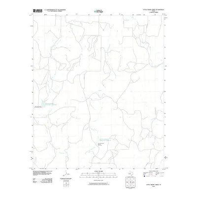 2010 Little Grape Creek2010 Print · USGSColeman County land use and water management are front and center in the first decade of the new millennium. Researchers can trace the drainage of Little Grape Creek and locate vital infrastructure like the Soil Conservation Service Site 1 Reservoir and Wheeler Branch.
 - 2010 Map of Winters, 2010 Print
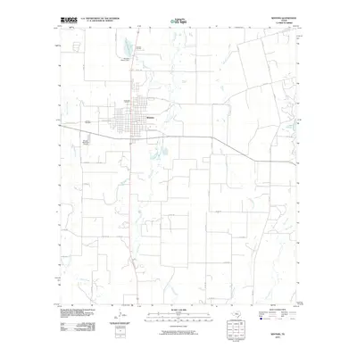 2010 Winters2010 Print · USGSWinters and the surrounding Runnels County prairie are captured here at the start of the 2010s. Genealogists and local historians can locate three distinct burial grounds including Northview and Fairview, or trace water history at the Old Lake Winters Dam.
 - 2010 Map of Talpa, 2010 Print
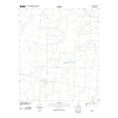 2010 Talpa2010 Print · USGSThe community of Talpa and the surrounding Coleman County ranch lands are documented here in the early twenty-first century. Researchers can trace family history at Herring Cemetery and Glen Cove Cemetery or follow the paths of Mustang Creek and Hords Creek.
 - 2010 Map of Buffalo Bluff, 2010 Print
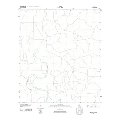 2010 Buffalo Bluff2010 Print · USGSThe Colorado River corridor in Runnels County remained a quiet agricultural landscape in the early 21st century. Genealogists and local historians can trace family ties at the Hoffman Cemetery or locate prominent landmarks like Buffalo Bluff and Herrings Bluff.
 - 2010 Map of O.H. Ivie Reservoir, 2010 Print
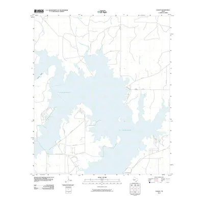 2010 O.H. Ivie Reservoir2010 Print · USGSConcho County's landscape appears here in the early twenty-first century, centered on the vast waters of the O. H. Ivie Reservoir. Family historians and locals can locate the Leaday Cemetery and trace the original paths of Grape Creek and Gattling Creek near the S. W. Freese Dam.
 - 2010 Map of Ballinger, 2010 Print
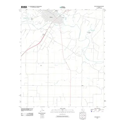 2010 Ballinger2010 Print · USGSRunnels County at the turn of the decade reveals a landscape where the Colorado River and Elm Creek shape the development of Ballinger. Local historians can trace cemetery records at Evergreen Cemetery or locate regional landmarks like Bethel and Bruce Field.
 - 2010 Map of Benoit, 2010 Print
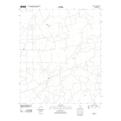 2010 Benoit2010 Print · USGSRunnels County at the turn of the 21st century remains a landscape of sprawling ranchland and quiet rural settlements. Genealogists and local historians can trace family land and burial sites like Norwood Cemetery or follow the paths of Mustang Creek and Hog Creek.
Showing maps 1-25 of 100
Top cities of Runnels County
Frequently asked questions
- What are the different types of historical maps available for Runnels County?
- What is the oldest map of Runnels County?
- Where can I purchase historical maps of Runnels County for my home or office?
- Where can I download high-res historical maps of Runnels County?
- Are there historical topographic maps available for Runnels County?
- Is there historical aerial imagery available for Runnels County?
- Where are historical maps of Runnels County sourced from?