2000s (21st Century) Maps of San Jacinto County, Texas
Explore 95 historic maps of San Jacinto County from the 2000s (21st Century). These maps offer a rare glimpse into what life looked like during the 2000s — showing old roads, neighborhoods, homes, and landmarks that have changed or disappeared over time.
Whether you're researching your family's past, planning a metal detecting trip, or studying how San Jacinto County's landscape evolved across the 2000s, these high-resolution maps are a powerful tool for exploring the history of this region.
- Focus on a specific era: All maps on this page are from the 2000s, giving you a focused view of this time period.
- See what’s changed: Compare century-old streets, trails, and buildings to today's modern landscape using overlays and satellite layers.
- Research with precision: Use these maps for genealogy, historical research, land use analysis, or educational projects.
- View, download, or print: Maps are fully viewable online in high resolution, and can be downloaded or printed for your own records.
Start exploring San Jacinto County's history through authentic maps from the 2000s. This is your window into the past.
San Jacinto County, TX maps
(95)- 2010 Map of Carlisle, 2010 Print
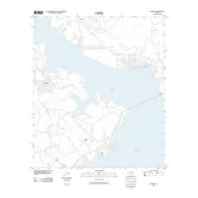 2010 Carlisle2010 Print · USGSThe shoreline of the Livingston Reservoir and the community of Carlisle are documented here in the early twenty-first century. Researchers can trace local landmarks like Liberty Hill Cemetery, Jims Corner, and the winding Trinity River.
 - 2010 Map of Chita, 2010 Print
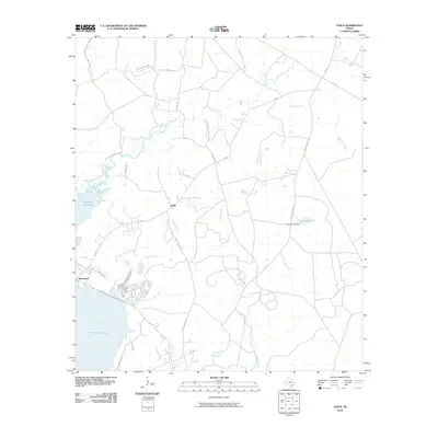 2010 Chita2010 Print · USGSTrinity County's riverfront and wooded uplands are captured here just after the first decade of the millennium. Genealogists and local historians can trace the vicinity of Chita and Sebastopol, following rural routes like Chita Cemetery Rd and Old Lister Place Rd.
 - 2010 Map of Trinity East, 2010 Print
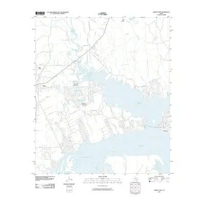 2010 Trinity East2010 Print · USGSThe East Texas lakefront was well-established by the early 2010s as residential growth centered on the Livingston Reservoir. Researchers can trace the development of lakeside communities like Sebastopol and the older roots of Trinity near Mill Town.
 - 2010 Map of Blanchard, 2010 Print
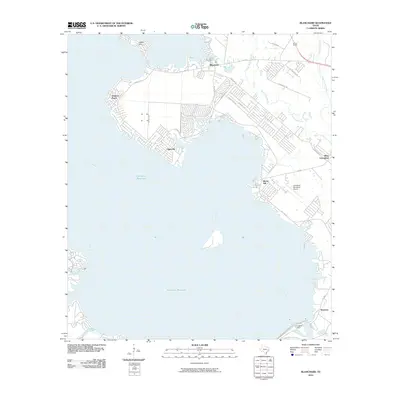 2010 Blanchard2010 Print · USGSThe eastern shores of the Trinity River basin come into focus in this late-career survey of Polk County. Genealogists and local historians can trace the lakeside development of West Livingston and the settlement at Swartout near the Livingston Dam.
 - 2010 Map of Schwab City, 2010 Print
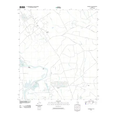 2010 Schwab City2010 Print · USGSThe Trinity River valley in southeastern Texas comes into focus here during the early twenty-first century. Genealogists and local historians can trace family-named sites like Drews Landing, the Livingston Oil Field, and the community of Ace.
 - 2010 Map of Goodrich, 2010 Print
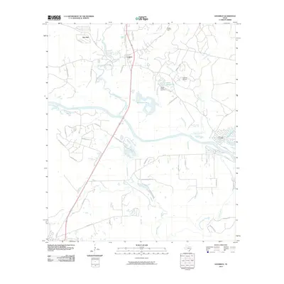 2010 Goodrich2010 Print · USGSSan Jacinto County settlement and industry are centered around the Trinity River in this 2010 survey. Genealogists and local historians can trace family-named roads and rural landmarks like the Morgan Creek Oil Field, Loghouse Stolport, and the community of Goodrich.
 - 2010 Map of Romayor, 2010 Print
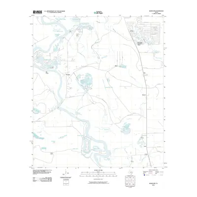 2010 Romayor2010 Print · USGSThe Trinity River bottomlands of Liberty County are captured here in the early twenty-first century, showing a landscape of river bends and rural hamlets. Researchers can trace family history at Hank Cemetery or explore the settlements of Romayor and Milvid.
 - 2010 Map of Rayburn, 2010 Print
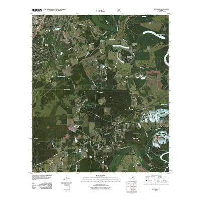 2010 Rayburn2010 Print · USGSThe Shepherd area of East Texas comes into focus in the early 2010s, showing a network of timberland communities and rural ferry roads. Researchers can trace family sites like Coley Creek Cemetery or follow the waters of Lake Tejas and the Trinity River.
 - 2010 Map of Stephen Creek, 2010 Print
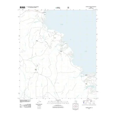 2010 Stephen Creek2010 Print · USGSSan Jacinto County's eastern lakefront and rural communities are documented here as they appeared in the early twenty-first century. Genealogists can trace family heritage at Mount Zion Cemetery and Robinson Cemetery or explore the wooded terrain around Snow Hill.
 - 2010 Map of Camilla, 2010 Print
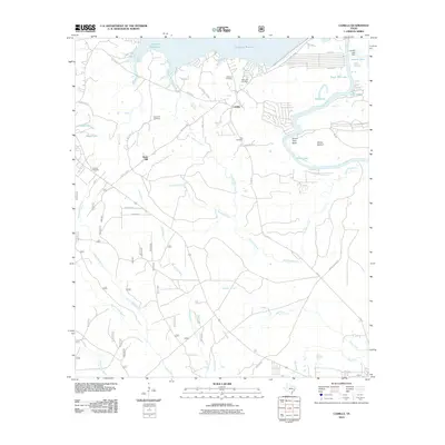 2010 Camilla2010 Print · USGSSan Jacinto County at the start of the 2010s reveals a landscape defined by the Livingston Reservoir and the winding Trinity River. Genealogists can locate several local burial sites, including Rose Hill Cemetery and Cochran Cemetery, while tracing the rural road networks around Camilla.
 - 2010 Map of Staley, 2010 Print
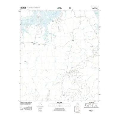 2010 Staley2010 Print · USGSWalker County's riverfront and rural communities are preserved here in the first decade of the millennium. Genealogists can trace family heritage through sites like Gospel Hill Cemetery, Chapel Cemetery, and the Sulphur Bluffs along the Livingston Reservoir.
 - 2010 Map of Bear Creek, 2010 Print
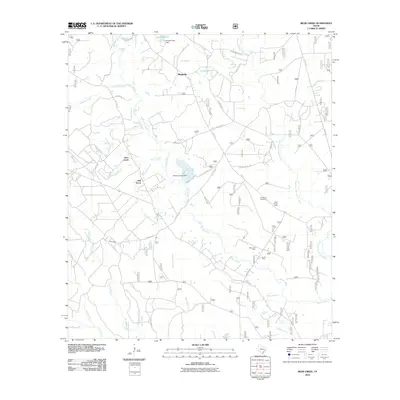 2010 Bear Creek2010 Print · USGSSan Jacinto County at the turn of the decade is shown here as a landscape of bayous and rural outposts. Local historians can trace family locations near Purkerson Cemetery or explore the geography of the Mercy Oil Field and the Shell Hunter Camp.
 - 2010 Map of Conroe NE, 2010 Print
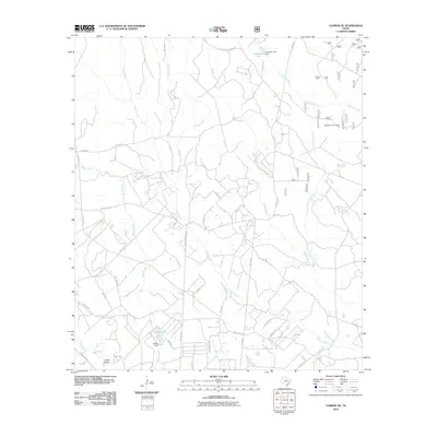 2010 Conroe NE2010 Print · USGSMontgomery County in the early 2000s remains a landscape of winding creeks and rural homesteads. Genealogists and local historians can trace family properties near Nebletts Hunter Camp, Steep Hollow, and the waters of McRae Lake.
 - 2010 Map of Westcott, 2010 Print
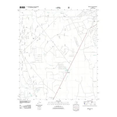 2010 Westcott2010 Print · USGSLiberty County in the early 2000s remains a landscape of rural settlements and meandering waterways north of Cleveland. Genealogists can locate several family burial grounds, including Roark Cemetery and Squier Cemetery, alongside the winding Tarkington Bayou.
 - 2010 Map of Maynard, 2010 Print
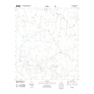 2010 Maynard2010 Print · USGSSan Jacinto County at the turn of the decade is a landscape of creek-fed timberlands and quiet rural settlements. Genealogists and local historians can locate several family cemeteries, including Old Waverly Cemetery and Lewis Cemetery, alongside the small crossroads of Maynard and Pumpkin.
 - 2010 Map of Coldspring, 2010 Print
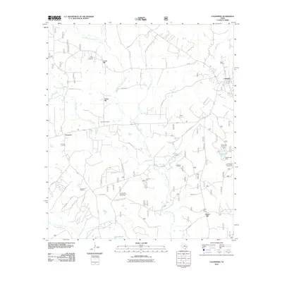 2010 Coldspring2010 Print · USGSSan Jacinto County at the end of the 2000s shows a landscape of river-bottom woodlands and active oil fields. Genealogists and historians can locate numerous family-named burial sites like Youngblood Cemetery and Butler Cemetery or trace the Lone Star Trail Primitive Camp Number One.
 - 2010 Map of Cleveland, 2010 Print
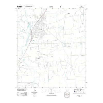 2010 Cleveland2010 Print · USGSTexas petroleum and riverine landscapes define this Liberty County quadrangle as it appeared in the early 2000s. Genealogists and researchers can trace local landmarks like Wells Cemetery and old rural settlements such as Snuff Ridge, Nimrod, and Ainsworth.
 - 2010 Map of Fostoria, 2010 Print
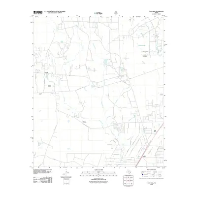 2010 Fostoria2010 Print · USGSLiberty County settlements and family cemeteries are documented here at the start of the 2010s. Genealogists and local historians can pinpoint Security Cemetery and Morgan Cemetery or trace the rail-side heritage of Security Siding.
 - 2010 Map of Oakhurst, 2010 Print
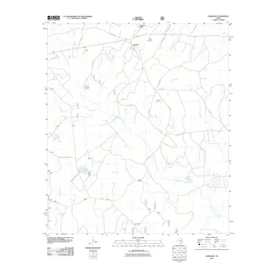 2010 Oakhurst2010 Print · USGSSan Jacinto County in the early twenty-first century reveals a landscape defined by the East Fork San Jacinto River and quiet rural settlements. Genealogists can trace family history through several local burial grounds, including Center Hill Cemetery, Cleveland Cemetery, and Jenkins Cemetery.
 - 2013 Map of Goodrich, 2013 Print
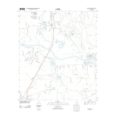 2013 Goodrich2013 Print · USGSThe Trinity River valley in San Jacinto County is captured here in the early twenty-first century, showing a landscape defined by its waterways and small communities. Genealogists and local historians can trace family-named routes and landmarks like Lake Station Cem, New Hope, and the riverside settlement of Urbana.
 - 2013 Map of Rayburn, 2013 Print
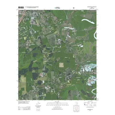 2013 Rayburn2013 Print · USGSThe rural landscapes and creek-fed bottomlands of San Jacinto County come into focus in this early twenty-first-century survey. Trace local history through family-named roads and established settlements like Shepherd, Rayburn, and the Coley Creek Cem.
 - 2013 Map of Schwab City, 2013 Print
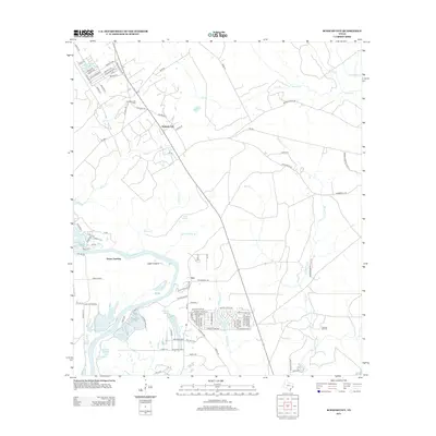 2013 Schwab City2013 Print · USGSThe Polk County oil country and the banks of the Trinity River are captured here during a period of modern residential growth. Genealogists and local historians can trace the development of Schwab City and Ace, or locate family sites near Drews Landing and Munson Lake.
 - 2013 Map of Bear Creek, 2013 Print
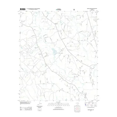 2013 Bear Creek2013 Print · USGSSan Jacinto County in the early twenty-first century reveals a landscape defined by its river-and-bayou networks and rural crossroads. Local researchers can trace family landmarks like Purkerson Cem or locate the site of the Mercy Oil Field and Shell Hunter Camp.
 - 2013 Map of Coldspring, 2013 Print
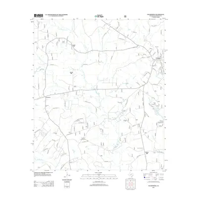 2013 Coldspring2013 Print · USGSColdspring and the surrounding San Jacinto County forests are documented here during the early twenty-first century. Researchers can trace local heritage through numerous burial sites like Youngblood Cem or locate industrial landmarks such as the Coldspring Oil Field.
 - 2013 Map of Conroe NE, 2013 Print
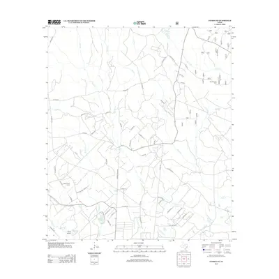 2013 Conroe NE2013 Print · USGSMontgomery County at the start of the 2010s shows a landscape of creek-fed valleys and increasing rural settlement. Researchers can trace local landmarks like Outlaw Flyers Airport or find family-named routes such as Farris Rd and Salem Church Rd.
Showing maps 1-25 of 95
Top cities of San Jacinto County
Frequently asked questions
- What are the different types of historical maps available for San Jacinto County?
- What is the oldest map of San Jacinto County?
- Where can I purchase historical maps of San Jacinto County for my home or office?
- Where can I download high-res historical maps of San Jacinto County?
- Are there historical topographic maps available for San Jacinto County?
- Is there historical aerial imagery available for San Jacinto County?
- Where are historical maps of San Jacinto County sourced from?