2000s (21st Century) Maps of Sherman County, Texas
Explore 140 historic maps of Sherman County from the 2000s (21st Century). These maps offer a rare glimpse into what life looked like during the 2000s — showing old roads, neighborhoods, homes, and landmarks that have changed or disappeared over time.
Whether you're researching your family's past, planning a metal detecting trip, or studying how Sherman County's landscape evolved across the 2000s, these high-resolution maps are a powerful tool for exploring the history of this region.
- Focus on a specific era: All maps on this page are from the 2000s, giving you a focused view of this time period.
- See what’s changed: Compare century-old streets, trails, and buildings to today's modern landscape using overlays and satellite layers.
- Research with precision: Use these maps for genealogy, historical research, land use analysis, or educational projects.
- View, download, or print: Maps are fully viewable online in high resolution, and can be downloaded or printed for your own records.
Start exploring Sherman County's history through authentic maps from the 2000s. This is your window into the past.
Sherman County, TX maps
(140)- 2010 Map of Capps Switch, 2010 Print
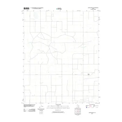 2010 Capps Switch2010 Print · USGSThe Texas Panhandle in the early twenty-first century is defined by its vast grid of section roads and the winding path of North Palo Duro Creek. Genealogists and local historians can trace rural landmarks and old routes near Capps Switch and Cemetery Rd.
 - 2010 Map of Lautz, 2010 Print
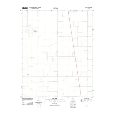 2010 Lautz2010 Print · USGSSherman County in the early twenty-first century is a landscape of expansive ranches and straight-line cattle roads. Genealogists and local historians can trace family locations near Whaley Cemetery and the Pronger Brothers Ranch Airport.
 - 2010 Map of Pleasure Pond, 2010 Print
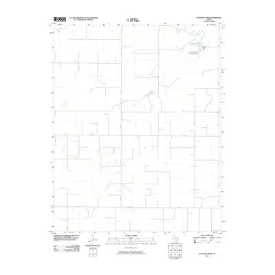 2010 Pleasure Pond2010 Print · USGSSherman County ranching and water management are the focus of this Panhandle survey from the early 2000s. Researchers can trace cattle industry infrastructure through features like the Coldwater Cattle Company Lake and the Pleasure Pond Dam.
 - 2010 Map of Cactus East, 2010 Print
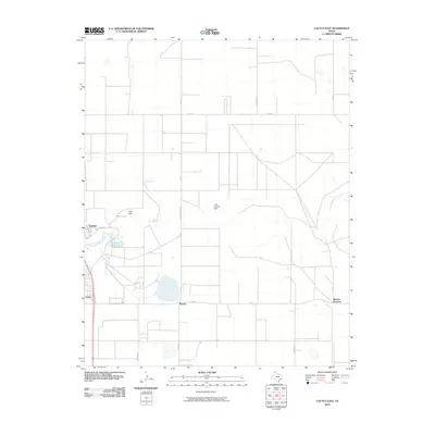 2010 Cactus East2010 Print · USGSThe Texas Panhandle north of Dumas appears as a productive landscape of water management and rail-side settlements in the early 2000s. Researchers can trace the layout of Cactus, the industrial infrastructure at Etter, and rural landmarks like Petty Lake.
 - 2010 Map of Cactus West, 2010 Print
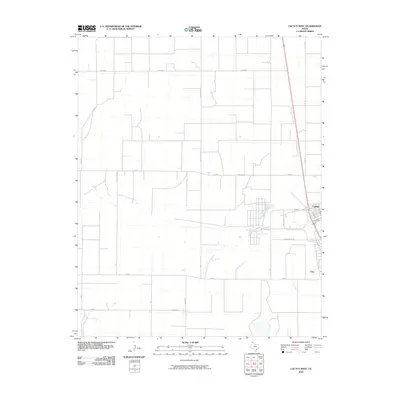 2010 Cactus West2010 Print · USGSMoore County's industrial and agricultural landscape comes into focus during the early twenty-first century. Genealogists and local historians can trace the development of Cactus and Etter alongside the meandering North Palo Duro Creek.
 - 2010 Map of Conlen, 2010 Print
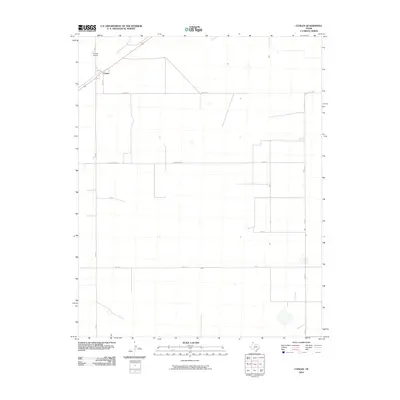 2010 Conlen2010 Print · USGSConlen and the surrounding Dallam County ranchlands are captured here at the start of the 2010s. Genealogists and local historians can trace the grid of rural life along Conlen Ln, Seed Ln, and the aviation footprint of the Conlen Airport.
 - 2010 Map of Exum, 2010 Print
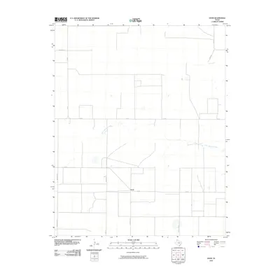 2010 Exum2010 Print · USGSThe rural High Plains landscape near Exum comes into focus in this early 21st-century survey of Hartley County. Genealogists and local historians can trace the paths of agricultural life along North Palo Duro Creek and the named crossroads of Summerour Ln.
 - 2010 Map of Capps Switch NW, 2010 Print
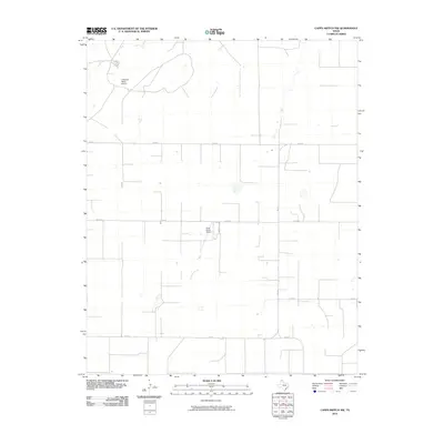 2010 Capps Switch NW2010 Print · USGSSherman County in the early twenty-first century is a landscape of vast ranchlands and high plains aviation. Researchers can trace the layout of regional ranching operations through features like Coldwater Ranch Airport and Cluck Ranch Airport.
 - 2010 Map of Sunray, 2010 Print
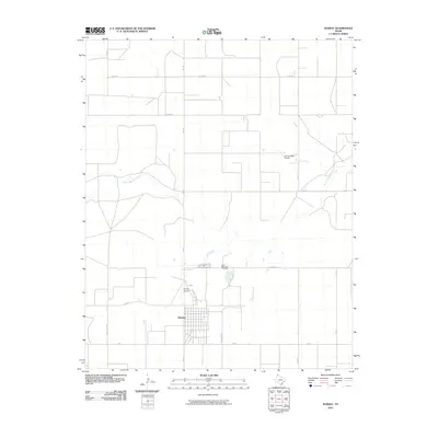 2010 Sunray2010 Print · USGSThe Texas Panhandle town of Sunray is shown at the start of the 2010s, surrounded by the distinctive ranch and farm road networks of Moore County. Genealogists and local historians can locate Lane Memorial Cemetery or trace the drainage of North Palo Duro Creek.
 - 2010 Map of Frisco Creek East, 2010 Print
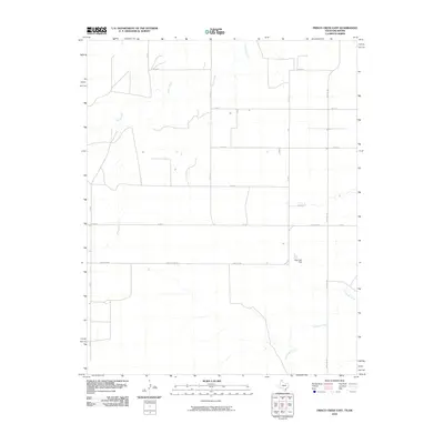 2010 Frisco Creek East2010 Print · USGSTexas County land patterns are etched into the High Plains on this early 21st-century survey. Genealogists and land researchers can trace property boundaries and rural access routes like Farm Rd 1262 or locate the Steji Lake Dam along the local drainages.
 - 2010 Map of Stevens SW, 2010 Print
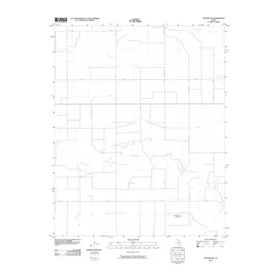 2010 Stevens SW2010 Print · USGSSherman County at the turn of the decade is defined by its vast agricultural grids and essential watercourses. Researchers can trace the intersection of the rigid county road system with Coldwater Creek and find the location of the Frank Brannan Lake Dam.
 - 2010 Map of Coldwater Creek, 2010 Print
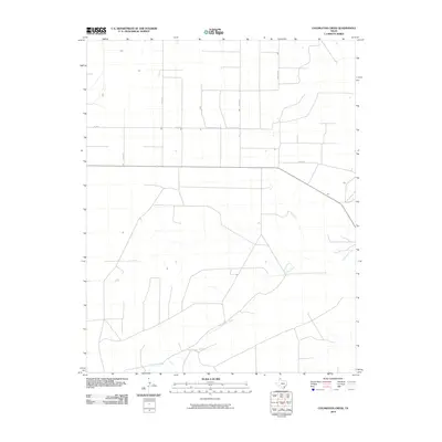 2010 Coldwater Creek2010 Print · USGSSherman County at the turn of the millennium shows a landscape defined by the rhythmic grid of the Texas Panhandle. Genealogists and local historians can trace the paths of Bryson Rd and Co Rd 26 as they cross the winding Coldwater Creek.
 - 2010 Map of West of Gruver, 2010 Print
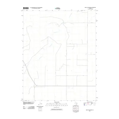 2010 West of Gruver2010 Print · USGSSherman County remains a strictly organized agricultural landscape in the Texas Panhandle during the early 2000s. Researchers can trace the intersection of rural life and land management along Coldwater Creek, Farm Rd 1573, and Co Rd P.
 - 2010 Map of Spurlock Chapel, 2010 Print
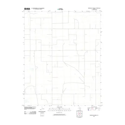 2010 Spurlock Chapel2010 Print · USGSSherman County in the early 2000s remains a landscape of vast agricultural sections and straight-line cattle roads. Researchers can trace land tracts and local infrastructure along Fm 1573 and family-named routes like Hudson Rd or Hudson Boost Rd.
 - 2010 Map of Frisco Creek West, 2010 Print
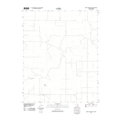 2010 Frisco Creek West2010 Print · USGSTexas County and the Oklahoma borderlands are shown in this 2010 survey, illustrating a landscape shaped by water management and high-plains agriculture. Genealogists and researchers can trace local water sources and homestead access via Frisco Creek, Runyan Lake, and FM 2349.
 - 2010 Map of Stevens SE, 2010 Print
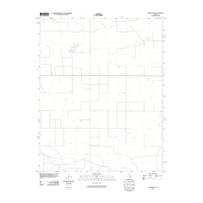 2010 Stevens SE2010 Print · USGSSherman County in the Texas Panhandle at the start of the 21st century shows a vast network of rural roads and prairie waterways. Trace local land use and family connections along Judges Rd, Cluck Rd, and the banks of Coldwater Creek.
 - 2010 Map of Stratford, 2010 Print
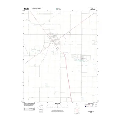 2010 Stratford2010 Print · USGSStratford sits at a critical High Plains crossroads in the early twenty-first century, serving as a hub for the surrounding ranching and farming lands. Researchers can trace the town's development near Stratford Field or locate water features like Stratford Feeders Reservoir and Frisco Creek.
 - 2010 Map of Hannas Draw West, 2010 Print
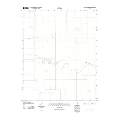 2010 Hannas Draw West2010 Print · USGSThe Texas Panhandle at the start of the 2010s shows a landscape defined by an expansive grid of rural roads and seasonal watercourses. Genealogists and land historians can trace the paths of Hannas Draw and locate properties along Farm Rd 1573 or Co Rd 7.
 - 2010 Map of Capps Switch SE, 2010 Print
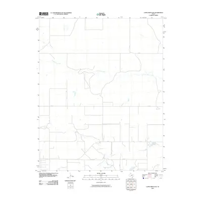 2010 Capps Switch SE2010 Print · USGSThe Texas Panhandle plains are mapped here in the early twenty-first century, showing the intersection of ranch roads and natural drainages. Researchers can trace the path of North Palo Duro Creek or locate rural properties along Fm 281 and Co Rd 7.
 - 2010 Map of Texhoma South, 2010 Print
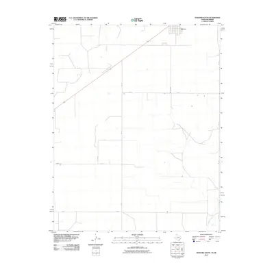 2010 Texhoma South2010 Print · USGSTexhoma and the surrounding Panhandle plains are documented here just after the first decade of the new millennium. Researchers can trace the grid of rural section lines including Myers Rd and Co Rd G or follow the course of Frisco Creek.
 - 2010 Map of Stevens, 2010 Print
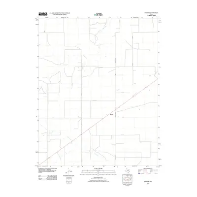 2010 Stevens2010 Print · USGSThe Texas Panhandle in the early 2000s remains a landscape of wide-open cattle country and rural crossroads. Local historians and land researchers can trace the drainages of Beaver River and Frisco Creek near the settlement of Stevens.
 - 2010 Map of Brickel, 2010 Print
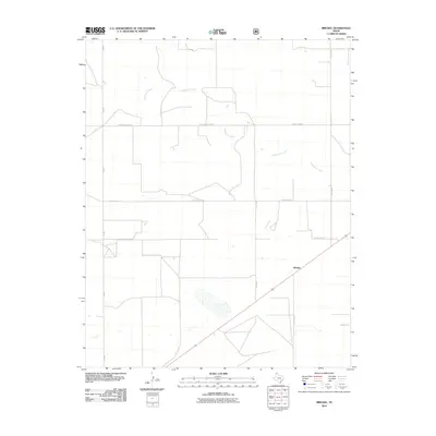 2010 Brickel2010 Print · USGSBrickel and the surrounding Sherman County panhandle are shown here in the early twenty-first century as a landscape of wide agricultural tracts and seasonal watercourses. Genealogists and local historians can trace rural property access via FM-807, Little Rd, and the drainages of Coldwater Creek.
 - 2011 Map of Kerrick, 2011 Print
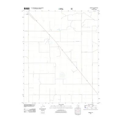 2011 Kerrick2011 Print · USGSDallam County at the start of the 2010s is characterized by its wide-open agricultural grid and the influence of the Beaver River. Genealogists and local historians can trace family land boundaries along Schoonover Ln and the historic route of Santa Fe Trail Dr.
 - 2011 Map of Griggs SW, 2011 Print
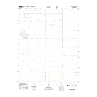 2011 Griggs SW2011 Print · USGSThe Oklahoma panhandle's agricultural grid meets the natural curves of the Beaver River in this early twenty-first-century survey. Trace the intersection of section-line roads like E0300 Rd and N0440 Rd to locate family ranch sites and land plots.
 - 2011 Map of Stratford NE, 2011 Print
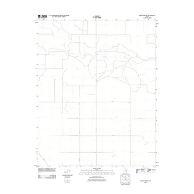 2011 Stratford NE2011 Print · USGSSherman County at the turn of the decade is defined by its vast high-plains agricultural grid and seasonal waterways. Researchers can trace rural infrastructure along Beaver Rd and identify the meandering course of the Beaver River.
Showing maps 1-25 of 140
Top cities of Sherman County
Frequently asked questions
- What are the different types of historical maps available for Sherman County?
- What is the oldest map of Sherman County?
- Where can I purchase historical maps of Sherman County for my home or office?
- Where can I download high-res historical maps of Sherman County?
- Are there historical topographic maps available for Sherman County?
- Is there historical aerial imagery available for Sherman County?
- Where are historical maps of Sherman County sourced from?