2000s (21st Century) Maps of Wichita County, Texas
Explore 94 historic maps of Wichita County from the 2000s (21st Century). These maps offer a rare glimpse into what life looked like during the 2000s — showing old roads, neighborhoods, homes, and landmarks that have changed or disappeared over time.
Whether you're researching your family's past, planning a metal detecting trip, or studying how Wichita County's landscape evolved across the 2000s, these high-resolution maps are a powerful tool for exploring the history of this region.
- Focus on a specific era: All maps on this page are from the 2000s, giving you a focused view of this time period.
- See what’s changed: Compare century-old streets, trails, and buildings to today's modern landscape using overlays and satellite layers.
- Research with precision: Use these maps for genealogy, historical research, land use analysis, or educational projects.
- View, download, or print: Maps are fully viewable online in high resolution, and can be downloaded or printed for your own records.
Start exploring Wichita County's history through authentic maps from the 2000s. This is your window into the past.
Wichita County, TX maps
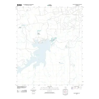
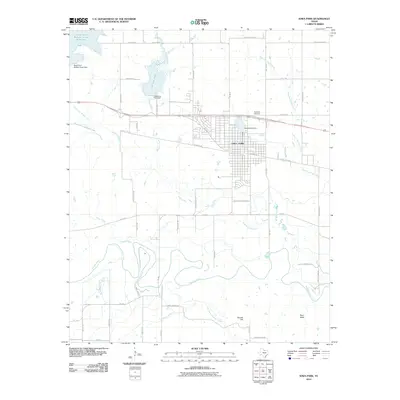
(94)- 2010 Map of Lake Wichita, 2010 Print
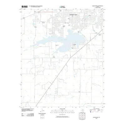 2010 Lake Wichita2010 Print · USGSCovers Wichita County, including Wichita Falls, Lakeside City, and other nearby areas
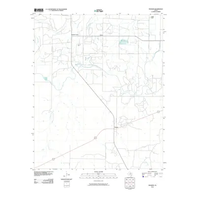
 - 2010 Map of Electra, 2010 Print
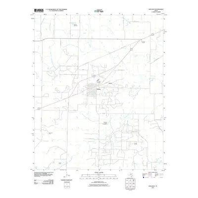
 2010 Electra2010 Print · USGSCovers Wichita County, including Electra, Haynesville, and other nearby areas
 - 2010 Map of Lake Diversion, 2010 Print
 2010 Lake Diversion2010 Print · USGSCovers Wichita County, including Wilbarger County, Baylor County, and other nearby areas
 - 2010 Map of Mankins, 2010 Print
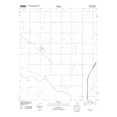
 2010 Mankins2010 Print · USGSCovers Wichita County, including Valley View, Kamay, and other nearby areas
 - 2010 Map of Beaver Creek, 2010 Print
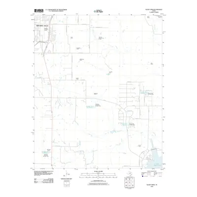
 2010 Beaver Creek2010 Print · USGSCovers Wichita County, including Wilbarger County, United States, and other nearby areas
 - 2010 Map of Fowlkes, 2010 Print
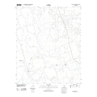
 2010 Fowlkes2010 Print · USGSCovers Wichita County, including Fowlkes, United States, and other nearby areas
 - 2010 Map of Cowboy Springs, 2010 Print
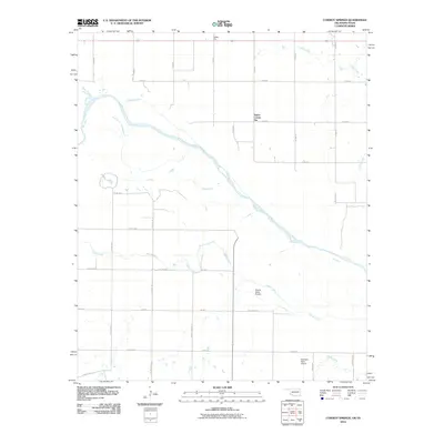 2010 Cowboy Springs2010 Print · USGSCovers Wichita County, including Taylor Corner Gin, Tillman County, and other nearby areas
 - 2010 Map of Grandfield, 2010 Print
 2010 Grandfield2010 Print · USGSCovers Wichita County, including Grandfield, Tillman County, and other nearby areas
 - 2010 Map of Burkburnett, 2010 Print
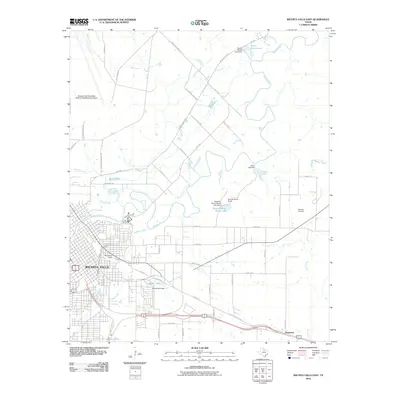
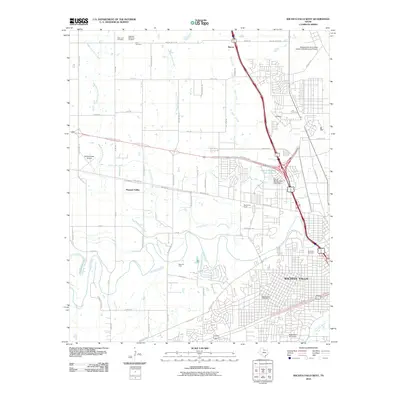
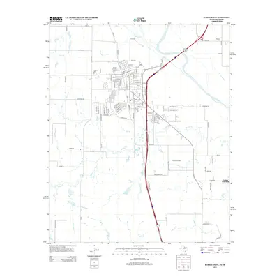
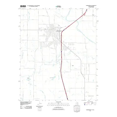 2010 Burkburnett2010 Print · USGSCovers Wichita County, including Burkburnett, Cashion Community, and other nearby areas
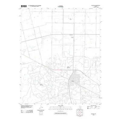
 - 2010 Map of Thornberry, 2010 Print
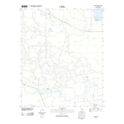
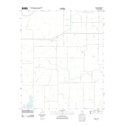
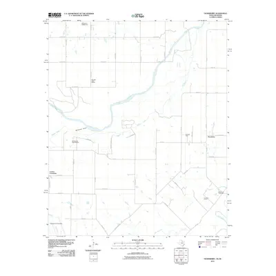 2010 Thornberry2010 Print · USGSCovers Wichita County, including Cashion Community, Thornberry, and other nearby areas
 - 2010 Map of Wichita Falls East, 2010 Print
 2010 Wichita Falls East2010 Print · USGSCovers Wichita County, including Wichita Falls, Dean, and other nearby areas
 - 2010 Map of Iowa Park, 2010 Print
 2010 Iowa Park2010 Print · USGSCovers Wichita County, including Iowa Park, United States, and other nearby areas
 - 2010 Map of Devol, 2010 Print
 2010 Devol2010 Print · USGSCovers Wichita County, including Devol, Thrift, and other nearby areas
 - 2010 Map of Wichita Falls West, 2010 Print
 2010 Wichita Falls West2010 Print · USGSCovers Wichita County, including Wichita Falls, Pleasant Valley, and other nearby areas
 - 2010 Map of Holliday, 2010 Print
 2010 Holliday2010 Print · USGSCovers Wichita County, including Holliday, Hartex, and other nearby areas
 - 2010 Map of Sloop Creek, 2010 Print
 2010 Sloop Creek2010 Print · USGSCovers Wichita County, including Wichita Falls, Clay County, and other nearby areas
 - 2011 Map of Clara, 2011 Print
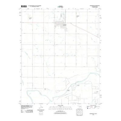
 2011 Clara2011 Print · USGSCovers Wichita County, including Clara, Tillman County, and other nearby areas
 - 2011 Map of Sunshine Hill, 2011 Print
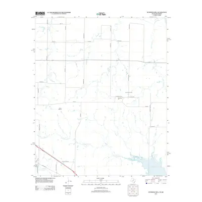
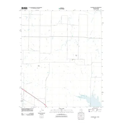 2011 Sunshine Hill2011 Print · USGSCovers Wichita County, including Tillman County, United States, and other nearby areas
 - 2012 Map of Augar Creek, 2012 Print
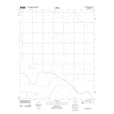 2012 Augar Creek2012 Print · USGSCovers Wichita County, including Tillman County, United States, and other nearby areas2 unique versions available
 - 2012 Map of Electra, 2012 Print
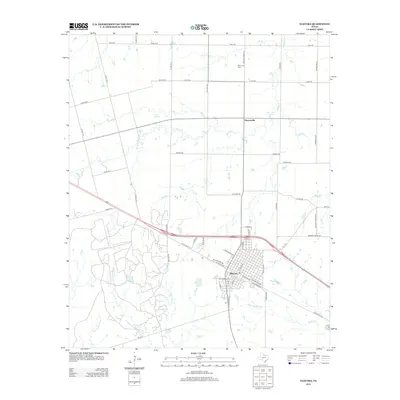 2012 Electra2012 Print · USGSCovers Wichita County, including Electra, Haynesville, and other nearby areas
 - 2012 Map of Burkburnett, 2012 Print
 2012 Burkburnett2012 Print · USGSCovers Wichita County, including Burkburnett, Cashion Community, and other nearby areas
 - 2012 Map of Sunshine Hill, 2012 Print
 2012 Sunshine Hill2012 Print · USGSCovers Wichita County, including Tillman County, United States, and other nearby areas
 - 2012 Map of Clara, 2012 Print
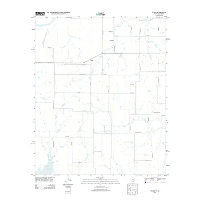 2012 Clara2012 Print · USGSCovers Wichita County, including Clara, Tillman County, and other nearby areas
 - 2012 Map of Thornberry, 2012 Print
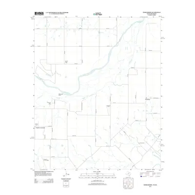 2012 Thornberry2012 Print · USGSCovers Wichita County, including Cashion Community, Thornberry, and other nearby areas
 - 2012 Map of Devol, 2012 Print
 2012 Devol2012 Print · USGSCovers Wichita County, including Devol, Thrift, and other nearby areas
Showing maps 1-25 of 94
Top cities of Wichita County
- Wichita Falls historical maps
- Burkburnett historical maps
- Iowa Park historical maps
- Electra historical maps
- Pleasant Valley historical maps
- Cashion Community historical maps
Frequently asked questions
- What are the different types of historical maps available for Wichita County?
- What is the oldest map of Wichita County?
- Where can I purchase historical maps of Wichita County for my home or office?
- Where can I download high-res historical maps of Wichita County?
- Are there historical topographic maps available for Wichita County?
- Is there historical aerial imagery available for Wichita County?
- Where are historical maps of Wichita County sourced from?