2010s Maps of Wilbarger County, Texas
Explore 99 historic maps of Wilbarger County from the 2010s. These maps offer a rare glimpse into what life looked like during the 2010s — showing old roads, neighborhoods, homes, and landmarks that have changed or disappeared over time.
Whether you're researching your family's past, planning a metal detecting trip, or studying how Wilbarger County's landscape evolved across the 2010s, these high-resolution maps are a powerful tool for exploring the history of this region.
- Focus on a specific era: All maps on this page are from the 2010s, giving you a focused view of this time period.
- See what’s changed: Compare century-old streets, trails, and buildings to today's modern landscape using overlays and satellite layers.
- Research with precision: Use these maps for genealogy, historical research, land use analysis, or educational projects.
- View, download, or print: Maps are fully viewable online in high resolution, and can be downloaded or printed for your own records.
Start exploring Wilbarger County's history through authentic maps from the 2010s. This is your window into the past.
Wilbarger County, TX maps
(99)- 2010 Map of Rayland, 2010 Print
 2010 Rayland2010 Print · USGSWilbarger County, Texas, remains a quiet agricultural landscape defined by the winding Pease River at the start of the 21st century. Genealogists and local historians can trace the rural communities of Rayland, Parsley Hill, and Lockett along an extensive network of farm-to-market roads.
 - 2010 Map of Lockett, 2010 Print
 2010 Lockett2010 Print · USGSWilbarger County is captured in this 2010 survey as a landscape of structured farm roads and riparian corridors. Local historians can trace the development of Lockett and the expansive Santa Rosa Roundup Rodeo Grounds alongside the waters of Paradise Creek.
 - 2010 Map of Franklin Bend, 2010 Print
 2010 Franklin Bend2010 Print · USGSThe Wichita River basin in Wilbarger County remains a center of Texas ranching history in the early 2000s. Researchers can locate remote outposts like La Paloma Cow Camp or trace the water lines of Lake Diversion and the Wichita River.
 - 2010 Map of Northside, 2010 Print
 2010 Northside2010 Print · USGSWilbarger County at the turn of the decade reveals a landscape where ranching roads meet the petroleum industry. Researchers can trace family history at Bell Cemetery or locate old community centers like White City, Fargo, and the Fargo Oil Field.
 - 2010 Map of Vernon, 2010 Print
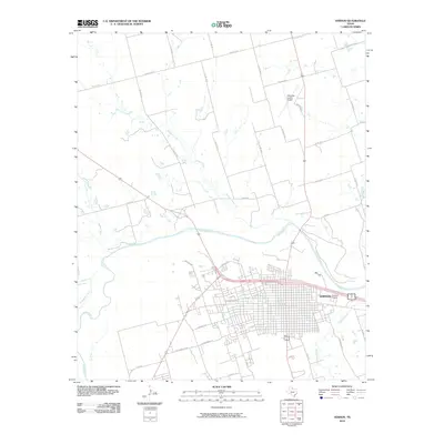 2010 Vernon2010 Print · USGSVernon and its surrounding Wilbarger County landscape are shown here as they appeared in 2010, centered on the intersection of the river and regional road networks. Researchers can trace the local infrastructure from the Pease River to the Wilbarger County Airport and the streets of Vernon.
 - 2010 Map of Harrold, 2010 Print
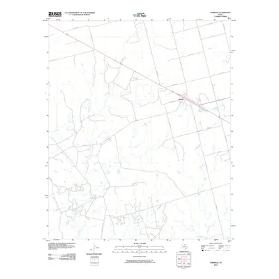 2010 Harrold2010 Print · USGSWilbarger County at the dawn of the millennium shows a landscape shaped by ranching and rural transit. Researchers can trace local landmarks like Harrold, the waters of Lake Electra, and ranch-related routes like Hereford Pens Rd.
 - 2010 Map of Santa Rosa Lake SW, 2010 Print
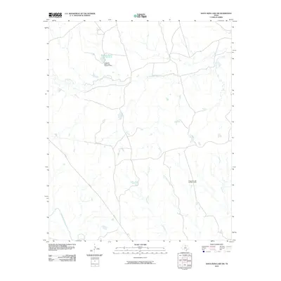 2010 Santa Rosa Lake SW2010 Print · USGSKnox County ranch lands are documented here during the early twenty-first century, showing a landscape defined by water management and large estates. Researchers can locate Waggoner Ranch Lake Number 8 and trace the paths of South Beaver Creek and the North Wichita River.
 - 2010 Map of Electra, 2010 Print
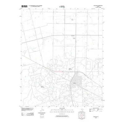 2010 Electra2010 Print · USGSElectra and its surrounding ranchlands are shown in great detail during the early twenty-first century. Genealogists and researchers can trace the locations of Mount Carmel Cemetery, the settlement of Haynesville, and significant local infrastructure like the Old Electra City Dam.
 - 2010 Map of Santa Rosa Lake NW, 2010 Print
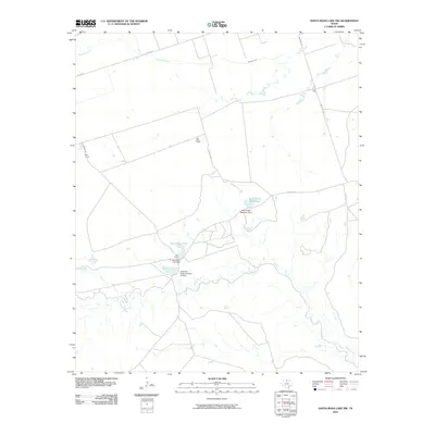 2010 Santa Rosa Lake NW2010 Print · USGSWilbarger County, Texas, was characterized by its cattle-ranching camps and water management systems at the start of the 21st century. Genealogists and historians can trace the locations of Slay Camp, Hart Camp, and infrastructure like the Bitch Creek Reservoir.
 - 2010 Map of Boggy Creek, 2010 Print
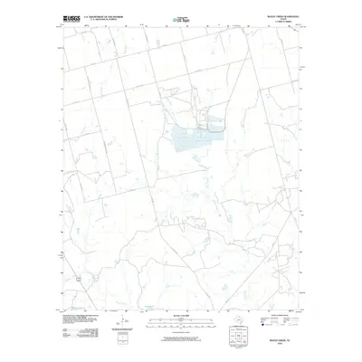 2010 Boggy Creek2010 Print · USGSWilbarger County, Texas, is captured here in the early twenty-first century, showing the enduring ranching and industrial layout of the region. Researchers can trace land management through water features like Stone Tank and the path of Carpenter-Duffie Rd.
 - 2010 Map of Northeast Lake Kemp, 2010 Print
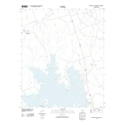 2010 Northeast Lake Kemp2010 Print · USGSWilbarger County ranching and water management are front and center in this 2010 survey of the North Texas plains. Researchers can trace local landmarks like Coffee Creek Cow Camp or explore the rugged shores of Lake Kemp and its many inlets.
 - 2010 Map of Lake Diversion, 2010 Print
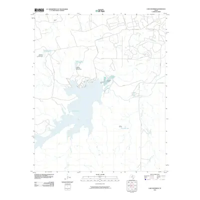 2010 Lake Diversion2010 Print · USGSNorth Texas ranching and resource extraction are on full display here in the early twenty-first century. Researchers can trace the water systems of Lake Diversion and the Dundee Fish Hatchery alongside active drilling sites at the Potts Oil Field.
 - 2010 Map of Northwest Lake Kemp, 2010 Print
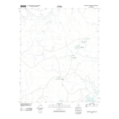 2010 Northwest Lake Kemp2010 Print · USGSThis Wilbarger County landscape highlights the ranching and water infrastructure of North Texas just after the first decade of the millennium. Researchers can trace the drainage of Beaver Creek and locate landmarks like the Indian Creek Pens and Lake Kemp.
 - 2010 Map of Tolbert, 2010 Print
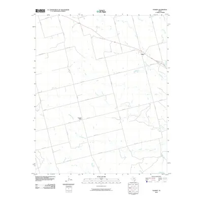 2010 Tolbert2010 Print · USGSFarmers Valley and the surrounding ranchlands are captured here in the early 2000s, showing the intersection of local roads and natural drainages. Genealogists and historians can trace the paths of Elizabeth Creek through Farmers Valley or locate the settlement of Tolbert.
 - 2010 Map of Beaver Creek, 2010 Print
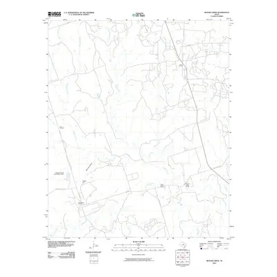 2010 Beaver Creek2010 Print · USGSNorth Texas ranchlands and petroleum history intersect here during the first decade of the millennium. Researchers can trace the layout of the Electra Oil Field, locate the Ronda Cemetery, and follow the path of Beaver Creek past Potato Hill.
 - 2010 Map of Grayback, 2010 Print
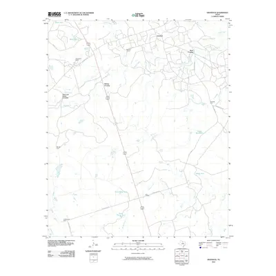 2010 Grayback2010 Print · USGSWilbarger County ranching and rural life are preserved in this early twenty-first-century survey of the north Texas plains. Researchers can locate family landmarks like Mack Cemetery and livestock centers such as Zacaweista Ranch or Alamosa Camp.
 - 2010 Map of Odell, 2010 Print
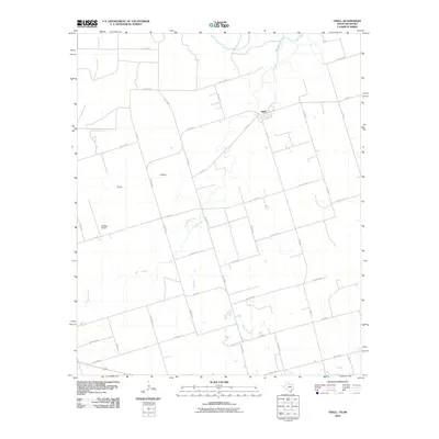 2010 Odell2010 Print · USGSWilbarger County at the turn of the twenty-first century reveals a landscape shaped by the Red River and rural ranching. Genealogists and local historians can trace family land ties near Odell, Moffett Ranch, and the winding banks of Wanderers Creek.
 - 2010 Map of Cowboy Springs, 2010 Print
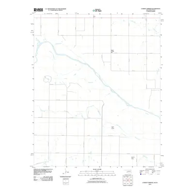 2010 Cowboy Springs2010 Print · USGSThe Oklahoma-Texas borderlands are defined by the winding path of the Red River in the early 21st century. Researchers can trace rural infrastructure and agricultural landmarks such as Taylor Corner Gin, Valley Gin, and the McAlister Farm Airport.
 - 2010 Map of Elmer, 2010 Print
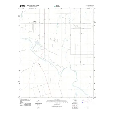 2010 Elmer2010 Print · USGSJackson County and the Texas borderlands meet at the confluence of the Salt Fork Red River and Red River in the early twenty-first century. Genealogists and local historians can trace the rural layouts of Elmer, Hess, and the geographic landmark at Red Hollow.
 - 2010 Map of Oklaunion, 2010 Print
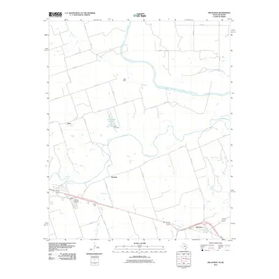 2010 Oklaunion2010 Print · USGSWilbarger County is documented in the early twenty-first century as a landscape defined by the winding Red River and Pease River. Researchers can locate family sites near Oklaunion, trace landmarks like Sharp Gin, or visit the Eastview Memorial Cemetery.
 - 2010 Map of Frederick SW, 2010 Print
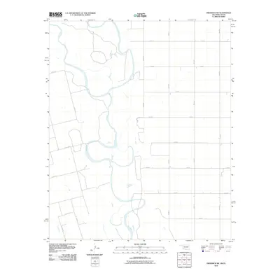 2010 Frederick SW2010 Print · USGSThe Red River borderlands of Jackson County come into focus during the early twenty-first century, showing the river's winding path between Oklahoma and Texas. Trace the hydrological junction of the North Fork Red River and the main Red River channel alongside rural routes like Co Rd 111 N.
 - 2010 Map of Ayers Island, 2010 Print
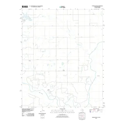 2010 Ayers Island2010 Print · USGSThe Oklahoma-Texas borderlands near the Red River are documented in this 2010 survey of Jackson County. Local researchers can trace family landmarks like Carmel Cemetery and Boggy Cemetery, or locate the Crata Mine and the waters of Mitchell Lake.
 - 2010 Map of Lake Electra, 2010 Print
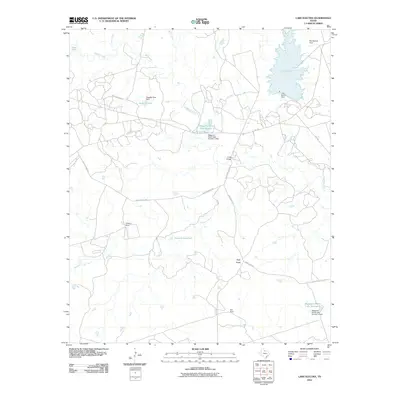 2010 Lake Electra2010 Print · USGSWilbarger County ranchlands are documented here at the turn of the millennium, showing a landscape defined by livestock operations and water management. Local historians can trace the geography of the Waggoner Ranch through Waggoner Ranch Lake Number 2 and ranching sites like Thaxton Pens or Kite Pens.
 - 2011 Map of Santa Rosa Lake, 2011 Print
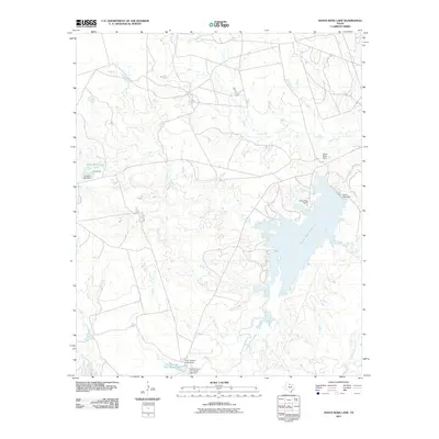 2011 Santa Rosa Lake2011 Print · USGSWilbarger County ranching and water management are at the forefront of this early twenty-first-century survey. Researchers can trace cattle-country landmarks like Santa Rosa Ranch, the remote D's Camp, and the waters of Santa Rosa Lake.
 - 2012 Map of Davidson, 2012 Print
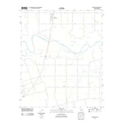 2012 Davidson2012 Print · USGSThe Oklahoma-Texas borderlands are captured here in the early twenty-first century as the Red River carves through Tillman County. Local historians can trace the rural layouts of Davidson and Elliott alongside watercourses like Pease River and Adams Creek.2 unique versions available
Showing maps 1-25 of 99
Top cities of Wilbarger County
Frequently asked questions
- What are the different types of historical maps available for Wilbarger County?
- What is the oldest map of Wilbarger County?
- Where can I purchase historical maps of Wilbarger County for my home or office?
- Where can I download high-res historical maps of Wilbarger County?
- Are there historical topographic maps available for Wilbarger County?
- Is there historical aerial imagery available for Wilbarger County?
- Where are historical maps of Wilbarger County sourced from?