2000s (21st Century) Maps of Wood County, Texas
Explore 100 historic maps of Wood County from the 2000s (21st Century). These maps offer a rare glimpse into what life looked like during the 2000s — showing old roads, neighborhoods, homes, and landmarks that have changed or disappeared over time.
Whether you're researching your family's past, planning a metal detecting trip, or studying how Wood County's landscape evolved across the 2000s, these high-resolution maps are a powerful tool for exploring the history of this region.
- Focus on a specific era: All maps on this page are from the 2000s, giving you a focused view of this time period.
- See what’s changed: Compare century-old streets, trails, and buildings to today's modern landscape using overlays and satellite layers.
- Research with precision: Use these maps for genealogy, historical research, land use analysis, or educational projects.
- View, download, or print: Maps are fully viewable online in high resolution, and can be downloaded or printed for your own records.
Start exploring Wood County's history through authentic maps from the 2000s. This is your window into the past.
Wood County, TX maps
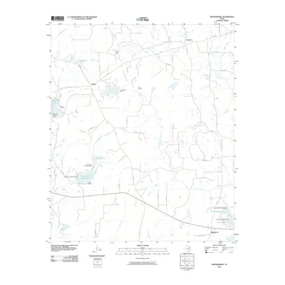
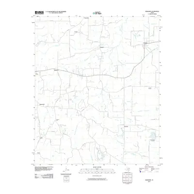
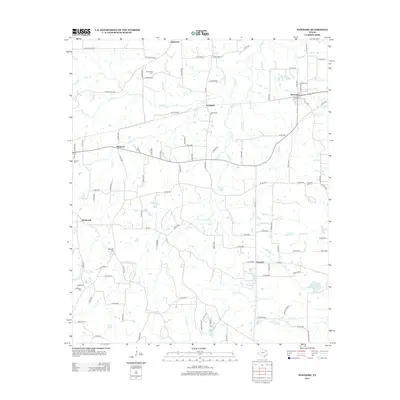
(100)- 2010 Map of Cartwright, 2010 Print
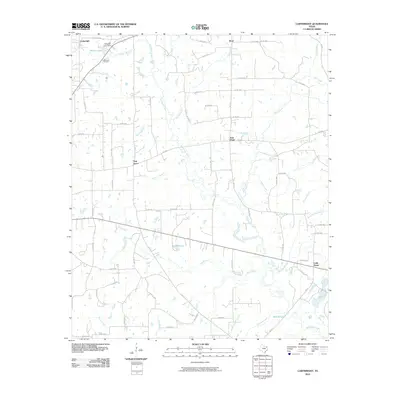 2010 Cartwright2010 Print · USGSCovers Wood County, including Cartwright, Stout, and other nearby areas
 - 2010 Map of Crow, 2010 Print
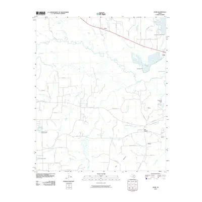 2010 Crow2010 Print · USGSCovers Wood County, including Angler, Crow, and other nearby areas
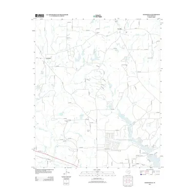
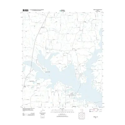
 - 2010 Map of Mineola, 2010 Print
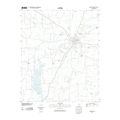
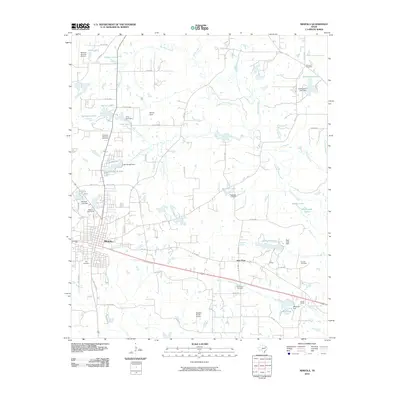 2010 Mineola2010 Print · USGSCovers Wood County, including Mineola, Concord, and other nearby areas
 - 2010 Map of Hawkins, 2010 Print
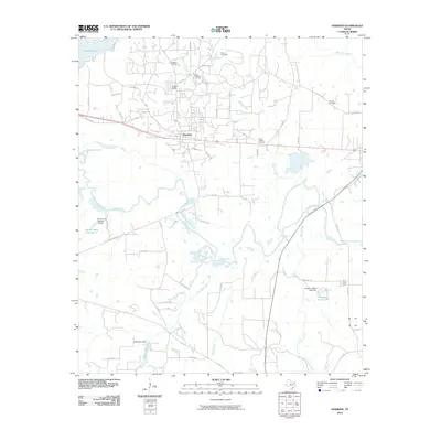 2010 Hawkins2010 Print · USGSCovers Wood County, including Big Sandy, Hawkins, and other nearby areas
 - 2010 Map of Winnsboro, 2010 Print
 2010 Winnsboro2010 Print · USGSCovers Wood County, including Winnsboro, Rock Springs, and other nearby areas
 - 2010 Map of Shady Grove, 2010 Print
 2010 Shady Grove2010 Print · USGSCovers Wood County, including Holly Lake Ranch, Shady Grove, and other nearby areas
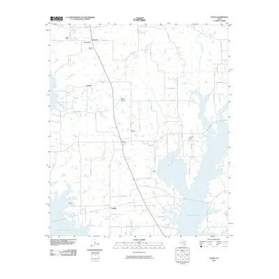
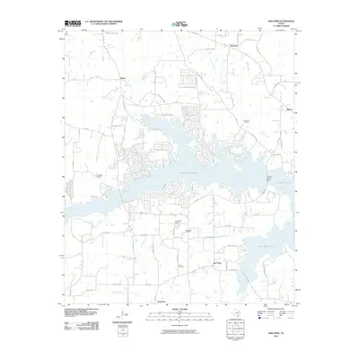
 - 2010 Map of Van Lake, 2010 Print
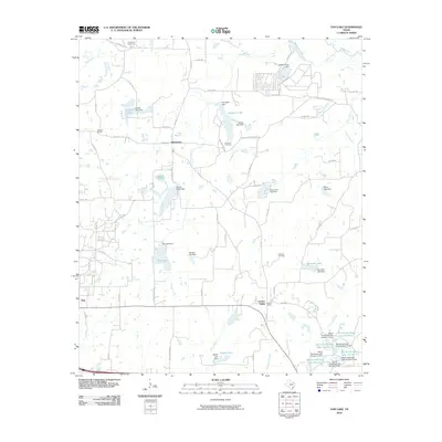 2010 Van Lake2010 Print · USGSCovers Wood County, including Van, Garden Valley, and other nearby areas
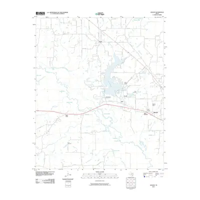
 - 2010 Map of Grand Saline, 2010 Print
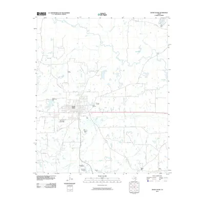 2010 Grand Saline2010 Print · USGSCovers Wood County, including Grand Saline, Sand Flat, and other nearby areas
 - 2010 Map of Rhonesboro, 2010 Print
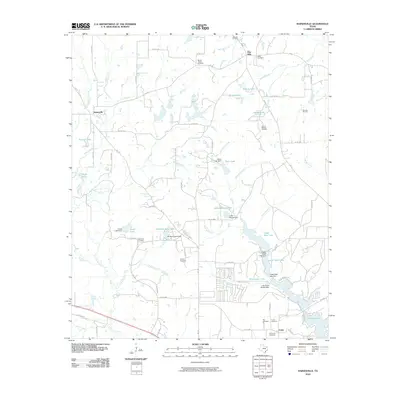
 2010 Rhonesboro2010 Print · USGSCovers Wood County, including Ogburn, Perryville, and other nearby areas
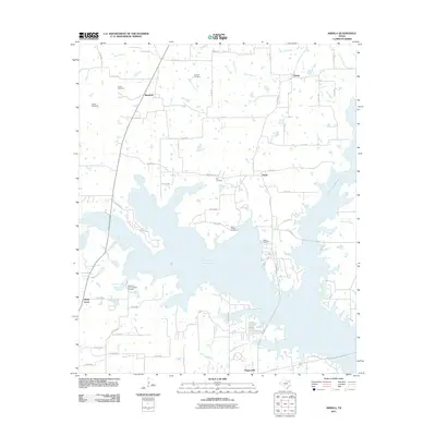
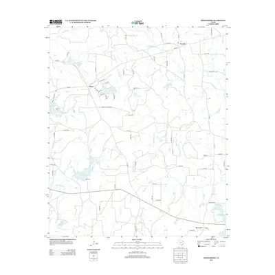
 - 2010 Map of Hainesville, 2010 Print
 2010 Hainesville2010 Print · USGSCovers Wood County, including Macedonia, Fouke, and other nearby areas
 - 2010 Map of Yantis, 2010 Print
 2010 Yantis2010 Print · USGSCovers Wood County, including Yantis, Grubbe, and other nearby areas
 - 2010 Map of Golden, 2010 Print
 2010 Golden2010 Print · USGSCovers Wood County, including Mineola, West Mineola, and other nearby areas
 - 2010 Map of Pleasant Grove, 2010 Print
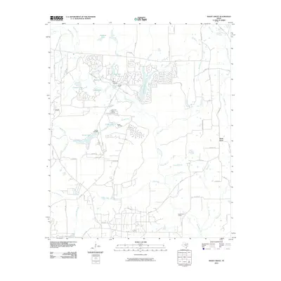
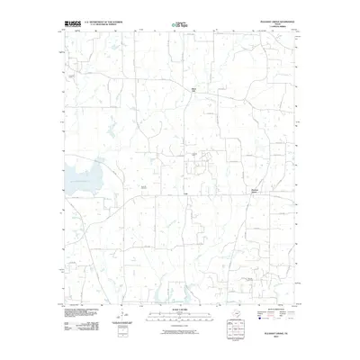 2010 Pleasant Grove2010 Print · USGSCovers Wood County, including Pleasant Grove, Coke, and other nearby areas
 - 2010 Map of Lindale, 2010 Print
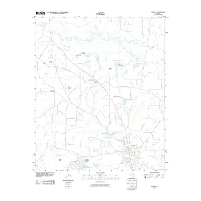 2010 Lindale2010 Print · USGSCovers Wood County, including Lindale, Mineola, and other nearby areas
 - 2010 Map of New Hope, 2010 Print
 2010 New Hope2010 Print · USGSCovers Wood County, including Hopewell, Macon, and other nearby areas
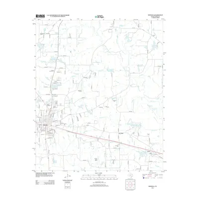
 - 2010 Map of Quitman, 2010 Print
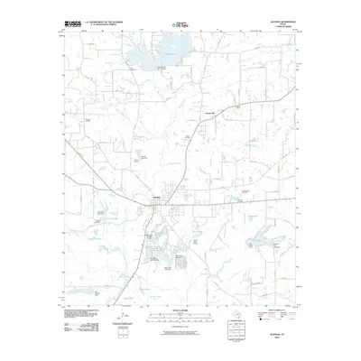 2010 Quitman2010 Print · USGSCovers Wood County, including Quitman, Cloverhill, and other nearby areas
 - 2010 Map of Newsome, 2010 Print
 2010 Newsome2010 Print · USGSCovers Wood County, including Pineview, Westbrook, and other nearby areas
 - 2011 Map of Alba, 2011 Print
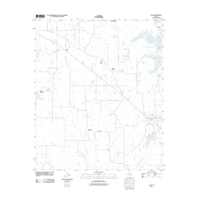 2011 Alba2011 Print · USGSCovers Wood County, including Emory, Alba, and other nearby areas
 - 2011 Map of Arbala, 2011 Print
 2011 Arbala2011 Print · USGSCovers Wood County, including Poole, Shady Grove, and other nearby areas
 - 2011 Map of Calvary, 2011 Print
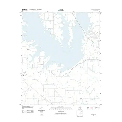 2011 Calvary2011 Print · USGSCovers Wood County, including Alba, Salem, and other nearby areas
 - 2012 Map of Newsome, 2012 Print
 2012 Newsome2012 Print · USGSCovers Wood County, including Pineview, Westbrook, and other nearby areas
 - 2012 Map of Hainesville, 2012 Print
 2012 Hainesville2012 Print · USGSCovers Wood County, including Macedonia, Fouke, and other nearby areas
 - 2012 Map of Rhonesboro, 2012 Print
 2012 Rhonesboro2012 Print · USGSCovers Wood County, including Ogburn, Perryville, and other nearby areas
 - 2012 Map of Mineola, 2012 Print
 2012 Mineola2012 Print · USGSCovers Wood County, including Mineola, Concord, and other nearby areas
 - 2012 Map of Arbala, 2012 Print
 2012 Arbala2012 Print · USGSCovers Wood County, including Poole, Shady Grove, and other nearby areas
Showing maps 1-25 of 100
Top cities of Wood County
- Mineola historical maps
- Holly Lake Ranch historical maps
- Quitman historical maps
- Hawkins historical maps
- Alba historical maps
- Yantis historical maps
Frequently asked questions
- What are the different types of historical maps available for Wood County?
- What is the oldest map of Wood County?
- Where can I purchase historical maps of Wood County for my home or office?
- Where can I download high-res historical maps of Wood County?
- Are there historical topographic maps available for Wood County?
- Is there historical aerial imagery available for Wood County?
- Where are historical maps of Wood County sourced from?