2010s Maps of Wood County, Texas
Explore 80 historic maps of Wood County from the 2010s. These maps offer a rare glimpse into what life looked like during the 2010s — showing old roads, neighborhoods, homes, and landmarks that have changed or disappeared over time.
Whether you're researching your family's past, planning a metal detecting trip, or studying how Wood County's landscape evolved across the 2010s, these high-resolution maps are a powerful tool for exploring the history of this region.
- Focus on a specific era: All maps on this page are from the 2010s, giving you a focused view of this time period.
- See what’s changed: Compare century-old streets, trails, and buildings to today's modern landscape using overlays and satellite layers.
- Research with precision: Use these maps for genealogy, historical research, land use analysis, or educational projects.
- View, download, or print: Maps are fully viewable online in high resolution, and can be downloaded or printed for your own records.
Start exploring Wood County's history through authentic maps from the 2010s. This is your window into the past.
Wood County, TX maps
(80)- 2010 Map of Cartwright, 2010 Print
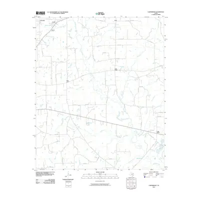 2010 Cartwright2010 Print · USGSWood County at the turn of the decade remains a landscape of quiet crossroads and winding creek bottoms. Genealogists and local researchers can trace the rural layout of Cartwright, Stout, and Oak Grove or locate landmarks like the Way Lake Oil Field.
 - 2010 Map of Crow, 2010 Print
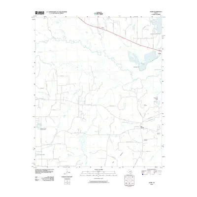 2010 Crow2010 Print · USGSWood County at the turn of the decade is defined by the legacy of the Red Springs Oil Field and the meandering Sabine River. Researchers can trace old family sites at White Cemetery or follow the historic route of the Old Dallas-Shreveport Rd.
 - 2010 Map of Mineola, 2010 Print
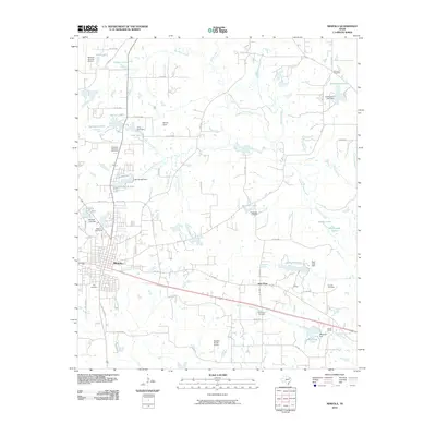 2010 Mineola2010 Print · USGSMineola and the surrounding Wood County countryside are captured here in the early twenty-first century, showing a landscape defined by ranching and numerous small lakes. Researchers can locate family sites near New Hope Cemetery, Rockfield Cemetery, or the rural J C Ranch.
 - 2010 Map of Hawkins, 2010 Print
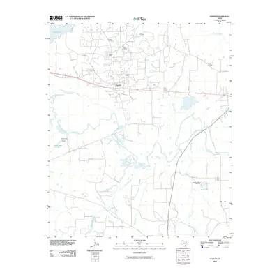 2010 Hawkins2010 Print · USGSHawkins and its surrounding oil fields are captured here in the early twenty-first century as the landscape balances industry and rural tradition. Researchers can trace family sites at Haney Cemetery or explore the water-rich bottomlands near the Sabine River and Pinehurst Farm.
 - 2010 Map of Winnsboro, 2010 Print
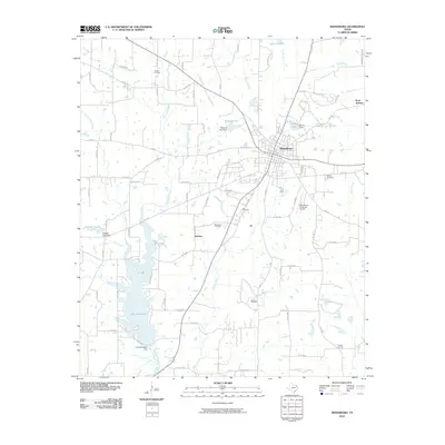 2010 Winnsboro2010 Print · USGSThe East Texas town of Winnsboro is shown here in the early twenty-first century, surrounded by a landscape of energy production and managed water. Researchers can trace the footprints of the Winnsboro Oil Field, Lee Cemetery, and the shores of Lake Winnsboro.
 - 2010 Map of Shady Grove, 2010 Print
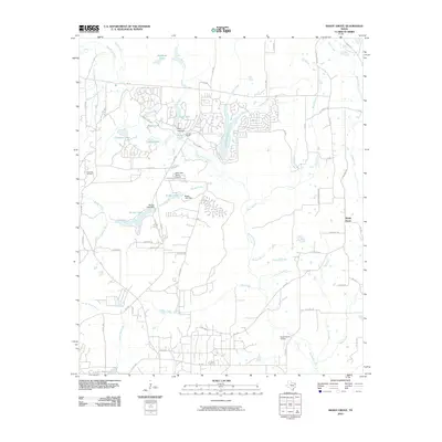 2010 Shady Grove2010 Print · USGSHolly Lake Ranch and the surrounding Wood County countryside are captured here in a decade of suburban development and rural industry. Researchers can trace the layout of Holly Lake Ranch, locate the Pine Mills Oil Field, and find family landmarks like Clonts Ranch.
 - 2010 Map of Van Lake, 2010 Print
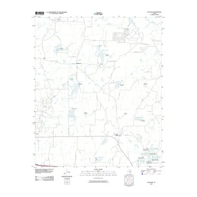 2010 Van Lake2010 Print · USGSVan Zandt County at the turn of the millennium shows a landscape defined by small rural hubs and an intricate network of private lakes. Researchers can trace family roots at Dickerson Cemetery or locate the historic settlements of Jamestown and Garden Valley.
 - 2010 Map of Grand Saline, 2010 Print
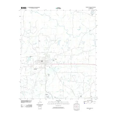 2010 Grand Saline2010 Print · USGSGrand Saline and the surrounding Van Zandt County countryside are captured here as the region's salt industry and river geography continued to evolve. Researchers can locate the sprawling Morton Mine, several family burial grounds like Padgett Cemetery, and old river landmarks such as Collins Ferry.
 - 2010 Map of Rhonesboro, 2010 Print
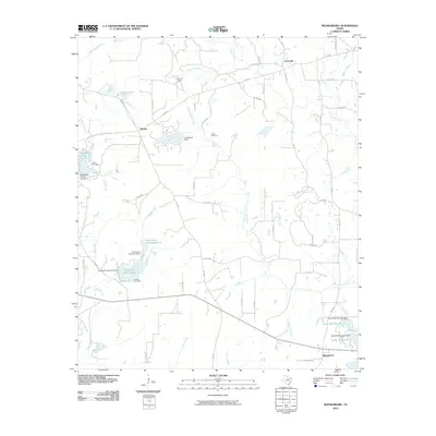 2010 Rhonesboro2010 Print · USGSWood County’s timberlands and rural junctions are captured here in the early twenty-first century. Researchers can trace family sites at Smith Cemetery and Robert Cemetery or locate the quiet crossroads of Ogburn and Perryville.
 - 2010 Map of Hainesville, 2010 Print
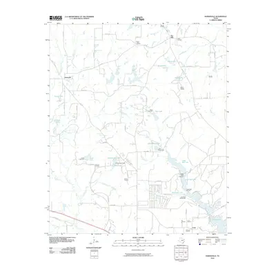 2010 Hainesville2010 Print · USGSWood County at the turn of the decade is a mosaic of small communities and energy extraction sites. Family historians can trace ancestral roots through numerous local burial grounds like Mansell Cemetery, Gentry Cemetery, and Ray Cemetery.
 - 2010 Map of Yantis, 2010 Print
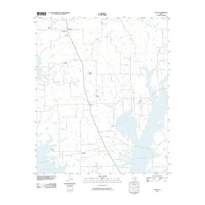 2010 Yantis2010 Print · USGSYantis and the surrounding Wood County countryside are documented here as the reservoir system and energy industry reshaped the local landscape. Genealogists can locate several burial grounds including Holland Cemetery and Seymore Cemetery, or trace the rural corners of Gamblin and Grubbe.
 - 2010 Map of Golden, 2010 Print
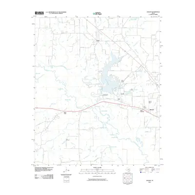 2010 Golden2010 Print · USGSWood County in the first decade of the 2000s shows a complex landscape of Sabine River bottomlands and developed reservoirs. Researchers can locate the Green and Ford Cemetery, the Nolan-Edwards Oil Field, and the historic airfield at Mineola Wisener Field.
 - 2010 Map of Pleasant Grove, 2010 Print
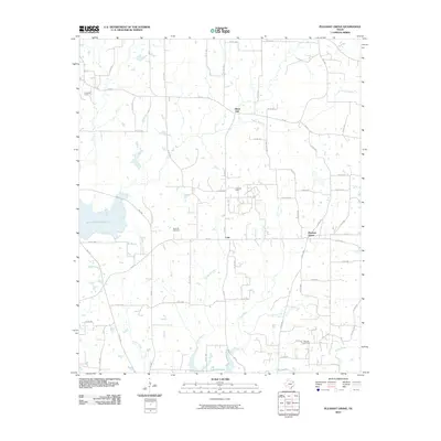 2010 Pleasant Grove2010 Print · USGSWood County at the turn of the decade is defined by a blend of petroleum extraction and large-scale water reservoirs. Researchers can locate the Como Oil Field and Manziel Oil Field or find family sites near Rock Hill Cemetery.
 - 2010 Map of Lindale, 2010 Print
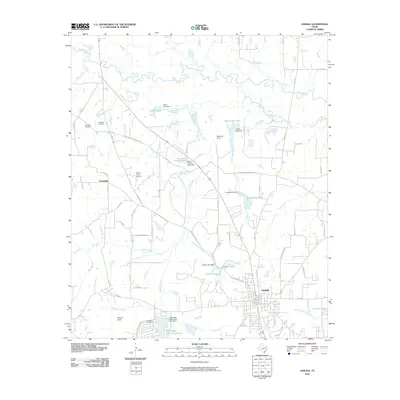 2010 Lindale2010 Print · USGSLindale and the surrounding Smith County countryside are shown here in the early twenty-first century as the area continued to develop around its historical road network. Genealogists and local historians can locate Flewellen Cemetery, Hubbard Cemetery, and the community of Friendship.
 - 2010 Map of New Hope, 2010 Print
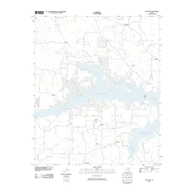 2010 New Hope2010 Print · USGSFranklin County's landscape is defined by the intersection of water and oil during the early twenty-first century. Genealogists and local historians can trace family burial sites at Bethel Cemetery or locate industrial landmarks like the New Hope Oil Field.
 - 2010 Map of Quitman, 2010 Print
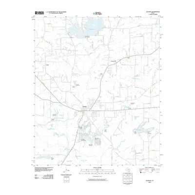 2010 Quitman2010 Print · USGSThe Wood County seat of Quitman is captured here during a period of established oil production and extensive reservoir development. Genealogists and local historians can locate several important burial sites including Price Cemetery and Ingram Cemetery, or trace the extensive boundaries of the Quitman Oil Field.
 - 2010 Map of Newsome, 2010 Print
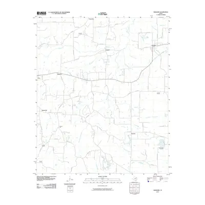 2010 Newsome2010 Print · USGSThis rural portion of Wood County was documented in the early twenty-first century as a landscape of small crossroads and creek branches. Genealogists can locate several remote burial sites like Coldwater Cemetery and Willard Cemetery near the community of Musgrove.
 - 2011 Map of Alba, 2011 Print
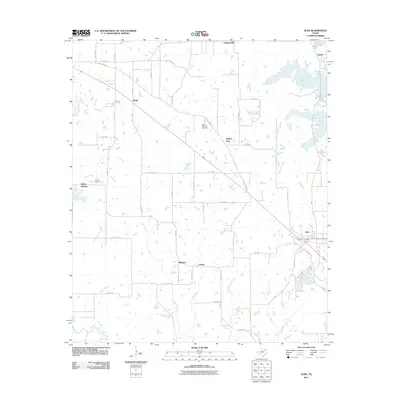 2011 Alba2011 Print · USGSThe community of Alba and the surrounding rural Rains County landscape are shown here during the early twenty-first century. Genealogists and local historians can locate several family-named landmarks including Magee - McCord Cemetery, Ginger, and Willow Springs.
 - 2011 Map of Arbala, 2011 Print
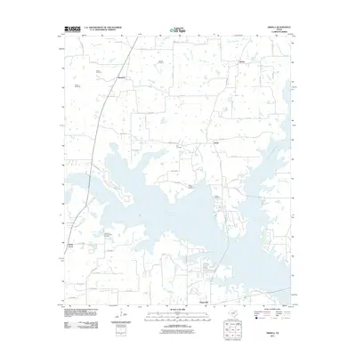 2011 Arbala2011 Print · USGSThe rural communities of Hopkins and Rains counties are shown during the early twenty-first century, centered around the massive Lake Fork Reservoir. Genealogists and local historians can locate numerous family burial sites like Slatter Cemetery and Burke-Yandell Cemetery.
 - 2011 Map of Calvary, 2011 Print
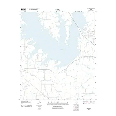 2011 Calvary2011 Print · USGSEast Texas ranching and oil country meet the sprawling waters of the reservoir in the years following its development. Local researchers can trace family landmarks like Searcy Cemetery and the rural communities of Alba, Calvary, and Salem.
 - 2012 Map of Newsome, 2012 Print
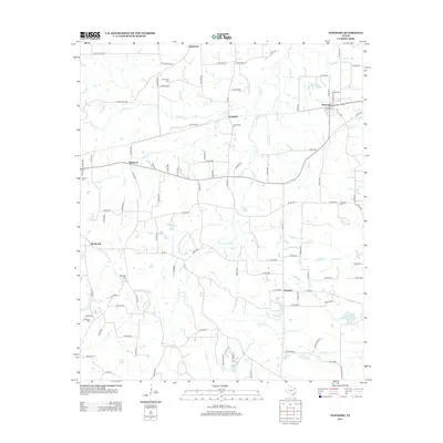 2012 Newsome2012 Print · USGSThe crossroads of Newsome and Scroggins appear in this 2010s survey of Northeast Texas, showing the area's rural development and creek networks. Genealogists can locate several family landmarks including Monday Cem, Coldwater Cem, and the settlement of Musgrove.
 - 2012 Map of Hainesville, 2012 Print
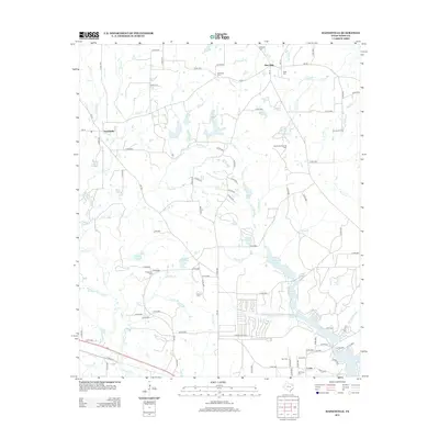 2012 Hainesville2012 Print · USGSWood County at the turn of the decade shows a landscape where energy production and family history intersect. Researchers can trace ancestral roots through sites like Mansell Cem and Reed Cem or locate industrial sites such as the Shirley Barbara Oil Field.
 - 2012 Map of Rhonesboro, 2012 Print
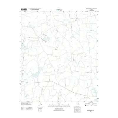 2012 Rhonesboro2012 Print · USGSWood County in the early twenty-first century remains a landscape of quiet rural settlements and winding creeks. Local researchers can trace family landmarks and historical sites like Smith Cem, Perryville, and the waters of Little Cypress Cr.
 - 2012 Map of Mineola, 2012 Print
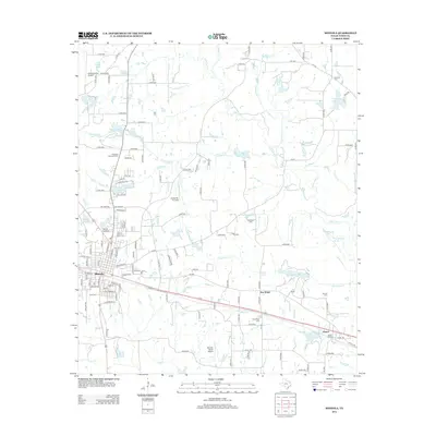 2012 Mineola2012 Print · USGSMineola and the surrounding Wood County countryside are captured here in the early twenty-first century, showcasing a transition from rural ranching to modern local infrastructure. Researchers can trace family history through sites like City Cem or follow the Union Pacific RR east through New Hope and Hoard.
 - 2012 Map of Arbala, 2012 Print
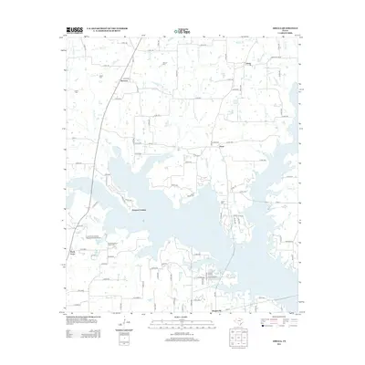 2012 Arbala2012 Print · USGSArbala and the surrounding lake country of East Texas are captured here in the early twenty-first century as modern water projects meet old settlement patterns. Researchers can trace family roots at the Welch Cem or locate historic crossings like Shotgun Crossing and Poole.
Showing maps 1-25 of 80
Top cities of Wood County
- Mineola historical maps
- Holly Lake Ranch historical maps
- Quitman historical maps
- Hawkins historical maps
- Alba historical maps
- Yantis historical maps
Frequently asked questions
- What are the different types of historical maps available for Wood County?
- What is the oldest map of Wood County?
- Where can I purchase historical maps of Wood County for my home or office?
- Where can I download high-res historical maps of Wood County?
- Are there historical topographic maps available for Wood County?
- Is there historical aerial imagery available for Wood County?
- Where are historical maps of Wood County sourced from?