2020s Maps of Sanpete County, Utah
Explore 86 historic maps of Sanpete County from the 2020s. These maps offer a rare glimpse into what life looked like during the 2020s — showing old roads, neighborhoods, homes, and landmarks that have changed or disappeared over time.
Whether you're researching your family's past, planning a metal detecting trip, or studying how Sanpete County's landscape evolved across the 2020s, these high-resolution maps are a powerful tool for exploring the history of this region.
- Focus on a specific era: All maps on this page are from the 2020s, giving you a focused view of this time period.
- See what’s changed: Compare century-old streets, trails, and buildings to today's modern landscape using overlays and satellite layers.
- Research with precision: Use these maps for genealogy, historical research, land use analysis, or educational projects.
- View, download, or print: Maps are fully viewable online in high resolution, and can be downloaded or printed for your own records.
Start exploring Sanpete County's history through authentic maps from the 2020s. This is your window into the past.
Sanpete County, UT maps
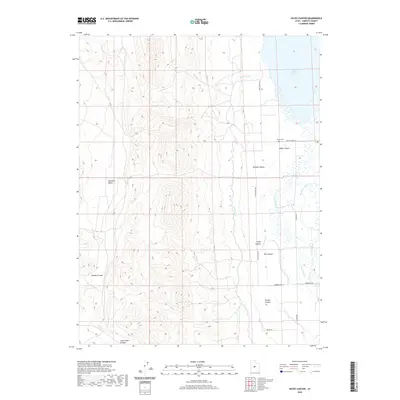
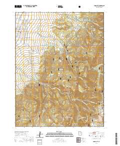
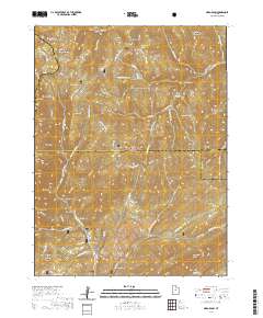
(86)- 2020 Map of Danish Knoll, 2020 Print
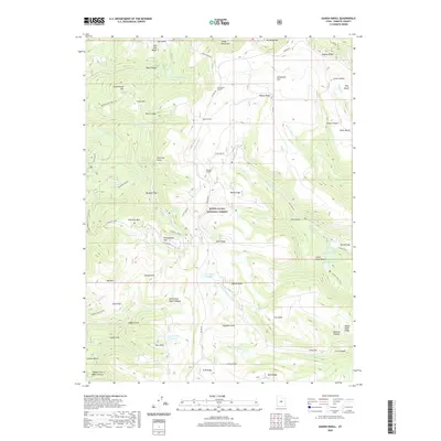 2020 Danish Knoll2020 Print · USGSCovers Sanpete County, including United States, Utah, and other nearby areas
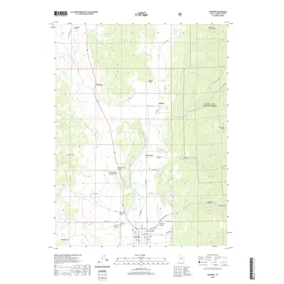
 - 2020 Map of Gunnison, 2020 Print
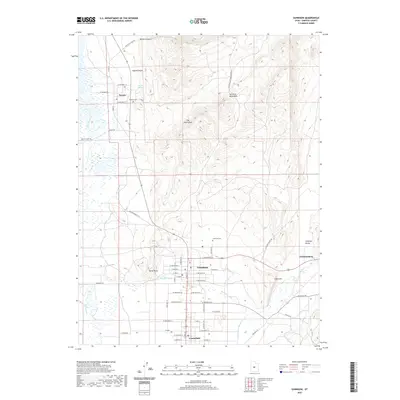 2020 Gunnison2020 Print · USGSCovers Sanpete County, including Gunnison, Centerfield, and other nearby areas
 - 2020 Map of Sterling, 2020 Print
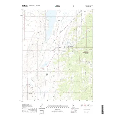 2020 Sterling2020 Print · USGSCovers Sanpete County, including Manti, Mayfield, and other nearby areas
 - 2020 Map of Scofield, 2020 Print
 2020 Scofield2020 Print · USGSCovers Sanpete County, including Scofield, Clear Creek, and other nearby areas
 - 2020 Map of Hayes Canyon, 2020 Print
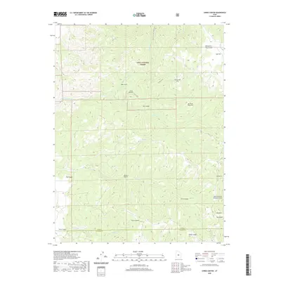
 2020 Hayes Canyon2020 Print · USGSCovers Sanpete County, including United States, Utah, and other nearby areas
 - 2020 Map of Joes Valley Reservoir, 2020 Print
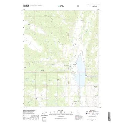 2020 Joes Valley Reservoir2020 Print · USGSCovers Sanpete County, including Emery County, United States, and other nearby areas
 - 2020 Map of Ferron Canyon, 2020 Print
 2020 Ferron Canyon2020 Print · USGSCovers Sanpete County, including Emery County, United States, and other nearby areas
 - 2020 Map of Fairview, 2020 Print
 2020 Fairview2020 Print · USGSCovers Sanpete County, including Fairview, Oak Creek, and other nearby areas
 - 2020 Map of Black Mountain, 2020 Print
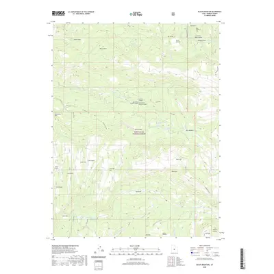 2020 Black Mountain2020 Print · USGSCovers Sanpete County, including United States, Utah, and other nearby areas
 - 2020 Map of Indianola, 2020 Print
 2020 Indianola2020 Print · USGSCovers Sanpete County, including Indianola, Utah County, and other nearby areas
 - 2020 Map of Candland Mountain, 2020 Print
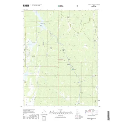 2020 Candland Mountain2020 Print · USGSCovers Sanpete County, including Carbon County, Emery County, and other nearby areas
 - 2020 Map of Fountain Green North, 2020 Print
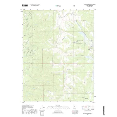
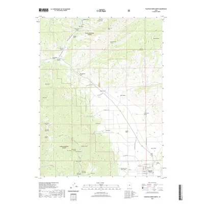 2020 Fountain Green North2020 Print · USGSCovers Sanpete County, including Fountain Green, Juab County, and other nearby areas
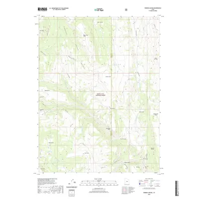
 - 2020 Map of Chriss Canyon, 2020 Print
 2020 Chriss Canyon2020 Print · USGSCovers Sanpete County, including Juab County, United States, and other nearby areas
 - 2020 Map of Big Hollow, 2020 Print
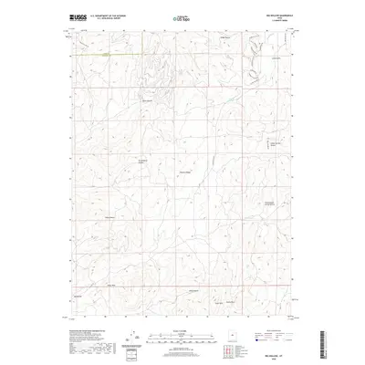 2020 Big Hollow2020 Print · USGSCovers Sanpete County, including Juab County, United States, and other nearby areas
 - 2020 Map of Spencer Canyon, 2020 Print
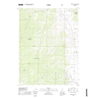 2020 Spencer Canyon2020 Print · USGSCovers Sanpete County, including Utah County, Juab County, and other nearby areas
 - 2020 Map of Moroni, 2020 Print
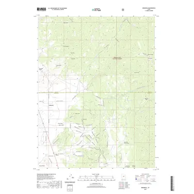
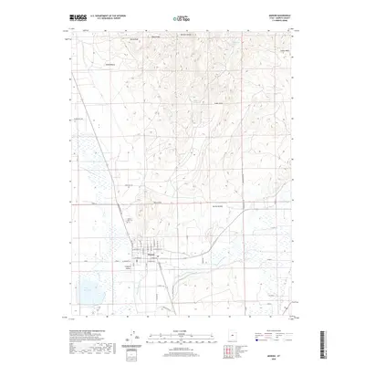 2020 Moroni2020 Print · USGSCovers Sanpete County, including Moroni, United States, and other nearby areas
 - 2020 Map of Spring City, 2020 Print
 2020 Spring City2020 Print · USGSCovers Sanpete County, including Spring City, United States, and other nearby areas
 - 2020 Map of Nebo Basin, 2020 Print
 2020 Nebo Basin2020 Print · USGSCovers Sanpete County, including Utah County, Juab County, and other nearby areas
 - 2020 Map of Heliotrope Mountain, 2020 Print
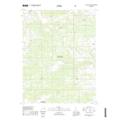 2020 Heliotrope Mountain2020 Print · USGSCovers Sanpete County, including Sevier County, United States, and other nearby areas
 - 2020 Map of Woods Lake, 2020 Print
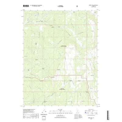 2020 Woods Lake2020 Print · USGSCovers Sanpete County, including Sevier County, United States, and other nearby areas
 - 2020 Map of Chester, 2020 Print
 2020 Chester2020 Print · USGSCovers Sanpete County, including Ephraim, Spring City, and other nearby areas
 - 2020 Map of Huntington Reservoir, 2020 Print
 2020 Huntington Reservoir2020 Print · USGSCovers Sanpete County, including Skyline Mountain Resort, United States, and other nearby areas
 - 2020 Map of Manti, 2020 Print
 2020 Manti2020 Print · USGSCovers Sanpete County, including Manti, United States, and other nearby areas
 - 2020 Map of Rilda Canyon, 2020 Print
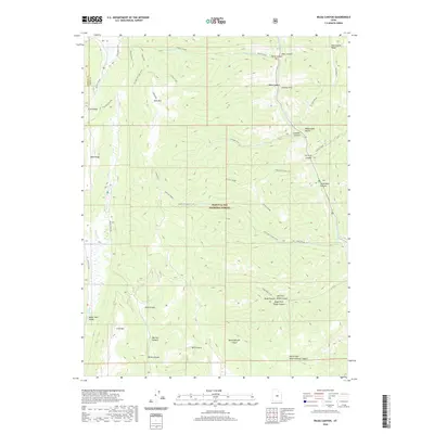 2020 Rilda Canyon2020 Print · USGSCovers Sanpete County, including Emery County, United States, and other nearby areas
 - 2020 Map of Ephraim, 2020 Print
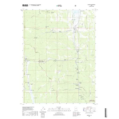
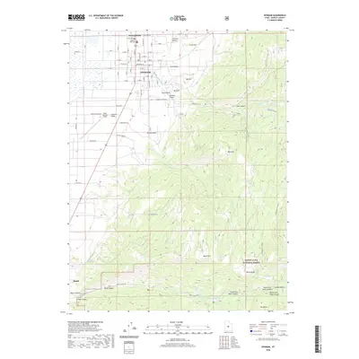 2020 Ephraim2020 Print · USGSCovers Sanpete County, including Ephraim, Manti, and other nearby areas
Showing maps 1-25 of 86
Top cities of Sanpete County
- Ephraim historical maps
- Manti historical maps
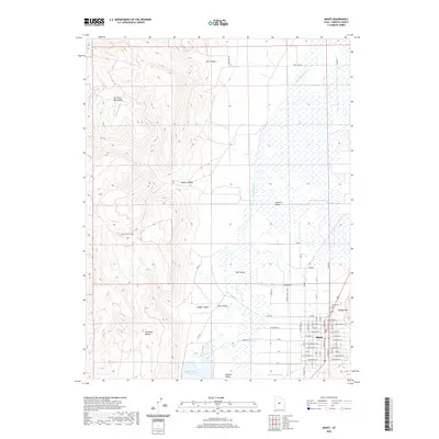
- Gunnison historical maps
- Mount Pleasant historical maps
- Moroni historical maps
- Fairview historical maps
See more
Frequently asked questions
- What are the different types of historical maps available for Sanpete County?
- What is the oldest map of Sanpete County?
- Where can I purchase historical maps of Sanpete County for my home or office?
- Where can I download high-res historical maps of Sanpete County?
- Are there historical topographic maps available for Sanpete County?
- Is there historical aerial imagery available for Sanpete County?
- Where are historical maps of Sanpete County sourced from?