Old Maps of Ritzville, Washington for Hiking & Exploration
Hike through history with 28 historic maps of Ritzville. Explore old trails, ghost towns, and forgotten backroads — perfect for outdoor adventurers and local explorers.
- Rediscover forgotten places: Map out old mining camps, roads, and footpaths that no longer exist on modern maps.
- Layer with modern tools: Combine with LiDAR or satellite views to plan hikes through historical terrain.
- Made for exploration: Popular among hikers, overlanders, and local history lovers.
Use these maps to find adventure and explore the hidden past of Ritzville.
Ritzville, WA maps
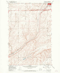
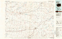
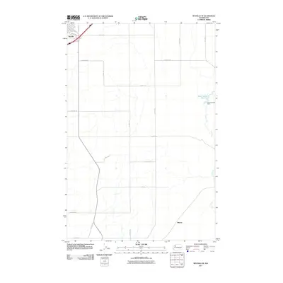
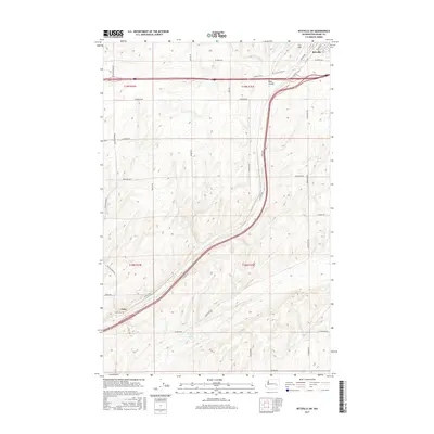
(28)- 1953 Map of Ritzville, 1966 Print
 1953 Ritzville1966 Print · USGSEastern Washington was undergoing a massive agricultural and industrial transformation in the mid-fifties as irrigation from the Grand Coulee Dam reached the plateau. Researchers can trace the mid-century rail network of the Great Northern and locate vital local sites like Larson Air Force Base and Odessa.3 unique versions available
 - 1959 Map of Ritzville
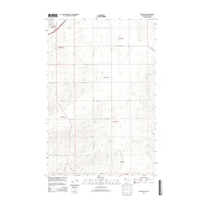
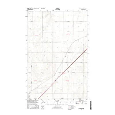
 1959 Ritzville1959 Print · USGSEastern Washington in the late fifties reveals a landscape transformed by massive irrigation projects and postwar growth. Genealogists and historians can trace rail-line communities from Ritzville to Davenport and locate landmarks like Larson Air Force Base and Telford Station.
 - 1965 Map of Ritzville
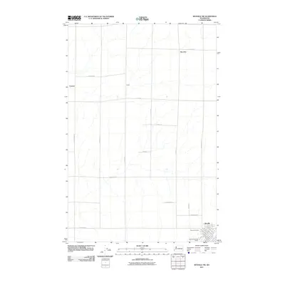
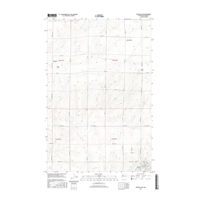
 1965 Ritzville1965 Print · USGSCentral Washington during the mid-sixties shows a landscape shaped by massive irrigation projects and the Cold War. Genealogists and historians can trace rail-town life and military presence through Ephrata Air Base, the Telford Station, and local schools.
 - 1967 Map of Ritzville SW, 1969 Print
 1967 Ritzville SW1969 Print · USGSAdams County in the late 1960s was a hub of transit and ranching, dominated by the coulees and rail lines south of the county seat. Genealogists can trace family landmarks along Dewald Road and Urquhart Road or locate the Paha Cem.2 unique versions available
 - 1967 Map of Ritzville SE, 1969 Print
 1967 Ritzville SE1969 Print · USGSSoutheast of Ritzville in the late 1960s, the landscape is a grid of family-named roads and deep basalt coulees. Trace local history along Urquhart Road, locate the old Shorthorn settlement, and follow the Milwaukee Road railroad tracks.
 - 1967 Map of Ritzville NE, 1970 Print
 1967 Ritzville NE1970 Print · USGSIn the late sixties, the wheat-growing plateaus of Adams County were defined by the rail corridor between Tokio and Ritzville. Genealogists can trace family farm locations via Schafer Road and Neergaard Road, or locate the historic Evergreen Sch and Hawthorne Sch.
 - 1967 Map of Ritzville NW, 1970 Print
 1967 Ritzville NW1970 Print · USGSAdams County agriculture and rail transport meet in the late 1960s across this Scablands landscape. You can trace the Milwaukee Road through Packard or locate family landmarks like Memorial Cemetery and Rosenoff Road.
 - 1982 Map of Ritzville, 1983 Print
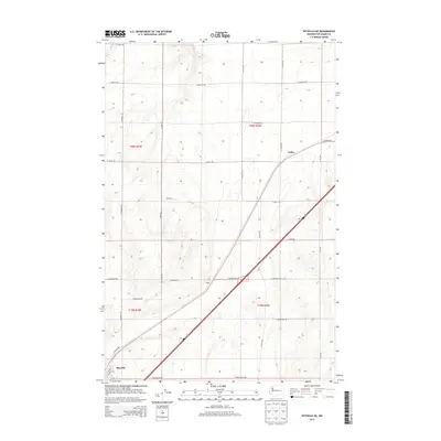
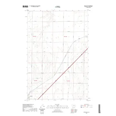
 1982 Ritzville1983 Print · USGSEastern Washington's scabland landscape is captured here in the early eighties as a network of rail-towns and coulees. Researchers can trace the BURLINGTON NORTHERN route through Odessa, Lamona, and Ritzville or locate landmarks like Sprague Lake and Karakul Hills.
 - 2011 Map of Ritzville NE, 2011 Print
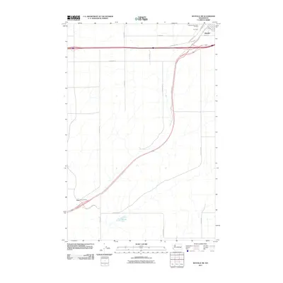
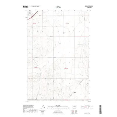
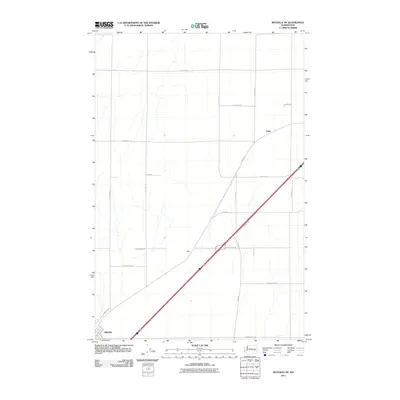 2011 Ritzville NE2011 Print · USGSCovers Ritzville, including Tokio, Adams County, and other nearby areas
 - 2011 Map of Ritzville SW, 2011 Print
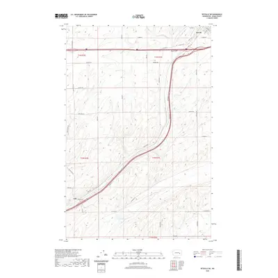
 2011 Ritzville SW2011 Print · USGSCovers Ritzville, including Paha, Adams County, and other nearby areas
 - 2011 Map of Ritzville SE, 2011 Print
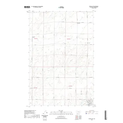
 2011 Ritzville SE2011 Print · USGSCovers Ritzville, including Hillcrest, Adams County, and other nearby areas
 - 2011 Map of Ritzville NW, 2011 Print
 2011 Ritzville NW2011 Print · USGSCovers Ritzville, including Marcellus, Adams County, and other nearby areas
 - 2013 Map of Ritzville SE, 2013 Print
 2013 Ritzville SE2013 Print · USGSCovers Ritzville, including Hillcrest, Adams County, and other nearby areas
 - 2013 Map of Ritzville SW, 2013 Print
 2013 Ritzville SW2013 Print · USGSCovers Ritzville, including Paha, Adams County, and other nearby areas
 - 2013 Map of Ritzville NW, 2013 Print
 2013 Ritzville NW2013 Print · USGSCovers Ritzville, including Marcellus, Adams County, and other nearby areas
 - 2013 Map of Ritzville NE, 2013 Print
 2013 Ritzville NE2013 Print · USGSCovers Ritzville, including Tokio, Adams County, and other nearby areas
 - 2017 Map of Ritzville SE, 2017 Print
 2017 Ritzville SE2017 Print · USGSCovers Ritzville, including Hillcrest, Adams County, and other nearby areas
 - 2017 Map of Ritzville SW, 2017 Print
 2017 Ritzville SW2017 Print · USGSCovers Ritzville, including Paha, Adams County, and other nearby areas
 - 2017 Map of Ritzville NE, 2017 Print
 2017 Ritzville NE2017 Print · USGSCovers Ritzville, including Tokio, Adams County, and other nearby areas
 - 2017 Map of Ritzville NW, 2017 Print
 2017 Ritzville NW2017 Print · USGSCovers Ritzville, including Marcellus, Adams County, and other nearby areas
 - 2020 Map of Ritzville NE, 2020 Print
 2020 Ritzville NE2020 Print · USGSCovers Ritzville, including Tokio, Adams County, and other nearby areas
 - 2020 Map of Ritzville SE, 2020 Print
 2020 Ritzville SE2020 Print · USGSCovers Ritzville, including Hillcrest, Adams County, and other nearby areas
 - 2020 Map of Ritzville SW, 2020 Print
 2020 Ritzville SW2020 Print · USGSCovers Ritzville, including Paha, Adams County, and other nearby areas
 - 2020 Map of Ritzville NW, 2020 Print
 2020 Ritzville NW2020 Print · USGSCovers Ritzville, including Marcellus, Adams County, and other nearby areas
 - 2023 Map of Ritzville SE, 2023 Print
 2023 Ritzville SE2023 Print · USGSThe outskirts of Ritzville and the high plains of Adams County are captured here in the early twenty-first century. Genealogists and local historians can locate the Emmanuel Lutheran Cem, trace McElroy Coulee, and follow the Palouse To Cascades State Park Trl.
Showing maps 1-25 of 28
Top cities near Ritzville
Frequently asked questions
- What are the different types of historical maps available for Ritzville?
- What is the oldest map of Ritzville?
- Where can I purchase historical maps of Ritzville for my home or office?
- Where can I download high-res historical maps of Ritzville?
- Are there historical topographic maps available for Ritzville?
- Is there historical aerial imagery available for Ritzville?
- Where are historical maps of Ritzville sourced from?