2010s Maps of Ferry County, Washington
Explore 189 historic maps of Ferry County from the 2010s. These maps offer a rare glimpse into what life looked like during the 2010s — showing old roads, neighborhoods, homes, and landmarks that have changed or disappeared over time.
Whether you're researching your family's past, planning a metal detecting trip, or studying how Ferry County's landscape evolved across the 2010s, these high-resolution maps are a powerful tool for exploring the history of this region.
- Focus on a specific era: All maps on this page are from the 2010s, giving you a focused view of this time period.
- See what’s changed: Compare century-old streets, trails, and buildings to today's modern landscape using overlays and satellite layers.
- Research with precision: Use these maps for genealogy, historical research, land use analysis, or educational projects.
- View, download, or print: Maps are fully viewable online in high resolution, and can be downloaded or printed for your own records.
Start exploring Ferry County's history through authentic maps from the 2010s. This is your window into the past.
Ferry County, WA maps
(189)- 2011 Map of Creston, 2011 Print
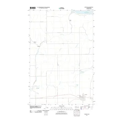 2011 Creston2011 Print · USGSCreston and the settlement of Sherman are captured here during the early twenty-first century, showing the local road network above the Columbia River. Researchers can trace land use near Franklin D Roosevelt Lake or locate sites along Goose Creek and Hansen Dam.
 - 2011 Map of Johnny George Mountain, 2011 Print
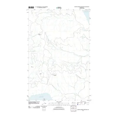 2011 Johnny George Mountain2011 Print · USGSThe Stevens County interior and the Colville Indian Reservation are shown here as they appeared in 2011. Researchers can trace the high ridges of Johnny George Mountain and locate isolated landmarks like Bear Spring and Sterling Point.
 - 2011 Map of Whitestone Rock, 2011 Print
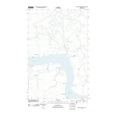 2011 Whitestone Rock2011 Print · USGSThe eastern Washington shoreline along Franklin D Roosevelt Lake is captured here in the early 21st century. Researchers can trace the boundaries of the Colville Indian Reservation and locate local landmarks like Whitestone Rock and Hellgate Island.
 - 2011 Map of Mica Mountain, 2011 Print
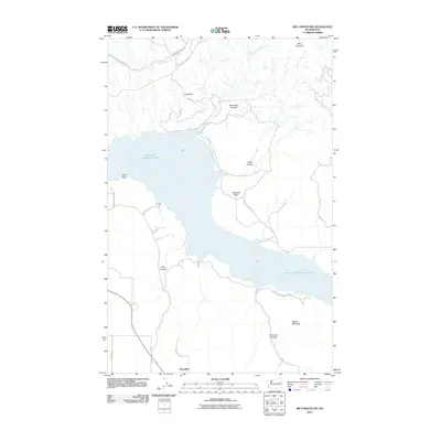 2011 Mica Mountain2011 Print · USGSOkanogan County's landscape is defined by the massive reach of Franklin D Roosevelt Lake and the Colville Indian Reservation in the early twenty-first century. Genealogists and local historians can trace family-named routes near Hesseltine or explore the rugged canyons of Neal Canyon and Kwei Kwei Canyon.
 - 2011 Map of Olsen Canyon, 2011 Print
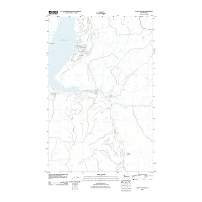 2011 Olsen Canyon2011 Print · USGSSeven Bays and the surrounding Lincoln County plateaus are documented here in the early twenty-first century as the area continued its development as a lakeside destination. Genealogists and local historians can trace family-named landmarks like Egypt, Olsen Canyon, and the remote Hawk Creek Falls.
 - 2011 Map of Lincoln, 2011 Print
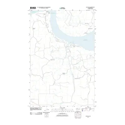 2011 Lincoln2011 Print · USGSThe Lincoln County shoreline of the Columbia River comes into focus on the eve of the twenty-tens, showing the residential and recreational development around the reservoir. Genealogists and hikers can trace local routes like Sterling Valley Rd N and explore named terrain like Redwine Canyon and Welsh Creek Cove.
 - 2011 Map of Fort Spokane, 2011 Print
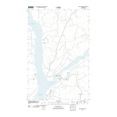 2011 Fort Spokane2011 Print · USGSThe Spokane River Arm and the Columbia River meet here within the Spokane Indian Reservation during the early twenty-first century. Genealogists and historians can trace local landmarks such as Fort Spokane, Miles, and the distinctive Mitre Rock.
 - 2011 Map of Keller Ferry, 2011 Print
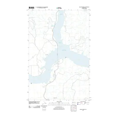 2011 Keller Ferry2011 Print · USGSThe confluence of the Sanpoil and Columbia rivers is captured here as a landscape of wide water and high bluffs in the early twenty-first century. Researchers can trace the path of the Keller Ferry and locate shore features like China Bluff and Moonbeam Bay.
 - 2011 Map of Inchelium, 2011 Print
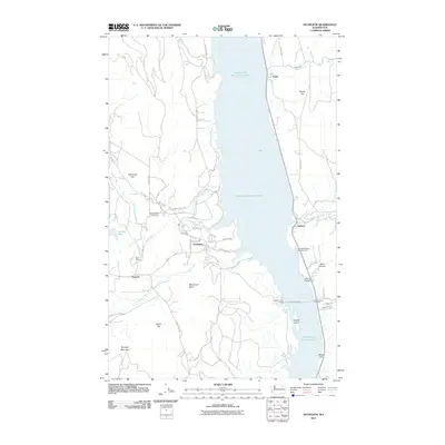 2011 Inchelium2011 Print · USGSThe Columbia River valley in Ferry County is centered around Inchelium and the expansive Franklin D Roosevelt Lake during the early 2000s. Researchers can trace the river's transport history via the Inchelium Ferry Landing or locate landmarks like Guinn Mine and Monument Butte.
 - 2011 Map of Nespelem NE, 2011 Print
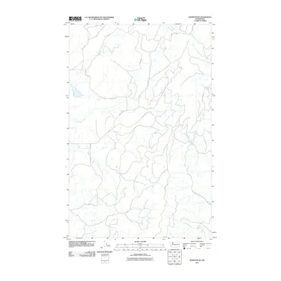 2011 Nespelem NE2011 Print · USGSThe Okanogan highlands show a complex landscape of creek drainages and Bureau of Indian Affairs routes in the early twenty-first century. Researchers can trace the winding course of the Little Nespelem River and find access roads like Owhi Lake Rd and Keller Butte Rd.
 - 2011 Map of Cody Butte, 2011 Print
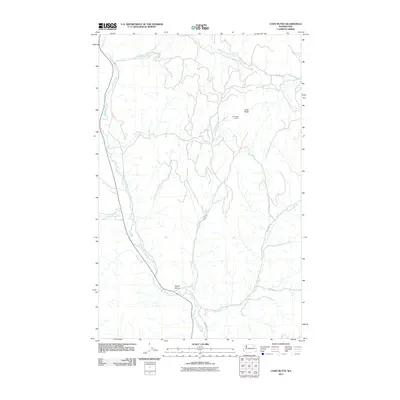 2011 Cody Butte2011 Print · USGSFerry County’s highland forests are mapped here in the early twenty-first century, showing a landscape defined by deep river valleys and high-elevation observation points. You can trace the Sanpoil River past Devils Elbow or locate the historic Cody Butte Lookout.
 - 2011 Map of Keller Butte, 2011 Print
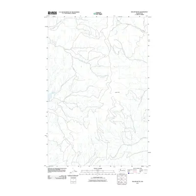 2011 Keller Butte2011 Print · USGSOkanogan County’s high country in the early twenty-first century is defined by the steep drainages surrounding Keller Butte. Researchers can trace old family-named routes and watercourses like Moses Rd, Peter Dan Creek, and the shoreline of Buffalo Lake.
 - 2011 Map of Friedlander Meadows, 2011 Print
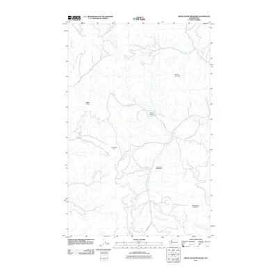 2011 Friedlander Meadows2011 Print · USGSFerry County’s high meadows and mining claims are recorded here in the early twenty-first century. Researchers can trace the industrial footprint at Pacific Mutual Mines or follow the remote tracks of BIA 1042 Rd through Friedlander Meadows.
 - 2011 Map of Twin Lakes, 2011 Print
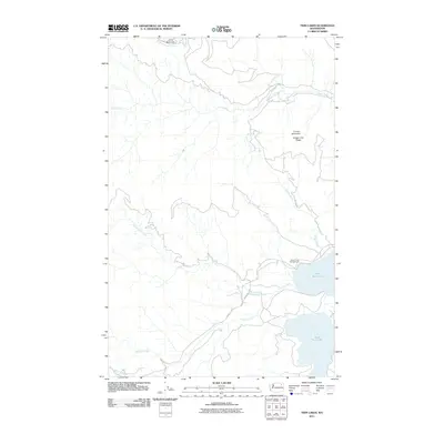 2011 Twin Lakes2011 Print · USGSFerry County’s mountainous interior is showcased in the early twenty-first century, centered on the twin basins of the eastern shoreline. Researchers can trace forest access roads like BIA 1048 Rd and find recreation landmarks such as Rocky Point Campground near North Twin Lake.
 - 2011 Map of Keller, 2011 Print
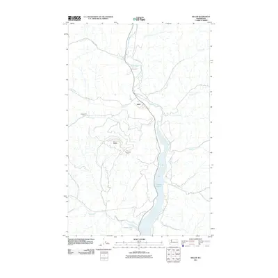 2011 Keller2011 Print · USGSKeller and the surrounding Ferry County highlands are captured here in the early twenty-first century as the Sanpoil River valley meets the waters of the Sanpoil River Arm. Researchers can locate industrial sites like the Consolidated Mines and Meadow Creek Mine while tracing local routes toward Mount Tolman.
 - 2011 Map of Miller Mountain, 2011 Print
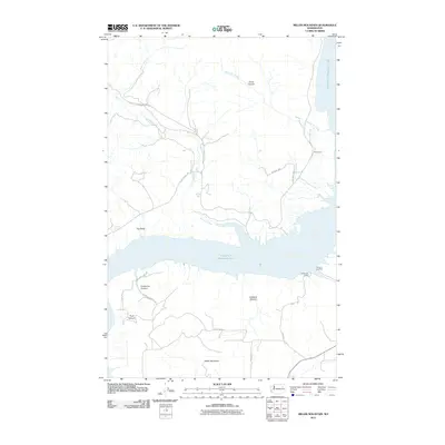 2011 Miller Mountain2011 Print · USGSThe Stevens County shoreline of Franklin D Roosevelt Lake is captured here in the early twenty-first century. Researchers can trace land access and remote settlements like Gerome Landing, Enterprise Camp, and the high peak of Miller Mountain.
 - 2011 Map of Ninemile Flat, 2011 Print
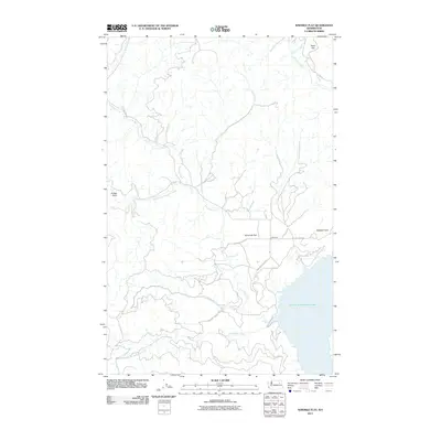 2011 Ninemile Flat2011 Print · USGSThe shorelines of the Columbia River reservoir in Stevens County are captured here in the early 2000s. Researchers can trace the drainage of Ninemile Creek and Canteen Creek as they meet the water near Ninemile and Ninemile Flat.
 - 2011 Map of Kewa, 2011 Print
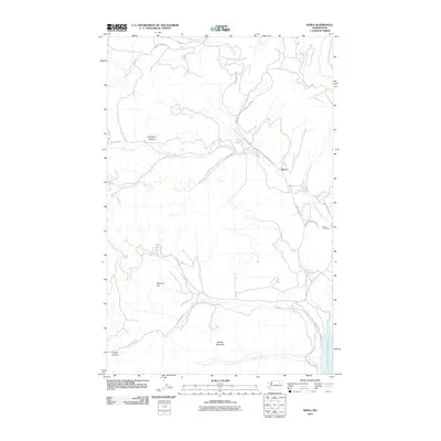 2011 Kewa2011 Print · USGSThe community of Kewa is captured in the early 21st century as it borders the eastern reaches of Franklin D Roosevelt Lake. Researchers can locate the Kewa Cemetery and trace rural land features from Longhairs Pasture to the peaks of Middle Mountain.
 - 2011 Map of Central Peak, 2011 Print
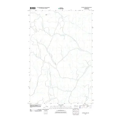 2011 Central Peak2011 Print · USGSOkanogan County's upland drainages and ridgelines are captured here in the early twenty-first century. Researchers can trace the network of BIA roads and watercourses like North Nanamkin Creek, Bear Creek, and the area surrounding Central Peak.
 - 2011 Map of Gold Mountain, 2011 Print
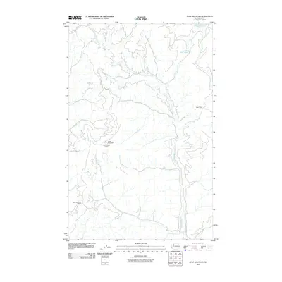 2011 Gold Mountain2011 Print · USGSFerry County’s high country is documented here in the early twenty-first century, centered on the prominent summit and ridgelines of the Colville Indian Reservation. Researchers can trace the Gold Mountain Lookout and explore the alpine waters of South Twin Lake and Little Twin Lakes.
 - 2011 Map of Cody Lake, 2011 Print
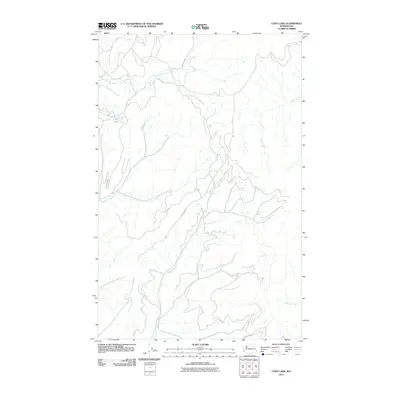 2011 Cody Lake2011 Print · USGSFerry County’s backcountry comes into focus in this early twenty-first-century survey of the high-country drainage basins. Researchers can trace the winding paths of Thirtymile Creek and Keno Trail Rd near the secluded waters of Cody Lake.
 - 2011 Map of Moon Mountain, 2011 Print
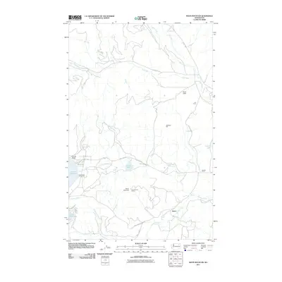 2011 Moon Mountain2011 Print · USGSFerry County’s highlands and lakefronts are captured here in the early twenty-first century, showing a landscape defined by water and forest. Researchers can locate family landmarks like Hall Ranch, find the Lakeside Grange, or trace the path to the Moon Mountain Lookout.
 - 2011 Map of Frosty Meadow, 2011 Print
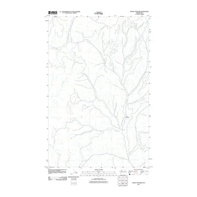 2011 Frosty Meadow2011 Print · USGSFerry County’s high-country drainages are shown in detail in this early twenty-first-century survey of the Colville Indian Reservation. Modern researchers can trace the intricate network of tribal and county roads, including BIA 1125 Rd, that navigate the watersheds of Frosty Meadow and Bridge Creek.
 - 2011 Map of Marcus, 2011 Print
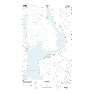 2011 Marcus2011 Print · USGSThe river and rail landscapes of Stevens County come into focus in this recent survey of Marcus and East Marcus. Historians and researchers can locate several upland mining operations, such as Napoleon Mine and Gold Reef Mine, alongside the waters of Franklin D Roosevelt Lake.
 - 2011 Map of Hunters, 2011 Print
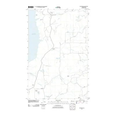 2011 Hunters2011 Print · USGSThe eastern shores of the Columbia River are captured here in the early twenty-first century, centered on the rural communities of Stevens County. Researchers can trace family history at the Enterprise Cemetery or locate landmarks like Hunters Landing and the H and B Mine.
Showing maps 1-25 of 189
Top cities of Ferry County
Frequently asked questions
- What are the different types of historical maps available for Ferry County?
- What is the oldest map of Ferry County?
- Where can I purchase historical maps of Ferry County for my home or office?
- Where can I download high-res historical maps of Ferry County?
- Are there historical topographic maps available for Ferry County?
- Is there historical aerial imagery available for Ferry County?
- Where are historical maps of Ferry County sourced from?