2020s Maps of Ferry County, Washington
Explore 130 historic maps of Ferry County from the 2020s. These maps offer a rare glimpse into what life looked like during the 2020s — showing old roads, neighborhoods, homes, and landmarks that have changed or disappeared over time.
Whether you're researching your family's past, planning a metal detecting trip, or studying how Ferry County's landscape evolved across the 2020s, these high-resolution maps are a powerful tool for exploring the history of this region.
- Focus on a specific era: All maps on this page are from the 2020s, giving you a focused view of this time period.
- See what’s changed: Compare century-old streets, trails, and buildings to today's modern landscape using overlays and satellite layers.
- Research with precision: Use these maps for genealogy, historical research, land use analysis, or educational projects.
- View, download, or print: Maps are fully viewable online in high resolution, and can be downloaded or printed for your own records.
Start exploring Ferry County's history through authentic maps from the 2020s. This is your window into the past.
Ferry County, WA maps
(130)- 2020 Map of Fort Spokane, 2020 Print
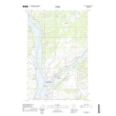 2020 Fort Spokane2020 Print · USGSThe confluence of the Columbia and Spokane rivers is documented here in the early twenty-first century, highlighting a landscape shaped by water and high plateau. Researchers can trace the layout of Fort Spokane, the small settlement of Miles, and landmarks like Miller Mountain and Swede Flats.
 - 2020 Map of Olsen Canyon, 2020 Print
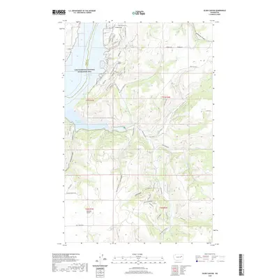 2020 Olsen Canyon2020 Print · USGSLincoln County’s rugged canyonlands meet the Columbia River in the late twenty-teens, showing the intersection of ranching lands and recreational shoreline. Trace local landmarks from 7 Bays Airport and Hawk Creek Harbor to the high grounds of Bachelor Prairie.
 - 2020 Map of Whitestone Rock, 2020 Print
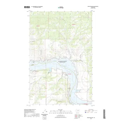 2020 Whitestone Rock2020 Print · USGSThe Columbia River corridor north of Wilbur is documented here in the modern era, showing where the water separates Lincoln and Ferry counties. Trace the rugged canyon geography of Hellgate Island and the namesake Whitestone Rock along the shores of Franklin D Roosevelt Lake.
 - 2020 Map of Mica Mountain, 2020 Print
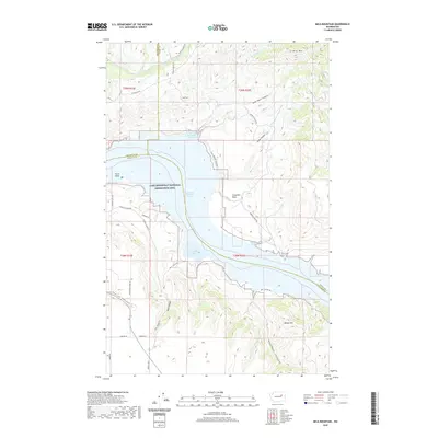 2020 Mica Mountain2020 Print · USGSThe Okanogan and Lincoln county borderlands meet at the turn of the twenty-first century along the expansive Franklin D Roosevelt Lake. Local historians can trace the rugged topography of Swawilla Basin or locate landmarks like Mica Mtn and Plum Point.
 - 2020 Map of Lincoln, 2020 Print
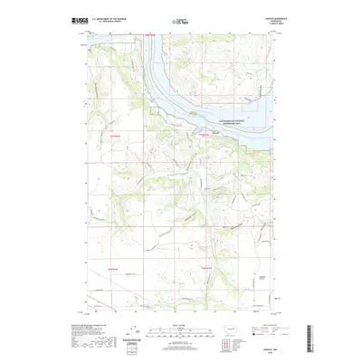 2020 Lincoln2020 Print · USGSLincoln and the southern reaches of Lake Roosevelt are captured in this recent survey of the Washington high country. Trace the geography of the shoreline at Welch Creek Cove and the deep cuts of Redwine Canyon or McDowell Canyon.
 - 2020 Map of Keller Ferry, 2020 Print
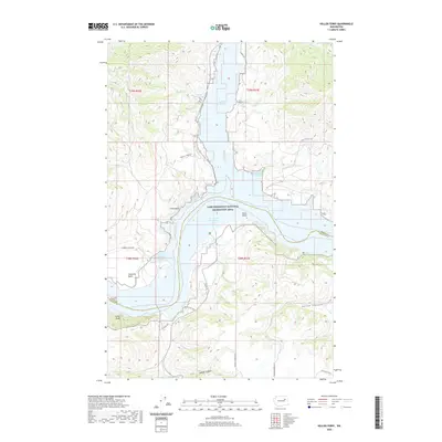 2020 Keller Ferry2020 Print · USGSLake Roosevelt and its rugged shoreline are documented here as they appeared in 2020 at the border of Ferry and Lincoln counties. Map collectors and historians can trace the intricate network of inlets like Sanpoil River Arm and landmarks such as China Bluff and Speigle Canyon.
 - 2020 Map of Creston, 2020 Print
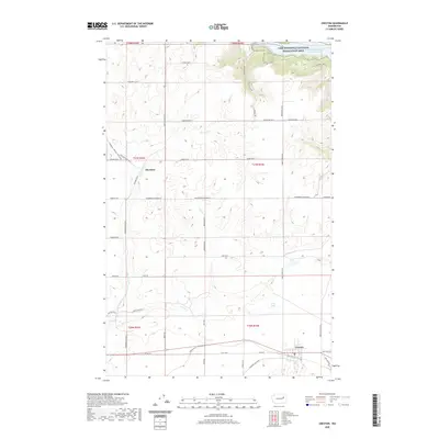 2020 Creston2020 Print · USGSCreston and the surrounding Lincoln County highlands are documented here in the early twenty-first century as the landscape slopes toward the Columbia. Genealogists and local historians can trace the rural road networks connecting Creston and Sherman to Kunz Lake and Franklin D Roosevelt Lake.
 - 2020 Map of Boundary Mountain OE N, 2020 Print
 2020 Boundary Mountain OE N2020 Print · USGSThe international borderlands are captured in detail during this 2020 survey, focusing on the hydrologic patterns along the northern boundary. Researchers can trace the winding river systems and drainage networks that cross into Canada through this quiet stretch of terrain.
 - 2020 Map of Vulcan Mountain OE N, 2020 Print
 2020 Vulcan Mountain OE N2020 Print · USGSThe northern reaches of the Canada border come into focus in this recent topographic study of the region's high-altitude drainage basins. Trace the intricate network of mountain streams and natural watercourses flowing through the territory north of the Canada line.
 - 2020 Map of Toroda OE N, 2020 Print
 2020 Toroda OE N2020 Print · USGSThe international borderlands at the start of the 2020s are captured here along the line where the United States meets Canada. Genealogists and researchers can trace the intricate network of northern watersheds and drainages that define the topography of this frontier region.
 - 2020 Map of Laurier OE N, 2020 Print
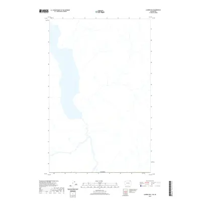 2020 Laurier OE N2020 Print · USGSThe northern borderlands and the extensive reaches of a major alpine lake define this region of British Columbia in the modern era. Map collectors and researchers can trace the precise international boundary of CANADA as it intersects the local drainage and shoreline.
 - 2020 Map of Independent Mountain OE N, 2020 Print
 2020 Independent Mountain OE N2020 Print · USGSThe international border with CANADA marks the southern limit of this mountain landscape during the early twenty-first century. Researchers can trace the complex network of unnamed streams and high-elevation terrain that defines this remote section of the borderlands.
 - 2020 Map of Curlew OE N, 2020 Print
 2020 Curlew OE N2020 Print · USGSCentered on the international border in the early twenty-first century, this survey tracks the rugged headwaters and drainage patterns of Ferry County. Researchers can trace the formal boundary with Canada and explore the complex network of unnamed seasonal creeks and mountain terrain.
 - 2020 Map of Johnny George Mountain, 2020 Print
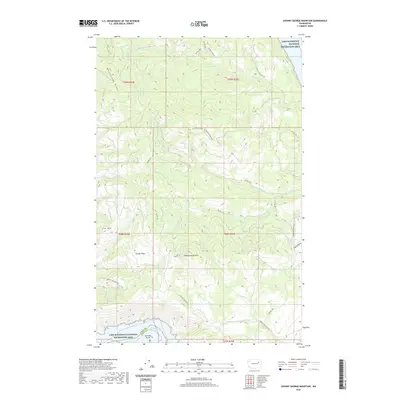 2020 Johnny George Mountain2020 Print · USGSStevens County’s high country meets the shores of the Columbia River in this recent survey. Researchers can trace the winding Ninemile-Hellgate Rd as it climbs past Johnny George Mtn and the isolated Grouse Flats.
 - 2020 Map of Louie Creek, 2020 Print
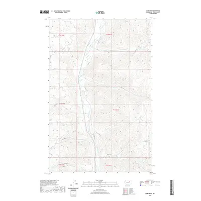 2020 Louie Creek2020 Print · USGSFerry County's upland river valleys are captured here in the years following the turn of the century. Genealogists and researchers can trace the routes of E San Poil Rd and CO Hwy 2 as they follow the Sanpoil River and its many tributaries.
 - 2020 Map of Keller, 2020 Print
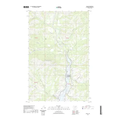 2020 Keller2020 Print · USGSThe mountain valleys of the Colville Reservation are documented here in the early twenty-first century, centered on the settlement of Keller. Researchers can trace the river-fed landscape from Mt Tolman down to the Sanpoil River Arm and French Johns Lake.
 - 2020 Map of Keller Butte, 2020 Print
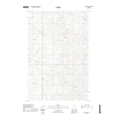 2020 Keller Butte2020 Print · USGSThe Okanogan highlands are captured here in the modern era, showing the intersection of tribal land management and high-country terrain. Researchers can trace the winding paths of Keller Butte Rd and locate landmarks like Buffalo Lake and Keller Butte.
 - 2020 Map of Twin Lakes, 2020 Print
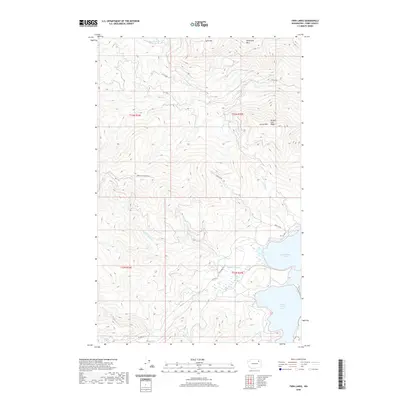 2020 Twin Lakes2020 Print · USGSFerry County's high-country terrain and lakefronts are captured here during the 2020s, showing the intersection of tribal lands and mountain geography. Researchers can trace the drainage of Beaver Dam Cr or locate the peaks of Lynx Mtn and Oregon City Ridge.
 - 2020 Map of Gold Mountain, 2020 Print
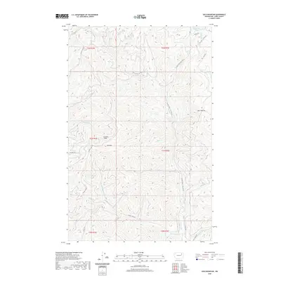 2020 Gold Mountain2020 Print · USGSFerry County mountain terrain and high-country drainages are documented here in the early twenty-first century. Researchers can trace the winding paths of Wilmont Cr or locate specific landmarks like Gold Mtn and the high pass at Bear Hide Gap.
 - 2020 Map of Central Peak, 2020 Print
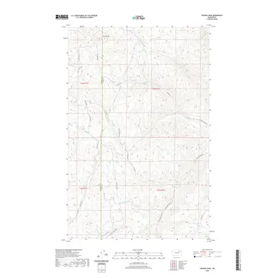 2020 Central Peak2020 Print · USGSOkanogan County's high country is captured here in the modern era, showing the intersection of vital watershed management and mountain transit. Researchers can trace the routes of Owhi Fish Hatchery Rd and Central Peak Rd as they navigate the drainages of N Nanamkin Cr.
 - 2020 Map of Friedlander Meadows, 2020 Print
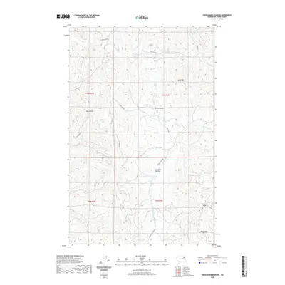 2020 Friedlander Meadows2020 Print · USGSFerry County's high meadows and mountain ridges are captured here during the 2020s, showing a landscape defined by traditional reservation routes. Researchers can trace land use patterns along Ninemile-Hellgate Rd or locate peaks like Whitestone Mtn and Sclome Mtn.
 - 2020 Map of Cody Lake, 2020 Print
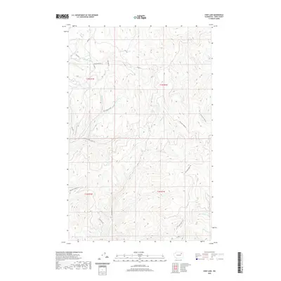 2020 Cody Lake2020 Print · USGSFerry County's high-country drainages and ridgeline trails are captured here during the early twenty-first century. Researchers can trace the path of the Twin Lakes Summit Trl or locate the headwaters of Klondyke Cr and Wilmont Cr.
 - 2020 Map of Frosty Meadow, 2020 Print
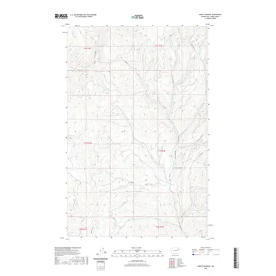 2020 Frosty Meadow2020 Print · USGSFerry County's interior is captured in this modern survey of the drainages and meadows of the Colville National Forest region. Genealogists and researchers can trace the routes of Frosty Meadows Rd and the courses of Klondyke Cr and Pollock Cr.
 - 2020 Map of Nespelem NE, 2020 Print
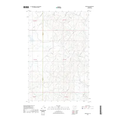 2020 Nespelem NE2020 Print · USGSOkanogan and Ferry counties meet in this mountainous region during the early twenty-first century. Researchers can trace the winding paths of Owhi Fish Hatchery Rd and Owhi Lake Rd or follow the course of the Little Nespelem River.
 - 2020 Map of Moon Mountain, 2020 Print
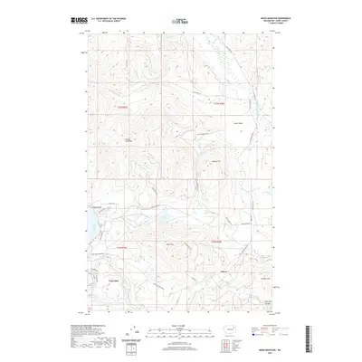 2020 Moon Mountain2020 Print · USGSFerry County’s highlands and lakeside communities are captured here in the contemporary era. Researchers can trace the development of Meteor and Twin Lakes or locate landmarks like Carson Beach and the Twin Lakes Ditch.
Showing maps 1-25 of 130
Top cities of Ferry County
Frequently asked questions
- What are the different types of historical maps available for Ferry County?
- What is the oldest map of Ferry County?
- Where can I purchase historical maps of Ferry County for my home or office?
- Where can I download high-res historical maps of Ferry County?
- Are there historical topographic maps available for Ferry County?
- Is there historical aerial imagery available for Ferry County?
- Where are historical maps of Ferry County sourced from?