2020s Maps of Garfield County, Washington
Explore 50 historic maps of Garfield County from the 2020s. These maps offer a rare glimpse into what life looked like during the 2020s — showing old roads, neighborhoods, homes, and landmarks that have changed or disappeared over time.
Whether you're researching your family's past, planning a metal detecting trip, or studying how Garfield County's landscape evolved across the 2020s, these high-resolution maps are a powerful tool for exploring the history of this region.
- Focus on a specific era: All maps on this page are from the 2020s, giving you a focused view of this time period.
- See what’s changed: Compare century-old streets, trails, and buildings to today's modern landscape using overlays and satellite layers.
- Research with precision: Use these maps for genealogy, historical research, land use analysis, or educational projects.
- View, download, or print: Maps are fully viewable online in high resolution, and can be downloaded or printed for your own records.
Start exploring Garfield County's history through authentic maps from the 2020s. This is your window into the past.
Garfield County, WA maps
(50)- 2020 Map of Central Ferry, 2020 Print
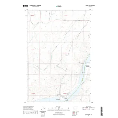 2020 Central Ferry2020 Print · USGSThe Snake River crossing at Central Ferry appears here in the contemporary era, marking the vital border between Whitman and Garfield counties. Researchers can trace the steep geography of the breaks via Schoolhouse Draw, Purrington, and Hammer Gulch.
 - 2020 Map of Almota, 2020 Print
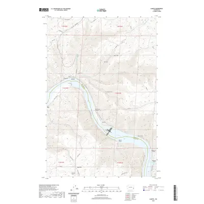 2020 Almota2020 Print · USGSThe Snake River canyon near Mayview is depicted here in the early twenty-first century, revealing a landscape of steep grades and river landings. Trace local history through family-named sites like Moys Cem, Spalding Cem, and the old path of Almota Ferry Rd.
 - 2020 Map of Pomeroy, 2020 Print
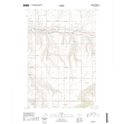 2020 Pomeroy2020 Print · USGSPomeroy and the surrounding Garfield County plateau are captured here in the modern era, showing the intersection of deep gulches and upland flats. Researchers can trace local lineage through sites like Holy Rosary Cem or explore the rural landscape around Pataha and Calloway Hill.
 - 2020 Map of Zumwalt, 2020 Print
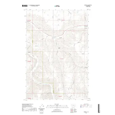 2020 Zumwalt2020 Print · USGSGarfield and Columbia Counties appear in the early 21st century as a landscape of deep valleys and plateau farms. Researchers can trace the rural history of Pomeroy and Zumwalt or locate family sites at Owsley Cem and the IOOF Cem.
 - 2020 Map of Wades Bar, 2020 Print
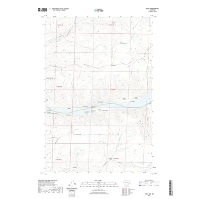 2020 Wades Bar2020 Print · USGSThe Snake River corridor in Southeast Washington appears here in recent detail, marking the rugged transition between Whitman and Garfield Counties. Researchers can trace old river landings and geographical landmarks like Wades Bar, the settlement of Swift, and the winding Penawawa Creek.
 - 2020 Map of Silcott Island, 2020 Print
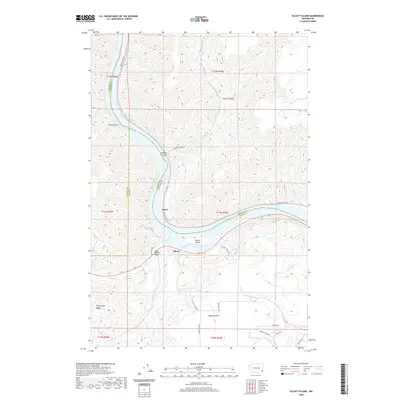 2020 Silcott Island2020 Print · USGSThe Snake River corridor in southeastern Washington is captured here in modern detail. Local historians can trace the geography around Silcott and Moses, or locate landmarks like the Indian Timothy Bridge and the steep terrain of Flerchinger Ridge.
 - 2020 Map of Gould City, 2020 Print
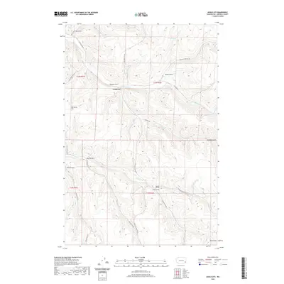 2020 Gould City2020 Print · USGSGould City and the surrounding coulees of Garfield County are captured here in the modern era. Researchers can trace land use through family-named landmarks like Ben Day Gulch and Smith Gulch, or locate remote sites like Coyote Spring.
 - 2020 Map of Alpowa Ridge, 2020 Print
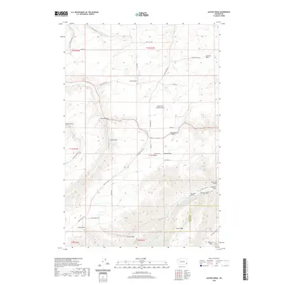 2020 Alpowa Ridge2020 Print · USGSThe high plateau country of the Washington-Idaho borderlands is captured here in the early twenty-first century, showcasing a landscape of deep canyons and prominent ridges. Researchers can trace land use patterns across Pataha Valley and find remote water sources like Dresser Spring and Kaufman Springs.
 - 2020 Map of Ping, 2020 Print
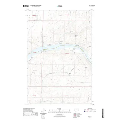 2020 Ping2020 Print · USGSThe Snake River breaks through the high plateaus of Garfield and Whitman counties in this modern topographic survey. Researchers can trace historic river landings and steep upland routes like Penawawa Bar, Tucker Bar, and the winding Fincher Grade.
 - 2020 Map of Kirby, 2020 Print
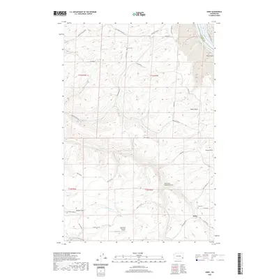 2020 Kirby2020 Print · USGSGarfield County's high plateau country is documented here in the modern era, showing the intersection of agricultural ranching and the deep canyons of the Snake River. Genealogists and local historians can trace family locations near Kirby and identify ancestral sites at Mayview Cem or the Dye Seed Ranch Inc Airport.
 - 2020 Map of Stember Creek, 2020 Print
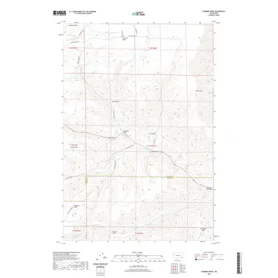 2020 Stember Creek2020 Print · USGSAsotin and Garfield Counties meet in this upland landscape during the early twenty-first century. Researchers can trace family land ties and mountain access routes along Valentine Ridge Rd, Knotgrass Ridge, and the winding Alpowa Cr.
 - 2020 Map of Turner, 2020 Print
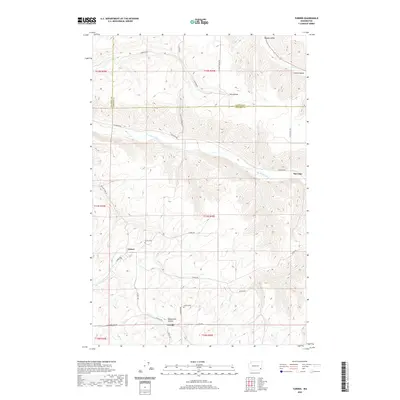 2020 Turner2020 Print · USGSColumbia County at the turn of the decade remains a landscape of high plateaus and deep river valleys. Genealogists can locate family burial sites at the Turner Cem and Covello Cem or trace the early paths of Turner Rd and the Tucannon River.
 - 2020 Map of Falling Springs, 2020 Print
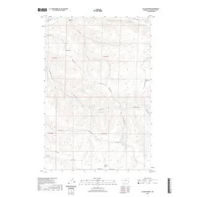 2020 Falling Springs2020 Print · USGSGarfield County’s high ridges and spring-fed canyons are documented here in the early twenty-first century. Researchers can trace historic access routes like Vannaton Grade and find named landmarks such as Falling Springs, Wild Horse Hill, and Kuhl Ridge.
 - 2020 Map of Granite Point, 2020 Print
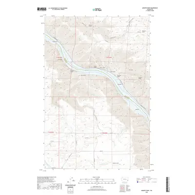 2020 Granite Point2020 Print · USGSThe Snake River corridor in Whitman County comes into sharp focus during this recent survey of its steep canyon walls and riverside bars. Trace the rugged terrain from Granite Point and Castle Rock down to historic river landings at Bishop Bar and Kelly Bar.
 - 2020 Map of Colton, 2020 Print
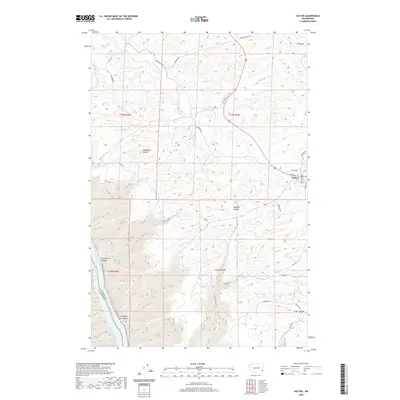 2020 Colton2020 Print · USGSThe community of Colton and its surrounding wheat country are documented here as they appeared in 2020. Local researchers can trace family-named roads like Moerhle Rd and Schlee Rd through the deep draws of Steptoe Canyon and toward the Snake River.
 - 2020 Map of Dodge, 2020 Print
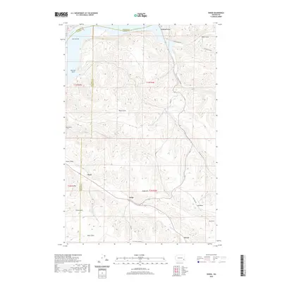 2020 Dodge2020 Print · USGSThe northern edge of the Palouse breaks into the breaks of the Snake River during this era of modern transport and agricultural tradition. Researchers can trace land use along the Pataha Valley, finding named points like Dodge, Central Ferry, and Chard.
 - 2020 Map of Rose Springs, 2020 Print
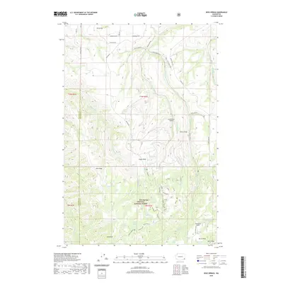 2020 Rose Springs2020 Print · USGSGarfield County's high ridges and national forest lands are documented here in the early twenty-first century. Researchers can trace historic access routes and water sources like Peola - Iron Springs Road, Rose Springs, and Government Spring.
 - 2020 Map of Stentz Spring, 2020 Print
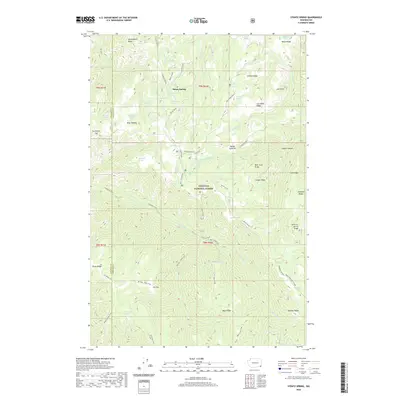 2020 Stentz Spring2020 Print · USGSThis corner of the Umatilla National Forest in the contemporary era remains a complex landscape of deep canyons and named springs. Researchers can trace historic access routes along the Tucannon Trail or locate remote landmarks like Elk Flat and Stentz Spring.
 - 2020 Map of Saddle Butte, 2020 Print
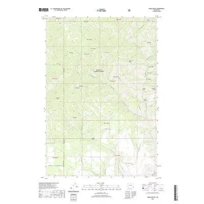 2020 Saddle Butte2020 Print · USGSAsotin County high country is mapped in the modern era, showing the protected lands of the Umatilla National Forest. Outdoor enthusiasts and researchers can trace historic routes like the Wenatchee Trail across landmarks such as Saddle Butte and Mt Horrible.
 - 2020 Map of Hopkins Ridge, 2020 Print
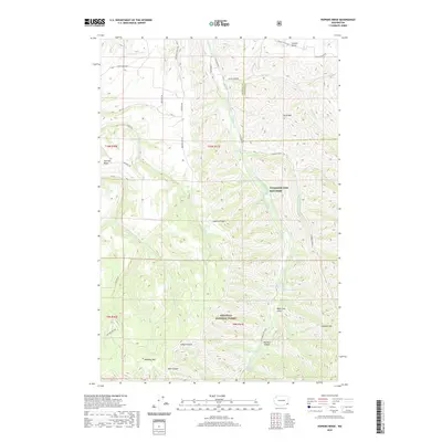 2020 Hopkins Ridge2020 Print · USGSThe high ridges and deep river canyons of Garfield County are captured here in the years before the new decade. Researchers can trace the rugged transition into the Umatilla National Forest or locate landmarks like the Tucannon Fish Hatchery and Jumpoff Joe.
 - 2020 Map of Pinkham Butte, 2020 Print
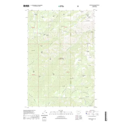 2020 Pinkham Butte2020 Print · USGSAsotin County high country is mapped here during the 2020s, showing a land of deep canyons and named ridges within the Umatilla National Forest. Researchers can trace old mountain routes like Pinkham Trail and Smoothing Iron to remote points such as Jump Off Joe Point.
 - 2020 Map of Peola, 2020 Print
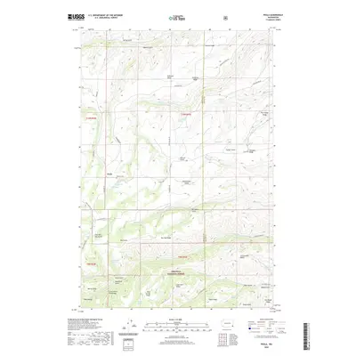 2020 Peola2020 Print · USGSPeola and the high plateaus of Garfield County are documented in this recent survey of the Blue Mountains. Genealogists and local historians can trace family-named landmarks like Pioneer Cem and remote springs such as Williams Spring and Wolf Spring.
 - 2020 Map of Diamond Peak, 2020 Print
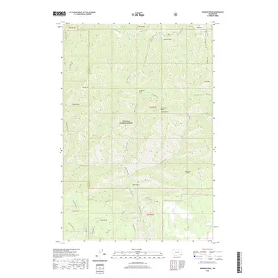 2020 Diamond Peak2020 Print · USGSThe high ridges of Garfield County are captured here in the modern era, showing the intricate trail systems within the Umatilla National Forest. Outdoor historians can trace historical routes like Packer's Trail and Mt Misery Trail while identifying remote landmarks like Bald Butte.
 - 2020 Map of Eden Ridge, 2020 Print
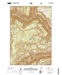 2020 Eden Ridge2020 Print · USGSWallowa County and the Washington borderlands are captured here in the twenty-first century as part of the Umatilla National Forest. Genealogists and local historians can locate the Eden Cem and trace old routes like the Hoodoo Trail and Wenaha River Trail.
 - 2020 Map of Troy, 2020 Print
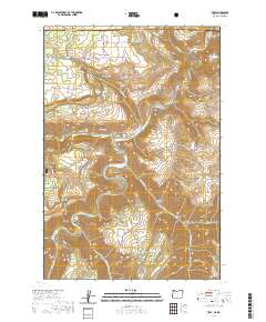 2020 Troy2020 Print · USGSThe Oregon-Washington borderlands near Troy are defined by the convergence of major rivers and high ridge country. Genealogists and hikers can trace old routes and local landmarks like Bartlett Cem, Grouse Flat, and the remote Wenaha River Trail.
Showing maps 1-25 of 50
Top cities of Garfield County
Frequently asked questions
- What are the different types of historical maps available for Garfield County?
- What is the oldest map of Garfield County?
- Where can I purchase historical maps of Garfield County for my home or office?
- Where can I download high-res historical maps of Garfield County?
- Are there historical topographic maps available for Garfield County?
- Is there historical aerial imagery available for Garfield County?
- Where are historical maps of Garfield County sourced from?