2000s (21st Century) Maps of Garfield County, Washington
Explore 125 historic maps of Garfield County from the 2000s (21st Century). These maps offer a rare glimpse into what life looked like during the 2000s — showing old roads, neighborhoods, homes, and landmarks that have changed or disappeared over time.
Whether you're researching your family's past, planning a metal detecting trip, or studying how Garfield County's landscape evolved across the 2000s, these high-resolution maps are a powerful tool for exploring the history of this region.
- Focus on a specific era: All maps on this page are from the 2000s, giving you a focused view of this time period.
- See what’s changed: Compare century-old streets, trails, and buildings to today's modern landscape using overlays and satellite layers.
- Research with precision: Use these maps for genealogy, historical research, land use analysis, or educational projects.
- View, download, or print: Maps are fully viewable online in high resolution, and can be downloaded or printed for your own records.
Start exploring Garfield County's history through authentic maps from the 2000s. This is your window into the past.
Garfield County, WA maps
(125)- 2011 Map of Gould City, 2011 Print
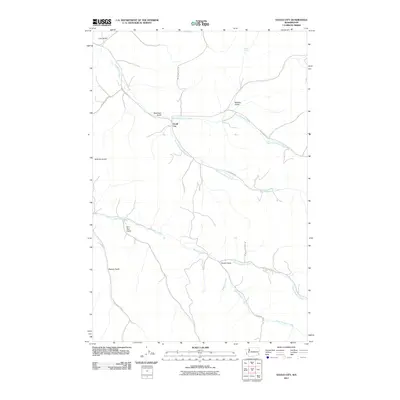 2011 Gould City2011 Print · USGSGould City and its surrounding Garfield County canyonlands are shown in detail as they appeared in the early 2010s. Researchers can trace family-named landmarks and water sources including Wild Horse Hill, Coyote Spring, and the winding Deadman Creek.
 - 2011 Map of Kirby, 2011 Print
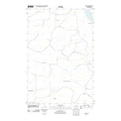 2011 Kirby2011 Print · USGSGarfield County’s high plateau and deep canyon breaks are captured in this early 2010s survey of southeastern Washington. Researchers can trace rural lineages through the Mayview and Kirby Cemeteries or locate the Dye Seed Airport.
 - 2011 Map of Silcott Island, 2011 Print
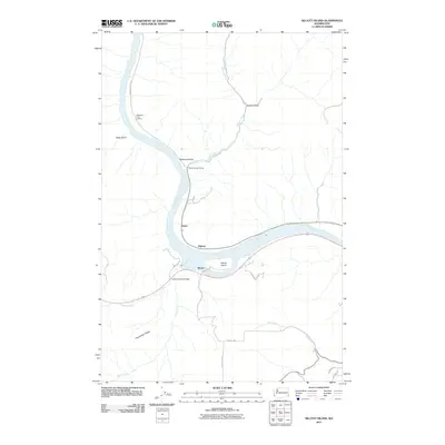 2011 Silcott Island2011 Print · USGSThe Snake River corridor in southeastern Washington comes into sharp focus during the early twenty-first century. Researchers can trace the riverfront at Alpowa and Silcott, or locate landmarks like the Indian Timothy Bridge and Nisqually John Landing.
 - 2011 Map of Pomeroy, 2011 Print
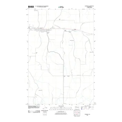 2011 Pomeroy2011 Print · USGSPomeroy and the Pataha Creek valley are shown here in the early twenty-first century as established centers of Garfield County life. Researchers can locate specific family plots at Holy Rosary Cemetery or trace the rural road networks connecting Berlin, Pataha, and Dutch Flat.
 - 2011 Map of Alpowa Ridge, 2011 Print
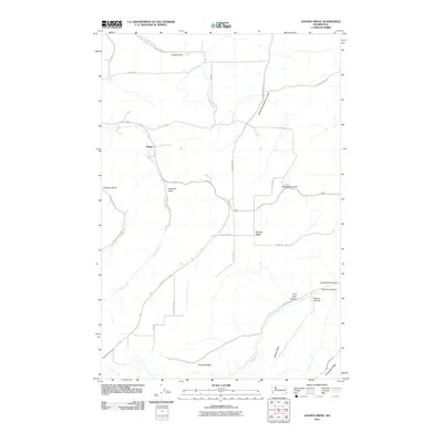 2011 Alpowa Ridge2011 Print · USGSGarfield County’s high plateau country is documented here in the early 2000s, showing a landscape defined by deep canyons and prominent ridges. Genealogists and local historians can trace the rural infrastructure around Mentor and family-named landmarks like Darland Ridge, Palmer Canyon, and Smith Gulch.
 - 2011 Map of Almota, 2011 Print
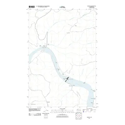 2011 Almota2011 Print · USGSThe Snake River corridor in southeastern Washington is captured here in the early twenty-first century, showing the impact of modern water management. Researchers can locate remote burial sites at Moys Cemetery, trace the roads near Mayview, and see aviation and river infrastructure at Lower Granite State Airport.
 - 2011 Map of Ping, 2011 Print
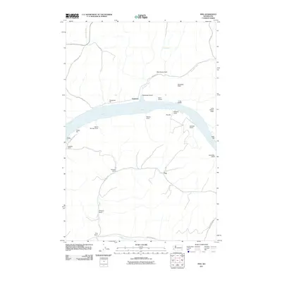 2011 Ping2011 Print · USGSThe Snake River canyon area near Ping and Penawawa is shown in detail during the early 2010s. Researchers can trace the river's historical landings and bars like Willow Landing, Penawawa Bar, and Swift Bar along the shores of Lake Bryan.
 - 2011 Map of Dodge, 2011 Print
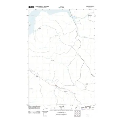 2011 Dodge2011 Print · USGSGarfield County’s agricultural and river-port landscape comes into focus during this early twenty-first-century survey. Genealogists and local historians can trace family land around Dodge, the Pataha Valley Grange, and riverfront sites like the Port of Garfield.
 - 2011 Map of Central Ferry, 2011 Print
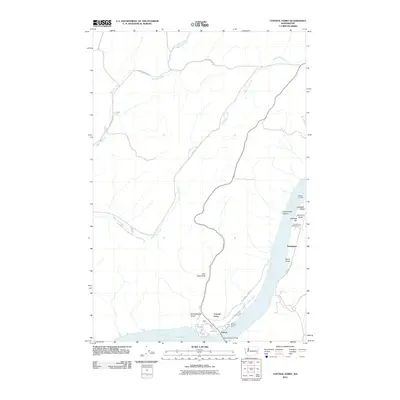 2011 Central Ferry2011 Print · USGSThe Snake River crossing at Central Ferry is captured here in the early twenty-first century, showing the intersection of river transport and plateau agriculture. Researchers can trace the layout of the Central Ferry Research Farm and old landing sites like Willow Landing or Hastings Bar.
 - 2011 Map of Colton, 2011 Print
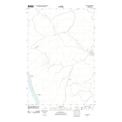 2011 Colton2011 Print · USGSSoutheast Whitman County is shown here in the early 2000s, where the Palouse hills begin their descent toward the river. Genealogists and historians can trace family-named routes and rural sites like Nesterbank Ranch, Union Flat Creek, and the streets of Colton.
 - 2011 Map of Turner, 2011 Print
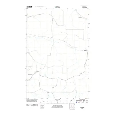 2011 Turner2011 Print · USGSColumbia County agriculture and small-town life are preserved in this early twenty-first-century record of the rural Inland Northwest. Genealogists can locate family sites near the Turner Cemetery, Covello Cemetery, and the riverside community of Marengo.
 - 2011 Map of Zumwalt, 2011 Print
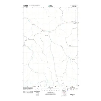 2011 Zumwalt2011 Print · USGSGarfield County's agricultural heartland is documented in this 2011 survey, showing the deep gulches and river valleys as they were at the start of the new millennium. Researchers can locate the Owsley Cemetery and trace the paths between settlements like Zumwalt and Marengo.
 - 2011 Map of Granite Point, 2011 Print
 2011 Granite Point2011 Print · USGSThe Snake River breaks in Whitman County are captured here in the early twenty-first century, showing the dramatic transition from high plateaus to the river canyon. Researchers can trace landforms like Granite Point and the small settlement of Bishop along the shores of Lower Granite Lake.
 - 2011 Map of Falling Springs, 2011 Print
 2011 Falling Springs2011 Print · USGSGarfield County's upland drainages and ridges are captured here during the early twenty-first century. Researchers can trace historic access routes along Meadowcreek Rd and locate vital water sources at Falling Springs and Twin Springs.
 - 2011 Map of Stember Creek, 2011 Print
 2011 Stember Creek2011 Print · USGSAsotin County’s high ridge country is captured here in the early 21st century, showing a landscape defined by deep canyons and isolated settlements. Researchers can trace the drainages of Alpowa Creek and Stember Creek or locate landmarks like Valentine and Flerchinger Ridge.
 - 2011 Map of Hopkins Ridge, 2011 Print
 2011 Hopkins Ridge2011 Print · USGSThe Tucannon River valley is shown here in the early twenty-first century, dominated by a unique chain of managed lakes and fisheries. Researchers can trace the water systems and mountain roads connecting Wooten State Fish Hatchery, Hopkins Ridge, and Watson Lake.
 - 2011 Map of Stentz Spring, 2011 Print
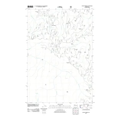 2011 Stentz Spring2011 Print · USGSGarfield County's high ridges and spring-fed canyons are captured here in the decade before 2011. Trace the networks of the Tucannon River and Pataha Creek past landmarks like Clearwater Lookout and historic sites such as Powell Camp.
 - 2011 Map of Peola, 2011 Print
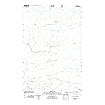 2011 Peola2011 Print · USGSPeola and the surrounding Garfield County highlands are shown here in the early twenty-first century, revealing a landscape of remote ridges and mountain springs. Researchers can find the historic Pioneer Cemetery near Peola and trace water features like Moonshine Spring and Blue Lake.
 - 2011 Map of Saddle Butte, 2011 Print
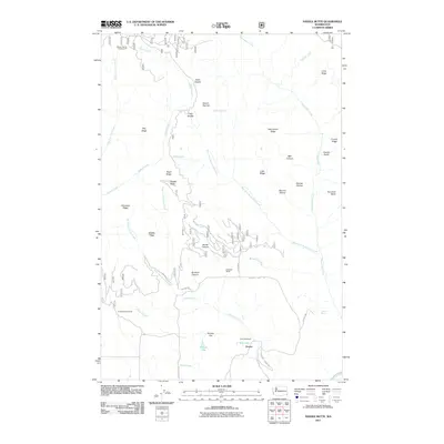 2011 Saddle Butte2011 Print · USGSAsotin County ranching life and rugged high-country terrain are captured here in the early 21st century. Researchers can locate specific family-named sites like Cecil Slaybaugh or the Sunbeam Ranch, and trace old routes through Go Devil Canyon.
 - 2011 Map of Diamond Peak, 2011 Print
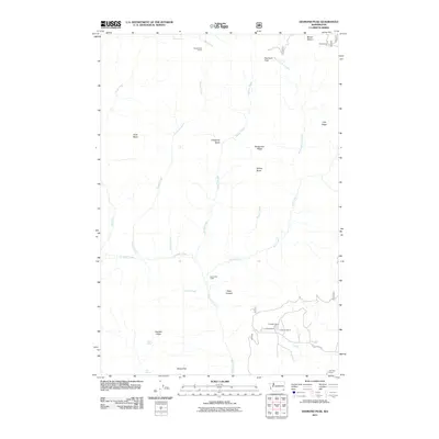 2011 Diamond Peak2011 Print · USGSGarfield County ranching and high-country landmarks are documented in this early twenty-first-century survey of the Blue Mountains region. Researchers can locate specific family holdings such as the J R Evans Ranch or trace trails past First Creek Cabin and Kelly Camp.
 - 2011 Map of Rose Springs, 2011 Print
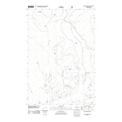 2011 Rose Springs2011 Print · USGSGarfield County’s high ridge country comes into focus in this modern era survey of the mountain territory surrounding Rose Springs. Trace the network of historic water sources like Lanzie Spring and Government Spring or find early forest sites at Sawmill Spring.
 - 2011 Map of Pinkham Butte, 2011 Print
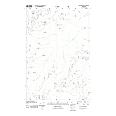 2011 Pinkham Butte2011 Print · USGSAsotin County’s high country is captured here in the early twenty-first century, showing a landscape of named ridges and remote springs. Researchers can locate the Horak Ranch and trace access roads to Wickiup Campground and Fourth of July Spring.
 - 2011 Map of Wades Bar, 2011 Print
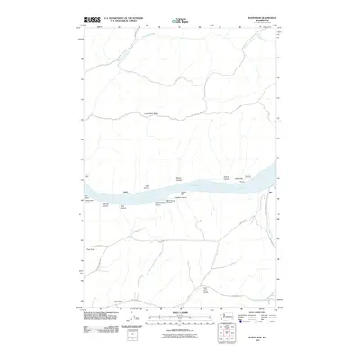 2011 Wades Bar2011 Print · USGSThe Snake River canyon in Whitman County is shown here during the early twenty-first century as the waters of Lake Bryan fill the valley. Researchers can trace the winding paths of Penawawa Rd and locate old riverside spots like Swift and Illia.
 - 2011 Map of Eden Ridge, 2011 Print
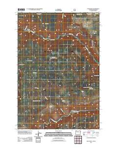 2011 Eden Ridge2011 Print · USGSWallowa County’s high plateaus and river canyons are detailed here as they appeared in the early twenty-first century. Researchers can locate the Eden Community Hall and Eden Cemetery, or trace access to remote sites like Hoodoo Lookout Tower and Cecil Bott Ranch.
 - 2011 Map of Troy, 2011 Print
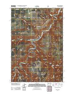 2011 Troy2011 Print · USGSThe confluence of the Grande Ronde and Wenaha rivers defines this Wallowa County landscape in the early twenty-first century. Genealogists and local historians can trace mountain settlements like Bartlett and Powwatka or locate family sites near the Bartlett Cemetery.
Showing maps 1-25 of 125
Top cities of Garfield County
Frequently asked questions
- What are the different types of historical maps available for Garfield County?
- What is the oldest map of Garfield County?
- Where can I purchase historical maps of Garfield County for my home or office?
- Where can I download high-res historical maps of Garfield County?
- Are there historical topographic maps available for Garfield County?
- Is there historical aerial imagery available for Garfield County?
- Where are historical maps of Garfield County sourced from?