Old Maps of Wilson Creek, Washington for Metal Detecting
Plan your next treasure hunt with 17 historic maps of Wilson Creek. Find old homesites, ghost towns, trails, and gathering spots that may be lost to time — perfect for identifying promising metal detecting locations.
- Locate forgotten sites: Uncover places like long-lost settlements, abandoned rail lines, or gathering spots.
- Plan better hunts: Use map overlays combined with LiDAR or satellite views to narrow in on historically rich areas.
- Made for detectorists: Thousands of hobbyists use these maps to discover relics, coins, and hidden history.
Use these historic maps to boost your research and find new opportunities beneath the surface of Wilson Creek.
Wilson Creek, WA maps
(17)- 1953 Map of Ritzville, 1966 Print
 1953 Ritzville1966 Print · USGSEastern Washington was undergoing a massive agricultural and industrial transformation in the mid-fifties as irrigation from the Grand Coulee Dam reached the plateau. Researchers can trace the mid-century rail network of the Great Northern and locate vital local sites like Larson Air Force Base and Odessa.3 unique versions available
 - 1956 Map of Wilson Creek NW, 1957 Print
 1956 Wilson Creek NW1957 Print · USGSEastern Washington at the mid-century shows a landscape shaped by water and rail as the Great Northern railroad tracks pass the settlement of Wilson Creek. You can trace early infrastructure and family landmarks like the Long Lake Dam and Bohnet Road.2 unique versions available
 - 1956 Map of Wilson Creek, 1958 Print
 1956 Wilson Creek1958 Print · USGSThe rail and water infrastructure of Grant County is meticulously detailed during the mid-fifties, centered on the hub of Wilson Creek. Researchers can trace the path of the Great Northern railroad alongside the Brook Lake State Game Reserve and the Long Lake Dam.2 unique versions available
 - 1959 Map of Ritzville
 1959 Ritzville1959 Print · USGSEastern Washington in the late fifties reveals a landscape transformed by massive irrigation projects and postwar growth. Genealogists and historians can trace rail-line communities from Ritzville to Davenport and locate landmarks like Larson Air Force Base and Telford Station.
 - 1965 Map of Ritzville
 1965 Ritzville1965 Print · USGSCentral Washington during the mid-sixties shows a landscape shaped by massive irrigation projects and the Cold War. Genealogists and historians can trace rail-town life and military presence through Ephrata Air Base, the Telford Station, and local schools.
 - 1982 Map of Moses Lake, 1983 Print
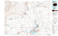 1982 Moses Lake1983 Print · USGSThe Columbia Basin during the early eighties shows a landscape transformed by large-scale irrigation and military aviation. Researchers can trace the development of Larson Air Force Base or locate vanished rail stops along the Burlington Northern near Ephrata and Quincy.2 unique versions available
 - 1986 Map of Wilson Creek
 1986 Wilson Creek1986 Print · USGSThe town of Wilson Creek and the surrounding coulees are documented here in the mid-1980s, showcasing the region's complex water and transit network. Researchers can trace the path of Crab Creek, locate the local Landing Strip, and identify the numerous Gravel Pits and Alkali Flats that define the valley floor.
 - 2011 Map of Wilson Creek NW, 2011 Print
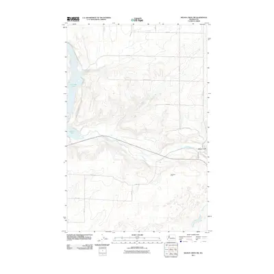 2011 Wilson Creek NW2011 Print · USGSGrant County's high plateau and coulee country are captured here in the early twenty-first century as agricultural roads bridge the dramatic descent to the creek floor. Local historians can trace the vicinity of Wilson Creek and West Wilson Creek along the winding path of Crab Creek.
 - 2011 Map of Wilson Creek, 2011 Print
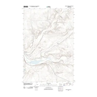 2011 Wilson Creek2011 Print · USGSWilson Creek and the surrounding Grant County coulee country are captured in this early twenty-first-century survey. Researchers can trace local infrastructure through Bennett Dam, follow the course of Crab Creek, and locate the Wilson Creek Airport.
 - 2014 Map of Wilson Creek NW, 2014 Print
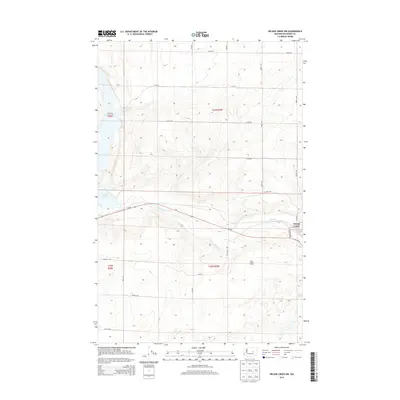 2014 Wilson Creek NW2014 Print · USGSThe high plateau of Grant County is captured here in the early twenty-first century, showing the settlement and coulee landscape. Trace the riparian corridor of Crab Creek past Wilson Creek and Brook Lake to see how roads and water shaped this agricultural region.
 - 2014 Map of Wilson Creek, 2014 Print
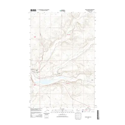 2014 Wilson Creek2014 Print · USGSIn the mid-2010s, this area of Grant County showcases the confluence of rail-side settlements and the winding Crab Creek. Genealogists and researchers can trace the street grids of Wilson Creek and Krupp, alongside rural landmarks like the Wilson Creek Airport.
 - 2017 Map of Wilson Creek, 2017 Print
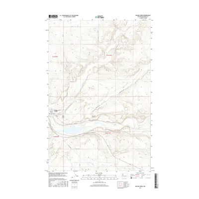 2017 Wilson Creek2017 Print · USGSThe town of Wilson Creek is shown here in the mid-2010s, maintaining its historical position at the junction of rail and water. Local researchers can trace the neighborhood streets of Spokane St and Kathy Blvd or locate nearby Soda Lake and the BNSF Railway corridor.
 - 2017 Map of Wilson Creek NW, 2017 Print
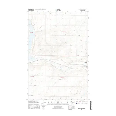 2017 Wilson Creek NW2017 Print · USGSGrant County's high desert plateaus and deep coulees are captured in this recent survey. Local historians can trace the intersection of water and transport through features like Billy Clapp Lake, Wilson Creek, and the paths of Crab Creek.
 - 2020 Map of Wilson Creek, 2020 Print
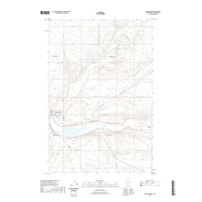 2020 Wilson Creek2020 Print · USGSThe eastern scablands of Grant County are shown here in the modern era, centered on the historic rail town of Wilson Creek. Researchers can trace the local street grid near Railroad St or follow the paths of Crab Creek and the remote Soda Lake.
 - 2020 Map of Wilson Creek NW, 2020 Print
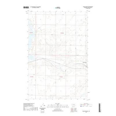 2020 Wilson Creek NW2020 Print · USGSGrant County’s coulee-carved landscape is shown here in the contemporary era as it transitions toward the settlement of Wilson Creek. Researchers can trace the rugged shoreline of Billy Clapp Lake and the winding path of Crab Creek.
 - 2023 Map of Wilson Creek, 2023 Print
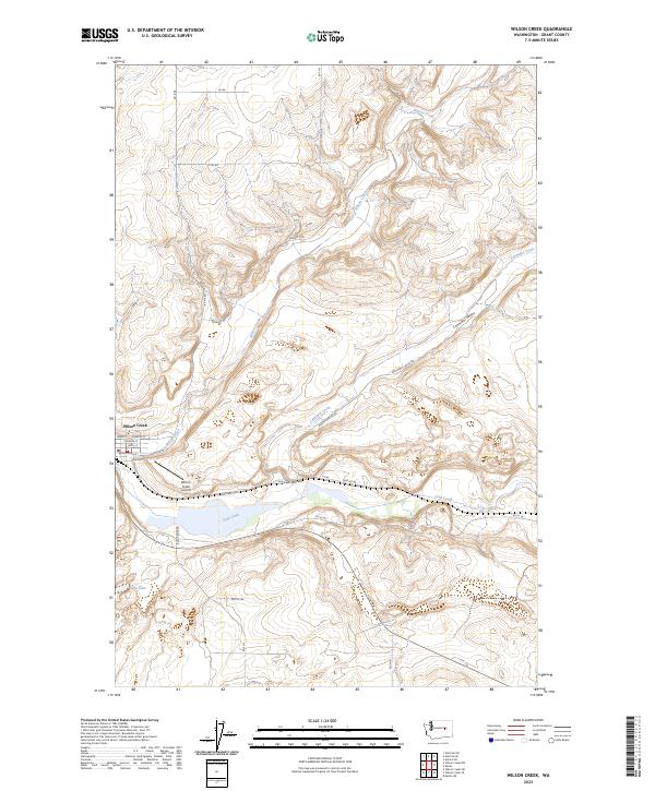 2023 Wilson Creek2023 Print · USGSThe town of Wilson Creek serves as a hub for this Eastern Washington landscape during the early twenty-first century. Researchers can trace the layout of the local street grid near Wilson Creek Airport or follow the waters of Crab Creek and Soda Lake.
 - 2023 Map of Wilson Creek NW, 2023 Print
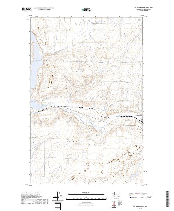 2023 Wilson Creek NW2023 Print · USGSThe arid coulee country of Grant County is captured here in its modern form, centered on the settlement of Wilson Creek. Genealogists and local historians can trace family locations near Wilson Creek Cem or along the winding course of Crab Creek.
End of results
Showing maps 1-17 of 17
Top cities near Wilson Creek
Frequently asked questions
- What are the different types of historical maps available for Wilson Creek?
- What is the oldest map of Wilson Creek?
- Where can I purchase historical maps of Wilson Creek for my home or office?
- Where can I download high-res historical maps of Wilson Creek?
- Are there historical topographic maps available for Wilson Creek?
- Is there historical aerial imagery available for Wilson Creek?
- Where are historical maps of Wilson Creek sourced from?