2020s Maps of Grays Harbor County, Washington
Explore 112 historic maps of Grays Harbor County from the 2020s. These maps offer a rare glimpse into what life looked like during the 2020s — showing old roads, neighborhoods, homes, and landmarks that have changed or disappeared over time.
Whether you're researching your family's past, planning a metal detecting trip, or studying how Grays Harbor County's landscape evolved across the 2020s, these high-resolution maps are a powerful tool for exploring the history of this region.
- Focus on a specific era: All maps on this page are from the 2020s, giving you a focused view of this time period.
- See what’s changed: Compare century-old streets, trails, and buildings to today's modern landscape using overlays and satellite layers.
- Research with precision: Use these maps for genealogy, historical research, land use analysis, or educational projects.
- View, download, or print: Maps are fully viewable online in high resolution, and can be downloaded or printed for your own records.
Start exploring Grays Harbor County's history through authentic maps from the 2020s. This is your window into the past.
Grays Harbor County, WA maps
(112)- 2020 Map of Westport, 2020 Print
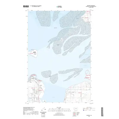 2020 Westport2020 Print · USGSThe Grays Harbor entrance and its surrounding peninsulas are captured here in the contemporary era. Trace the streets of Westport and Ocean Shores, or locate landmarks like the Westport Airport and the marshes of Redman Slough.
 - 2020 Map of Point Brown, 2020 Print
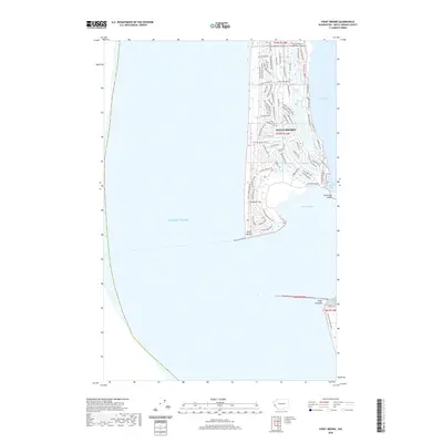 2020 Point Brown2020 Print · USGSThe coastal peninsula of Ocean Shores is shown in detail during its modern development between the harbor and the sea. Researchers can trace the layout of residential loops, the position of the Ocean Shores Municipal Airport, and the extent of Duck Lake.
 - 2020 Map of Grayland, 2020 Print
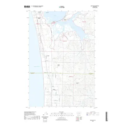 2020 Grayland2020 Print · USGSThe Washington coast and the southern reaches of the Grays Harbor estuary are captured here in the 2020s. Researchers can trace the layout of seaside communities like Grayland and Cohassett Beach, or locate the curiously named Grayland Intergalactic Airport near the Pacific shore.
 - 2020 Map of Copalis Beach, 2020 Print
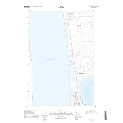 2020 Copalis Beach2020 Print · USGSThe Grays Harbor coastline appears here in the contemporary era, showcasing the residential growth of Ocean Shores. Genealogists and researchers can trace local landmarks from Copalis Beach south to the Oyehut Channel and Hogans Corner.
 - 2020 Map of Carlisle, 2020 Print
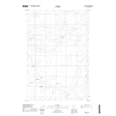 2020 Carlisle2020 Print · USGSSettlements in the coastal river valleys of Grays Harbor County appear in high detail at the start of the 2020s. Trace the local geography around Carlisle, Onslow, and Damon Lake, or follow the winding courses of the Copalis River and Humptulips River.
 - 2020 Map of Queets OE W, 2020 Print
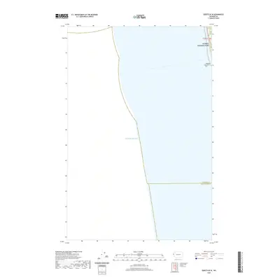 2020 Queets OE W2020 Print · USGSThe Washington coast and the boundary of Olympic National Park are captured here in the years before the new decade. Researchers can trace the path of Highway 101 as it winds past the coastal Kalaloch Rocks and crosses the line between Jefferson and Grays Harbor counties.
 - 2020 Map of Copalis Crossing, 2020 Print
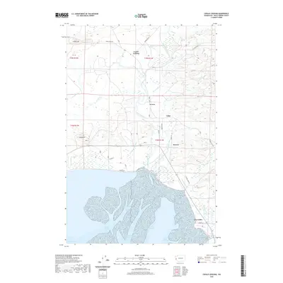 2020 Copalis Crossing2020 Print · USGSGrays Harbor County’s coastal wetlands and timberlands are captured here in the contemporary era. Genealogists and local historians can trace the roads and waterways connecting Copalis Crossing, Newton, and the salt marshes of Grays Harbor and Chenois Creek.
 - 2020 Map of Shale Slough, 2020 Print
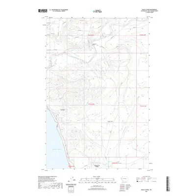 2020 Shale Slough2020 Print · USGSThe Quinault Indian Reservation coastline comes into focus in this recent survey of Grays Harbor County. You can trace the complex network of tribal roads and waterways between Santiago and Qui-nai-elt Village, including the Chow Chow Bridge and Baker Prairie.
 - 2020 Map of Tunnel Island, 2020 Print
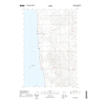 2020 Tunnel Island2020 Print · USGSThe Olympic Peninsula coast and Quinault Reservation are captured here in the contemporary era, where the land meets the sea at Tunnel Island. Researchers can trace the rugged shoreline from Elephant Rock to Pratt Cliff and follow interior routes like BIA RD 7000.
 - 2020 Map of O'Took Prairie, 2020 Print
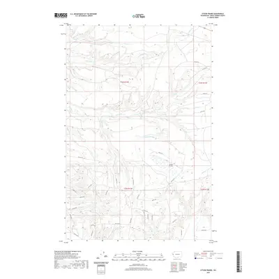 2020 O'Took Prairie2020 Print · USGSThe Grays Harbor County backcountry is defined by the Raft River watershed and its network of timber access roads. Researchers can trace modern forest routes like BIA RD 7500 and Baird 7325 across the clearing at O'Took Prairie.
 - 2020 Map of Queets, 2020 Print
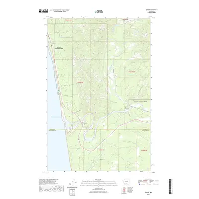 2020 Queets2020 Print · USGSThe Olympic Peninsula coast and the lower Queets River valley are shown here in detail during the early 21st century. Researchers can trace the coastal layout of Kalaloch or the river-bank settlement of Queets, as well as inland landmarks like Moses Prairie and the Clearwater River.
 - 2020 Map of Macafee Hill, 2020 Print
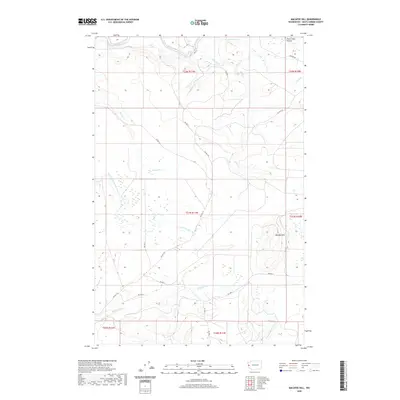 2020 Macafee Hill2020 Print · USGSGrays Harbor County in the modern era is a landscape of complex coastal rivers and managed forest lands. Researchers can trace the drainage of the Quinault River and Moclips River or locate landmarks like Macafee Hill and Chow Chow Prairie.
 - 2020 Map of Taholah, 2020 Print
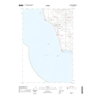 2020 Taholah2020 Print · USGSThe Quinault Indian Reservation coastline comes into sharp focus during the early twenty-first century as the river meets the sea. Researchers can trace the layout of Taholah and identify coastal landmarks like Point Grenville, Cape Elizabeth, and the Quinault Road Bridge.
 - 2020 Map of Matlock, 2020 Print
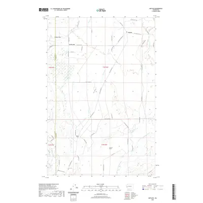 2020 Matlock2020 Print · USGSThe Mason County timberlands and river valleys come into focus in the 2020s, showing the rural communities of Matlock and Deckerville. Researchers can trace local history at Turnow Cem or explore the landscape of Carstairs Prairie and Cranberry Marsh.
 - 2020 Map of Aberdeen Gardens, 2020 Print
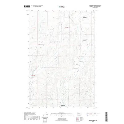 2020 Aberdeen Gardens2020 Print · USGSGrays Harbor County’s river valleys and northern timberlands are documented here in the early twenty-first century. Researchers can trace rural settlement patterns near Aberdeen Gardens and along the Wishkah River and Middle Fork Hoquiam River.
 - 2020 Map of Salmon River West, 2020 Print
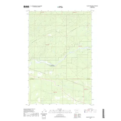 2020 Salmon River West2020 Print · USGSCoastal Washington forests and protected river systems are meticulously detailed in this recent survey. Local researchers can trace the course of the Queets River through Lyman Rapids and locate inland access via Bia Rd 9270.
 - 2020 Map of Thimble Mountain, 2020 Print
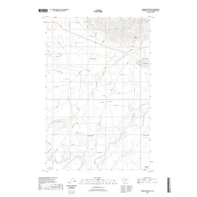 2020 Thimble Mountain2020 Print · USGSGrays Harbor County at the dawn of the 2020s shows a complex web of mountain drainages and tribal access roads. Researchers can trace the winding Quinault River or locate the higher elevations of Thimble Mtn and Chow Chow Prairie.
 - 2020 Map of Moclips, 2020 Print
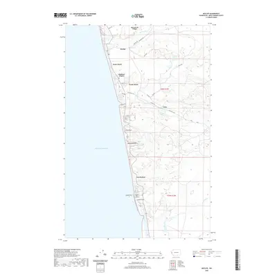 2020 Moclips2020 Print · USGSCoastal Grays Harbor County is captured here in the modern era, showing the string of beach communities from Moclips to Iron Springs. Trace the development of Pacific Beach and Aloha, or locate landmarks like the Copalis State Airport and Copalis Head.
 - 2020 Map of Wynoochee Valley NW, 2020 Print
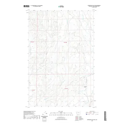 2020 Wynoochee Valley NW2020 Print · USGSThe Grays Harbor County backcountry is defined by its intricate river systems in this contemporary survey. Historians and researchers can trace the divergent paths of the Wishkah River and Wynoochee River or locate rural holdings along Wishkah Rd.
 - 2020 Map of Prices Peak, 2020 Print
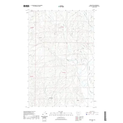 2020 Prices Peak2020 Print · USGSMontesano and the Satsop River valley are mapped here in the early twenty-first century, showing the meeting of forest ridges and river lowlands. Genealogists and locals can trace family lands near Montesano and Brady or explore the drainage of Sylvia Lake and Metcalf Slough.
 - 2020 Map of Kamilche Valley, 2020 Print
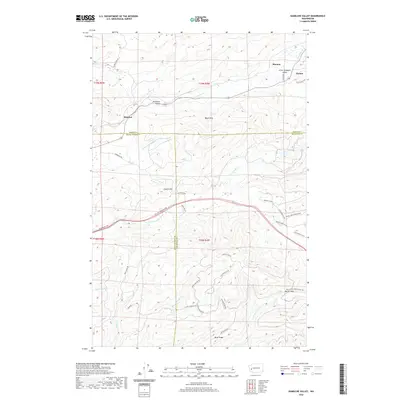 2020 Kamilche Valley2020 Print · USGSThe Kamilche Valley and the northern reaches of the Capitol Forest are shown here as they appeared in 2020. Genealogists and local historians can trace family-named sites like Hicklin Hill and the small communities of Stimson, Forbes, and Marmac.
 - 2020 Map of Railroad Camp, 2020 Print
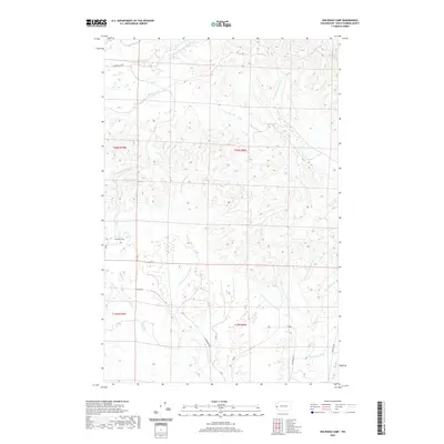 2020 Railroad Camp2020 Print · USGSGrays Harbor County in the early twenty-first century reveals a landscape shaped by the headwaters of the Humptulips, Hoquiam, and Wishkah rivers. Map collectors and researchers can trace the roads and waterways around Railroad Camp, Brittain Cr, and the Wishkah River.
 - 2020 Map of McCleary, 2020 Print
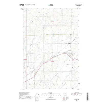 2020 McCleary2020 Print · USGSThe McCleary area of Washington is documented here as it entered the 2020s, showing the settled valleys and timberlands of the Grays Harbor border. Researchers can trace local landmarks like McCleary Pythian Cem, the Bear Valley Skyranch Airport, and the small settlement at Sine.
 - 2020 Map of Humptulips, 2020 Print
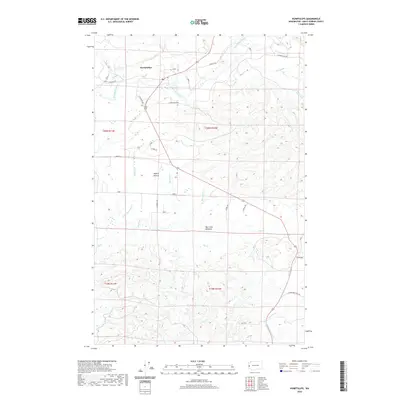 2020 Humptulips2020 Print · USGSGrays Harbor County at the start of the 2020s remains a landscape defined by the winding Humptulips River and coastal timberlands. Genealogists and local historians can trace family-named landmarks such as Larson Brothers Rd and the rural community of Humptulips.
 - 2020 Map of New London, 2020 Print
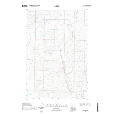 2020 New London2020 Print · USGSThe river forks north of Grays Harbor come into focus in this recent survey of the Washington coast. Researchers can trace the drainage of the West Fork and East Fork near New London or locate the site of the Hoquiam Water Works.
Showing maps 1-25 of 112
Top cities of Grays Harbor County
- Aberdeen historical maps
- Hoquiam historical maps
- Ocean Shores historical maps
- Montesano historical maps
- Elma historical maps
- Westport historical maps
See more
Frequently asked questions
- What are the different types of historical maps available for Grays Harbor County?
- What is the oldest map of Grays Harbor County?
- Where can I purchase historical maps of Grays Harbor County for my home or office?
- Where can I download high-res historical maps of Grays Harbor County?
- Are there historical topographic maps available for Grays Harbor County?
- Is there historical aerial imagery available for Grays Harbor County?
- Where are historical maps of Grays Harbor County sourced from?