2010s Maps of Jefferson County, Washington
Explore 195 historic maps of Jefferson County from the 2010s. These maps offer a rare glimpse into what life looked like during the 2010s — showing old roads, neighborhoods, homes, and landmarks that have changed or disappeared over time.
Whether you're researching your family's past, planning a metal detecting trip, or studying how Jefferson County's landscape evolved across the 2010s, these high-resolution maps are a powerful tool for exploring the history of this region.
- Focus on a specific era: All maps on this page are from the 2010s, giving you a focused view of this time period.
- See what’s changed: Compare century-old streets, trails, and buildings to today's modern landscape using overlays and satellite layers.
- Research with precision: Use these maps for genealogy, historical research, land use analysis, or educational projects.
- View, download, or print: Maps are fully viewable online in high resolution, and can be downloaded or printed for your own records.
Start exploring Jefferson County's history through authentic maps from the 2010s. This is your window into the past.
Jefferson County, WA maps
(195)- 2011 Map of Christmas Creek, 2011 Print
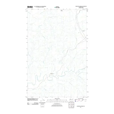 2011 Christmas Creek2011 Print · USGSThe Olympic Peninsula in the early twenty-first century is a landscape of managed forests and winding river systems. Researchers can trace the reach of the Clearwater River and its many tributaries, or locate the Clearwater Honor Camp and Copper Mine Bottom Campground.
 - 2011 Map of Port Townsend North, 2011 Print
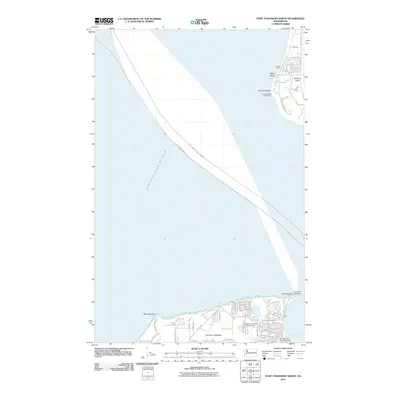 2011 Port Townsend North2011 Print · USGSThe northern reaches of the Olympic and Whidbey peninsulas meet at the entrance to the sound in the early 2010s. Maritime researchers and local historians can locate the Point Wilson Lighthouse, the Jefferson County Fairgrounds, and the quiet waters of Lake Pondilla.
 - 2011 Map of Bob Creek, 2011 Print
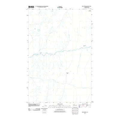 2011 Bob Creek2011 Print · USGSJefferson County’s wilderness near the Queets River is captured here in the early twenty-first century, showing a landscape shaped by water and high ridges. Researchers can trace remote backcountry landmarks like the Bob Creek Shelter and Pelton Creek Shelter or follow the course of Tshletshy Creek.
 - 2011 Map of Quillayute Prairie, 2011 Print
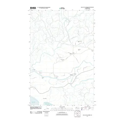 2011 Quillayute Prairie2011 Print · USGSThe confluence of the Sol Duc and Bogachiel Rivers defines this coastal landscape in the early twenty-first century. Genealogists and local historians can trace family roots through the Quillayute Cemetery or locate landmarks like Mora and Quillayute State Airport.
 - 2011 Map of Queets OE W, 2011 Print
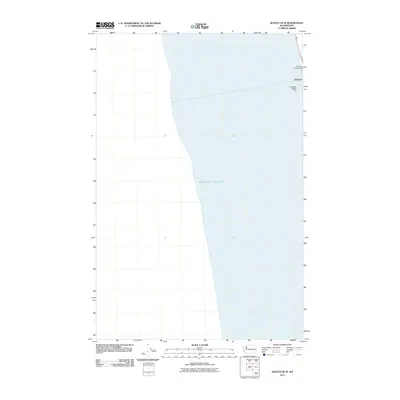 2011 Queets OE W2011 Print · USGSThe Olympic Peninsula shoreline comes into focus in this early twenty-first-century survey of the Washington coast. Trace the small settlement of Kalaloch and its proximity to the Pacific Ocean, including landmarks like Kalaloch Rocks and the Kalaloch Campground.
 - 2011 Map of Bogachiel Peak, 2011 Print
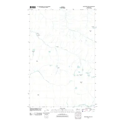 2011 Bogachiel Peak2011 Print · USGSThe high alpine basins and river headwaters of the Olympic Peninsula are shown here in the early twenty-first century. Hikers and researchers can trace the paths to Sol Duc Hot Springs, Sol Duc Falls, and remote outposts like Deer Lake Shelter.
 - 2011 Map of La Push, 2011 Print
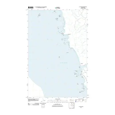 2011 La Push2011 Print · USGSThe Washington coast at the start of the 2010s is captured here, centered on the river-mouth village of La Push. Researchers can trace the maritime layout of the Quileute Marina and locate coastal landmarks like the Chilean Memorial Monument and James Island.
 - 2011 Map of McCartney Peak, 2011 Print
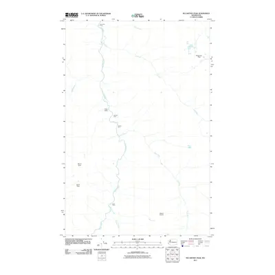 2011 McCartney Peak2011 Print · USGSThe Olympic backcountry near McCartney Peak is shown in this 2011 survey, focusing on the high-elevation river systems of the Elwha. Researchers can trace the locations of isolated forest sites like Chateau Camp, Tipperary Camp, and the course of the Lost River.
 - 2011 Map of Kimta Peak, 2011 Print
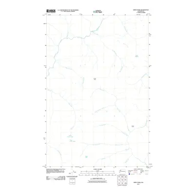 2011 Kimta Peak2011 Print · USGSJefferson County’s high wilderness is documented here in the early twenty-first century, showing a landscape defined by sharp peaks and alpine waters. Researchers can trace the remote headwaters of the Queets River and find landmarks like Kimta Peak and Lake Beauty.
 - 2011 Map of Salmon River West, 2011 Print
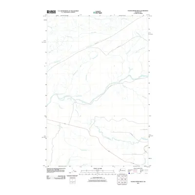 2011 Salmon River West2011 Print · USGSCoastal Washington's river valleys remained a vital timber and water resource during the early twenty-first century. Researchers can trace the complex drainage patterns of the Salmon River and Queets River alongside routes like BIA 9200 RD.
 - 2011 Map of Nordland, 2011 Print
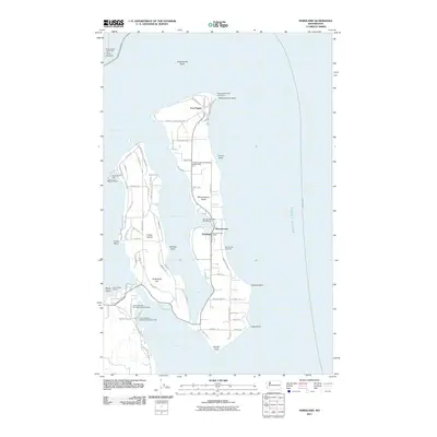 2011 Nordland2011 Print · USGSMarrowstone and Indian Islands are documented here in the early 2000s, showcasing the maritime infrastructure of the Puget Sound entrance. Researchers can trace land use at Fort Flagler, locate the Nordland Post Office, or identify family sites near Sound View Cemetery.
 - 2011 Map of Mount Christie, 2011 Print
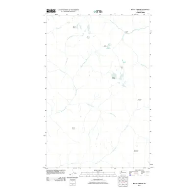 2011 Mount Christie2011 Print · USGSJefferson County’s interior high country is documented here at the start of the decade, showing the remote trails and peaks of the Olympic range. Backpackers and researchers can trace routes past Low Divide, Twelve Mile Shelter, and the shores of Lake Mary.
 - 2011 Map of Owl Mountain, 2011 Print
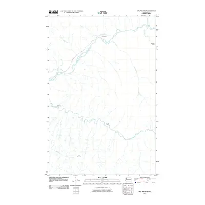 2011 Owl Mountain2011 Print · USGSJefferson County’s river valleys remain largely untamed in the early twenty-first century, centered on the glacial waters of the Hoh River. Hikers and researchers can trace the reach of the Upper Hoh Rd to remote sites like Big Flat Shelter and the South Fork Hoh Campground.
 - 2011 Map of Hoh Head, 2011 Print
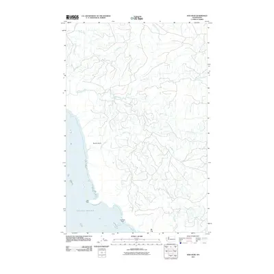 2011 Hoh Head2011 Print · USGSJefferson County's rugged shoreline meets the Pacific during the early twenty-first century, showing a landscape shaped by coastal tides and timber roads. Researchers can trace the layout of Oil City and locate landmarks like Hoh Head, Boulder Beach, and Diamond Rock.
 - 2011 Map of Anderson Creek, 2011 Print
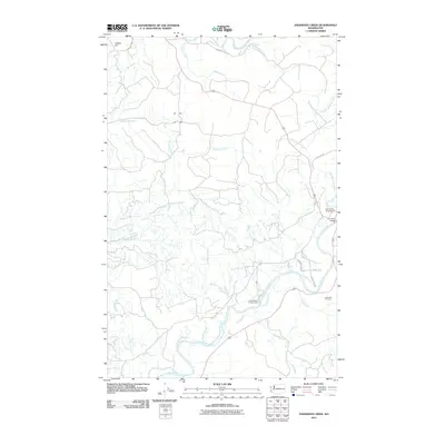 2011 Anderson Creek2011 Print · USGSCoastal Jefferson County's river valleys are documented here during the early twenty-first century, showing the established roads and camps of the Olympic Peninsula. You can locate old forestry routes and recreational landmarks like the Hoh River Bridge, Cottonwood Campground, and Lagitos Hill.
 - 2011 Map of Destruction Island, 2011 Print
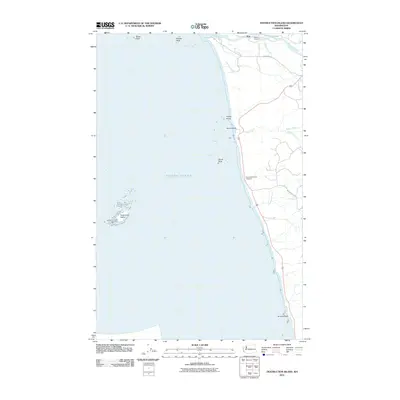 2011 Destruction Island2011 Print · USGSThe Jefferson County coast and the Hoh River estuary are captured in detail during the early 2010s. Maritime and local history enthusiasts can locate the Destruction Island Lighthouse and the small Fletcher Cemetery near the river.
 - 2011 Map of Toleak Point, 2011 Print
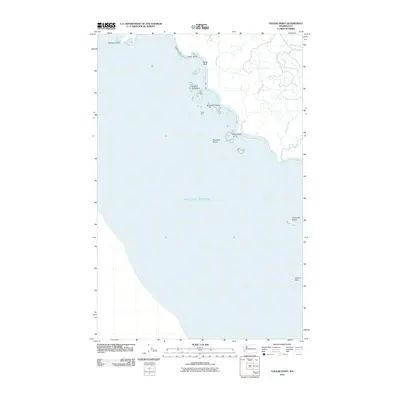 2011 Toleak Point2011 Print · USGSThe Jefferson County coast in the early twenty-first century remains a wilderness of maritime landmarks and creek mouths. Researchers can trace the rugged shoreline from Giants Graveyard past Toleak Point to the remote offshore reaches of Alexander Island.
 - 2011 Map of Queets, 2011 Print
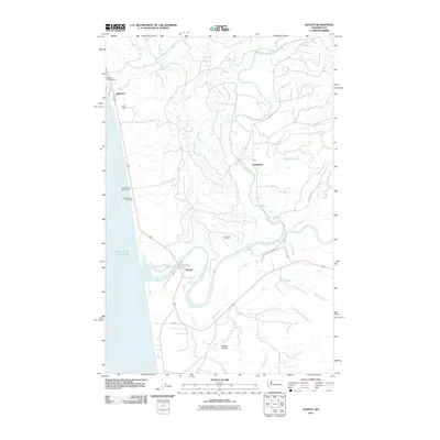 2011 Queets2011 Print · USGSThe Olympic Peninsula coastline and river valleys are captured here in 2011. Trace the waterways of the Queets River and find landmarks like Elk Creek Lookout and the Kalaloch campgrounds.
 - 2011 Map of Port Ludlow, 2011 Print
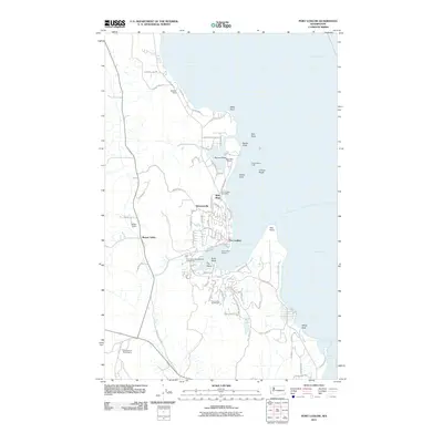 2011 Port Ludlow2011 Print · USGSThis part of the Olympic Peninsula highlights the maritime character of the area in the early twenty-first century. Researchers can trace the development of Port Ludlow, the industrial site at Mats Mats Quarry, and the residential layout around Teal Lake.
 - 2011 Map of Lofall, 2011 Print
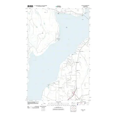 2011 Lofall2011 Print · USGSCoastal Kitsap County is surveyed here in the early 2000s, showing the intersection of maritime life and local industry. Genealogists and local historians can locate the Vinland Lutheran Church Cemetery, trace the Shine Quarry, and explore settlements like Bridgehaven.
 - 2011 Map of Hansville, 2011 Print
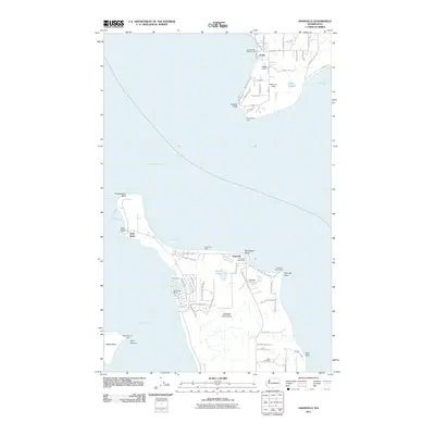 2011 Hansville2011 Print · USGSThe northern Kitsap Peninsula and the shores of Whidbey Island are documented here in the early twenty-first century. Local researchers can locate family landmarks and community sites like Hansville Cemetery, Point No Point Light, and the Hansville Post Office.
 - 2011 Map of Seabeck, 2011 Print
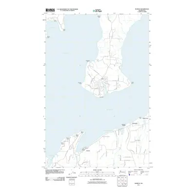 2011 Seabeck2011 Print · USGSThe eastern shores of Hood Canal and the tip of the Toandos Peninsula are captured in the early twenty-first century. Genealogists and local historians can trace waterfront properties near Seabeck, the community of Coyle, and landmarks like Camp Parsons.
 - 2011 Map of Quilcene, 2011 Print
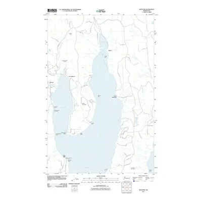 2011 Quilcene2011 Print · USGSCoastal Jefferson County comes into focus in the early 21st century as a landscape of peninsulas, bays, and small timber-country settlements. Map collectors and local historians can trace the shoreline of Dabob Bay to find Bees Mill, the Kimshan Ranch Airport, and Herb Beck Marina.
 - 2011 Map of Poulsbo, 2011 Print
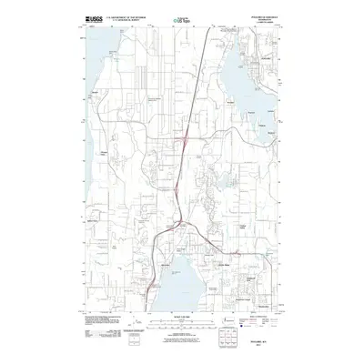 2011 Poulsbo2011 Print · USGSThe Kitsap Peninsula in the early twenty-first century shows a landscape shaped by maritime heritage and naval infrastructure. Local historians can trace family roots at the Silverdale Pioneer Cemetery or explore the waterfront history of Liberty Bay and Silverdale Siding.
 - 2011 Map of Port Townsend South, 2011 Print
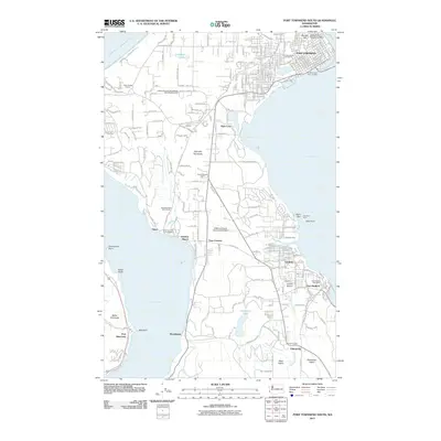 2011 Port Townsend South2011 Print · USGSThe southern Quimper Peninsula and its maritime corridors are detailed here in the early twenty-first century. Researchers can trace local development around Irondale and Port Hadlock or locate family landmarks near Adelma Beach and the Chimacum Valley.
Showing maps 1-25 of 195
Top cities of Jefferson County
- Port Townsend historical maps
- Port Hadlock historical maps
- Port Ludlow historical maps
- Brinnon historical maps
- Quilcene historical maps
Frequently asked questions
- What are the different types of historical maps available for Jefferson County?
- What is the oldest map of Jefferson County?
- Where can I purchase historical maps of Jefferson County for my home or office?
- Where can I download high-res historical maps of Jefferson County?
- Are there historical topographic maps available for Jefferson County?
- Is there historical aerial imagery available for Jefferson County?
- Where are historical maps of Jefferson County sourced from?