2020s Maps of Jefferson County, Washington
Explore 130 historic maps of Jefferson County from the 2020s. These maps offer a rare glimpse into what life looked like during the 2020s — showing old roads, neighborhoods, homes, and landmarks that have changed or disappeared over time.
Whether you're researching your family's past, planning a metal detecting trip, or studying how Jefferson County's landscape evolved across the 2020s, these high-resolution maps are a powerful tool for exploring the history of this region.
- Focus on a specific era: All maps on this page are from the 2020s, giving you a focused view of this time period.
- See what’s changed: Compare century-old streets, trails, and buildings to today's modern landscape using overlays and satellite layers.
- Research with precision: Use these maps for genealogy, historical research, land use analysis, or educational projects.
- View, download, or print: Maps are fully viewable online in high resolution, and can be downloaded or printed for your own records.
Start exploring Jefferson County's history through authentic maps from the 2020s. This is your window into the past.
Jefferson County, WA maps
(130)- 2020 Map of Toleak Point, 2020 Print
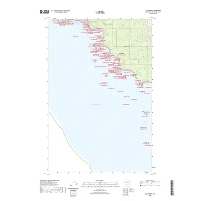 2020 Toleak Point2020 Print · USGSJefferson County’s wilderness coast is documented here in the early twenty-first century as it remains preserved within the national park system. Follow the Pacific NW National Scenic Trail past landmarks like Toleak Point and the Graveyard Giants.
 - 2020 Map of Kalaloch Ridge, 2020 Print
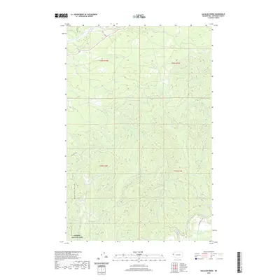 2020 Kalaloch Ridge2020 Print · USGSJefferson County’s coastal forests and protected wilderness are captured here in the contemporary era. Trace the river systems from the Hoh River to the Clearwater River, and find specific access points like Oil City Rd and NPS Road 1436.
 - 2020 Map of Anderson Creek, 2020 Print
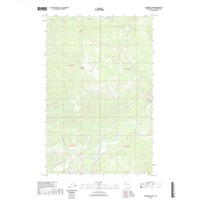 2020 Anderson Creek2020 Print · USGSThe Jefferson County coast and Olympic foothills appear here in the modern era, centered on the Hoh River valley. Researchers can trace the path of the Pacific NW National Scenic Trail or locate the site of the Lacy Oil Seep.
 - 2020 Map of Queets OE W, 2020 Print
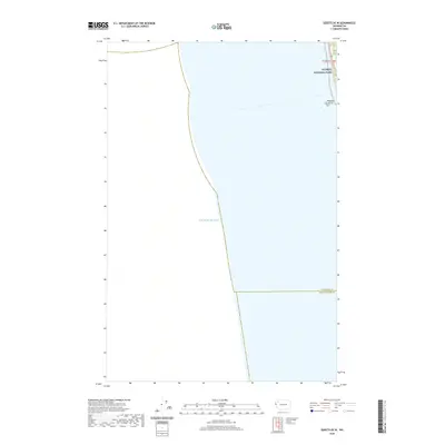 2020 Queets OE W2020 Print · USGSThe Washington coast and the boundary of Olympic National Park are captured here in the years before the new decade. Researchers can trace the path of Highway 101 as it winds past the coastal Kalaloch Rocks and crosses the line between Jefferson and Grays Harbor counties.
 - 2020 Map of Winfield Creek, 2020 Print
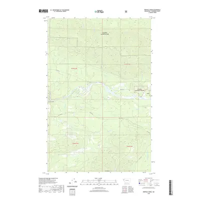 2020 Winfield Creek2020 Print · USGSThe Hoh River valley and the Olympic Peninsula's timberlands are documented in this 2020 survey of Jefferson County. Researchers can trace forest management routes and wilderness boundaries near Mt Octopus, the Hoh River, and the Hoh River Bridge.
 - 2020 Map of Quillayute Prairie, 2020 Print
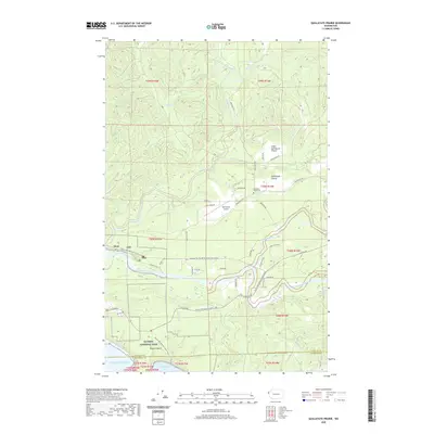 2020 Quillayute Prairie2020 Print · USGSCoastal Washington forests and river confluences meet at the Pacific edge in this recent study of the Olympic Peninsula. Genealogists and hikers can trace the Quillayute Prairie Cem or follow the Pacific NW National Scenic Trail through Mora.
 - 2020 Map of Forks, 2020 Print
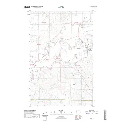 2020 Forks2020 Print · USGSForks and the surrounding Olympic Peninsula river valleys are documented here during the early twenty-first century. Researchers can trace the layout of Forks, locate the Forks Airport, and follow the winding courses of the Sol Duc River and Calawah River.
 - 2020 Map of Queets, 2020 Print
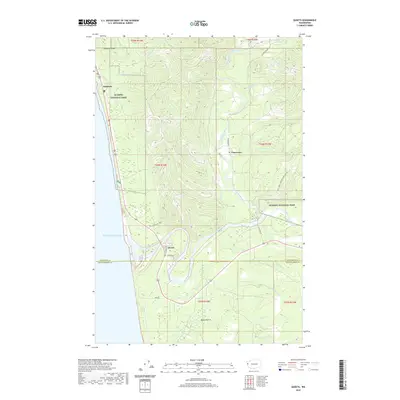 2020 Queets2020 Print · USGSThe Olympic Peninsula coast and the lower Queets River valley are shown here in detail during the early 21st century. Researchers can trace the coastal layout of Kalaloch or the river-bank settlement of Queets, as well as inland landmarks like Moses Prairie and the Clearwater River.
 - 2020 Map of Salmon River West, 2020 Print
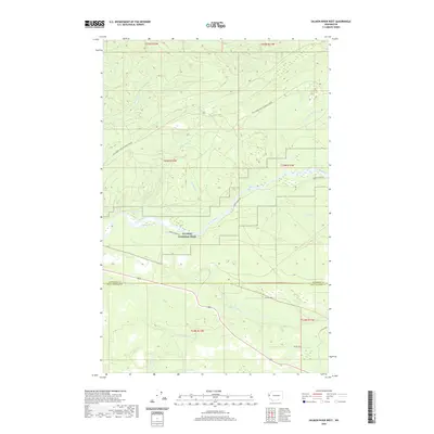 2020 Salmon River West2020 Print · USGSCoastal Washington forests and protected river systems are meticulously detailed in this recent survey. Local researchers can trace the course of the Queets River through Lyman Rapids and locate inland access via Bia Rd 9270.
 - 2020 Map of Hoh Head, 2020 Print
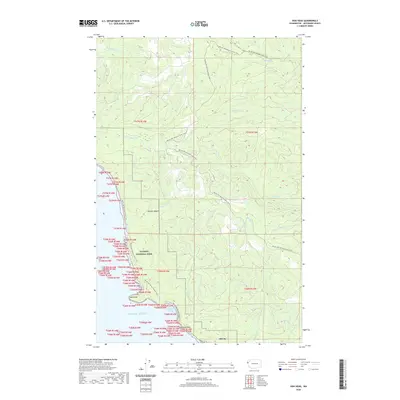 2020 Hoh Head2020 Print · USGSThe Jefferson County coast is documented here in the 2020s, showing the intersection of wilderness and maritime history. Trace the Pacific NW National Scenic Trail through Olympic National Park and past the historic site of Oil City.
 - 2020 Map of Spruce Mountain, 2020 Print
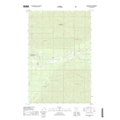 2020 Spruce Mountain2020 Print · USGSJefferson County’s coastal river valleys are captured here in the 2020s, showing the intersection of managed timberlands and wilderness. Researchers can trace the legacy of the Huelsdonk family at Huelsdonk Bridge and follow the high route of the S Snyder-Jackson Primitive Trail.
 - 2020 Map of Christmas Creek, 2020 Print
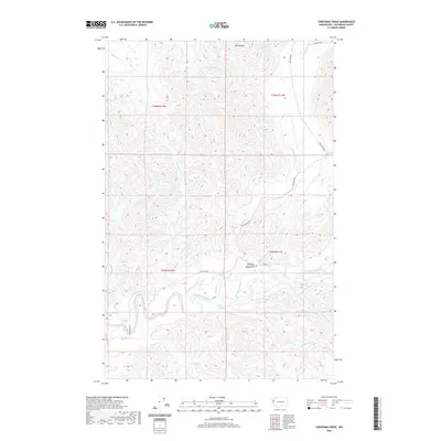 2020 Christmas Creek2020 Print · USGSThe Olympic Peninsula's dense river networks and timber access roads are documented here as they appeared in 2020. Researchers can trace the drainage of the Snahapish River into the Clearwater River, navigating by landmarks like Mt Octopus and Crooks Rapids.
 - 2020 Map of Destruction Island, 2020 Print
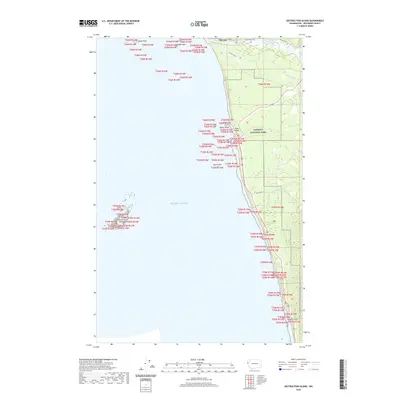 2020 Destruction Island2020 Print · USGSThe Jefferson County coast and the mouth of the Hoh River are documented here in the early twenty-first century. Researchers can locate the Fletcher Cem, the isolated Destruction Island, and the settlement at Oil City.
 - 2020 Map of Mount Tom, 2020 Print
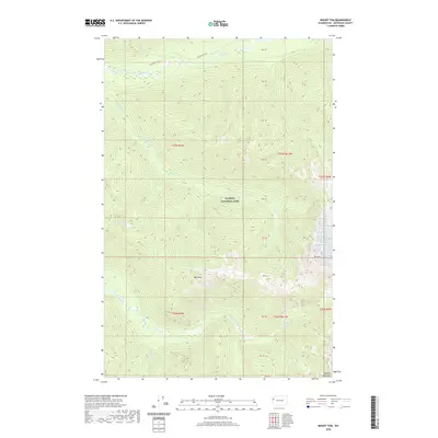 2020 Mount Tom2020 Print · USGSOlympic National Park's interior peaks and river headwaters are captured in this recent survey of the Washington wilderness. Researchers can trace the Hoh River Trail and map the high-altitude terrain between Mt Tom, Hoh Peak, and Dragon Lake.
 - 2020 Map of Mount Olson, 2020 Print
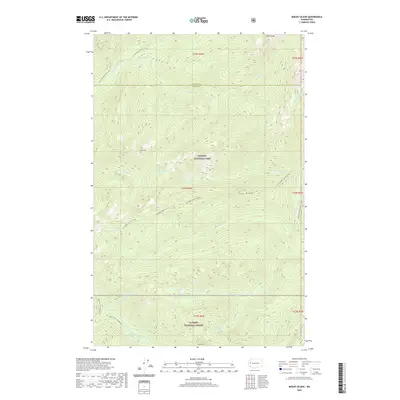 2020 Mount Olson2020 Print · USGSThe high Olympic wilderness is captured here in the early twenty-first century, spanning the border of national park and forest lands. Hikers and cartographers can trace the steep routes of the Six Ridge Primitive Trail and locate remote water bodies like McGravey Lakes or the summit of Wonder Mountain.
 - 2020 Map of La Push, 2020 Print
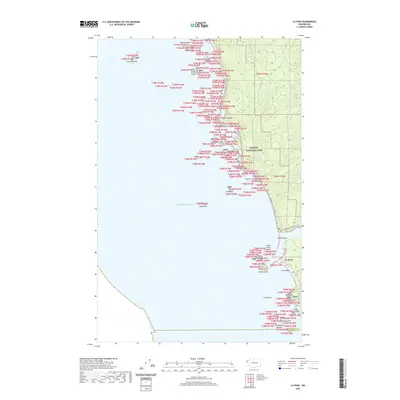 2020 La Push2020 Print · USGSCoastal Washington at the dawn of the 2020s shows the persistent bond between the sea and the community of La Push. Researchers can trace the winding Pacific NW National Scenic Trail past legendary offshore stacks like James Island and Cake Rock.
 - 2020 Map of Kimta Peak, 2020 Print
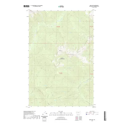 2020 Kimta Peak2020 Print · USGSOlympic National Park in the early twenty-first century remains a wilderness of high summits and headwater basins. Backcountry travelers and researchers can trace the high-elevation Skyline Primitive Trail as it passes Lake Beauty and Kimta Peak toward the N Fork Quinault River.
 - 2020 Map of Mount Queets, 2020 Print
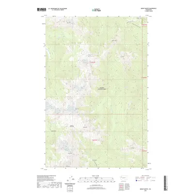 2020 Mount Queets2020 Print · USGSOlympic National Park's interior peaks and river headwaters are captured in this recent survey. Hikers and researchers can trace the high-country paths of the Dodger Point Primitive Trail and Elwha Basin Way Trail across the Bailey Range.
 - 2020 Map of Mount Skokomish, 2020 Print
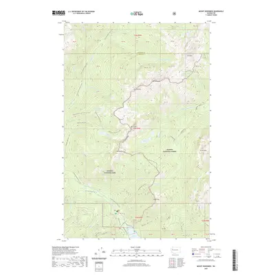 2020 Mount Skokomish2020 Print · USGSThe high peaks of the Olympic Peninsula remain a primary focus in this 2020 survey of the Mason and Jefferson county border. Researchers can trace the alpine routes to Staircase Rapids, Lake of the Angels, and the dramatic Sawtooth Ridge.
 - 2020 Map of Mount Steel, 2020 Print
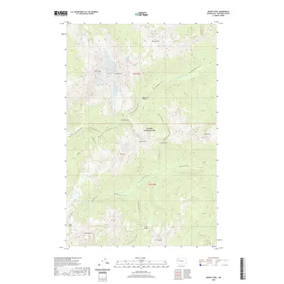 2020 Mount Steel2020 Print · USGSOlympic National Park's interior remains a sanctuary of high peaks and river headwaters as seen in this recent survey. Hikers and historians can trace the paths of the O'Neil Pass Trail and Duckabush River Trail toward Honeymoon Meadows and Mt Steel.
 - 2020 Map of Mount Olympus, 2020 Print
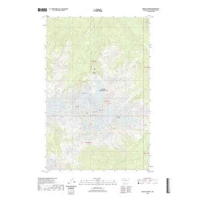 2020 Mount Olympus2020 Print · USGSThe high peaks of the Olympic Peninsula are shown here in detail during the early twenty-first century. Mountaineers and researchers can trace the extent of the Blue Glacier and Humes Glacier or follow the terminus of the Hoh River Trail near Glacier Meadows.
 - 2020 Map of Hurricane Hill, 2020 Print
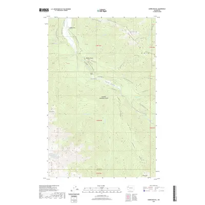 2020 Hurricane Hill2020 Print · USGSOlympic National Park in the 2020s remains a landscape of deep canyons and high alpine ridges. Hikers and researchers can trace the intricate connections between the Elwha River backcountry and summits like Hurricane Hill and Lost Cabin Mtn.
 - 2020 Map of Mount Deception, 2020 Print
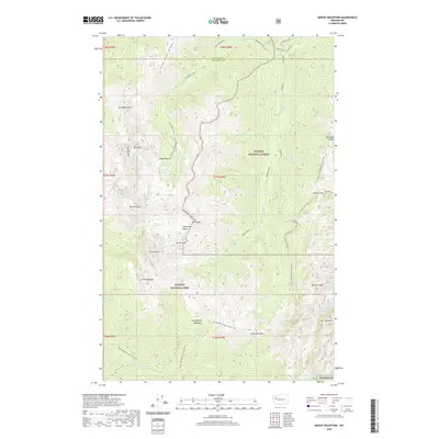 2020 Mount Deception2020 Print · USGSThe high Olympic wilderness of Clallam and Jefferson counties is presented here in the modern era. You can trace the rugged corridor of the Pacific NW National Scenic Trail as it passes between peaks like Mount Deception, Mount Constance, and Mount Mystery.
 - 2020 Map of Mount Carrie, 2020 Print
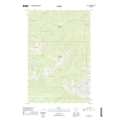 2020 Mount Carrie2020 Print · USGSThe high interior of the Olympic Peninsula is shown in detail during the early twenty-first century. Researchers and hikers can trace the Pacific NW National Scenic Trail as it passes Olympic Hot Springs, Appleton Pass, and the waters of Boulder Lake.
 - 2020 Map of Mount Christie, 2020 Print
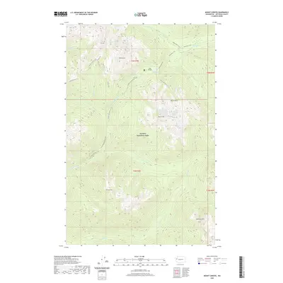 2020 Mount Christie2020 Print · USGSIn the heart of the Olympics during the early twenty-first century, this area centers on the critical mountain pass at Low Divide. Hikers and historians can trace the remote paths of the Elwha River Trail and Skyline Primitive Trail beneath Mt Christie.
Showing maps 1-25 of 130
Top cities of Jefferson County
- Port Townsend historical maps
- Port Hadlock historical maps
- Port Ludlow historical maps
- Brinnon historical maps
- Quilcene historical maps
Frequently asked questions
- What are the different types of historical maps available for Jefferson County?
- What is the oldest map of Jefferson County?
- Where can I purchase historical maps of Jefferson County for my home or office?
- Where can I download high-res historical maps of Jefferson County?
- Are there historical topographic maps available for Jefferson County?
- Is there historical aerial imagery available for Jefferson County?
- Where are historical maps of Jefferson County sourced from?