2010s Maps of Pacific County, Washington
Explore 105 historic maps of Pacific County from the 2010s. These maps offer a rare glimpse into what life looked like during the 2010s — showing old roads, neighborhoods, homes, and landmarks that have changed or disappeared over time.
Whether you're researching your family's past, planning a metal detecting trip, or studying how Pacific County's landscape evolved across the 2010s, these high-resolution maps are a powerful tool for exploring the history of this region.
- Focus on a specific era: All maps on this page are from the 2010s, giving you a focused view of this time period.
- See what’s changed: Compare century-old streets, trails, and buildings to today's modern landscape using overlays and satellite layers.
- Research with precision: Use these maps for genealogy, historical research, land use analysis, or educational projects.
- View, download, or print: Maps are fully viewable online in high resolution, and can be downloaded or printed for your own records.
Start exploring Pacific County's history through authentic maps from the 2010s. This is your window into the past.
Pacific County, WA maps
(105)- 2011 Map of Western, 2011 Print
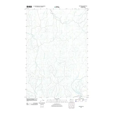 2011 Western2011 Print · USGSCoastal Washington's river-cut lowlands appear here in the early twenty-first century, centered on the settlement of Western. Genealogists and researchers can trace the intricate network of the Elk River and its many branches or locate Crawford Ditch and the North River.
 - 2011 Map of Brooklyn, 2011 Print
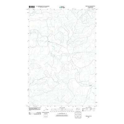 2011 Brooklyn2011 Print · USGSGrays Harbor County and the surrounding timberlands are documented here in the early twenty-first century. Researchers can trace the drainage basins of the North River and Fall River through the old settlement sites at Vesta and Brooklyn.
 - 2011 Map of Dean Creek, 2011 Print
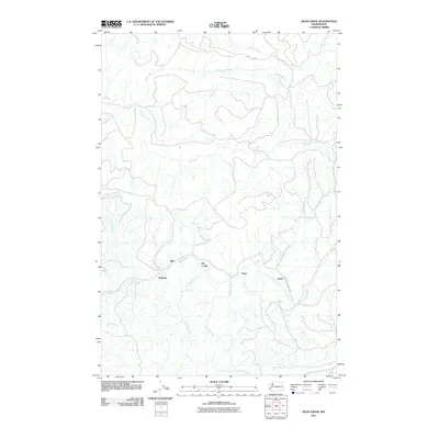 2011 Dean Creek2011 Print · USGSPacific County at the start of the decade reveals a landscape defined by the winding Fall River and quiet timber-country settlements. Genealogists and historians can trace the positions of Burt, Bedford, and the route of Monohan Landing Rd.
 - 2011 Map of Blaney Creek, 2011 Print
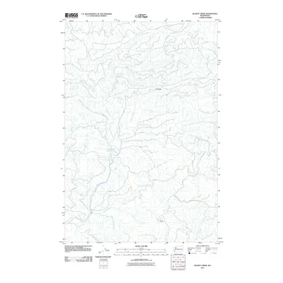 2011 Blaney Creek2011 Print · USGSThe Pacific County timberlands and river headwaters are captured here during the early twenty-first century. Researchers can trace the drainage of the Grays River and locate specific sites like the Blaney Lookout and the Grays River Salmon Pond.
 - 2011 Map of Sweigiler Creek, 2011 Print
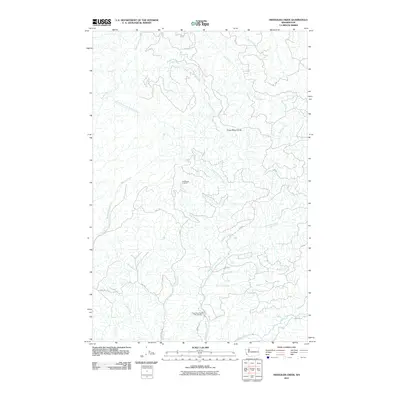 2011 Sweigiler Creek2011 Print · USGSPacific County's timberlands and river systems are shown in detail during the early 21st century. Researchers can trace the logging road networks through the Grays River Divide and locate sites like the Grays River State Fish Hatchery or Hull Creek Lookout.
 - 2011 Map of North Nemah, 2011 Print
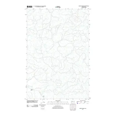 2011 North Nemah2011 Print · USGSPacific County's coastal timberlands and river valleys are captured here in the early twenty-first century. Researchers can map the area around North Nemah or follow the paths of the Canon River and South Fork Willapa River.
 - 2011 Map of Blue Mountain, 2011 Print
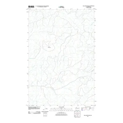 2011 Blue Mountain2011 Print · USGSGrays Harbor County’s timbered backcountry is documented here in the early 2000s, centered on the heights of Blue Mountain. Researchers can trace old logging routes and waterway systems like North River, Fort Blakely, and the winding Brooklyn Rd.
 - 2011 Map of Menlo, 2011 Print
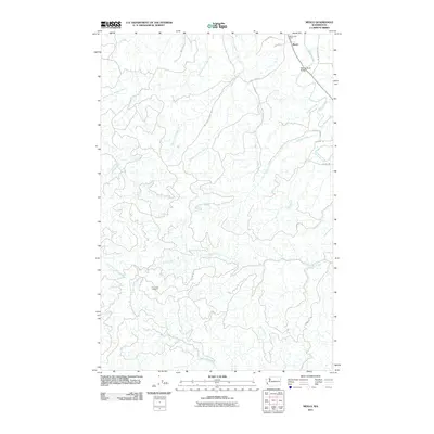 2011 Menlo2011 Print · USGSPacific County at the turn of the millennium shows the enduring timber and river-based character of the Willapa Hills. Researchers can locate historical sites like the Menlo Post Office, the Willapa River Bridge, and the high-elevation Trap Creek Lookout.
 - 2011 Map of Grayland, 2011 Print
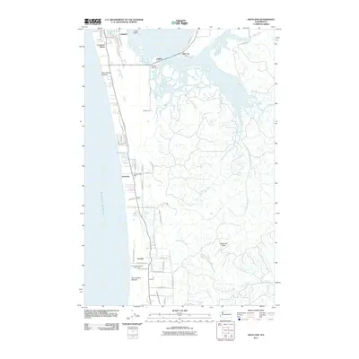 2011 Grayland2011 Print · USGSThe Washington coast near Westport reveals its 21st-century settlement patterns along the dunes and bogs. Trace family properties and local landmarks from Cohassett Beach to Bay City, including Roberts Farm, Grayland, and Horseshoe Lake.
 - 2011 Map of Doty, 2011 Print
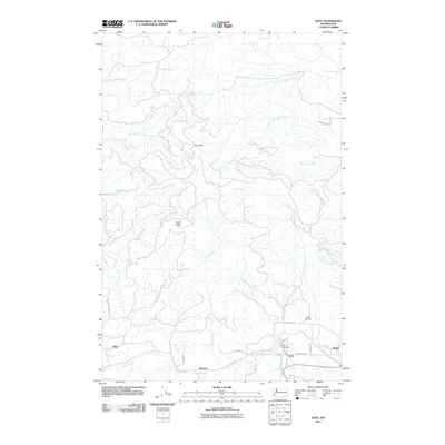 2011 Doty2011 Print · USGSLewis County life centers on the Chehalis River valley in the early twenty-first century, where timber-country settlements are still clearly mapped. You can locate the Doty Post Office, trace the grounds of Sylvan Cemetery, and explore the rural reaches of Doty Hills and Bucks Knob.
 - 2011 Map of Raymond, 2011 Print
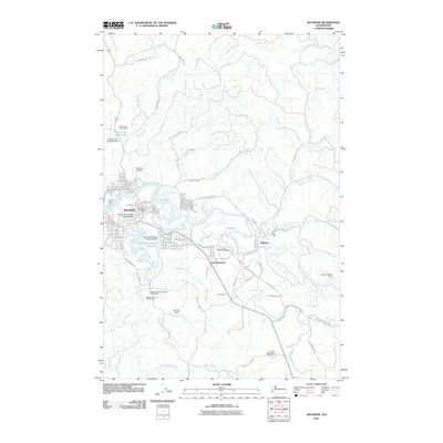 2011 Raymond2011 Print · USGSRaymond and the lower reaches of the Willapa River are documented here in the early twenty-first century. Genealogists and local historians can trace family ties at Washington Cemetery and locate points of interest like the Raymond Post Office and Camp One.
 - 2011 Map of Oman Ranch, 2011 Print
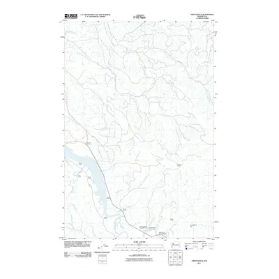 2011 Oman Ranch2011 Print · USGSPacific County ranching and river life are recorded here in the early twenty-first century as the Nemah rivers meet the coast. Researchers can trace family-named landmarks like Oman Ranch and Johnsons Landing or locate the Naselle State Salmon Hatchery.
 - 2011 Map of Pe Ell, 2011 Print
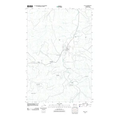 2011 Pe Ell2011 Print · USGSThe upper Chehalis River valley in western Washington is shown here during the early twenty-first century, centered on the historic town of Pe Ell. Genealogists and local historians can trace the streets of Pe Ell or locate the outlying settlements of McCormick and Walville.
 - 2011 Map of Elkhorn Creek, 2011 Print
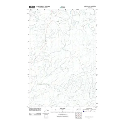 2011 Elkhorn Creek2011 Print · USGSThe coastal hills of Grays Harbor County are captured here in the early twenty-first century, showing a landscape defined by timber roads and river drainages. Researchers can trace the network of forest routes like Anderson Rd and Elkhorn Rd past landmarks like Scar Hill.
 - 2011 Map of Lebam, 2011 Print
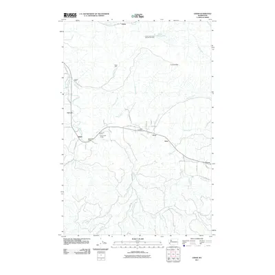 2011 Lebam2011 Print · USGSThe Willapa River valley in the early 2010s was a landscape of small river-road settlements and critical fish hatchery infrastructure. Researchers can trace the layout of Lebam, Globe, and Nallpee alongside landmarks like the Forks Creek Hatchery.
 - 2011 Map of East of Raymond, 2011 Print
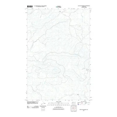 2011 East of Raymond2011 Print · USGSPacific County’s timber country is documented here in the early twenty-first century, centered on the settlement of Sutico. Genealogists and historians can trace the logging roads and watercourses of the Willapa Hills, from Pack Sack Lookout down to the banks of Mill Creek.
 - 2011 Map of Ocean Park, 2011 Print
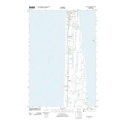 2011 Ocean Park2011 Print · USGSThe Long Beach Peninsula in the early twenty-first century shows a landscape of coastal settlements and interconnected freshwater lakes. Trace family-named landmarks and local hubs like the Ocean Park Post Office, Loomis Ranch, and the quiet waters of Cranberry Lake.
 - 2011 Map of Pluvius, 2011 Print
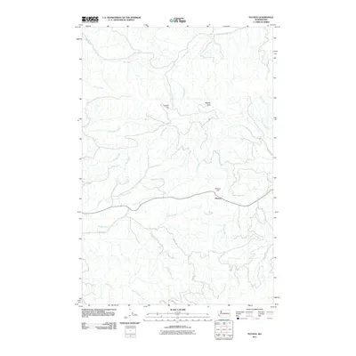 2011 Pluvius2011 Print · USGSPacific County during the early 2010s is captured here, centered on the settlement of Pluvius and the surrounding timberlands. Researchers can trace the drainage of the Willapa River and locate landmarks like Willapa Falls, Squally Jim, and Walville Peak.
 - 2011 Map of Elochoman Pass, 2011 Print
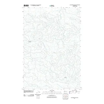 2011 Elochoman Pass2011 Print · USGSThe headwaters of several major river systems converge in this high-altitude landscape during the early twenty-first century. Hydrologists and local researchers can trace the intricate origins of the Chehalis River and the North Fork Elochoman River from landmarks like Elochoman Pass.
 - 2011 Map of Oysterville, 2011 Print
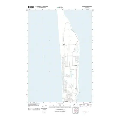 2011 Oysterville2011 Print · USGSThe Long Beach Peninsula at the start of the 2010s shows a landscape of coastal settlements and expansive state parklands. Researchers can trace the layout of historic Oysterville and Nahcotta, or locate local landmarks like Martin Airport and Morehead Boys Camp.
 - 2011 Map of North Cove, 2011 Print
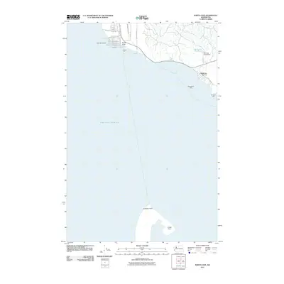 2011 North Cove2011 Print · USGSCoastal Pacific County at the turn of the decade reveals the shifting sands of the North Beach area. Researchers can trace the shoreline street grids of North Cove and Dexter by the Sea near landmarks like Cape Shoalwater and Graveyard Spit.
 - 2011 Map of Bay Center, 2011 Print
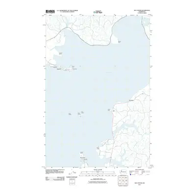 2011 Bay Center2011 Print · USGSThe maritime communities of Willapa Bay are captured here in the early twenty-first century, showing the distinct layout of the Tokeland peninsula and the eastern mainland. Researchers can trace local landmarks like the Bay Center Post Office, Tokeland Marina, and family sites such as Holton Ranch.
 - 2011 Map of Upper Naselle River, 2011 Print
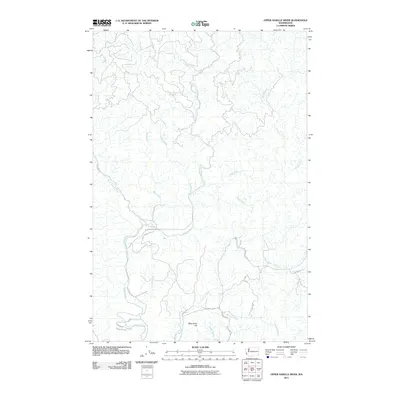 2011 Upper Naselle River2011 Print · USGSPacific County at the turn of the millennium shows a landscape defined by its timber heritage and the winding Naselle River. Researchers can trace old logging routes and family-named landmarks like Bergquist Rd, Alanen Rd, and Deep River Hill.
 - 2011 Map of South Bend, 2011 Print
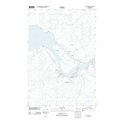 2011 South Bend2011 Print · USGSSouth Bend and the Willapa River waterfront are captured here in the early twenty-first century, showing the intersection of maritime geography and local industry. Researchers can trace land markers from the Odd Fellows Cemetery to Welsh Ranch and the Milne Quarry.
 - 2011 Map of Long Island, 2011 Print
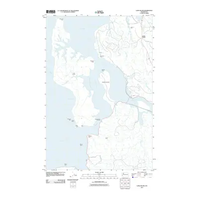 2011 Long Island2011 Print · USGSWillapa Bay's eastern shores and the vast interior of Long Island are shown here as they appeared in the early twenty-first century. Genealogists and researchers can trace family-named sites like Lagergren Ranch and Mill Ranch or locate the Templin Quarry.
Showing maps 1-25 of 105
Top cities of Pacific County
- Raymond historical maps
- South Bend historical maps
- Ocean Park historical maps
- Long Beach historical maps
- Ilwaco historical maps
- Tokeland historical maps
Frequently asked questions
- What are the different types of historical maps available for Pacific County?
- What is the oldest map of Pacific County?
- Where can I purchase historical maps of Pacific County for my home or office?
- Where can I download high-res historical maps of Pacific County?
- Are there historical topographic maps available for Pacific County?
- Is there historical aerial imagery available for Pacific County?
- Where are historical maps of Pacific County sourced from?