2020s Maps of Pacific County, Washington
Explore 70 historic maps of Pacific County from the 2020s. These maps offer a rare glimpse into what life looked like during the 2020s — showing old roads, neighborhoods, homes, and landmarks that have changed or disappeared over time.
Whether you're researching your family's past, planning a metal detecting trip, or studying how Pacific County's landscape evolved across the 2020s, these high-resolution maps are a powerful tool for exploring the history of this region.
- Focus on a specific era: All maps on this page are from the 2020s, giving you a focused view of this time period.
- See what’s changed: Compare century-old streets, trails, and buildings to today's modern landscape using overlays and satellite layers.
- Research with precision: Use these maps for genealogy, historical research, land use analysis, or educational projects.
- View, download, or print: Maps are fully viewable online in high resolution, and can be downloaded or printed for your own records.
Start exploring Pacific County's history through authentic maps from the 2020s. This is your window into the past.
Pacific County, WA maps
(70)- 2020 Map of Ocean Park, 2020 Print
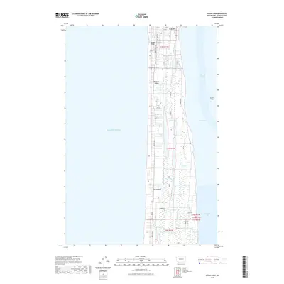 2020 Ocean Park2020 Print · USGSThe Long Beach Peninsula is shown here as a complex corridor of coastal settlements and interior wetlands. Researchers can trace local history through the grids of Ocean Park and Nahcotta or locate family-named features like Gile Lake and Litschke Lake.
 - 2020 Map of Cape Disappointment, 2020 Print
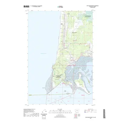 2020 Cape Disappointment2020 Print · USGSThe Long Beach Peninsula at the turn of the decade shows a storied maritime landscape where the Columbia meets the Pacific. Trace local family history and coastal defense heritage near Fort Canby, Ilwaco Cemetery, and the historic village of Seaview.
 - 2020 Map of Grayland, 2020 Print
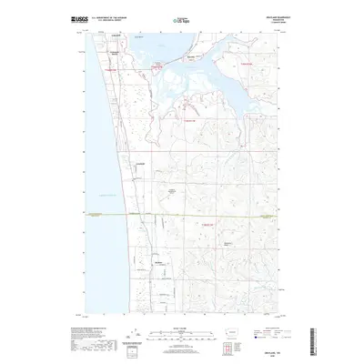 2020 Grayland2020 Print · USGSThe Washington coast and the southern reaches of the Grays Harbor estuary are captured here in the 2020s. Researchers can trace the layout of seaside communities like Grayland and Cohassett Beach, or locate the curiously named Grayland Intergalactic Airport near the Pacific shore.
 - 2020 Map of Oysterville, 2020 Print
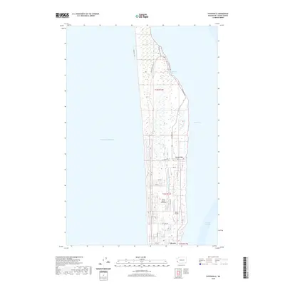 2020 Oysterville2020 Print · USGSThe northern tip of the Long Beach Peninsula comes into focus during the early twenty-first century, showing the delicate balance of coastal life. Trace the historic streets of Oysterville and Nahcotta, or explore the winding Bearberry Trail near Stackpole Harbor.
 - 2020 Map of North Cove, 2020 Print
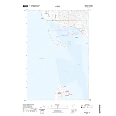 2020 North Cove2020 Print · USGSPacific County's coastline and the northern reaches of the North Beach Peninsula appear in sharp detail during this modern era. Researchers can trace shifting coastal landmarks like Graveyard Spit, Cape Shoalwater, and the quiet waterfront at Dexter by the Sea.
 - 2020 Map of South Bend, 2020 Print
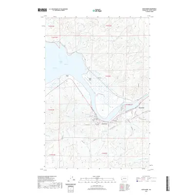 2020 South Bend2020 Print · USGSPacific County's maritime and timber heritage is visible in this contemporary look at South Bend and Raymond. Researchers can trace old transport routes like the Willapa Hills State Park Trail and find landmarks such as the Pacific County Courthouse and Old Mill Pond.
 - 2020 Map of Long Island, 2020 Print
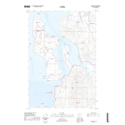 2020 Long Island2020 Print · USGSWillapa Bay's maritime landscape is captured here in recent years, focusing on the large landmass of Long Island and the mainland near Middle Nemah. Trace coastal geography and interior paths like the Sawlog Trail, Smoky Hollow, and the winding South Nemah River.
 - 2020 Map of Lebam, 2020 Print
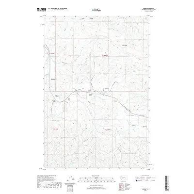 2020 Lebam2020 Print · USGSPacific County’s timber and rail history is preserved in this modern survey of the Willapa Valley. Genealogists and hikers can trace the old rail corridor through Lebam, Frances, and Holcomb, or locate landmarks like the Forks Creek Bridge.
 - 2020 Map of Dean Creek, 2020 Print
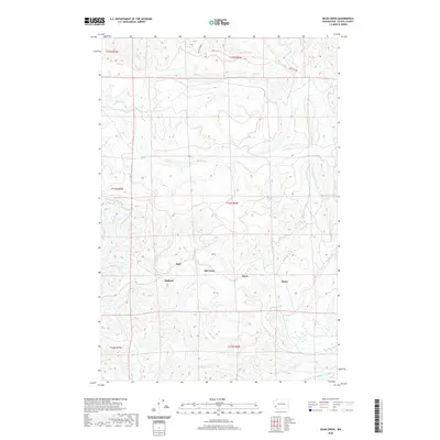 2020 Dean Creek2020 Print · USGSSettlements in the Willapa Hills are captured during the early twenty-first century, showing the rural character of Pacific County. Local historians can trace the drainage of the Fall River and locate small communities like Burt, Bedford, and Swem.
 - 2020 Map of Pluvius, 2020 Print
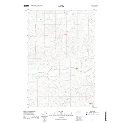 2020 Pluvius2020 Print · USGSPacific County’s timbered ridges and river valleys are captured here in the contemporary era. Researchers can trace the path of the Willapa Hills State Park Trail through the settlements of Pluvius, Frances, and Willapa Valley near the cascading Willapa Falls.
 - 2020 Map of Oman Ranch, 2020 Print
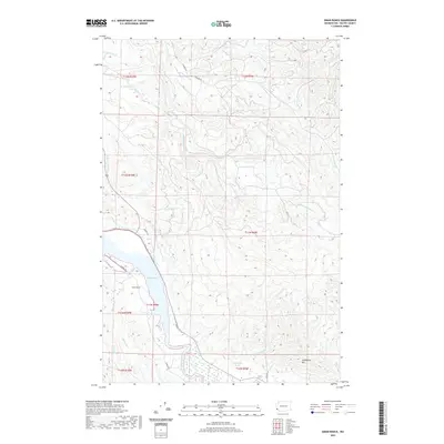 2020 Oman Ranch2020 Print · USGSPacific County’s rugged coastal timberlands meet the eastern shore of Willapa Bay in this recent survey. Local historians and genealogists can trace family-named landmarks such as Oman Ranch and Wirkkala Ponds alongside the complex forks of the Middle Nemah River.
 - 2020 Map of Knappton, 2020 Print
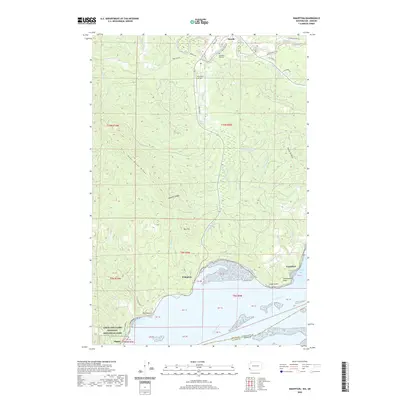 2020 Knappton2020 Print · USGSPacific County's southern shorelines and timbered ridges are captured here during the 2020s, showing the interface of the Columbia River and rugged upland. Local historians can trace family sites near Peaceful Hill Cem or explore the waterfronts of Knappton and Frankfort.
 - 2020 Map of Nemah, 2020 Print
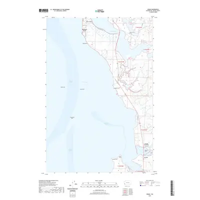 2020 Nemah2020 Print · USGSThe Pacific County coastline comes alive in this contemporary survey of the eastern shores of Willapa Bay. Researchers can trace the waterfront settlements of Bay Center and Rhodesia Beach or explore the tidal reaches of the Nemah Flats and Pickernell Creek.
 - 2020 Map of Blaney Creek, 2020 Print
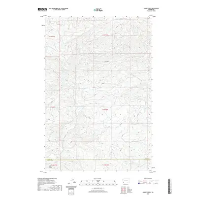 2020 Blaney Creek2020 Print · USGSPacific and Wahkiakum counties appear as a dense network of timber lands and river headwaters in this recent survey. Researchers can trace the logging infrastructure and water features like the Grays River Salmon Pond, Long Ridge, and Blaney Cr.
 - 2020 Map of Pe Ell, 2020 Print
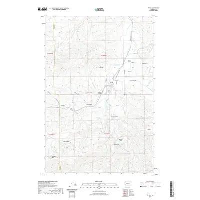 2020 Pe Ell2020 Print · USGSPe Ell and the western hills of Lewis County are shown in great detail during the early 2020s, highlighting the area's timber and rail heritage. Genealogists and hikers can trace the Willapa Hills State Park Trail through McCormick or find family plots at Forest Lawn Cem.
 - 2020 Map of East of Raymond, 2020 Print
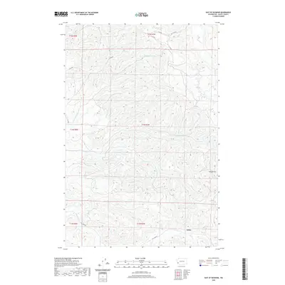 2020 East of Raymond2020 Print · USGSPacific County's timberlands and river valleys are captured here in the late 2010s. Researchers can trace the drainage of the Willapa Hills near the settlement of Sutico and follow forest access routes like MILL CREEK RD and G LINE RD.
 - 2020 Map of Doty, 2020 Print
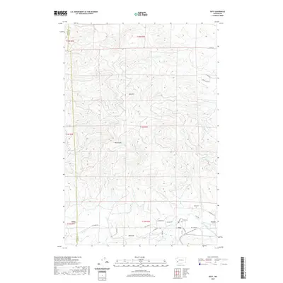 2020 Doty2020 Print · USGSThe river valley settlements of Lewis County are captured here in the contemporary era, showing the intersection of waterway and rail history. Trace the conversion of old transit lines into the Willapa Hills State Park Trail near Doty and the quiet Sylvan Cem.
 - 2020 Map of Chinook, 2020 Print
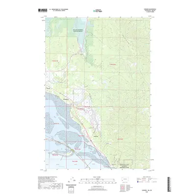 2020 Chinook2020 Print · USGSThe mouth of the Columbia River comes to life on this coastal map of Pacific County. Researchers can trace the waterfront history of Ilwaco and Chinook, or locate family landmarks along Military Road and Stringtown.
 - 2020 Map of North Nemah, 2020 Print
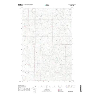 2020 North Nemah2020 Print · USGSPacific County’s coastal river valleys and timberlands are documented here in recent years, centered on the settlement of North Nemah. Genealogists and local historians can trace the paths of Nemah Valley Rd and water bodies like Pickernell Cr and the Canon River.
 - 2020 Map of Menlo, 2020 Print
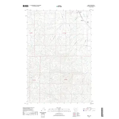 2020 Menlo2020 Print · USGSThe Willapa River valley in Pacific County is captured here in the early twenty-first century as it balances its timber heritage with modern recreation. You can trace the Willapa Hills State Park Trail through Menlo and find family-named routes like Lilly Weaton Rd.
 - 2020 Map of Aberdeen SE, 2020 Print
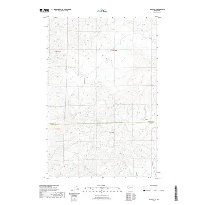 2020 Aberdeen SE2020 Print · USGSThe borderlands of Grays Harbor and Pacific counties are shown here in the contemporary era, centered on the high ground of the North River Divide. Trace the logging road network along American Mill Rd and numerous drainages like Smith Cr.
 - 2020 Map of Elochoman Pass, 2020 Print
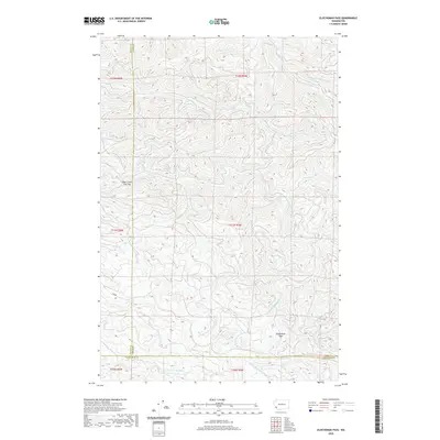 2020 Elochoman Pass2020 Print · USGSThe high timberlands and headwaters of the Willapa Hills are documented here as they appeared in 2020. Survey the convergence of three counties near Elochoman Pass and trace the origins of the Chehalis River and E Fork Grays River.
 - 2020 Map of Raymond, 2020 Print
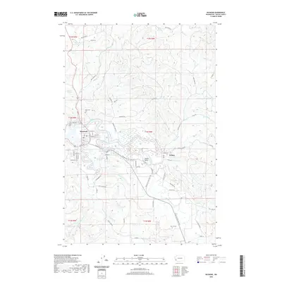 2020 Raymond2020 Print · USGSThe riverfront town of Raymond and the surrounding valley are shown here in the early twenty-first century, at the meeting of the Willapa River and its south fork. Researchers can trace the Willapa Hills State Park Trail or locate family sites at Washington Cem and Fern Hill Cem.
 - 2020 Map of Sweigiler Creek, 2020 Print
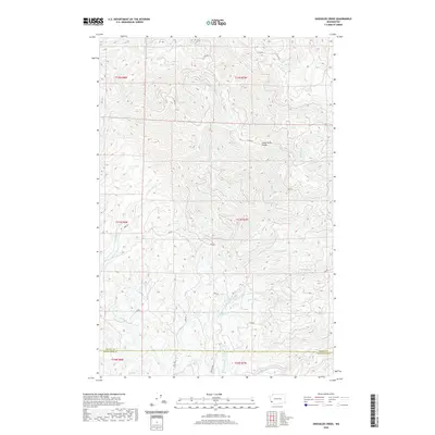 2020 Sweigiler Creek2020 Print · USGSPacific and Wahkiakum counties are mapped here in the early twenty-first century, showing the remote timberlands and high ridges between two major river systems. Trace the resource roads and watershed boundaries that define the region, from the Grays River Divide to the headwaters of Sweigiler Cr and the Naselle River.
 - 2020 Map of Upper Naselle River, 2020 Print
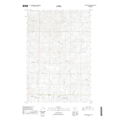 2020 Upper Naselle River2020 Print · USGSPacific and Wahkiakum counties' forested interior is documented here in the early twenty-first century. Researchers can trace the upper reaches of the Naselle River and find landmarks like Deep River Hill and Valley Big Hill.
Showing maps 1-25 of 70
Top cities of Pacific County
- Raymond historical maps
- South Bend historical maps
- Ocean Park historical maps
- Long Beach historical maps
- Ilwaco historical maps
- Tokeland historical maps
Frequently asked questions
- What are the different types of historical maps available for Pacific County?
- What is the oldest map of Pacific County?
- Where can I purchase historical maps of Pacific County for my home or office?
- Where can I download high-res historical maps of Pacific County?
- Are there historical topographic maps available for Pacific County?
- Is there historical aerial imagery available for Pacific County?
- Where are historical maps of Pacific County sourced from?