1960s Maps of West Virginia
Explore 346 historic maps of West Virginia from the 1960s. These maps offer a rare glimpse into what life looked like during the 1960s — showing old roads, neighborhoods, homes, and landmarks that have changed or disappeared over time.
Whether you're researching your family's past, planning a metal detecting trip, or studying how West Virginia's landscape evolved across the 1960s, these high-resolution maps are a powerful tool for exploring the history of this region.
- Focus on a specific era: All maps on this page are from the 1960s, giving you a focused view of this time period.
- See what’s changed: Compare century-old streets, trails, and buildings to today's modern landscape using overlays and satellite layers.
- Research with precision: Use these maps for genealogy, historical research, land use analysis, or educational projects.
- View, download, or print: Maps are fully viewable online in high resolution, and can be downloaded or printed for your own records.
Start exploring West Virginia's history through authentic maps from the 1960s. This is your window into the past.
West Virginia maps
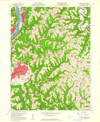
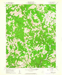
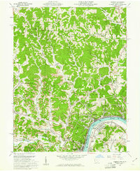
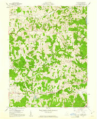
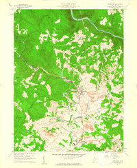
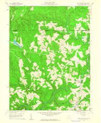
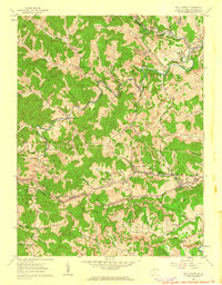
(346)- 1960 Map of Jenkins
 1960 Jenkins1960 Print · USGSEastern Kentucky and the West Virginia borderlands are captured at a mid-century peak of the coal and rail era. Trace the industrial corridors of the Chesapeake and Ohio RR through mountain hubs like Hazard and Jenkins.
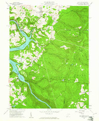
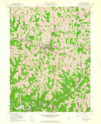
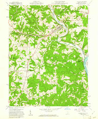
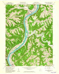
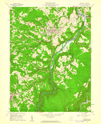
 - 1960 Map of Huntington
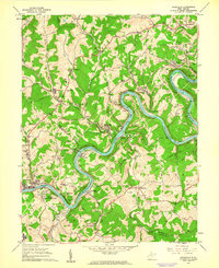
 1960 Huntington1960 Print · USGSThe tri-state river valley thrived in the late fifties as a hub of heavy industry and Appalachian rail transit. Genealogists and historians can trace the connection between river towns like Ashland and Portsmouth or locate family homesteads near Coleman Ridge.
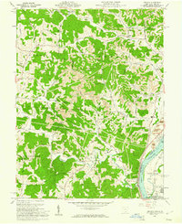
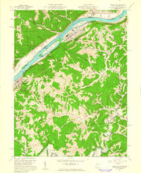
 - 1960 Map of Moundsville, 1961 Print
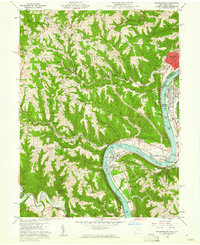
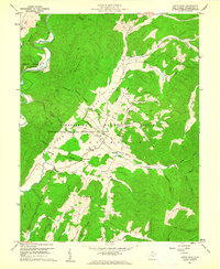
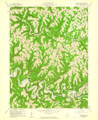
 1960 Moundsville1961 Print · USGSMarshall County's riverfront industry and correctional history are on full display in this mid-century survey of the Ohio River valley. Genealogists and researchers can locate the State Penitentiary, trace rural churches on Waymans Ridge, and find local landmarks like the Grave Creek Indian Mound Museum.4 unique versions available
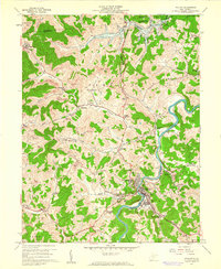
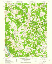
 - 1960 Map of Lake Lynn, 1961 Print
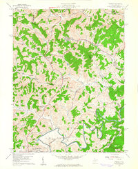
 1960 Lake Lynn1961 Print · USGSThe northern West Virginia borderlands appear in the early sixties as a landscape of river-driven industry and growing state forests. Trace early family landmarks like Sugar Grove Sch, the historic Clay Furnace, and the winding route of the Baltimore and Ohio railroad.9 unique versions available
 - 1960 Map of Addison, 1961 Print
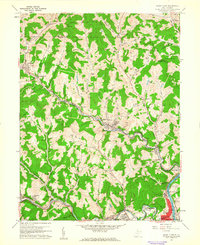
 1960 Addison1961 Print · USGSGallia County and the Ohio River riverfront appear in the early sixties at a peak of coal and power production. Genealogists can trace family names through landmarks like McCarty Cem and Roush Cem or the rural settlement at Eno.4 unique versions available
 - 1960 Map of Philippi, 1961 Print
 1960 Philippi1961 Print · USGSBarbour County in the early sixties was a landscape of deep river bends and industrial coal production. Trace family roots at Alderson-Broaddus College or find old mining sites near Berryburg and the Baltimore and Ohio rail lines.3 unique versions available
 - 1960 Map of Gladesville, 1961 Print
 1960 Gladesville1961 Print · USGSWest Virginia's mountainous borderlands at the intersection of four counties are captured here just as the new decade began. Researchers can trace ancestral sites through family-named landmarks like Summers Cem or follow the Baltimore and Ohio rail line as it winds through Hardman.4 unique versions available
 - 1960 Map of Rowlesburg, 1961 Print
 1960 Rowlesburg1961 Print · USGSPreston County's steep ridges and river bends come to life in the early 1960s as the rail and river economy thrives. Genealogists and historians can trace the family names of Watkins Cem, visit the Covered Bridge, or follow the Baltimore and Ohio Railroad through Rowlesburg.4 unique versions available
 - 1960 Map of Cameron, 1961 Print
 1960 Cameron1961 Print · USGSThe Marshall County highlands are captured here in the early sixties, showing the vital link between the Baltimore and Ohio railroad and the town of Cameron. Researchers can trace old family names and rural sites like Mount Carmel Church, the Highland Cemetery, and the Gas Field near Kausooth.4 unique versions available
 - 1960 Map of Businessburg, 1961 Print
 1960 Businessburg1961 Print · USGSThe industrial and rural landscape along the Ohio River comes into focus in the early sixties. Genealogists can trace family names and local landmarks from Shadyside down to McKeefrey, including Mt Zion Cem and the Mead Local Sch.5 unique versions available
 - 1960 Map of Green Bank, 1961 Print
 1960 Green Bank1961 Print · USGSPocahontas County at the dawn of the space age reveals a unique juxtaposition of traditional mountain life and cutting-edge science. Genealogists and historians can trace family-named sites like Asbury Knob or Galford alongside the Monongahela National Radio Astronomy Observatory and its Telescope installations.3 unique versions available
 - 1960 Map of Pomeroy, 1961 Print
 1960 Pomeroy1961 Print · USGSThe riverfront towns of Pomeroy and Middleport are shown at the height of their industrial era when three major railroads still serviced the Ohio River banks. Genealogists can trace family landmarks like Sacred Heart Ch, St Josephs Cem, and the County Fairgrounds.4 unique versions available
 - 1960 Map of Fleming, 1961 Print
 1960 Fleming1961 Print · USGSWashington County at the start of the 1960s shows a landscape of ridge-top farms and active energy extraction. Local historians can trace family roots at Deming Cem and Churchtown, or follow the B & O Railroad past the Tunnel at McAvan.3 unique versions available
 - 1960 Map of Coolville, 1961 Print
 1960 Coolville1961 Print · USGSThe Hocking River valley and Wayne National Forest are captured here in the early sixties, showing a landscape of ridge-top farms and timber. Genealogists can locate family landmarks such as Stewart Cem, Bethel Ch, and the Olive-Orange Township Sch.4 unique versions available
 - 1960 Map of Powhatan Point, 1961 Print
 1960 Powhatan Point1961 Print · USGSThe Ohio River valley at the start of the 1960s shows a landscape of industrial growth and rail transit. Trace the river-and-rail economy through Powhatan Point, Natrium, and the facilities at Lock No. 14.5 unique versions available
 - 1960 Map of Masontown, 1961 Print
 1960 Masontown1961 Print · USGSPreston County's coal-and-rail economy is in full swing at the start of the sixties, centered on the Masontown and Reedsville corridor. Genealogists can trace family footprints at Arthurdale, Zinn Chapel, and the extensive Morgan Mines operations.5 unique versions available
 - 1960 Map of Glen Easton, 1961 Print
 1960 Glen Easton1961 Print · USGSMarshall County's ridgeline farms and narrow stream valleys are captured here at the start of the 1960s. Genealogists can trace family landmarks like Rosbys Rock, the Lower Bane Sch & Cem, and the winding Baltimore and Ohio Railroad.3 unique versions available
 - 1960 Map of Century, 1961 Print
 1960 Century1961 Print · USGSBarbour and Upshur counties are shown here at the height of the mid-century coal era. Genealogists can locate family sites like the Rohrbough Cem, rural schoolhouses such as Kesling Sch, and coal company towns like Century No 2.3 unique versions available
 - 1960 Map of Grant Town, 1961 Print
 1960 Grant Town1961 Print · USGSMarion and Monongalia counties are shown here at the peak of the mid-century industrial era, where coal mining and gas extraction shaped the local economy. Genealogists and historians can trace family-named sites like Hood Cem, Mc Curdyville, and the Gilbor Ch along the winding Paw Paw Creek.2 unique versions available
 - 1960 Map of Bruceton Mills, 1961 Print
 1960 Bruceton Mills1961 Print · USGSThe West Virginia and Pennsylvania border region in the early sixties shows a landscape of timbered ridges and river valleys. Genealogists can locate family landmarks like Mountain Grove Sch, St Peters Cem, and the site of the Old Valley Furnace.5 unique versions available
 - 1960 Map of Kingwood, 1961 Print
 1960 Kingwood1961 Print · USGSPreston County in the early sixties was a landscape of mountain railroads and active industry centered on the Cheat River. Genealogists can trace family landmarks and local institutions from St Josephs Ch and Kingwood Cemetery to the grounds of National Guard Camp Dawson.4 unique versions available
 - 1960 Map of Paden City, 1961 Print
 1960 Paden City1961 Print · USGSThe Ohio River valley thrives in the early sixties as a hub of industry and rail. Genealogists can trace family roots at Kidwell Ch, Stender Cem, and the riverfront communities of Paden City and Sistersville.4 unique versions available
 - 1960 Map of Chester, 1962 Print
 1960 Chester1962 Print · USGSMeigs County and the Ohio River riverfront thrived in the early sixties, balancing heavy industry with rural ridge-top life. Researchers can trace ancestral lands through family sites like Nease Settlement, the Welsh Town Cem, and the Chester Hill Country Club.4 unique versions available
 - 1960 Map of Wolf Summit, 1962 Print
 1960 Wolf Summit1962 Print · USGSCentral Harrison County in the early sixties remains a hub of rail and mining activity. Genealogists and historians can trace family locations through Olive Cem, the County Infirmary, and settlements like Wolf Summit or Sardis.2 unique versions available
 - 1960 Map of Rivesville, 1962 Print
 1960 Rivesville1962 Print · USGSThe Monongahela River valley was a bustling corridor of coal and rail in the early sixties. Genealogists and historians can trace family locations near the Site of Fort Prickett, the Montana Mines post office, and Snider Temple.4 unique versions available
Showing maps 1-25 of 346
Top cities of West Virginia
- Charleston historical maps
- Huntington historical maps
- Parkersburg historical maps
- Morgantown historical maps
- Wheeling historical maps
- Weirton historical maps
See more
Top counties of West Virginia
- Kanawha County historical maps
- Berkeley County historical maps
- Monongalia County historical maps
- Cabell County historical maps
- Wood County historical maps
- Raleigh County historical maps
See more
Frequently asked questions
- What are the different types of historical maps available for West Virginia?
- What is the oldest map of West Virginia?
- Where can I purchase historical maps of West Virginia for my home or office?
- Where can I download high-res historical maps of West Virginia?
- Are there historical topographic maps available for West Virginia?
- Is there historical aerial imagery available for West Virginia?
- Where are historical maps of West Virginia sourced from?