2000s (21st Century) Maps of West Virginia
Explore 2,502 historic maps of West Virginia from the 2000s (21st Century). These maps offer a rare glimpse into what life looked like during the 2000s — showing old roads, neighborhoods, homes, and landmarks that have changed or disappeared over time.
Whether you're researching your family's past, planning a metal detecting trip, or studying how West Virginia's landscape evolved across the 2000s, these high-resolution maps are a powerful tool for exploring the history of this region.
- Focus on a specific era: All maps on this page are from the 2000s, giving you a focused view of this time period.
- See what’s changed: Compare century-old streets, trails, and buildings to today's modern landscape using overlays and satellite layers.
- Research with precision: Use these maps for genealogy, historical research, land use analysis, or educational projects.
- View, download, or print: Maps are fully viewable online in high resolution, and can be downloaded or printed for your own records.
Start exploring West Virginia's history through authentic maps from the 2000s. This is your window into the past.
West Virginia maps
(2,502)- 2000 Map of Racine, 2001 Print
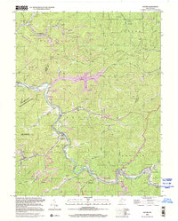 2000 Racine2001 Print · USGSThe Coal River Valley at the opening of the millennium reveals a landscape shaped by narrow hollows, coal mining, and long-standing riverside communities. Researchers can trace family roots at Snodgrass Cemetery or explore the geography around Peytona, Nellis, and Drawdy Falls Roadside Park.
 - 2000 Map of Quick, 2001 Print
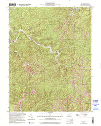 2000 Quick2001 Print · USGSKanawha County’s creek-carved valleys are captured here at the turn of the millennium, showing a landscape shaped by rural industry and small-town roots. Local historians can trace the positions of the Book Mine, the Hansford Sch, and settlements like Quick and Blount.
 - 2000 Map of Winona, 2001 Print
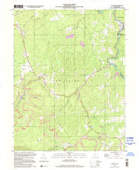 2000 Winona2001 Print · USGSThe coal and timber country of Fayette County is captured here at the start of the new millennium. Local historians and genealogists can trace the communities of Winona and Clifftop, locating landmarks like the Old Stone House, Brackens Creek Ch, and the Air Shaft Mine.
 - 2000 Map of Sissonville, 2001 Print
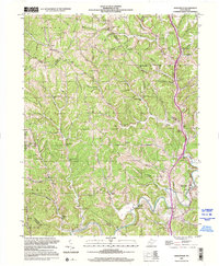 2000 Sissonville2001 Print · USGSThe Pocatalico River valley at the turn of the millennium remains a landscape of deep hollows and family-named ridges. Genealogists and historians can trace community roots through numerous country schools like Unexpected Sch and local landmarks such as Bonham Chapel and Goldtown.
 - 2000 Map of Ansted, 2001 Print
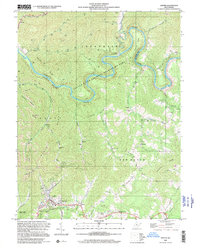 2000 Ansted2001 Print · USGSFayette and Nicholas counties at the start of the millennium show a landscape of deep river gorges and upland mining operations. Researchers can locate family landmarks such as Restlawn Memory Gardens, Mt Eary Ch, and the old settlement at Victor.
 - 2001 Map of Majestic, 2003 Print
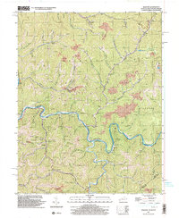 2001 Majestic2003 Print · USGSThe Central Appalachian coalfields come into focus at the turn of the millennium where the TUG FORK separates Kentucky and West Virginia. Genealogists and industrial historians can trace riverside settlements like Vulcan, Devon, and Majestic, alongside the NORFOLK AND WESTERN rail line.
 - 2001 Map of Bramwell, 2003 Print
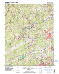 2001 Bramwell2003 Print · USGSThe West Virginia and Virginia borderlands come into focus at the turn of the millennium, revealing a landscape shaped by the coal industry and the winding Bluestone River. Genealogists can trace family names at Pocahontas Cem or find old community centers like Abbs Valley Sch and Mt Sinai Ch.
 - 2001 Map of Panther, 2003 Print
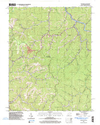 2001 Panther2003 Print · USGSPanther and the Tug river valley are captured here at the turn of the century as coal and rail still define the McDowell County landscape. Genealogists can trace family heritage through dozens of local burial sites including Sullivan Cem and Lester Cem.
 - 2001 Map of War, 2003 Print
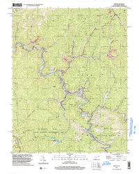 2001 War2003 Print · USGSMcDowell County's mining and mountain communities are captured here just after the turn of the millennium. Trace the industrial and family history of War, Berwind, and Bartley while following old routes along the Dry Fork.
 - 2001 Map of Anawalt, 2003 Print
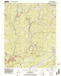 2001 Anawalt2003 Print · USGSThe West Virginia-Virginia borderlands appear at the start of the millennium, dominated by the winding rail lines and steep ridges of the coalfields. Researchers can trace local heritage through settlements like Anawalt, Jenkinjones, and Pageton, or locate several Cem sites and the Hay Ch tucked among the hollows.
 - 2001 Map of Wharncliffe, 2003 Print
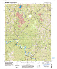 2001 Wharncliffe2003 Print · USGSThe coal country of Mingo County is captured at the turn of the millennium, showing a landscape defined by industrial mines and river-bottom settlements. Genealogists can trace family locations near Wharncliffe, War Eagle, and the Hardy Union Ch.
 - 2001 Map of Gary, 2003 Print
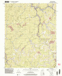 2001 Gary2003 Print · USGSThe coal country of southern West Virginia is shown at the start of the 2000s, centered on the company towns and hollows of McDowell County. Trace the industrial landscape from the Tipple at Thorpe to the scattered settlements of Elbert, Filbert, and Newhall.
 - 2002 Map of New Matamoras, 2006 Print
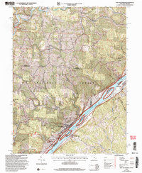 2002 New Matamoras2006 Print · USGSThe Ohio River valley at the turn of the new millennium shows a landscape defined by riverside settlements and deep forest ridges. Genealogists and hikers can locate sites like Salem Hall, Zion Ch, and the high ridges of the Wayne National Forest.
 - 2002 Map of Raven Rock, 2006 Print
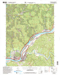 2002 Raven Rock2006 Print · USGSThe riverfront communities of West Virginia and Ohio are captured here at the start of the 21st century. Genealogists can locate family-named landmarks such as Chapman Cem and Wade Cem, or trace the development around St Marys and Newport.
 - 2002 Map of Round Bottom, 2006 Print
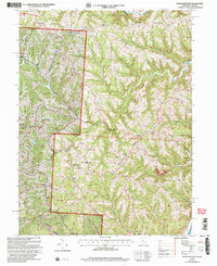 2002 Round Bottom2006 Print · USGSThe riverfront communities of Monroe County thrive along the Ohio River at the start of the twenty-first century. Genealogists and historians can trace numerous rural landmarks like Winklers Mill, Chapel Hill Ch, and the Emma Grove Cem.
 - 2002 Map of Glenwood, 2006 Print
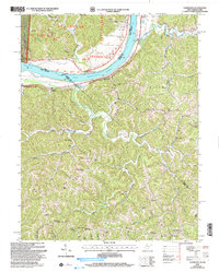 2002 Glenwood2006 Print · USGSThe Ohio River valley and the ridges of Cabell and Mason counties are shown here as they appeared at the start of the century. Genealogists and local historians can trace rural family life through landmarks like Moores Chapel, Swan Creek Sch, and Dudley Gap.
 - 2002 Map of Apple Grove, 2006 Print
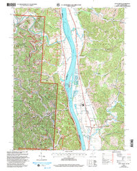 2002 Apple Grove2006 Print · USGSLife along the Ohio River at the dawn of the 21st century centered on riverfront hamlets and the ridges of the Wayne National Forest. Researchers can trace local heritage through sites like Mercers Bottom, Sunnyside School, and several family-linked cemeteries like Kings Chapel.
 - 2002 Map of Athalia, 2006 Print
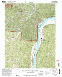 2002 Athalia2006 Print · USGSThe Ohio River valley at the start of the 21st century reveals a landscape of riverside villages and upland forest reserves. Genealogists and historians can trace community roots through numerous country churches like Wilma Chapel and old schools including Fairland Sch No 3.
 - 2002 Map of Willow Island, 2006 Print
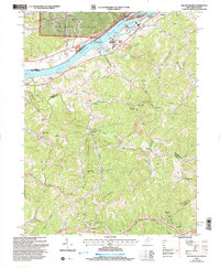 2002 Willow Island2006 Print · USGSPleasants and Wood Counties come together along the Ohio River during the early 2000s, showcasing a landscape of heavy river locks and rural ridge-top homesteads. Genealogists and local historians can trace family-named sites like Pumpkin Knob Sch, Harness Ch, and the small settlement of Newlandsville.
 - 2002 Map of Paden City, 2006 Print
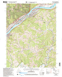 2002 Paden City2006 Print · USGSThe Ohio River valley and its surrounding ridges come into focus here at the start of the 2000s, showing the intersection of river-bound industry and deep-hollow settlements. Genealogists can trace family sites at Van Camp Cem, Locust Grove Ch, and the riverside town of Sistersville.
 - 2002 Map of Bens Run, 2006 Print
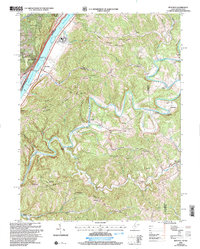 2002 Bens Run2006 Print · USGSThe Ohio River valley meets the winding Middle Island Creek in this early 2000s study of Pleasants and Tyler Counties. Researchers can locate family-named landmarks and rural hubs such as Arvilla, Oak Grove Ch, and the Salt Wells near Bens Run.
 - 2002 Map of Belmont, 2006 Print
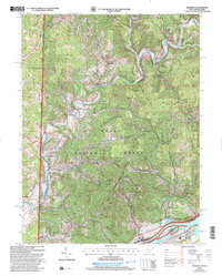 2002 Belmont2006 Print · USGSPleasants County and the Ohio-West Virginia border are captured here at the turn of the millennium as the river-bound economy shifted toward conservation and recreation. Researchers can trace family roots through numerous sites like Dye Cem, Beech Grove Ch, and the settlement of Cornerville.
 - 2010 Map of Fleming, 2010 Print
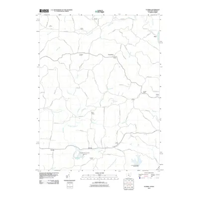 2010 Fleming2010 Print · USGSLocust Fork and Churchtown are seen here in the early twenty-first century, a landscape defined by its deep genealogical roots and rural stream valleys. Researchers can trace numerous family burial grounds including Brabham Cemetery and Henry Cemetery, or locate landmarks like McAvan and Goodfellows Park.
 - 2010 Map of Elizabeth, 2010 Print
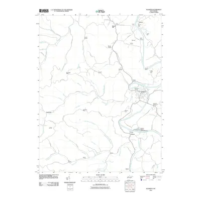 2010 Elizabeth2010 Print · USGSWirt County at the start of the decade shows a landscape of river-bend settlements and upland ridges. Genealogists can locate family burial sites like Beauchamp-Newman Cemetery and landmarks like the Palestine State Fish Hatchery.
 - 2010 Map of Naugatuck, 2010 Print
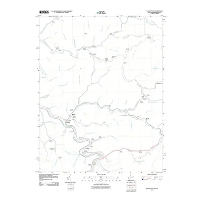 2010 Naugatuck2010 Print · USGSMingo County life centers on the winding Tug Fork and its steep hollows during the early twenty-first century. Genealogists can trace numerous family burial sites, including the Hanna Cemeteries and Vennatter Cemetery, alongside the Old N and W Railroad Bed Rd.
Showing maps 1-25 of 2,502
Top cities of West Virginia
- Charleston historical maps
- Huntington historical maps
- Parkersburg historical maps
- Morgantown historical maps
- Wheeling historical maps
- Weirton historical maps
See more
Top counties of West Virginia
- Kanawha County historical maps
- Berkeley County historical maps
- Monongalia County historical maps
- Cabell County historical maps
- Wood County historical maps
- Raleigh County historical maps
See more
Frequently asked questions
- What are the different types of historical maps available for West Virginia?
- What is the oldest map of West Virginia?
- Where can I purchase historical maps of West Virginia for my home or office?
- Where can I download high-res historical maps of West Virginia?
- Are there historical topographic maps available for West Virginia?
- Is there historical aerial imagery available for West Virginia?
- Where are historical maps of West Virginia sourced from?