2020s Maps of West Virginia
Explore 496 historic maps of West Virginia from the 2020s. These maps offer a rare glimpse into what life looked like during the 2020s — showing old roads, neighborhoods, homes, and landmarks that have changed or disappeared over time.
Whether you're researching your family's past, planning a metal detecting trip, or studying how West Virginia's landscape evolved across the 2020s, these high-resolution maps are a powerful tool for exploring the history of this region.
- Focus on a specific era: All maps on this page are from the 2020s, giving you a focused view of this time period.
- See what’s changed: Compare century-old streets, trails, and buildings to today's modern landscape using overlays and satellite layers.
- Research with precision: Use these maps for genealogy, historical research, land use analysis, or educational projects.
- View, download, or print: Maps are fully viewable online in high resolution, and can be downloaded or printed for your own records.
Start exploring West Virginia's history through authentic maps from the 2020s. This is your window into the past.
West Virginia maps
(496)- 2022 Map of Bastian, 2022 Print
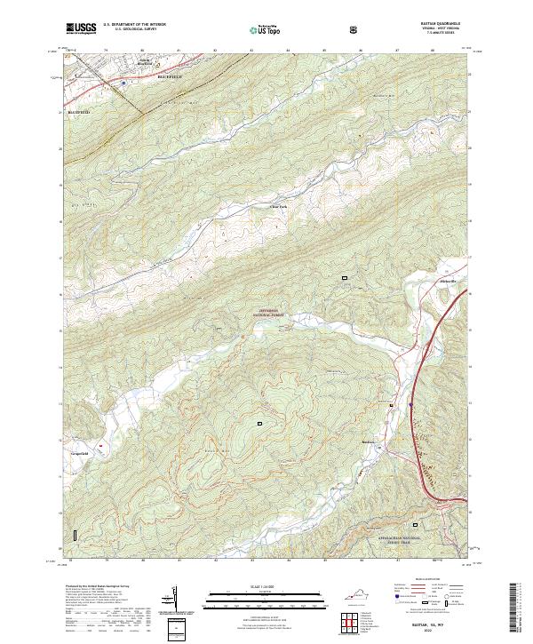 2022 Bastian2022 Print · USGSBland and Tazewell counties in the early 2020s are defined by the intersection of mountain ridges and small valley settlements. Researchers can trace the path of the Appalachian National Scenic Trail and locate local landmarks like Bluefield University and Rose Hill Cem.
 - 2022 Map of Berryville, 2022 Print
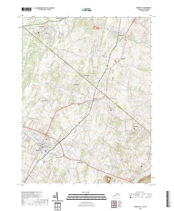 2022 Berryville2022 Print · USGSBerryville and the surrounding Blue Ridge foothills are captured here just after the turn of the millennium. Researchers can trace family history through a wealth of sites like the Thomas Blakemore Family Farm Cem, Wickliffe, and the Clarke County Courthouse.
 - 2022 Map of Gore, 2022 Print
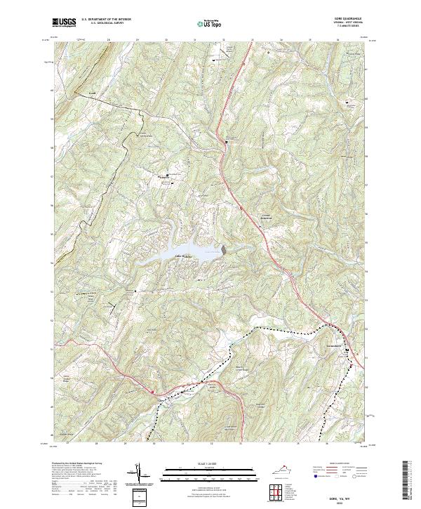 2022 Gore2022 Print · USGSGore and the surrounding Frederick County ridges appear in this recent survey during a period of modern residential growth around Lake Holiday. Genealogists can locate family burial sites including Heironimus Gravesite and Seibert Cemetery, or trace the old paths of Northwestern Pike through Gore.
 - 2022 Map of Stephenson, 2022 Print
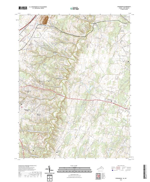 2022 Stephenson2022 Print · USGSThe borderlands of Frederick and Clarke Counties come into focus in this contemporary study of the northern Shenandoah Valley. Genealogists can trace family heritage at Stones Chapel Cemetery and Russell Family Cemetery or locate the old crossroads at Burnt Factory.
 - 2022 Map of White Hall, 2022 Print
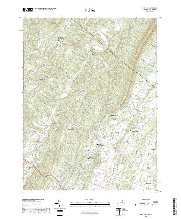 2022 White Hall2022 Print · USGSFrederick County, Virginia, and the West Virginia borderlands are shown here in the early 2020s, showing a landscape defined by ridge-and-valley topography. Genealogists can trace family names through numerous rural burial grounds like Strowbridge Cemetery and Mount Pleasant Cemetery.
 - 2022 Map of Mountain Falls, 2022 Print
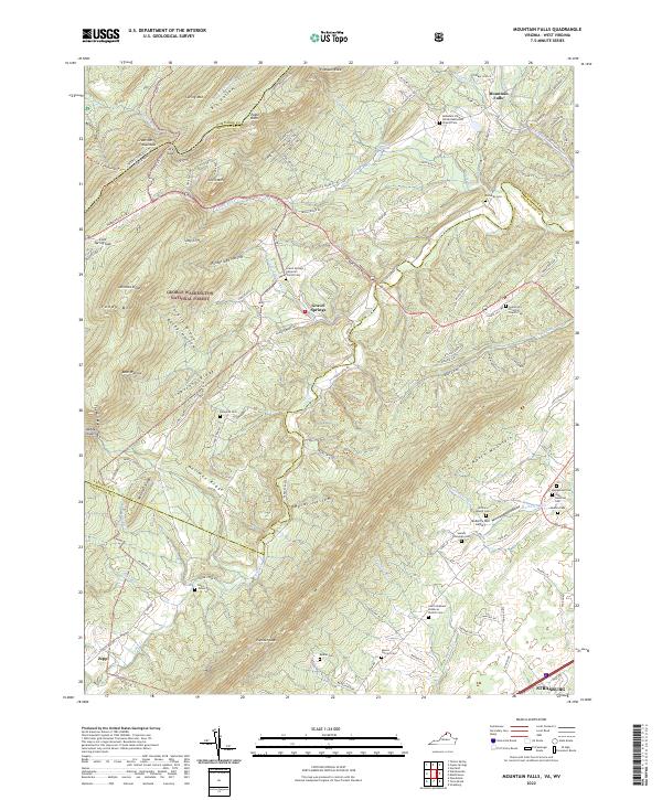 2022 Mountain Falls2022 Print · USGSThe Virginia and West Virginia borderlands are shown here in the early twenty-first century as a landscape of rural settlements and protected forest. Genealogists can trace family footprints across numerous sites like Richards Cem, Gravel Springs, and the Mulberry Run Cem.
 - 2022 Map of Amonate, 2022 Print
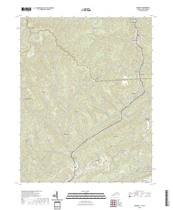 2022 Amonate2022 Print · USGSThe coalfield communities of Tazewell County and West Virginia come alive in this detailed recent survey. Genealogists and local historians can trace family locations near Amonate, Bandy, and the Berwind Cem along the headwaters of Indian Cr.
 - 2022 Map of Patterson, 2022 Print
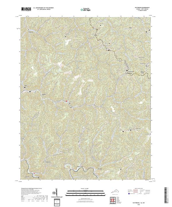 2022 Patterson2022 Print · USGSBuchanan County, Virginia, and McDowell County, West Virginia, are mapped here in the modern era, showing a landscape of deep hollows and high ridges. Researchers can locate numerous family burial sites like Irvin Payne Cem and settlements such as Paynesville or Jackson Flats.
 - 2022 Map of Round Hill, 2022 Print
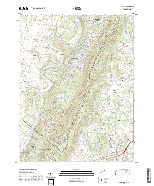 2022 Round Hill2022 Print · USGSThe Blue Ridge border between West Virginia and Virginia comes into focus in this contemporary survey of the Shenandoah River valley. Researchers can trace historic family landmarks and burial sites like the Old Potts Graveyard and Ketocktin Baptist Church Cem.
 - 2022 Map of Reddish Knob, 2022 Print
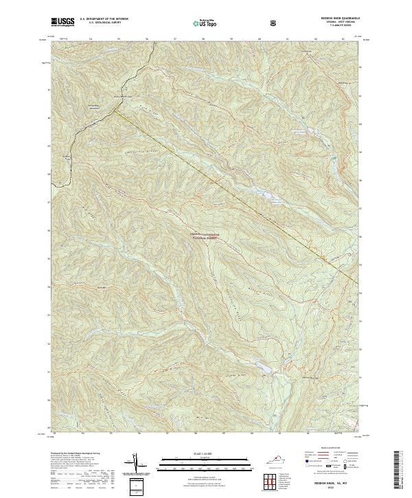 2022 Reddish Knob2022 Print · USGSThe high ridges of the Shenandoah border were captured in detail during this recent survey of the central Appalachians. Hikers and historians can trace complex trail networks across Shenandoah Mountain and find landmarks like Reddish Knob and Hearthstone Lake.
 - 2022 Map of Monterey, 2022 Print
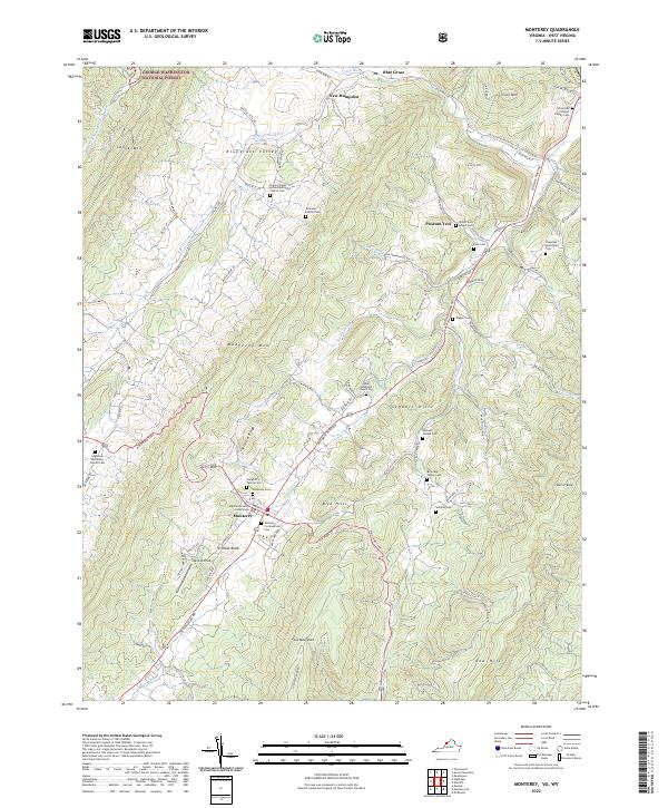 2022 Monterey2022 Print · USGSThe Highland County seat and its surrounding mountain valleys are captured here in the early twenty-first century. Researchers can locate numerous family burial sites and landmarks like the Highland County Courthouse, Monterey Cem, and Simmons Family Cem.
 - 2022 Map of Palo Alto, 2022 Print
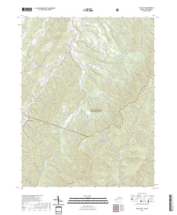 2022 Palo Alto2022 Print · USGSSettlement and forest overlap on the Virginia-West Virginia border in this recent survey of the Allegheny Highlands. Researchers can locate family landmarks like Warren Rexrode Spring and Puffenbarger Pond or trace the winding course of the S Fork S Br Potomac River.
 - 2022 Map of Alleghany, 2022 Print
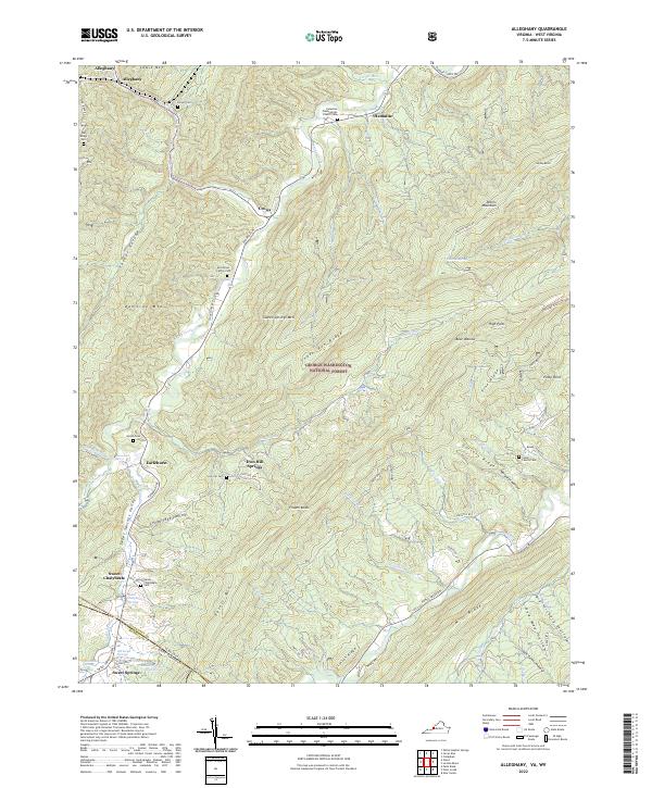 2022 Alleghany2022 Print · USGSThe Virginia and West Virginia borderlands are shown here in the early 2020s, highlighting the historic thermal spring resorts. Genealogists can trace family roots at the Stone Family Cem, Hylton Cem, and the sites of Old Sweet Springs.
 - 2022 Map of Cow Knob, 2022 Print
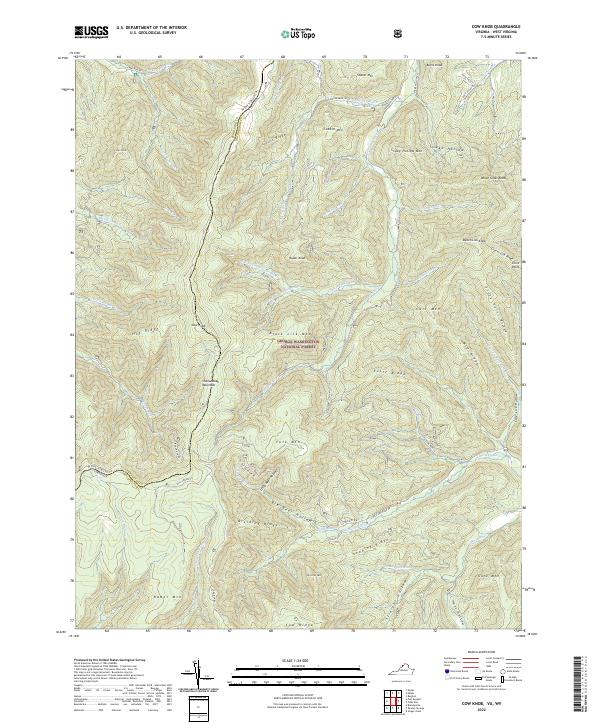 2022 Cow Knob2022 Print · USGSThe high ridges of the Virginia and West Virginia border are preserved here in the early 2020s within the George Washington National Forest. Researchers can trace the rugged topography of Shenandoah Mountain and find family-named landmarks like Fulk Mtn and Rader Mtn.
 - 2022 Map of Doe Hill, 2022 Print
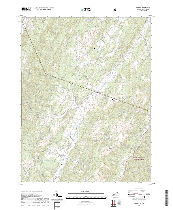 2022 Doe Hill2022 Print · USGSHighland County's high ridges and river valleys are captured here in the early twenty-first century as they straddle the West Virginia line. Genealogists can locate family landmarks like the Armstrong/Hiner Family Cem and old church sites at Doe Hill and Sirons Mill.
 - 2022 Map of Hightown, 2022 Print
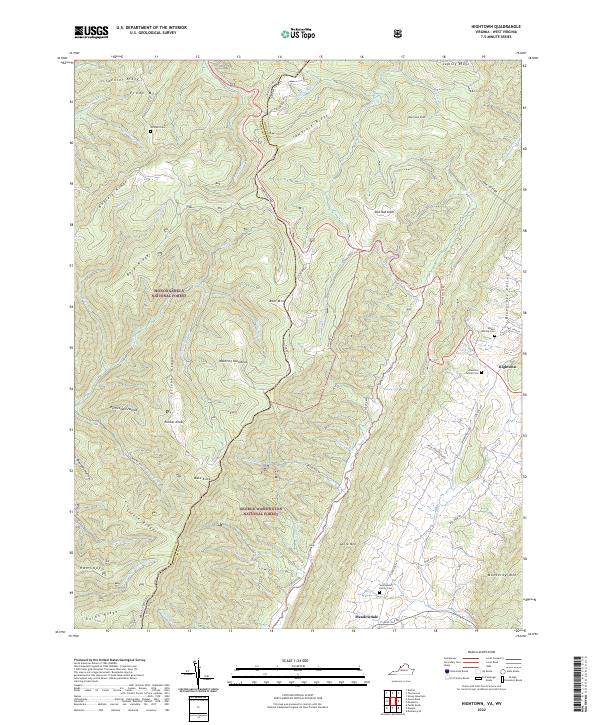 2022 Hightown2022 Print · USGSThe Virginia Highlands come into focus in the early 2020s, showing the pastoral headwaters of the Jackson River. Researchers can trace old family roots at the Hevener Family Cem or follow the path of the Mountain Tpke through Hightown.
 - 2022 Map of Falling Spring, 2022 Print
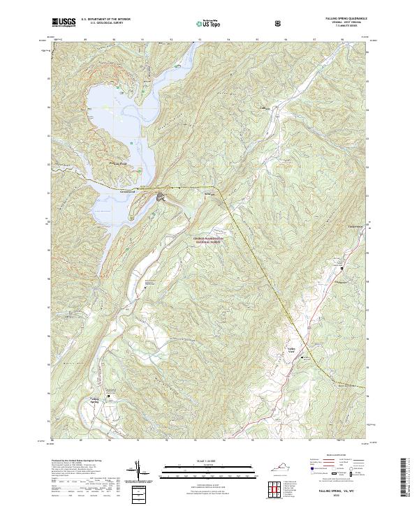 2022 Falling Spring2022 Print · USGSFalling Spring and the Jackson River valley are captured here in the early twenty-first century as they wind through the Appalachian ridges. Genealogists can trace family roots at the Falling Spring Presbyterian Church Cem or find old homesites near Tinkertown and Valley View.
 - 2022 Map of Mustoe, 2022 Print
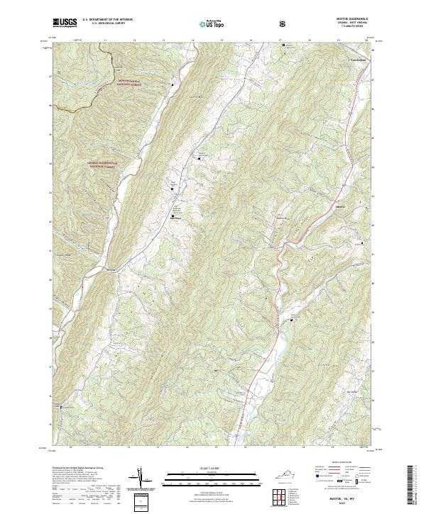 2022 Mustoe2022 Print · USGSHighland County’s ridges and valleys are meticulously documented here in the early twenty-first century. Genealogists can trace family footprints at the McNulty Family Cem, Griffin Cem, and the rural community of Mill Gap.
 - 2022 Map of Sunrise, 2022 Print
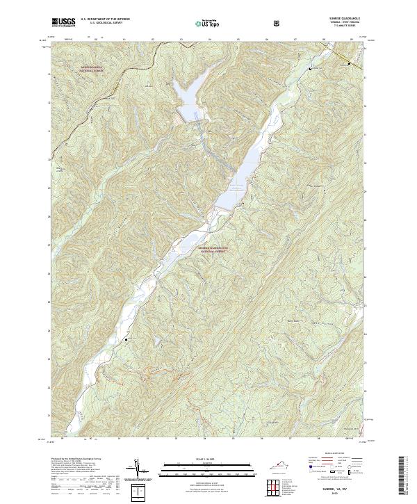 2022 Sunrise2022 Print · USGSBath County at the turn of the 21st century features a massive hydroelectric landscape where the mountains meet the Bath County Pumped Storage Lake. Genealogists and hikers can trace family burial sites like Sively Cem and Doyle Cem or explore the Jackson River Fishing Trl.
 - 2022 Map of Mountain Grove, 2022 Print
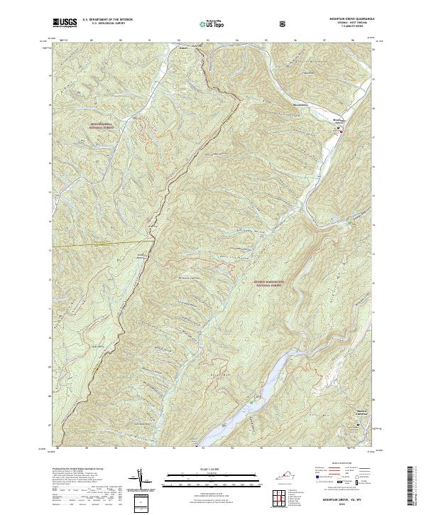 2022 Mountain Grove2022 Print · USGSHigh in the Allegheny Mountains along the Virginia and West Virginia border, this modern survey details a landscape of deep hollows and forest ridges. Genealogists can trace family landmarks like the McClintic Family Cem or find Rimel and the Eden United Methodist Church near the Jackson River.
 - 2022 Map of Bergton, 2022 Print
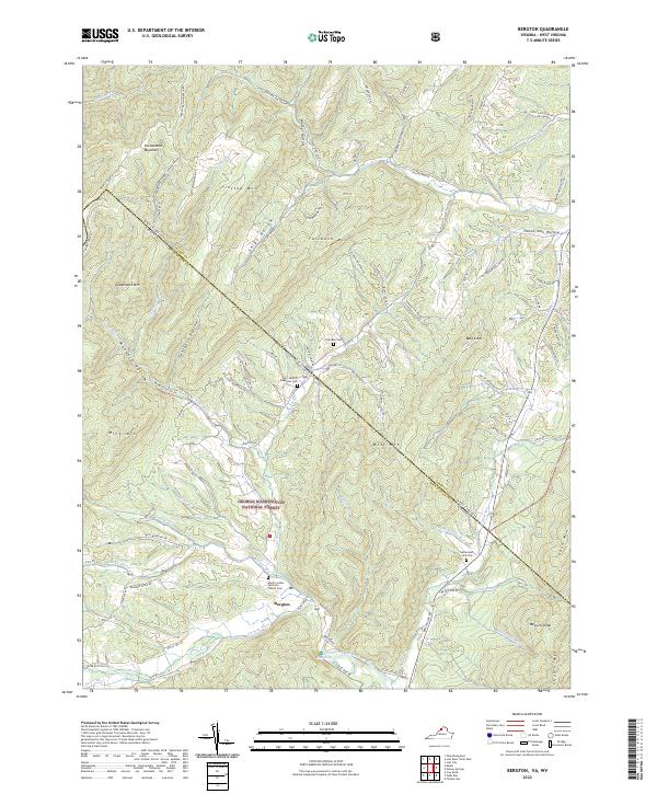 2022 Bergton2022 Print · USGSThe borderlands of Rockingham County and Hardy County come alive in this survey of the northern Shenandoah Valley. Genealogists can trace family landmarks and burial sites like Martin Luther Lutheran Church Cem, Crab Run Cem, and the waters of the German River.
 - 2022 Map of Potts Creek, 2022 Print
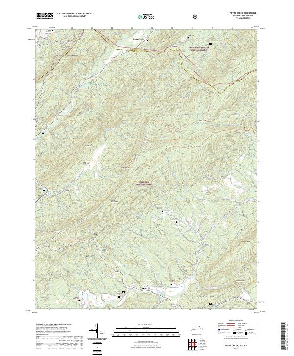 2022 Potts Creek2022 Print · USGSThe Virginia and West Virginia borderlands are shown here in modern detail, where the steep ridges of the George Washington and Jefferson National Forests meet. Genealogists can trace numerous ancestral sites including the McCormick Family Cem, Paxton Cem, and Oak Grove Cem.
 - 2022 Map of Orkney Springs, 2022 Print
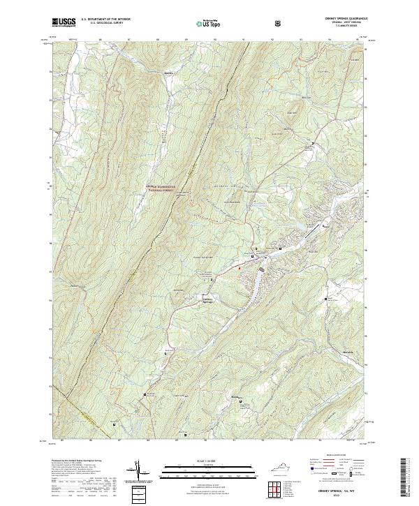 2022 Orkney Springs2022 Print · USGSShenandoah County mountain communities and forest lands are detailed here during the early twenty-first century. Researchers can trace family sites at Woodland Mennonite Church Cem, Basye Cem, and the high ridges of Supin Lick Mtn.
 - 2022 Map of Interior, 2022 Print
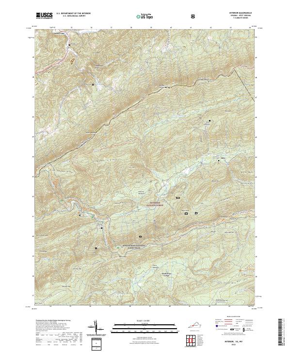 2022 Interior2022 Print · USGSThe West Virginia and Virginia border comes alive in this contemporary topographical view of the Appalachian ridges. Genealogists and hikers can trace the Appalachian National Scenic Trail past several family burial grounds like the Kessinger Family Cem and Harvey Cem.
 - 2022 Map of Craig Springs, 2022 Print
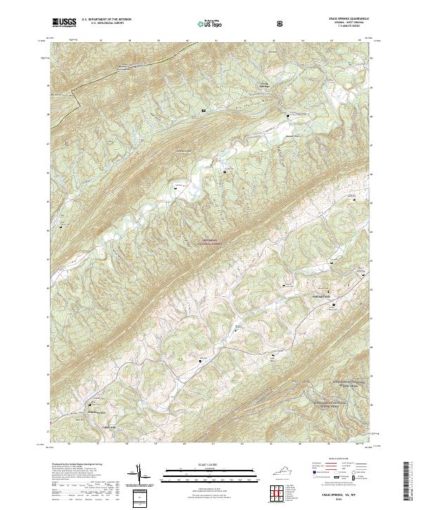 2022 Craig Springs2022 Print · USGSThe mountains of Craig County, Virginia, are captured here in the early twenty-first century, showing the ridges and gaps where families have lived for generations. Researchers can trace land ties at the Huffman Cem, Craig Springs, and the Appalachian National Scenic Trl.
Showing maps 1-25 of 496
Top cities of West Virginia
- Charleston historical maps
- Huntington historical maps
- Parkersburg historical maps
- Morgantown historical maps
- Wheeling historical maps
- Weirton historical maps
See more
Top counties of West Virginia
- Kanawha County historical maps
- Berkeley County historical maps
- Monongalia County historical maps
- Cabell County historical maps
- Wood County historical maps
- Raleigh County historical maps
See more
Frequently asked questions
- What are the different types of historical maps available for West Virginia?
- What is the oldest map of West Virginia?
- Where can I purchase historical maps of West Virginia for my home or office?
- Where can I download high-res historical maps of West Virginia?
- Are there historical topographic maps available for West Virginia?
- Is there historical aerial imagery available for West Virginia?
- Where are historical maps of West Virginia sourced from?