2020s Maps of Lincoln County, Wyoming
Explore 114 historic maps of Lincoln County from the 2020s. These maps offer a rare glimpse into what life looked like during the 2020s — showing old roads, neighborhoods, homes, and landmarks that have changed or disappeared over time.
Whether you're researching your family's past, planning a metal detecting trip, or studying how Lincoln County's landscape evolved across the 2020s, these high-resolution maps are a powerful tool for exploring the history of this region.
- Focus on a specific era: All maps on this page are from the 2020s, giving you a focused view of this time period.
- See what’s changed: Compare century-old streets, trails, and buildings to today's modern landscape using overlays and satellite layers.
- Research with precision: Use these maps for genealogy, historical research, land use analysis, or educational projects.
- View, download, or print: Maps are fully viewable online in high resolution, and can be downloaded or printed for your own records.
Start exploring Lincoln County's history through authentic maps from the 2020s. This is your window into the past.
Lincoln County, WY maps
(114)- 2020 Map of South Lake, 2020 Print
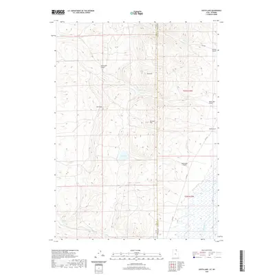 2020 South Lake2020 Print · USGSThe high desert borderlands between Utah and Wyoming are captured here in the recent past, showing the remote drainages of the Bear River basin. Researchers can trace the rugged topography of Lake Ridge and locate vital water sources like Stirrup Spring and South Lake.
 - 2020 Map of Rex Peak, 2020 Print
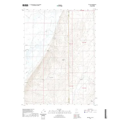 2020 Rex Peak2020 Print · USGSThe high desert borderlands where Utah and Wyoming meet were a focal point for early water engineering. Trace the legacy of historic ranching through irrigation works like the Rex Canal and landmarks such as the Crawford Mountains and Rex Peak.
 - 2020 Map of Boundary Ridge, 2020 Print
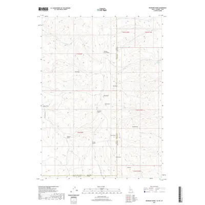 2020 Boundary Ridge2020 Print · USGSHigh desert ranching and the tri-state intersection of Idaho, Utah, and Wyoming define this recent survey of the Bear River Range foothills. Researchers can trace land use patterns through features like Humburg Ranch Rd, Poison Cr Reservoir, and Shearing Corral Hollow.
 - 2020 Map of Elk Valley, 2020 Print
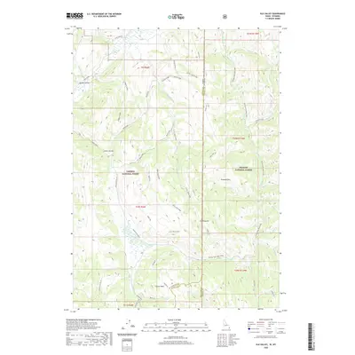 2020 Elk Valley2020 Print · USGSThe high borderlands of the Idaho-Wyoming state line are documented here in the modern era as a sprawling wilderness of national forests. Researchers can trace the remote network of trails and roads leading to The Pinnacle, Weasel Pass, and the Salt Basin.
 - 2020 Map of Border, 2020 Print
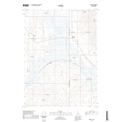 2020 Border2020 Print · USGSThe Idaho and Wyoming state line is defined by river confluences and mountain passes in this recent study of the Bear Lake and Lincoln County border. Researchers can trace intricate water systems like the Raymond Canal and find local hubs like Border Junction and Chausse.
 - 2020 Map of Sage Valley, 2020 Print
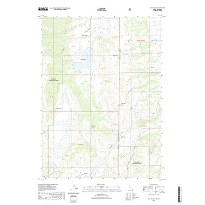 2020 Sage Valley2020 Print · USGSThe high-country border of Idaho and Wyoming comes into focus in this contemporary survey of the Caribou and Bridger National Forests. Genealogists and local historians can trace the paths of Smokey Canyon Rd and Crow Creek Rd through landmarks like Tygee Ridge and Hardmans Hollow.
 - 2020 Map of Geneva, 2020 Print
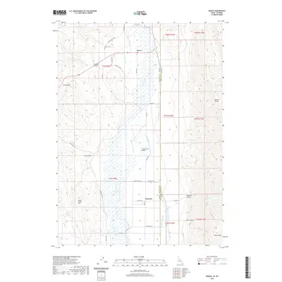 2020 Geneva2020 Print · USGSThe Idaho-Wyoming border comes alive in this modern survey of the Thomas Fork Valley. You can trace rural family roots through the Geneva Cem and Raymond Cem, or follow early water engineering along the Steven Larson Ditch and Raymond Canal.
 - 2020 Map of Mount Baird, 2020 Print
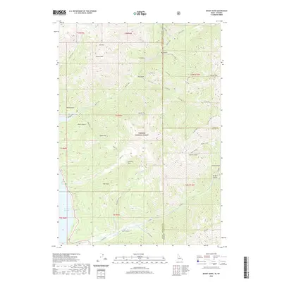 2020 Mount Baird2020 Print · USGSThe Idaho-Wyoming borderlands are captured here in the late twenty-teens, dominated by the peaks of the Targhee National Forest. Trace the high-country drainage from Mt Baird down through Big Elk Creek to the Palisades Reservoir shoreline.
 - 2021 Map of Etna, 2021 Print
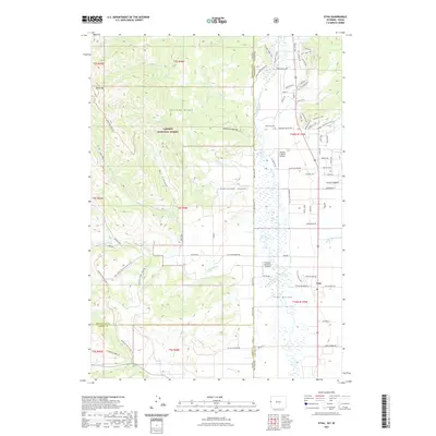 2021 Etna2021 Print · USGSThe Star Valley landscape near the Idaho-Wyoming border is captured here during its recent era of rural development. Researchers can trace the layout of Etna, locate the historic Amesville Cem, and see the influence of the Salt River and Tincup Creek on local settlement patterns.
 - 2021 Map of Leefe, 2021 Print
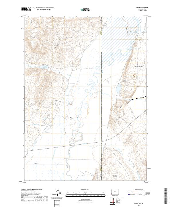 2021 Leefe2021 Print · USGSThe high desert borderlands between Wyoming and Utah are captured here in the early 21st century. Researchers can trace the extensive irrigation networks of the Bear River valley and find landmarks like Leefe, McKinnon Spring, and the Crawford Mountains.
 - 2021 Map of Sawtooth Mountain, 2021 Print
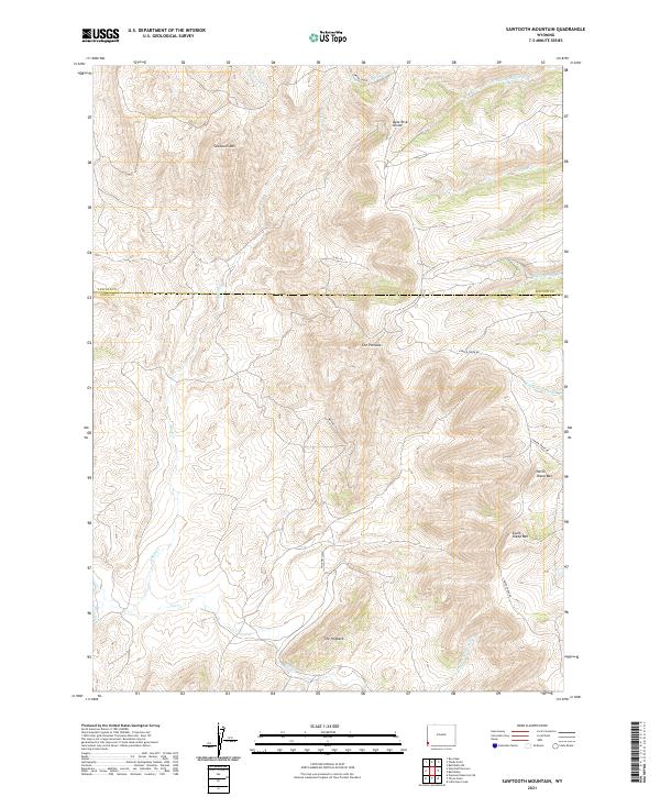 2021 Sawtooth Mountain2021 Print · USGSThe high-country border of Lincoln and Uinta Counties comes into focus in this recent survey of the Bear River Divide. Researchers can trace the drainages of Salt Creek and Alkali Creek while locating landmarks like The Pinnacle and Whitney Field.
 - 2021 Map of Graham Reservoir, 2021 Print
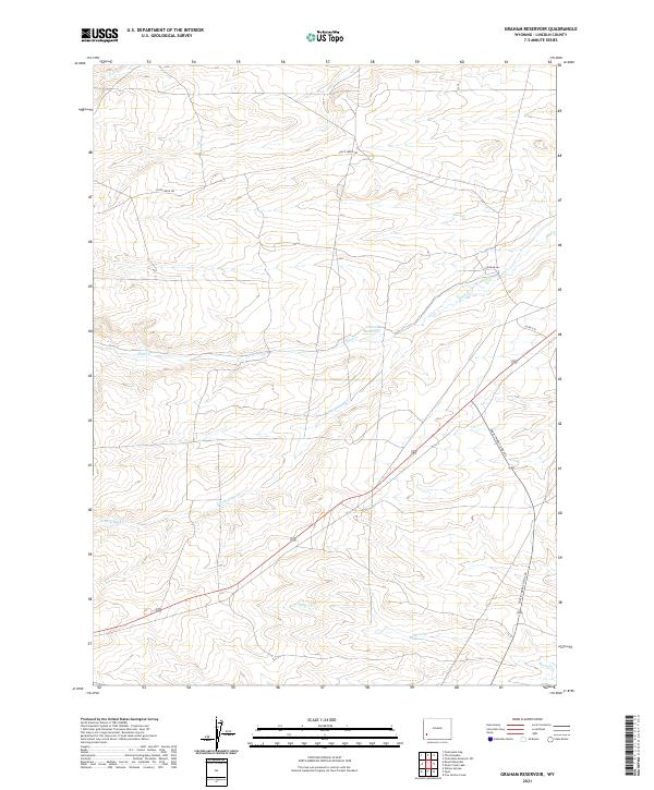 2021 Graham Reservoir2021 Print · USGSLincoln County ranching and water rights take center stage in this recent look at the high desert south of the Green River. Researchers can trace land use patterns along the Slate Creek Trl or locate the vital Graham Reservoir and Shute Cr.
 - 2021 Map of The Rock Slide, 2021 Print
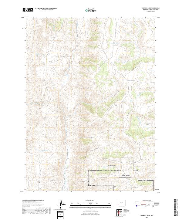 2021 The Rock Slide2021 Print · USGSLincoln County high country is shown here in the 2020s, dominated by the peaks of the Tunp Range. Researchers can trace the steep terrain surrounding Fossil Butte National Monument and locate landmarks like Emigrant Spring.
 - 2021 Map of Elkol SW, 2021 Print
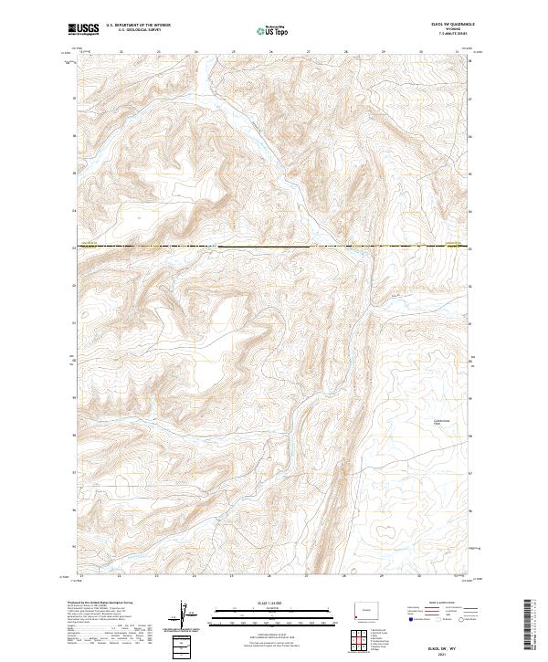 2021 Elkol SW2021 Print · USGSSouthwestern Wyoming at the divide of Lincoln and Uinta counties shows a landscape of historic transit and modern industry. Trace the historic path of the Emigrant Trl as it crosses Little Muddy Cr and the Cumberland Flats.
 - 2021 Map of Little Round Mountain, 2021 Print
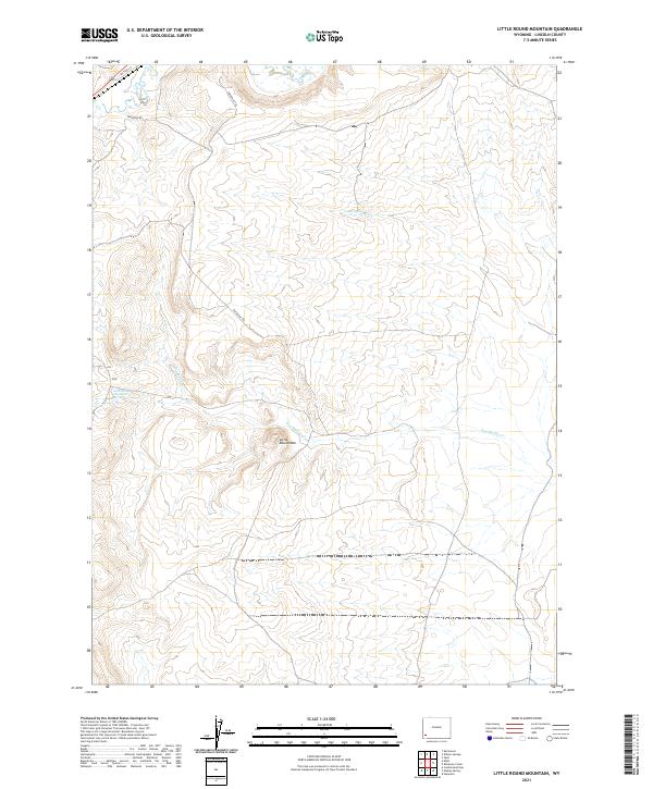 2021 Little Round Mountain2021 Print · USGSThe historical Emigrant Trl winds through Lincoln County in this modern survey of the high Wyoming plains. Researchers can trace the intersection of pioneer history and local geography through landmarks like Little Round Mtn, Dry Muddy Cr, and Hams Fork.
 - 2021 Map of Mulkay Spring, 2021 Print
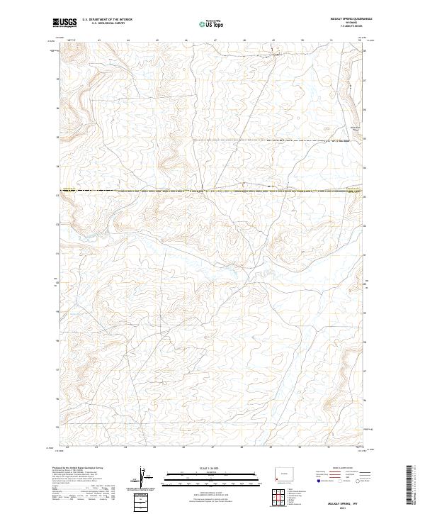 2021 Mulkay Spring2021 Print · USGSSouthwestern Wyoming near the county line is captured here in the early twenty-first century. Researchers can trace seasonal water patterns and local landmarks like Mulkay Spring, Little Muddy Creek, and Desertion Point.
 - 2021 Map of Willow Springs, 2021 Print
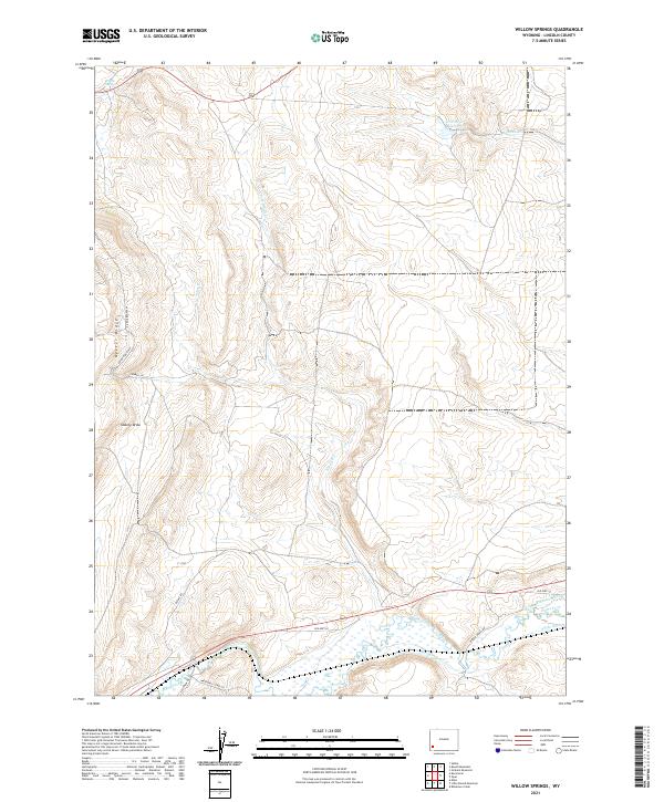 2021 Willow Springs2021 Print · USGSLincoln County’s high desert and the prominent Oyster Ridge are captured here in the early twenty-first century. Researchers can trace historical water rights and ranching routes along Hams Fork and through the Roberson Ditch irrigation network.
 - 2021 Map of Church Butte NW, 2021 Print
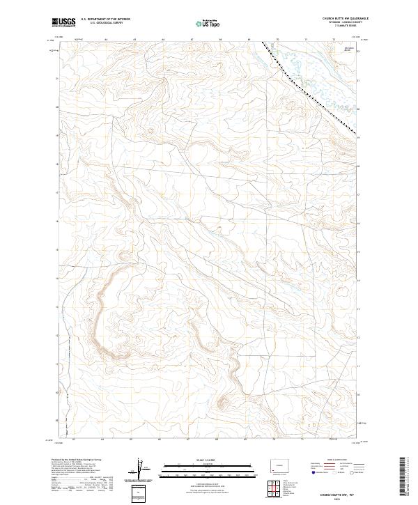 2021 Church Butte NW2021 Print · USGSThe irrigation and ranching landscape of Lincoln County is documented here in the early twenty-first century. Genealogists and researchers can trace local water rights and landforms via Hams Fork, the Old Mexican Ditch, and Chrisman Bench.
 - 2021 Map of Shute Creek Lake, 2021 Print
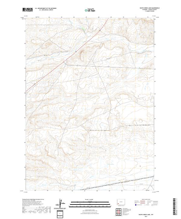 2021 Shute Creek Lake2021 Print · USGSLincoln County’s high basin is captured here in the early twenty-first century, showing the remote rangelands and seasonal waterways of the western Wyoming desert. Genealogists and historians can trace the paths of Slate Creek Trl and the reaches of Shute Cr Lake and Slate Cr.
 - 2021 Map of Kemmerer, 2021 Print
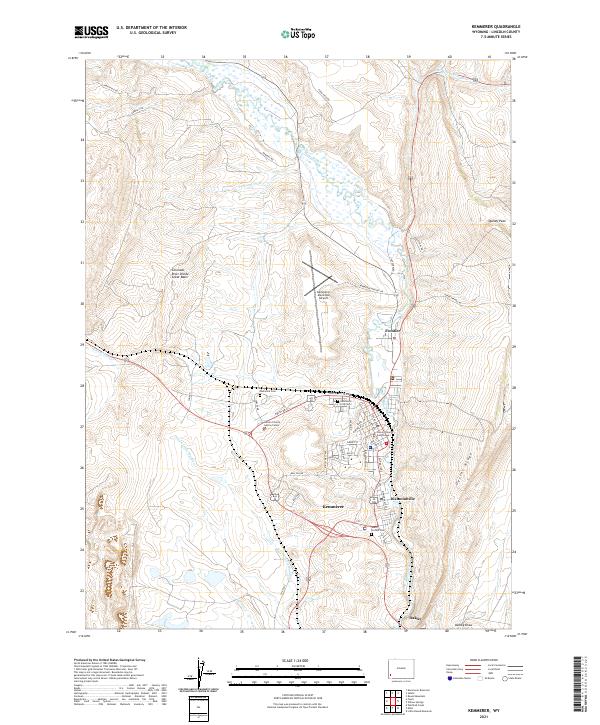 2021 Kemmerer2021 Print · USGSKemmerer and Diamondville are shown at the dawn of the 2020s, clustered along the bends of the Hams Fork. Genealogists and local historians can trace burial sites at Kemmerer City Cem and follow old routes like Dempsey Rd through the high basin.
 - 2021 Map of Nugget, 2021 Print
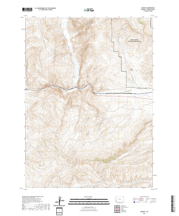 2021 Nugget2021 Print · USGSLincoln County's high-elevation terrain is captured here in the early twenty-first century, featuring the renowned Fossil Butte National Monument. Researchers can trace the path of the Fossil Lake Trl and identify water sources like Ollie Spring or Rock Cr.
 - 2021 Map of Fontenelle, 2021 Print
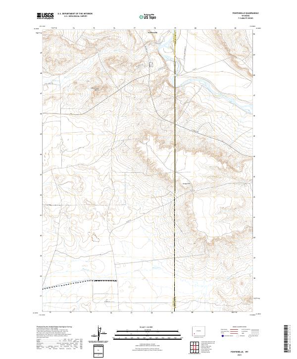 2021 Fontenelle2021 Print · USGSIn this corner of the Wyoming interior, the community of Fontenelle sits along the Green River as it has for generations. Modern researchers can trace the paths of the historical Emigrant Trl and Slate Creek Trl near landmarks like Slate Creek Butte.
 - 2021 Map of Cow Hollow Creek, 2021 Print
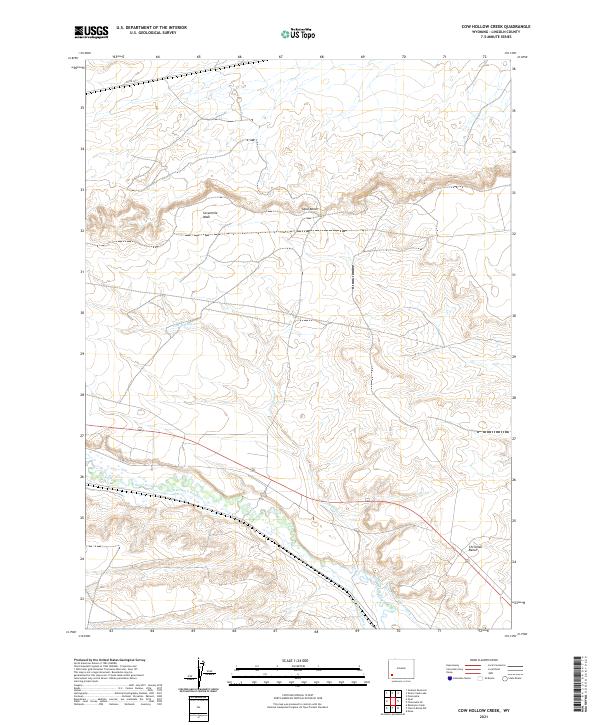 2021 Cow Hollow Creek2021 Print · USGSLincoln County’s high-country landscape is defined here by historic water management and ranching terrain. Researchers can trace early irrigation routes such as the Old Mexican Ditch and Winslow Hallock and Capen Ditch near Chrisman Bench.
 - 2021 Map of Fossil, 2021 Print
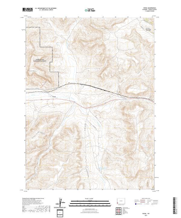 2021 Fossil2021 Print · USGSModern Wyoming ranchlands and ancient fossil beds meet in this contemporary survey of Lincoln County. Researchers can trace the Historic Quarry Trl near the settlement of Fossil or locate landmarks like the C H Smith Reservoir.
 - 2021 Map of Sage, 2021 Print
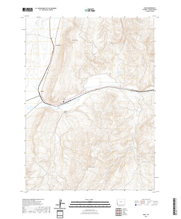 2021 Sage2021 Print · USGSThe high-plateau landscape of Lincoln County appears in detail during the early 2020s. Genealogists and historians can locate the Sage Junction Cem and trace the paths of Twin Cr and Bridger Fork.
Showing maps 1-25 of 114
Top cities of Lincoln County
- Kemmerer historical maps
- Afton historical maps
- Star Valley Ranch historical maps
- Alpine historical maps
- Diamondville historical maps
- Cokeville historical maps
See more
Frequently asked questions
- What are the different types of historical maps available for Lincoln County?
- What is the oldest map of Lincoln County?
- Where can I purchase historical maps of Lincoln County for my home or office?
- Where can I download high-res historical maps of Lincoln County?
- Are there historical topographic maps available for Lincoln County?
- Is there historical aerial imagery available for Lincoln County?
- Where are historical maps of Lincoln County sourced from?