2010s Maps of Lincoln County, Wyoming
Explore 305 historic maps of Lincoln County from the 2010s. These maps offer a rare glimpse into what life looked like during the 2010s — showing old roads, neighborhoods, homes, and landmarks that have changed or disappeared over time.
Whether you're researching your family's past, planning a metal detecting trip, or studying how Lincoln County's landscape evolved across the 2010s, these high-resolution maps are a powerful tool for exploring the history of this region.
- Focus on a specific era: All maps on this page are from the 2010s, giving you a focused view of this time period.
- See what’s changed: Compare century-old streets, trails, and buildings to today's modern landscape using overlays and satellite layers.
- Research with precision: Use these maps for genealogy, historical research, land use analysis, or educational projects.
- View, download, or print: Maps are fully viewable online in high resolution, and can be downloaded or printed for your own records.
Start exploring Lincoln County's history through authentic maps from the 2010s. This is your window into the past.
Lincoln County, WY maps
(305)- 2010 Map of Leefe, 2010 Print
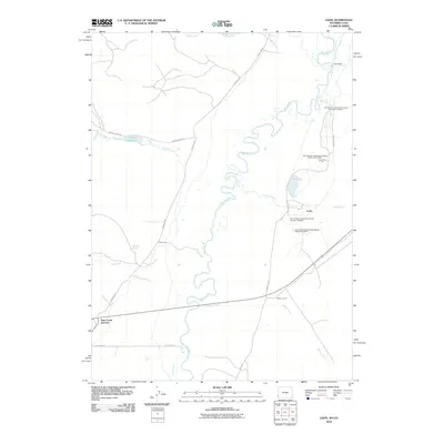 2010 Leefe2010 Print · USGSThe Wyoming-Utah borderlands are defined by industrial phosphate extraction and river meanders in the early twenty-first century. Researchers can trace the extensive operations of the San Francisco Chemical Company near Leefe and Sage Creek Junction.
 - 2010 Map of South Lake, 2010 Print
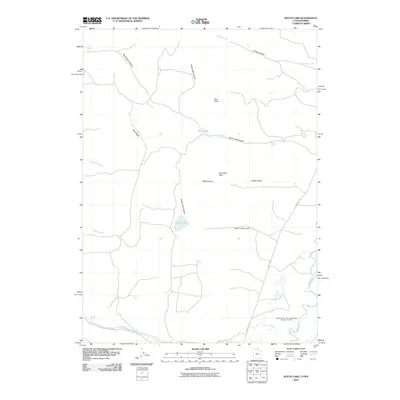 2010 South Lake2010 Print · USGSThe high-desert terrain of Lincoln County is documented here at the start of the 2010s, showing a landscape shaped by water and industry. Researchers can trace the industrial footprint of the San Francisco Chemical Company Number Four Mine or locate secluded water sources like Stirrup Spring and South Lake.
 - 2010 Map of Border, 2010 Print
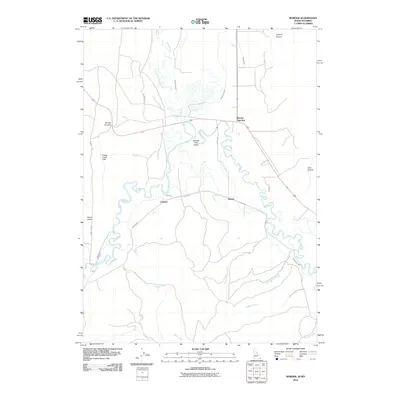 2010 Border2010 Print · USGSThe Idaho-Wyoming state line in 2010 is shown here at the meeting of the Bear River and Thomas Fork. Genealogists and local researchers can trace old ranching routes and water systems near Border Junction, Chausse, and the Thomas Fork Valley.
 - 2010 Map of Geneva, 2010 Print
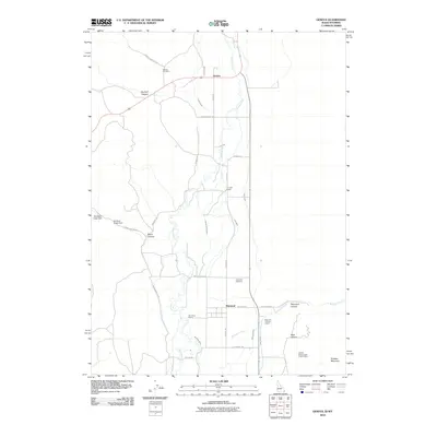 2010 Geneva2010 Print · USGSThe high-desert ranching country of the Idaho-Wyoming border is captured here at the start of the twenty-first century. Researchers can trace family ranch lands like G H Hall Ranch or locate burials at Geneva Cemetery and Raymond Cemetery.
 - 2011 Map of Etna, 2011 Print
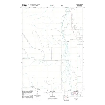 2011 Etna2011 Print · USGSThe Star Valley and the Salt River take center stage in this 2011 record of the Wyoming-Idaho border. Local historians can trace the roads around Etna, explore the terrain of Pat Canyon, or locate the Tincup Campground.
 - 2011 Map of Mount Baird, 2011 Print
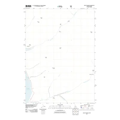 2011 Mount Baird2011 Print · USGSThe Caribou-Targhee National Forest backcountry comes alive in this survey of the high peaks and deep canyons above the Snake River drainage. Researchers can trace forest access routes to the Big Elk Creek Campground or locate landmarks like Hells Hole, Quaker Flat, and Mount Baird.
 - 2011 Map of Alpine, 2011 Print
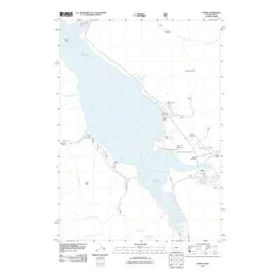 2011 Alpine2011 Print · USGSAlpine and the banks of the Palisades Reservoir are captured here in the early twenty-first century as the area continued to develop as a recreational hub. Researchers can trace the layout of the Alpine Summer Home Area, locate the Alpine Airport, and find local landmarks like the Spencer Call Sand and Gravel Pit.
 - 2011 Map of Giraffe Creek, 2011 Print
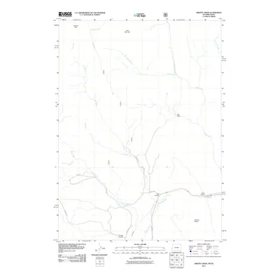 2011 Giraffe Creek2011 Print · USGSLincoln County, Wyoming, is shown here during the early twenty-first century, mapping the high country where Idaho meets the Wyoming range. Researchers can trace land use and water routes through Taylor Canal, Shale Hollow, and the remote heights of Table Mountain.
 - 2011 Map of Elk Valley, 2011 Print
 2011 Elk Valley2011 Print · USGSLincoln County at the turn of the decade is shown as a preserved mountain landscape defined by complex water systems and Forest Service access. Researchers can trace historic landmarks like The Pinnacle and follow the paths of Rock Creek or Little Elk Creek.
 - 2011 Map of Auburn, 2011 Print
 2011 Auburn2011 Print · USGSThe Auburn area of Lincoln County is shown here in the early twenty-first century, where ranching life and mountain terrain meet. Local historians can trace the family legacies of Petersons Ranch and Miller Ranch or locate burials at the Auburn Cemetery.
 - 2011 Map of Rex Peak, 2011 Print
 2011 Rex Peak2011 Print · USGSThe high desert along the Wyoming and Utah border comes into focus in this early 21st-century survey. Genealogists and historians can trace family-named sites such as Kearl Ranch alongside industrial landmarks like Cherokee Mine and Frank Mine.
 - 2011 Map of Woodruff Narrows, 2011 Print
 2011 Woodruff Narrows2011 Print · USGSUinta County water management and high-country passes are documented here in the early twenty-first century. Researchers can trace the drainage of Cottonwood Creek and locate family-named landmarks like Hanks Hill and Gil Smith Spring.
 - 2011 Map of Thayne West, 2011 Print
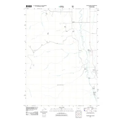 2011 Thayne West2011 Print · USGSThe Star Valley borderlands come into focus at the start of the 2010s, where the Wyoming and Idaho line splits the town of Freedom. Researchers can trace the path of the Salt River and locate family landmarks like the Freedom Cemetery or Haderlie Knoll.
 - 2011 Map of Sage Valley, 2011 Print
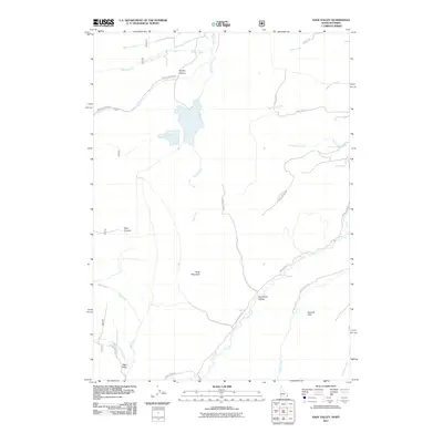 2011 Sage Valley2011 Print · USGSSage Valley and the Gannett Hills are shown in this high-country survey from the early twenty-first century. Researchers can trace the drainage of Tygee Creek, locate the heights of Buck Mountain, and follow historical paths like Lander Ln and Smokey Canyon Rd.
 - 2011 Map of Boundary Ridge, 2011 Print
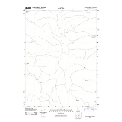 2011 Boundary Ridge2011 Print · USGSLincoln County, Wyoming, and the adjacent borders of Idaho and Utah are mapped here during the early twenty-first century. Researchers can trace the ranching landscape through features like Nurenberg Ranch Rd, Poison Creek Reservoir, and Taylor Meadow.
 - 2012 Map of Graham Reservoir, 2012 Print
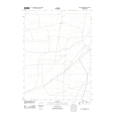 2012 Graham Reservoir2012 Print · USGSLincoln County's high plains are shown in the early twenty-first century, where modern infrastructure meets historic westward paths. Researchers can trace the path of the Emigrant Trl and locate water sources like Graham Reservoir and Shute Cr.
 - 2012 Map of Kemmerer Reservoir, 2012 Print
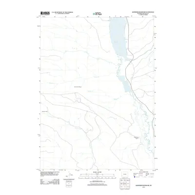 2012 Kemmerer Reservoir2012 Print · USGSLincoln County’s high country is captured here during the early twenty-first century, centered on vital water resources. Researchers can trace the hydrologic network from Lake Viva Naughton down to the Kemmerer Reservoir and into Quakenasp Canyon.
 - 2012 Map of Hampton, 2012 Print
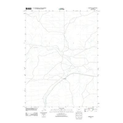 2012 Hampton2012 Print · USGSHampton and the surrounding Uinta County basin are shown in this 2012 survey of the Wyoming high plains. You can trace the winding paths of Muddy Creek and Little Muddy Creek as they converge near the settlement of Hampton.
 - 2012 Map of Shute Creek Lake, 2012 Print
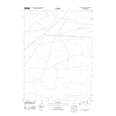 2012 Shute Creek Lake2012 Print · USGSLincoln County in the early twenty-first century remains a landscape shaped by its historic travel corridors and water drainage. Researchers can trace the path of the Emigrant Trl or locate landmarks like Shute Creek Lake and Slate Cr.
 - 2012 Map of Mulkay Spring, 2012 Print
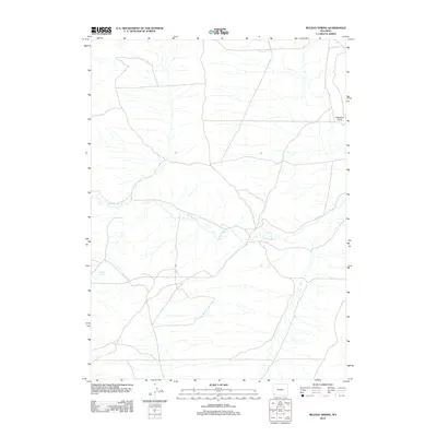 2012 Mulkay Spring2012 Print · USGSSouthwestern Wyoming’s high desert landscape is documented here in the early twenty-first century, showcasing the vital water networks of the region. Local researchers and surveyors can trace the course of Little Muddy Cr and locate isolated landmarks like Mulkay Spring and Desertion Point.
 - 2012 Map of Church Butte, 2012 Print
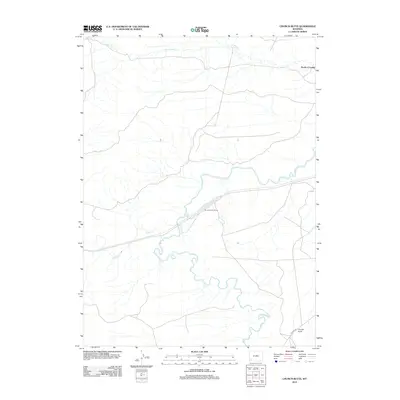 2012 Church Butte2012 Print · USGSUinta County's high-desert landscape is captured here in the early twenty-first century, showing the enduring paths of water and rail across the basin. Researchers can trace the Church Buttes Siding and historical transit points like Rocky Crossing near Church Butte.
 - 2012 Map of Church Butte NW, 2012 Print
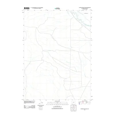 2012 Church Butte NW2012 Print · USGSThe high plains of Lincoln County come into focus during the early twenty-first century, showing a landscape defined by ranching and water management. Researchers can trace historical irrigation through the Old Mexican Ditch, Hams Fork, and Chrisman Bench.
 - 2012 Map of Moxa, 2012 Print
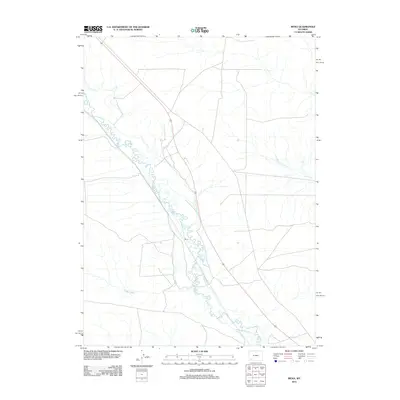 2012 Moxa2012 Print · USGSMoxa and the surrounding Lincoln County ranchlands are documented here in the early twenty-first century. Researchers can trace the intricate irrigation network of the region through labels such as the Philbrick and Johnson Ditch and Ziegler Ditch.
 - 2012 Map of Roberson Creek, 2012 Print
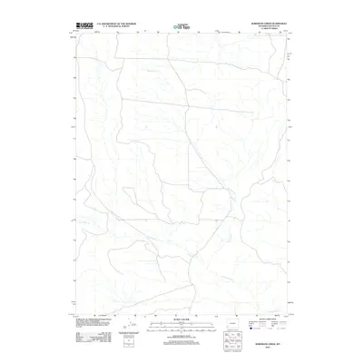 2012 Roberson Creek2012 Print · USGSLincoln County’s open range is captured here in the early twenty-first century, showing a landscape defined by its vital water sources. Genealogists and land researchers can trace the course of Roberson Cr and Dry Muddy Cr, or locate the isolated Roberson Spring.
 - 2012 Map of Warfield Creek, 2012 Print
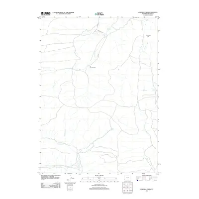 2012 Warfield Creek2012 Print · USGSLincoln County cattle country and high desert basins are captured here in the early twenty-first century. Researchers can trace historic ranching footprints at Old Dutch John Ranch or follow the paths of Little Muddy Cr and Warfield Cr.
Showing maps 1-25 of 305
Top cities of Lincoln County
- Kemmerer historical maps
- Afton historical maps
- Star Valley Ranch historical maps
- Alpine historical maps
- Diamondville historical maps
- Cokeville historical maps
See more
Frequently asked questions
- What are the different types of historical maps available for Lincoln County?
- What is the oldest map of Lincoln County?
- Where can I purchase historical maps of Lincoln County for my home or office?
- Where can I download high-res historical maps of Lincoln County?
- Are there historical topographic maps available for Lincoln County?
- Is there historical aerial imagery available for Lincoln County?
- Where are historical maps of Lincoln County sourced from?