Old Maps of Powell, Wyoming for Genealogy
Trace your family roots with 30 historic maps of Powell. These high-res maps reveal old neighborhoods, homesites, landmarks, and streets — helping you uncover where your ancestors lived and how the area evolved over time.
- Explore historic neighborhoods: Identify where your relatives may have lived in the 1800s or 1900s.
- Compare maps over time: Trace the changes in streets, buildings, and landmarks for multi-generational research.
- Perfect for genealogy & ancestry research: Used by family historians and researchers to map out lineage and migration.
These maps are an incredible resource for exploring your personal connection to Powell's past.
Powell, WY maps
(30)- 1955 Map of Cody, 1969 Print
 1955 Cody1969 Print · USGSThe Bighorn Basin and Absaroka Range meet in the mid-fifties, capturing a landscape defined by mountain wilderness and burgeoning oil fields. Trace family roots in Cody or Meeteetse, and locate industrial landmarks like the Elk Basin Oil and Gas Field and the Chicago Burlington and Quincy RR.2 unique versions available
 - 1958 Map of Cody
 1958 Cody1958 Print · USGSNorthwestern Wyoming at the peak of the mid-century energy and ranching boom shows a land of high peaks and oil basins. Researchers can trace the Chicago Burlington and Quincy rail lines through Greybull or locate the sprawling Elk Basin Oil and Gas Field.
 - 1962 Map of Cody
 1962 Cody1962 Print · USGSBig Horn Basin energy and agriculture define this mid-century look at Wyoming’s northern frontier. Local historians can trace the irrigation and rail networks connecting Cody and Powell to major energy sites like the Oregon Basin Oil Field.
 - 1966 Map of Garland, 1969 Print
 1966 Garland1969 Print · USGSThe irrigated plains of Park County come into focus during the mid-sixties as agricultural grids expand across Powell Flats. Researchers can trace the historic Jim Bridger Trail or locate family plots at Crown Hill Cemetery near Powell.2 unique versions available
 - 1966 Map of Elk Basin, 1969 Print
 1966 Elk Basin1969 Print · USGSThe northern Wyoming oil frontier is captured here in the mid-1960s, showing a landscape defined by energy production. Researchers can trace the extensive infrastructure of the Elk Basin Oil Field and the Sulphur Plant, or locate the original site of the Powell Municipal Airport.2 unique versions available
 - 1966 Map of Elk Basin SE, 1969 Print
 1966 Elk Basin SE1969 Print · USGSThe agricultural heart of Park County is captured in the mid-1960s as the town of Powell expanded along its rigid irrigation grid. Researchers can trace the development of Powell Flats and locate specific homesteads near Frannie Canal or along Lane Nine.2 unique versions available
 - 1966 Map of Gilmore Hill NW, 1970 Print
 1966 Gilmore Hill NW1970 Print · USGSPark County, Wyoming, is shown here during the mid-1960s as a landscape defined by the irrigation of the Big Horn Basin. Researchers can trace the path of the Jim Bridger Trail and the complex water systems of the Elk Lovell Canal and Willwood Draw.2 unique versions available
 - 1967 Map of Ralston, 1971 Print
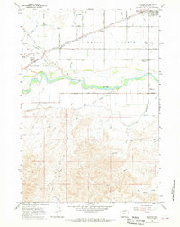 1967 Ralston1971 Print · USGSIn the Big Horn Basin during the late 1960s, a complex network of canals and numbered roads transformed the high desert into productive farmland. Genealogists and historians can trace the grid of Ralston Flats, the route of the Chicago Burlington and Quincy, and the southern trails around Willwood.2 unique versions available
 - 1980 Map of Powell, 1982 Print
 1980 Powell1982 Print · USGSThe Bighorn Basin in the 1980s shows a landscape where irrigation and rail transformed the high desert near the Montana border. Researchers can trace the path of the Burlington Northern line through historic stops like Garland, Frannie, and Deaver.
 - 2011 Map of Elk Basin, 2011 Print
 2011 Elk Basin2011 Print · USGSThe high Wyoming borderlands appear in this early 21st-century survey, dominated by the industrial infrastructure of the Elk Basin Oil Field. Researchers can trace the extensive network of service roads and natural features like the Silvertip Mine and Silver Tip Creek.
 - 2012 Map of Gilmore Hill NW, 2012 Print
 2012 Gilmore Hill NW2012 Print · USGSThe northern Big Horn Basin comes into focus in the early twenty-first century, showing a landscape defined by irrigation and early trails. Researchers can trace the path of the Jim Bridger Trl or locate the uniquely named Bunch Grass Intergalactic Airport.
 - 2012 Map of Garland, 2012 Print
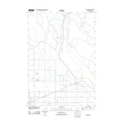 2012 Garland2012 Print · USGSPark County farmland is defined by an intricate irrigation system in the early twenty-first century. Family researchers and historians can trace local landmarks like Crown Hill Cemetery, the Jim Bridger Trl, and the small community of Garland.
 - 2012 Map of Ralston, 2012 Print
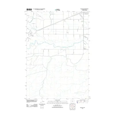 2012 Ralston2012 Print · USGSPark County at the start of the 2010s shows a landscape transformed by intensive irrigation and river valley settlement. Trace the grid of rural roads and canals that shaped this community, including the Garland Canal, the town of Ralston, and the banks of the Shoshone River.
 - 2012 Map of Elk Basin, 2012 Print
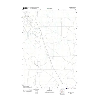 2012 Elk Basin2012 Print · USGSElk Basin at the Wyoming-Montana border reveals a landscape defined by the energy industry and aviation in the early 2000s. Researchers can trace the infrastructure of the Elk Basin Oil Field and locate the Powell Municipal Airport near Silver Tip Cr.
 - 2012 Map of Elk Basin SE, 2012 Print
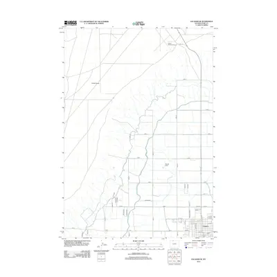 2012 Elk Basin SE2012 Print · USGSPowell and the surrounding Big Horn Basin are shown here in the early twenty-first century, revealing a landscape defined by irrigation and high-desert agriculture. Researchers can trace the path of the Frannie Canal and locate rural landmarks like Powell Municipal Airport and Polecat Bench.
 - 2015 Map of Garland, 2015 Print
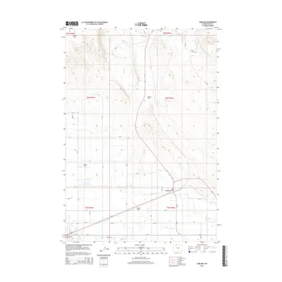 2015 Garland2015 Print · USGSThe agricultural plains of northern Wyoming are captured here in the mid-2010s, showcasing a landscape defined by its irrigation heritage. Genealogists and local historians can locate Crown Hill Cem or trace the routes of the Frannie Canal and the settlement at Garland.
 - 2015 Map of Elk Basin, 2015 Print
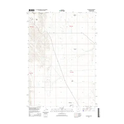 2015 Elk Basin2015 Print · USGSThe Bighorn Basin comes into sharp focus during the mid-2010s, showing the high-desert landscape north of the Shoshone River. Researchers can trace the rugged contours of Polecat Bench or locate the Powell Municipal Airport and Elk Basin near the state line.
 - 2015 Map of Elk Basin SE, 2015 Print
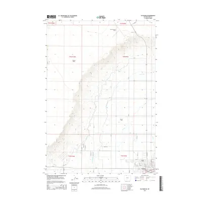 2015 Elk Basin SE2015 Print · USGSIn the Big Horn Basin during the mid-2010s, the town of Powell thrives as a center for education and irrigated agriculture. Researchers can trace the local water infrastructure through the Frannie Canal and locate the campus of Northwest College.
 - 2015 Map of Ralston, 2015 Print
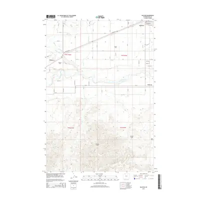 2015 Ralston2015 Print · USGSThe Bighorn Basin's transformation into a productive agricultural hub is on full display here in the mid-2010s. Researchers can trace the essential irrigation network of the Garland Canal and Frannie Canal that sustains Ralston and Powell.
 - 2015 Map of Gilmore Hill NW, 2015 Print
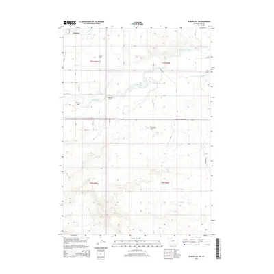 2015 Gilmore Hill NW2015 Print · USGSThe Shoshone River valley and the agricultural community of Powell are captured here in a detailed survey of Park County’s irrigation and trail networks. Researchers can trace the Jim Bridger Trl and local landmarks like the Bunch Grass Intergalactic Airport or the Elk Lovell Canal.
 - 2017 Map of Ralston, 2017 Print
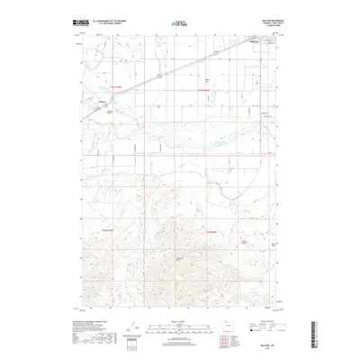 2017 Ralston2017 Print · USGSPark County agriculture and irrigation come into focus in the years following the turn of the millennium. Trace the vital water systems of the Garland Canal and Frannie Canal as they serve the communities of Ralston and Powell Flats.
 - 2017 Map of Garland, 2017 Print
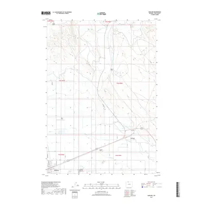 2017 Garland2017 Print · USGSPark County is shown here at the peak of its modern agricultural development, centered on the irrigation-rich lands around Powell. Researchers can trace old family burial sites at Crown Hill Cem or follow the historic path of the Jim Bridger Trl.
 - 2017 Map of Elk Basin, 2017 Print
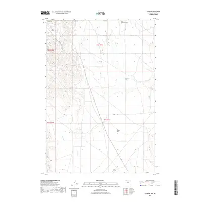 2017 Elk Basin2017 Print · USGSPark County, Wyoming, is captured here in the late twenty-teens, showing the remote borderlands between the Big Horn Basin and Montana. Researchers can trace the rugged topography of Elk Basin and Polecat Bench or locate the Powell Municipal Airport.
 - 2017 Map of Gilmore Hill NW, 2017 Print
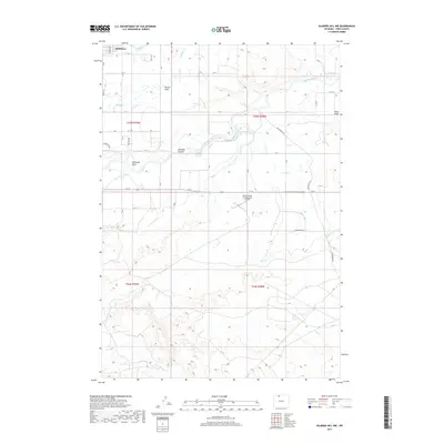 2017 Gilmore Hill NW2017 Print · USGSThe irrigated plains of Park County come alive in this recent survey, showing the agricultural expansion around Powell. Genealogists and historians can trace the paths of the Jim Bridger Trl or locate landmarks like the Bunch Grass Intergalactic Airport.
 - 2018 Map of Elk Basin SE, 2018 Print
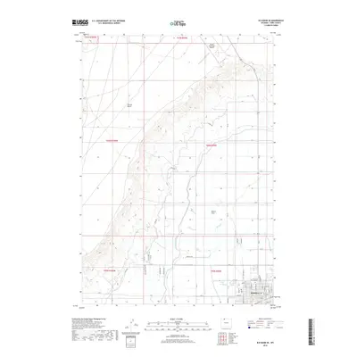 2018 Elk Basin SE2018 Print · USGSPowell and its surrounding agricultural flats are captured here in the late twenty-teens, showcasing a landscape transformed by irrigation. Researchers can trace the layout of Northwest College, the reaches of the Frannie Canal, and landmarks like Polecat Bench.
Showing maps 1-25 of 30
Top cities near Powell
Frequently asked questions
- What are the different types of historical maps available for Powell?
- What is the oldest map of Powell?
- Where can I purchase historical maps of Powell for my home or office?
- Where can I download high-res historical maps of Powell?
- Are there historical topographic maps available for Powell?
- Is there historical aerial imagery available for Powell?
- Where are historical maps of Powell sourced from?