2010s Maps of Hoback, Wyoming
Explore 30 historic maps of Hoback from the 2010s. These maps offer a rare glimpse into what life looked like during the 2010s — showing old roads, neighborhoods, homes, and landmarks that have changed or disappeared over time.
Whether you're researching your family's past, planning a metal detecting trip, or studying how Hoback's landscape evolved across the 2010s, these high-resolution maps are a powerful tool for exploring the history of this region.
- Focus on a specific era: All maps on this page are from the 2010s, giving you a focused view of this time period.
- See what’s changed: Compare century-old streets, trails, and buildings to today's modern landscape using overlays and satellite layers.
- Research with precision: Use these maps for genealogy, historical research, land use analysis, or educational projects.
- View, download, or print: Maps are fully viewable online in high resolution, and can be downloaded or printed for your own records.
Start exploring Hoback's history through authentic maps from the 2010s. This is your window into the past.
Hoback, WY maps
(30)- 2012 Map of Camp Davis, 2012 Print
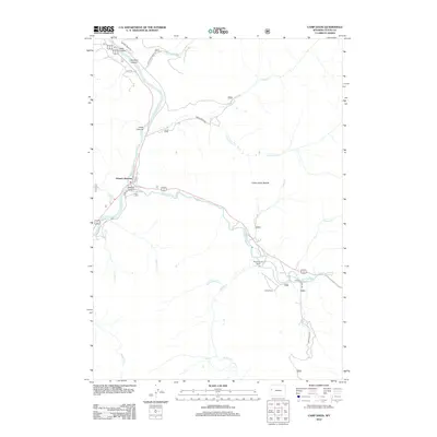 2012 Camp Davis2012 Print · USGSThe confluence of the Snake and Hoback rivers defines this Wyoming mountain landscape in the early 2010s. Researchers can trace the layout of Hoback Junction and find historical landmarks like Camp Davis and Stinking Springs.
 - 2012 Map of Teton Pass, 2012 Print
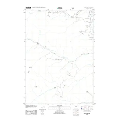 2012 Teton Pass2012 Print · USGSThe high Teton range and its challenging mountain crossings are meticulously detailed here in the early twenty-first century. Researchers can trace historical routes like Old Pass Rd and locate local landmarks such as Elliott Cem and Trail Creek Ranch.
 - 2012 Map of Turquoise Lake, 2012 Print
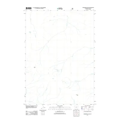 2012 Turquoise Lake2012 Print · USGSTeton County's high backcountry is detailed here in the early twenty-first century, showing the remote alpine topography of the Gros Ventre Range. You can trace the headwaters of Granite Cr and locate high-altitude landmarks like Turquoise Lake and Cache Peak.
 - 2012 Map of Munger Mountain, 2012 Print
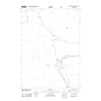 2012 Munger Mountain2012 Print · USGSTeton County's mountain terrain and river valleys are documented here during the early twenty-first century. Researchers can locate remote sites like the Bureau of Public Roads Camp, trace the winding Snake River, and find the Astoria Mineral Hot Springs.
 - 2012 Map of Observation Peak, 2012 Print
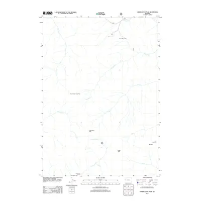 2012 Observation Peak2012 Print · USGSThe high peaks of the Wyoming Rockies are captured here in the early twenty-first century, showcasing a landscape defined by steep summits and deep canyons. Researchers can trace remote alpine routes through North Indian Creek Pass or explore the drainage of Deadhorse Canyon and Lake Basin.
 - 2012 Map of Bull Creek, 2012 Print
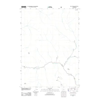 2012 Bull Creek2012 Print · USGSThe Hoback River corridor is captured here in the early 2000s, showing the intersection of high mountain peaks and vital canyon waterways. Researchers can trace the drainage of Bull Cr and Horse Cr or locate established recreational sites like Hoback Campground.
 - 2012 Map of Bailey Lake, 2012 Print
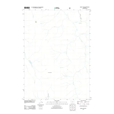 2012 Bailey Lake2012 Print · USGSThe high Teton country comes into focus in this recent survey of the wilderness near Hoback. Researchers can trace the drainages and primitive roads around Rimrock Ranch or locate isolated water bodies like Bailey Lake and Waterdog Lake.
 - 2012 Map of Jackson, 2012 Print
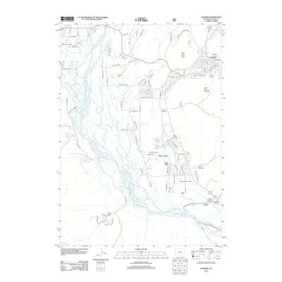 2012 Jackson2012 Print · USGSJackson and the Snake River valley are captured in this early 21st-century survey as the community expanded southward. Researchers can trace the development of Rafter J Ranch and South Park or locate family landmarks like Aspen Hill Cem and Boyles Hill.
 - 2012 Map of Pine Creek, 2012 Print
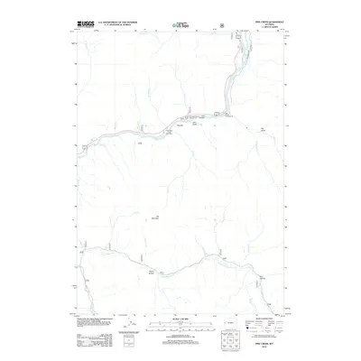 2012 Pine Creek2012 Print · USGSThe Snake River corridor in western Wyoming is captured here in the early twenty-first century, showing the intersection of vital waterways and seasonal recreation. Modern researchers can locate access points like the West Table Creek Boat Ramp and landmarks such as Elk Mountain or Bull Hollow.
 - 2012 Map of Cache Creek, 2012 Print
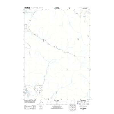 2012 Cache Creek2012 Print · USGSThe high peaks and drainages east of Jackson are captured here during the early twenty-first century. Researchers can trace the rugged topography of Woods Canyon and the reach of the Snake River alongside named landmarks like Nowlin Peak and Salt Lick Draw.
 - 2015 Map of Turquoise Lake, 2015 Print
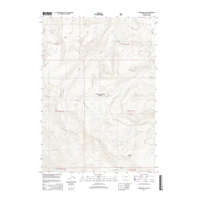 2015 Turquoise Lake2015 Print · USGSTeton County and the high peaks of the Gros Ventre Range appear here during the mid-2010s. Researchers and hikers can trace remote wilderness routes like the Granite Highline and Turquoise Lake Cut-Off toward Turquoise Lake.
 - 2015 Map of Bailey Lake, 2015 Print
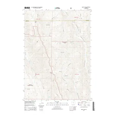 2015 Bailey Lake2015 Print · USGSHigh in the Wyoming Range during the early twenty-first century, this map shows a remote landscape shaped by mineral exploration and wilderness recreation. Researchers can trace land use patterns near Phosphate deposits or locate distinctive landmarks like Bailey Lake and Pow Wow Point.
 - 2015 Map of Observation Peak, 2015 Print
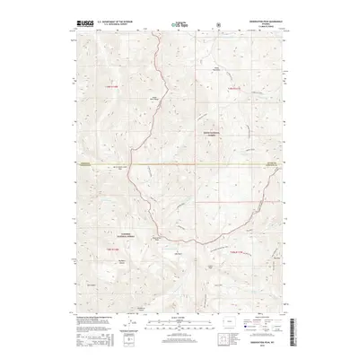 2015 Observation Peak2015 Print · USGSThe high wilderness of the Snake River Range is captured here in the mid-2010s, showing the intersection of two national forests. Trace the alpine routes used by generations of backcountry travelers, including the Divide Trail, North Indian Creek Pass, and the high waters of Lake Basin.
 - 2015 Map of Munger Mountain, 2015 Print
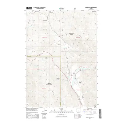 2015 Munger Mountain2015 Print · USGSThe Hoback River valley and the Snake River Range are shown in detail as they appeared during the mid-2010s. Researchers can locate the Astoria Mineral Hot Springs, the settlement of Hoback, and landmarks like Johnny Counts Flat and Pritchard Pass.
 - 2015 Map of Pine Creek, 2015 Print
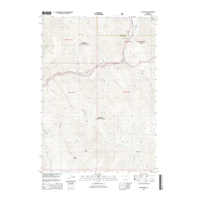 2015 Pine Creek2015 Print · USGSThe convergence of three National Forests in the Wyoming high country is captured here during the mid-2010s. Researchers can trace the drainage of the Little Greys River and identify landmarks like Pine Bar, Elk Mtn, and the Grand Canyon.
 - 2015 Map of Cache Creek, 2015 Print
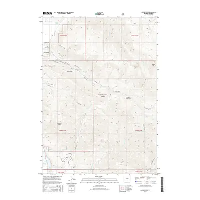 2015 Cache Creek2015 Print · USGSJackson sits at the edge of the high Tetons in the mid-2010s, where the valley floor meets the steep ascent of the Teton National Forest. Trace the network of local footpaths and canyons including Wilson Canyon, Jackson Peak, and the Crystal Butte Trail.
 - 2015 Map of Teton Pass, 2015 Print
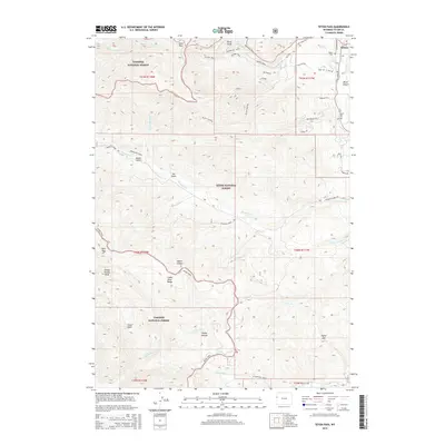 2015 Teton Pass2015 Print · USGSThe high mountain crossing at Teton Pass and the settlement of Wilson appear here in the mid-2010s during a period of modern forest management. Researchers can trace historic access routes like Old Pass Rd and History Trail or locate the quiet Elliott Cem.
 - 2015 Map of Camp Davis, 2015 Print
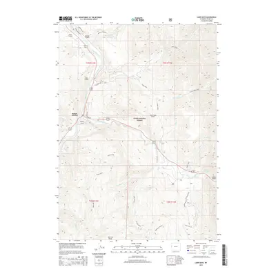 2015 Camp Davis2015 Print · USGSTeton County’s mountainous river confluences are documented here in the mid-2010s as modern forest management meets old mountain roads. Researchers can trace historic access points like the Swinging Bridge and the Old Yellowstone Rd near Hoback Junction.
 - 2015 Map of Jackson, 2015 Print
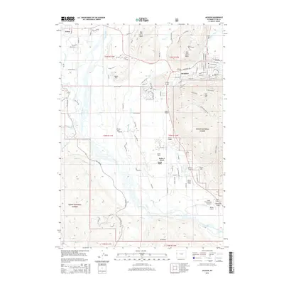 2015 Jackson2015 Print · USGSJackson and the valley of the Snake River appear in high detail in the mid-2010s, showing the town's expansion and its unique mountain-valley geography. Researchers can locate specific sites from Snow King Mountain to Melody Ranch Airport and the rural South Park area.
 - 2015 Map of Bull Creek, 2015 Print
 2015 Bull Creek2015 Print · USGSThe high peaks and deep canyons of the Gros Ventre Range are documented here in the early twenty-first century. Researchers can trace the rugged topography of Teton National Forest using landmarks like Cream Puff Peak, Battle Mtn, and the Hoback River.
 - 2017 Map of Jackson, 2017 Print
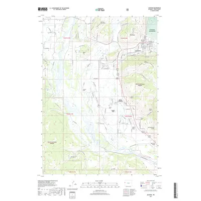 2017 Jackson2017 Print · USGSJackson and the surrounding valley floor are shown in detail during the late twenty-tens, capturing the town's expansion toward the Snake River. Researchers can locate Saint John's Episcopal Church, South Park Cem, and the boundaries of the National Elk Refuge.
 - 2017 Map of Camp Davis, 2017 Print
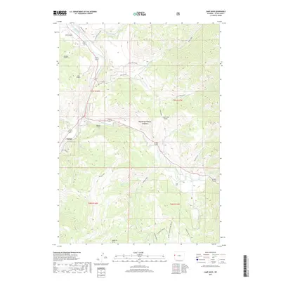 2017 Camp Davis2017 Print · USGSThe convergence of the Snake and Hoback Rivers defines this mountain landscape during the early twenty-first century. Researchers can trace forest access via Horse Creek Rd, locate the site of Camp Davis, and follow the Wyoming Range National Recreation Trail.
 - 2017 Map of Bailey Lake, 2017 Print
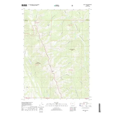 2017 Bailey Lake2017 Print · USGSThe high backcountry of the Teton and Lincoln county line is shown in great detail in this contemporary survey. Historians and outdoor researchers can trace the drainages of Phosphate Creek and Willow Creek or locate landmarks like Bailey Lake and Pow Wow Point.
 - 2017 Map of Turquoise Lake, 2017 Print
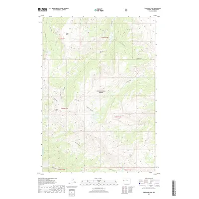 2017 Turquoise Lake2017 Print · USGSTeton County’s high backcountry in the 2010s remains a landscape defined by its alpine lakes and primitive ridgeline routes. Explore the geography of the Teton National Forest through features like Turquoise Lake, Table Mtn, and the historic Granite Highline.
 - 2017 Map of Munger Mountain, 2017 Print
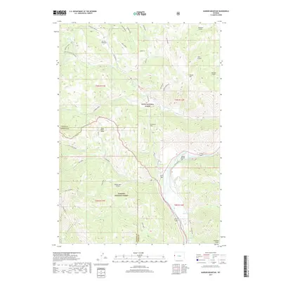 2017 Munger Mountain2017 Print · USGSThe high ridges of the Wyoming-Idaho border country come alive in this 2017 survey of the Snake River Range. Researchers can trace the path of the Snake River past Astoria Mineral Hot Springs and through the remote canyons of the Teton National Forest.
Showing maps 1-25 of 30
Top cities near Hoback
Top neighborhoods of Hoback
Frequently asked questions
- What are the different types of historical maps available for Hoback?
- What is the oldest map of Hoback?
- Where can I purchase historical maps of Hoback for my home or office?
- Where can I download high-res historical maps of Hoback?
- Are there historical topographic maps available for Hoback?
- Is there historical aerial imagery available for Hoback?
- Where are historical maps of Hoback sourced from?