
1892 Map of Abilene
USGS Topo · Published 1892About this map
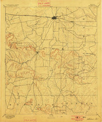
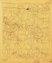
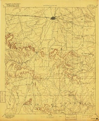
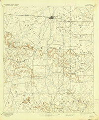
The Texas and Pacific Railway serves as the primary artery for commerce and transit in this late nineteenth-century view, centered on the growing rail hub of Abilene. While the railroad facilitates the expansion of northern Taylor County, the surrounding landscape is defined by the prominent mesas and peaks of the Callahan Divide. The settlement pattern reveals the shift in regional importance; while Buffalo Gap was once the seat of power, the influence of the rail line is evident in the development of siding stops like Elmdale.
Find a feature on this map
39 named features on this map. Tap any name to fly to it.
Don’t see what you’re looking for? This feature index may not catch every label — zoom into the map to look around manually.
Map Details
Editions of this 1892 Abilene Map
5 editions found
Other maps of this area

1887 · Coleman
USGS Topo · 1:125,000

1889 · Coleman
USGS Topo · 1:125,000

1890 · Abilene
USGS Topo · 1:125,000

1891 · Hayrick
USGS Topo · 1:125,000

1891 · Anson
USGS Topo · 1:125,000

1892 · Ballinger
USGS Topo · 1:125,000

1892 · Albany
USGS Topo · 1:125,000

1893 · Albany
USGS Topo · 1:125,000

1893 · Roby
USGS Topo · 1:125,000

1893 · Anson
USGS Topo · 1:125,000