
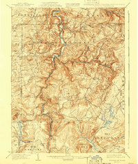
1900 Map of Accident
USGS Topo · Published 1900About this map
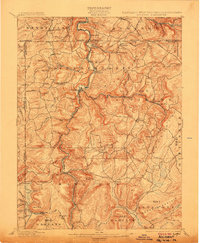
The Youghiogheny River carves a deep valley through this corner of Garrett County, dictating the early industrial and settlement patterns at the turn of the century. The Baltimore and Ohio RR follows the river's winding course, serving crucial transport nodes like Friendsville and Krug. High above the river valley, the terrain is dotted with early mountain communities and family-run operations, including the Blooming Rose Settlement and several hydraulic landmarks such as Speelman Mills and Kaese Mill.
Find a feature on this map
88 named features on this map. Tap any name to fly to it.
Don’t see what you’re looking for? This feature index may not catch every label — zoom into the map to look around manually.
Map Details
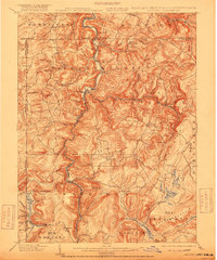
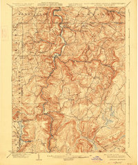
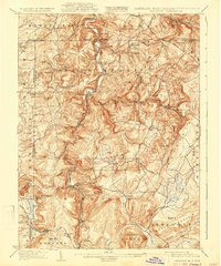
Editions of this 1900 Accident Map
6 editions found
Other maps of this area

1886 · St. George
USGS Topo · 1:125,000

1891 · St. George
USGS Topo · 1:125,000

1895 · Piedmont
USGS Topo · 1:125,000

1899 · Grantsville
USGS Topo · 1:62,500

1899 · Oakland
USGS Topo · 1:62,500

1900 · Oakland
USGS Topo · 1:62,500

1900 · Uniontown
USGS Topo · 1:62,500

1904 · Bruceton
USGS Topo · 1:62,500

1904 · Grantsville
USGS Topo · 1:62,500

1907 · Kingwood
USGS Topo · 1:62,500