
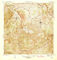
1942 Map of Aguadilla
USGS Topo · Published 1942About this map
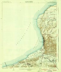
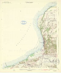
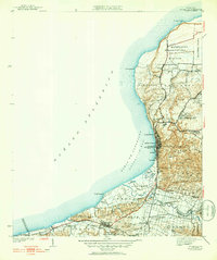
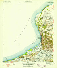
Aguadilla, Puerto Rico, sits at the intersection of a complex coastal landscape and early twentieth-century infrastructure during this 1942 edition. The American Railroad snakes along the coastline, connecting numerous railroad stops like Desvío Jiménez and Desvío Victoria, which served the local economy and agricultural transport. The town core is dense with historic landmarks, including the Iglesia Aguadilla and the coastal Parque de Colón.
Find a feature on this map
67 named features on this map. Tap any name to fly to it.
Don’t see what you’re looking for? This feature index may not catch every label — zoom into the map to look around manually.
Map Details
Editions of this 1942 Aguadilla Map
5 editions found
Other maps of this area

1937 · Aguadilla
USGS Topo · 1:20,000

1937 · Moca
USGS Topo · 1:20,000

1938 · Alto Sano
USGS Topo · 1:20,000

1941 · Moca
USGS Topo · 1:30,000

1941 · Rincon
USGS Topo · 1:30,000

1941 · Rincon
USGS Topo · 1:30,000

1941 · Isabela
USGS Topo · 1:30,000

1942 · Moca
USGS Topo · 1:30,000

1942 · Central La Plata
USGS Topo · 1:30,000
1946 · Ciales
USGS Topo · 1:30,000