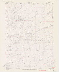
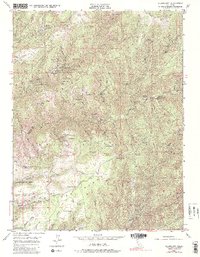
1949 Map of Alleghany
USGS Topo · Published 1965About this map
The gold-bearing quartz veins and gravel deposits of Sierra CO and Nevada Co are the central focus of this 1949 survey. Settlement is concentrated around Alleghany, while several historical mining centers have shifted to archaeology, including Moores Flat, Minnesota Flat, and Orleans Flat. The landscape is a complex network of deep ravines and high ridges, notably Pliocene Ridge and San Juan Ridge, which are honeycombed with workings like the Gold Crown Mine, Oriental Mine, and Kenton Mine.
Find a feature on this map
104 named features on this map. Tap any name to fly to it.
Don’t see what you’re looking for? This feature index may not catch every label — zoom into the map to look around manually.
Map Details
Editions of this 1949 Alleghany Map
5 editions found
Other maps of this area

1891 · Downieville
USGS Topo · 1:125,000

1891 · Colfax
USGS Topo · 1:125,000

1892 · Colfax
USGS Topo · 1:125,000

1893 · Downieville
USGS Topo · 1:125,000

1894 · Colfax
USGS Topo · 1:125,000

1895 · Downieville
USGS Topo · 1:125,000

1896 · Downieville
USGS Topo · 1:125,000

1897 · Downieville
USGS Topo · 1:125,000

1898 · Colfax
USGS Topo · 1:125,000

1900 · Colfax
USGS Topo · 1:125,000