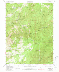
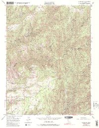
1949 Map of Alleghany
USGS Topo · Published 1981About this map
Gold mining operations define this section of the Sierra Nevada mountains, where the town of Alleghany serves as the hub for a landscape heavily scarred by extraction. The map reveals a high density of quartz and placer claims, most notably the Sixteen To One Mine, alongside dozens of inactive sites such as the Plumbago Mine and Tightner Mine. These mines are concentrated along the steep ravines of Kanaka Creek and the Middle Yuba River, following the gold-bearing gravels of ancient riverbeds.
Find a feature on this map
120 named features on this map. Tap any name to fly to it.
Don’t see what you’re looking for? This feature index may not catch every label — zoom into the map to look around manually.
Map Details
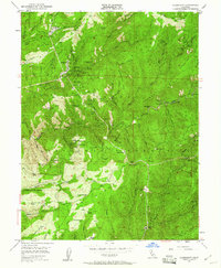
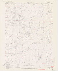
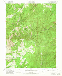
Editions of this 1949 Alleghany Map
5 editions found
Other maps of this area

1891 · Downieville
USGS Topo · 1:125,000

1891 · Colfax
USGS Topo · 1:125,000

1892 · Colfax
USGS Topo · 1:125,000

1893 · Downieville
USGS Topo · 1:125,000

1894 · Colfax
USGS Topo · 1:125,000

1895 · Downieville
USGS Topo · 1:125,000

1896 · Downieville
USGS Topo · 1:125,000

1897 · Downieville
USGS Topo · 1:125,000

1898 · Colfax
USGS Topo · 1:125,000

1900 · Colfax
USGS Topo · 1:125,000