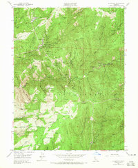
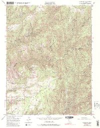
1949 Map of Alleghany
USGS Topo · Published 1965About this map
Gold mining operations and remote Sierran settlements dominate this mid-century survey of the Tahoe National Forest region. The community of Alleghany serves as the focal point, surrounded by a high density of quartz and drift mines that reveal the area's industrial legacy. Notable active and inactive workings include the Sixteen To One Mine, Tightner Mine, and Yellow Jacket Mine, which trace the mineral-rich veins of Pliocene Ridge and Lafayette Ridge.
Find a feature on this map
69 named features on this map. Tap any name to fly to it.
Don’t see what you’re looking for? This feature index may not catch every label — zoom into the map to look around manually.
Map Details
Editions of this 1949 Alleghany Map
5 editions found
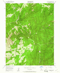
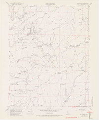
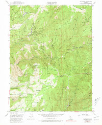
Other maps of this area

1891 · Downieville
USGS Topo · 1:125,000

1891 · Colfax
USGS Topo · 1:125,000

1892 · Colfax
USGS Topo · 1:125,000

1893 · Downieville
USGS Topo · 1:125,000

1894 · Colfax
USGS Topo · 1:125,000

1895 · Downieville
USGS Topo · 1:125,000

1896 · Downieville
USGS Topo · 1:125,000

1897 · Downieville
USGS Topo · 1:125,000

1898 · Colfax
USGS Topo · 1:125,000

1900 · Colfax
USGS Topo · 1:125,000