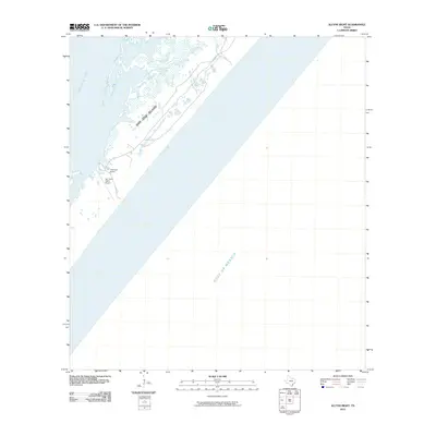
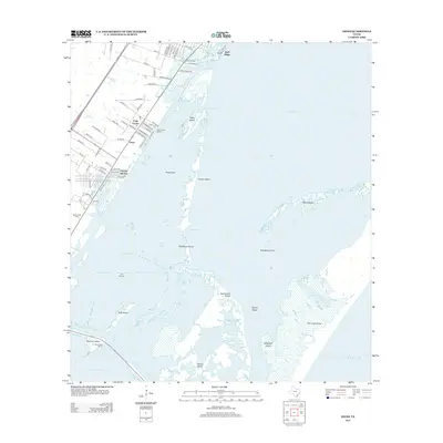
2025 Map of Allyns Bight
USGS Topo · Published 2025About this map
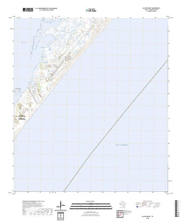
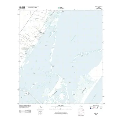
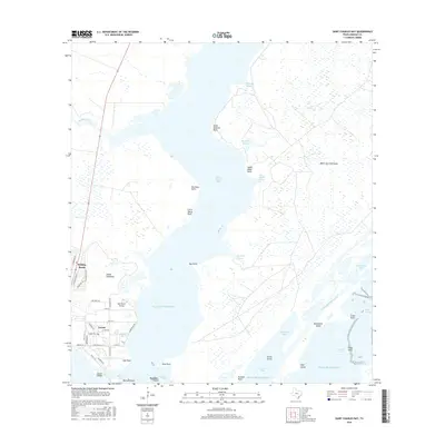
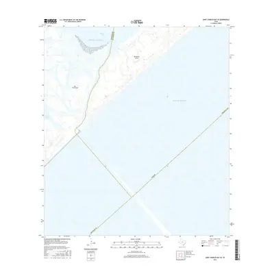
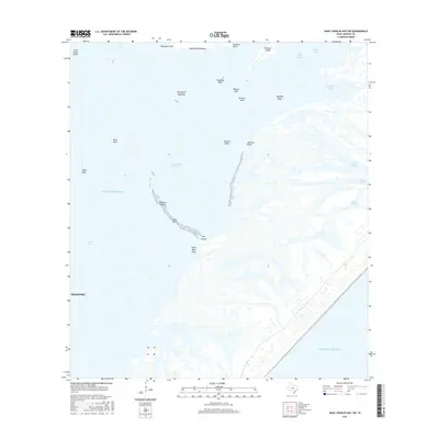
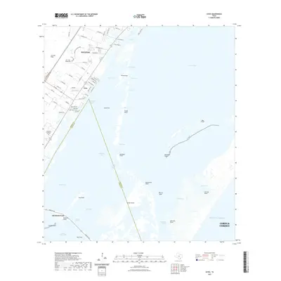
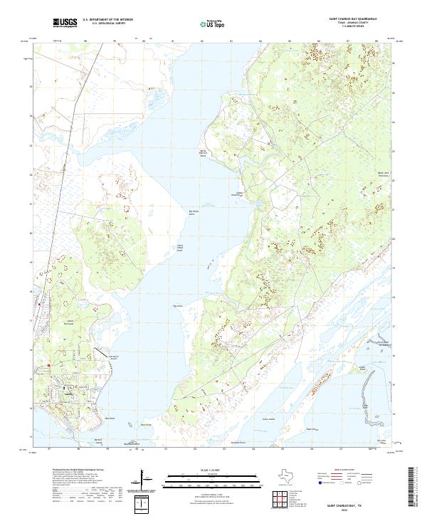
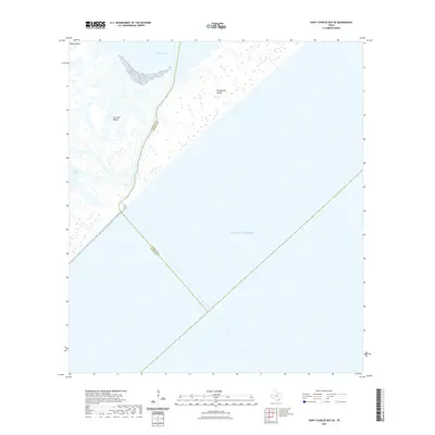
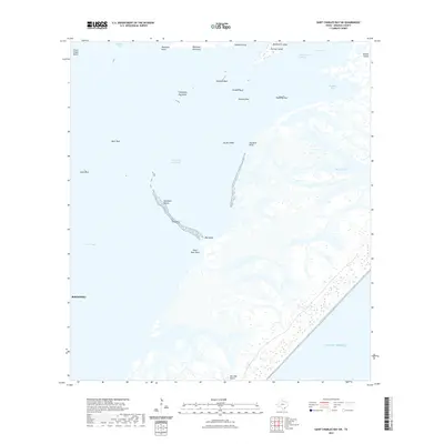
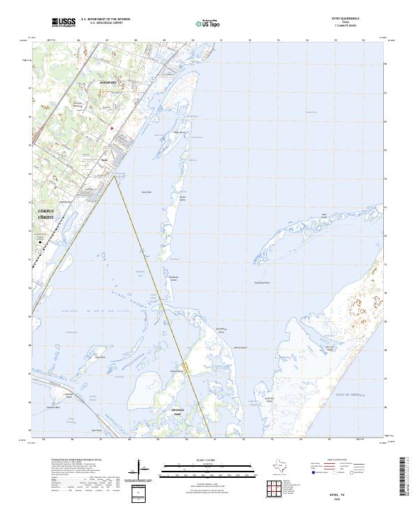
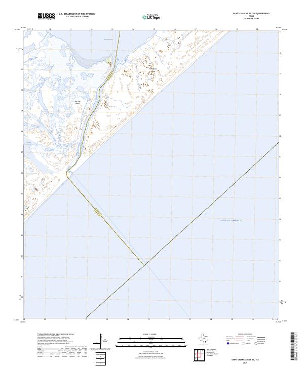
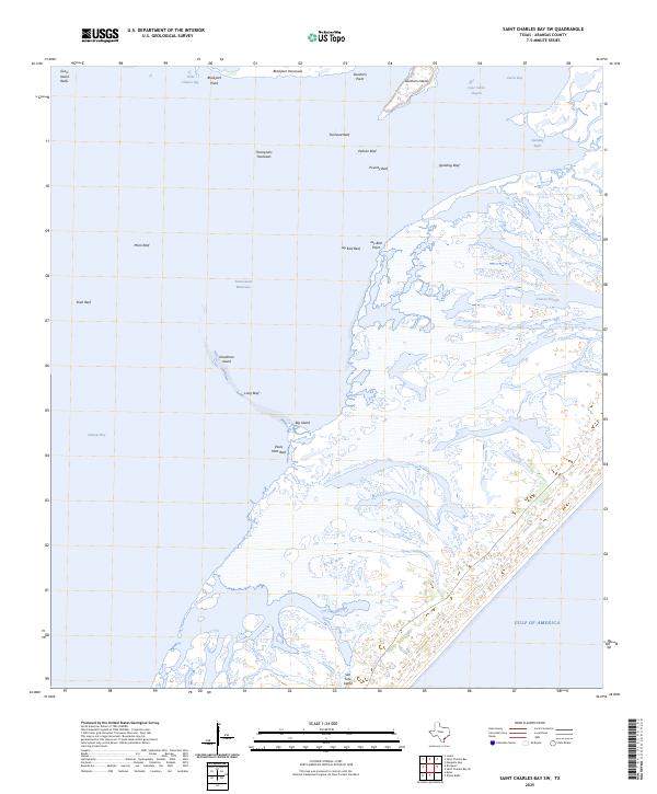
San Jose Island dominates this coastal landscape, stretching between the open waters of the Gulf of America and the protected reaches of Aransas Bay. This barrier island environment is defined by its complex hydrology, featuring internal water bodies like Long Lake and the eponymous Allyns Bight. The presence of the San Jose Island Airport suggests a level of private or specialized access to this otherwise isolated terrain, while the northern extent of the Corpus Christi boundary reaches into these waters.
Find a feature on this map
10 named features on this map. Tap any name to fly to it.
Don’t see what you’re looking for? This feature index may not catch every label — zoom into the map to look around manually.
Map Details
Editions of this 2025 Allyns Bight Map
This is the sole edition of this map. No revisions or reprints were ever made.
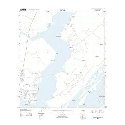
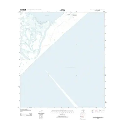
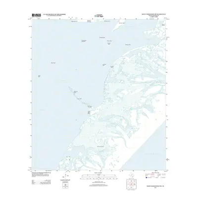
Historical Maps of Corpus Christi Through Time
36 maps found
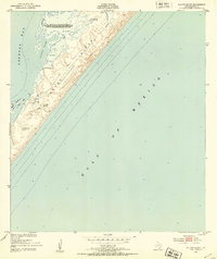
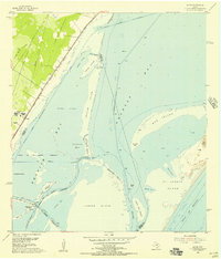
1951 Allyns Bight
Aransas County, TX
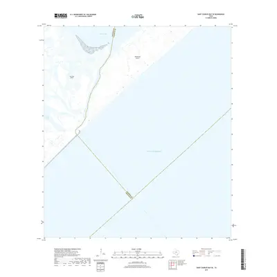
1952 St. Charles Bay
Aransas County, TX

1952 St. Charles Bay SE
Aransas County, TX
1952 St. Charles Bay SW
Aransas County, TX
1954 Estes
Aransas County, TX
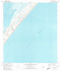
1970 Allyns Bight
Aransas County, TX
1971 Estes
Aransas County, TX
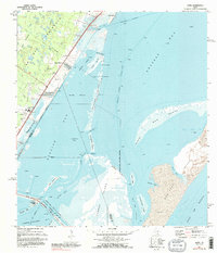
2010 Allyns Bight
Aransas County, TX
2010 Estes
Aransas County, TX
2010 Saint Charles Bay
Aransas County, TX
2010 Saint Charles Bay SE
Aransas County, TX

2010 Saint Charles Bay SW
Aransas County, TX
2012 Allyns Bight
Aransas County, TX
2013 Estes
Aransas County, TX
2013 Saint Charles Bay
Aransas County, TX
2013 Saint Charles Bay SE
Aransas County, TX
2013 Saint Charles Bay SW
Aransas County, TX
2016 Allyns Bight
Aransas County, TX
2016 Estes
Aransas County, TX
2016 Saint Charles Bay
Aransas County, TX
2016 Saint Charles Bay SE
Aransas County, TX
2016 Saint Charles Bay SW
Aransas County, TX
2019 Allyns Bight
Aransas County, TX
2019 Estes
Aransas County, TX
2019 Saint Charles Bay
Aransas County, TX
2019 Saint Charles Bay SE
Aransas County, TX
2019 Saint Charles Bay SW
Aransas County, TX
2022 Allyns Bight
Aransas County, TX
2022 Estes
Aransas County, TX
2022 Saint Charles Bay
Aransas County, TX
2022 Saint Charles Bay SE
Aransas County, TX
2022 Saint Charles Bay SW
Aransas County, TX
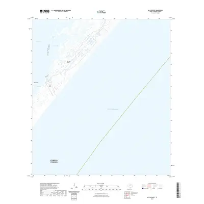
2025 Allyns Bight
Aransas County, TX
2025 Estes
Aransas County, TX
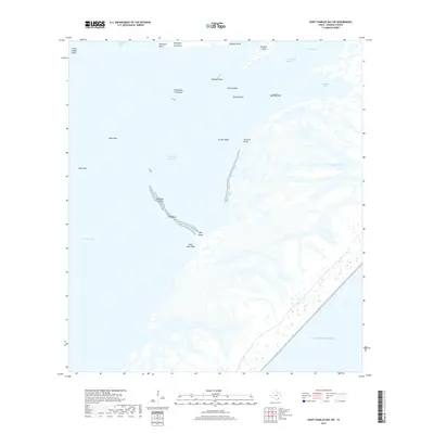
2025 Saint Charles Bay SE
Aransas County, TX
2025 Saint Charles Bay SW
Aransas County, TX