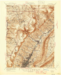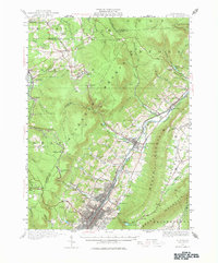
1920 Map of Altoona
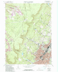
USGS Topo · Published 1976About this map
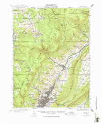
Altoona & Logan Valley Electric Ry tracks and the main line of the Pennsylvania railroad dominate the central corridor of this region, following the natural valley floor created by the Juniata River. The 1920 survey reveals a landscape organized around industrial transport and rural education, with numerous local institutions such as Wolfgang School, Mulholland School, and Beech Grove School serving scattered communities like Bellwood and Tipton. The topography is defined by the massive rise of Allegheny Mountain and Brush Mountain, which create a natural barrier between the industrial valley and the high-elevation settlements of Blandburg and Figart. Evidence of municipal infrastructure is clear in the Tyrone Reservoirs and Kettle Reservoir, while local genealogy is grounded in features like Rose Hill Cemetery and family-named schools including Williams School and Cambria Mills School.
Find a feature on this map
105 named features on this map. Tap any name to fly to it.
Don’t see what you’re looking for? This feature index may not catch every label — zoom into the map to look around manually.
Map Details
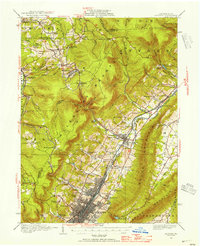
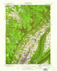
Editions of this 1920 Altoona Map
6 editions found

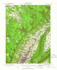
Historical Maps of Altoona Through Time
5 maps found