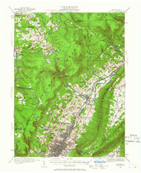
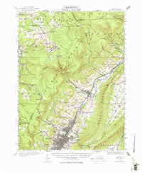
1920 Map of Altoona
USGS Topo · Published 1966About this map
The industrial and transportation hub of Altoona dominates the southern portion of this landscape, where the Pennsylvania Railroad tracks slice through the valley. This era reveals a densely developed network of neighborhoods and adjacent settlements like Juniata and East Altoona, serviced by numerous local institutions such as the Logan School and Grandview Cemetery. The topographical contrast is sharp as the terrain rises into the Allegheny Mountain and Brush Mountain, defining the natural corridors that railroads and roads must follow.
Find a feature on this map
104 named features on this map. Tap any name to fly to it.
Don’t see what you’re looking for? This feature index may not catch every label — zoom into the map to look around manually.
Map Details
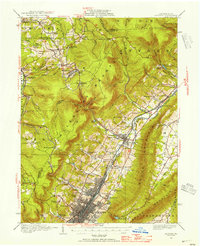
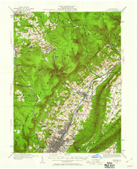
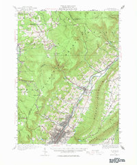
Editions of this 1920 Altoona Map
6 editions found

Other maps of this area

1901 · Huntingdon
USGS Topo · 1:62,500

1902 · Ebensburg
USGS Topo · 1:62,500

1902 · Patton
USGS Topo · 1:62,500

1902 · Hollidaysburg
USGS Topo · 1:62,500

1903 · Curwensville
USGS Topo · 1:62,500

1903 · Hollidaysburg
USGS Topo · 1:62,500

1903 · Houtzdale
USGS Topo · 1:62,500

1904 · Huntingdon
USGS Topo · 1:62,500

1904 · Patton
USGS Topo · 1:62,500

1904 · Ebensburg
USGS Topo · 1:62,500