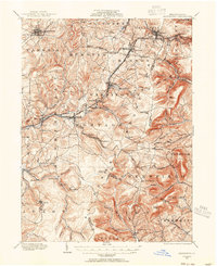
1920 Map of Altoona
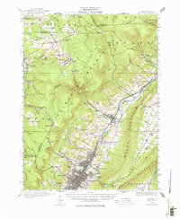
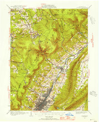
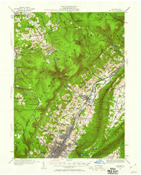
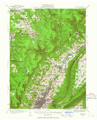
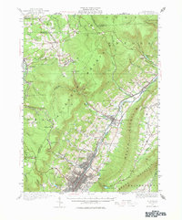
USGS Topo · Published 1976About this map
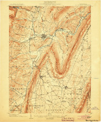
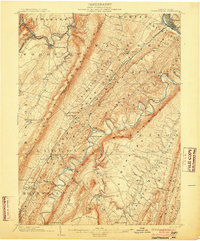
Altoona stands as a massive rail-and-industry hub in the shadow of the Allegheny Mountain, dominated by the extensive yards and facilities of the Pennsylvania Railroad. During this era of peak industrial output, the city is a dense grid of settlement spreading from East End to Juniata, while the surrounding Logan Valley is dotted with small company towns and agricultural outposts like Bellwood and Fostoria. The map reveals the intricate infrastructure required to support this population, including the Kettle Reservoir and Allegheny Reservoir, as well as numerous rural institutions like the McKnight School and Sabbath Rest School. North of the city, the winding Altoona Northern Railroad climbs toward the high plateau settlements of Wopsononock and Blandburg, tracing the steep transition from the valley floor to the timber and coal lands of the Allegheny Front.
Find a feature on this map
109 named features on this map. Tap any name to fly to it.
Don’t see what you’re looking for? This feature index may not catch every label — zoom into the map to look around manually.
Map Details
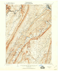
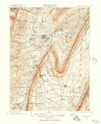
Editions of this 1920 Altoona Map
6 editions found

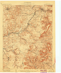
Other maps of this area
1901 · Huntingdon
USGS Topo · 1:62,500
1902 · Ebensburg
USGS Topo · 1:62,500

1902 · Patton
USGS Topo · 1:62,500
1902 · Hollidaysburg
USGS Topo · 1:62,500

1903 · Curwensville
USGS Topo · 1:62,500
1903 · Hollidaysburg
USGS Topo · 1:62,500

1903 · Houtzdale
USGS Topo · 1:62,500
1904 · Huntingdon
USGS Topo · 1:62,500

1904 · Patton
USGS Topo · 1:62,500
1904 · Ebensburg
USGS Topo · 1:62,500