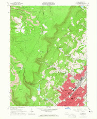
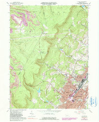
1963 Map of Altoona
USGS Topo · Published 1965About this map
The eastern front of the Allegheny Mountains dominates this landscape, where the dense urban grid of Altoona meets the steep, mine-scarred ridges of the Allegheny Plateau. By the early 1960s, the city’s industrial and civic infrastructure is firmly established, evidenced by a concentration of schools like Keith Jr High Sch and landmarks such as the Jaffa Mosque. To the west, the terrain rises sharply toward the Cambria Co Blair Co line, where the landscape transitions from residential neighborhoods like Beverly Hills and Wehnwood to the resource-rich highlands.
Find a feature on this map
99 named features on this map. Tap any name to fly to it.
Don’t see what you’re looking for? This feature index may not catch every label — zoom into the map to look around manually.
Map Details
Editions of this 1963 Altoona Map
6 editions found
Other maps of this area

1902 · Ebensburg
USGS Topo · 1:62,500

1902 · Patton
USGS Topo · 1:62,500

1902 · Hollidaysburg
USGS Topo · 1:62,500

1903 · Hollidaysburg
USGS Topo · 1:62,500

1904 · Patton
USGS Topo · 1:62,500

1904 · Ebensburg
USGS Topo · 1:62,500

1920 · Altoona
USGS Topo · 1:62,500

1922 · Altoona
USGS Topo · 1:62,500

1943 · Punxsutawney
USGS Topo · 1:125,000

1953 · Pittsburgh
USGS Topo · 1:250,000