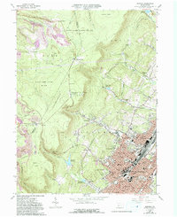
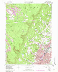
1963 Map of Altoona
USGS Topo · Published 1993About this map
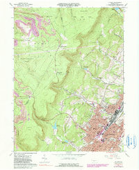
The rugged Allegheny Front terrain dominates this 1963 survey, revealing the complex industrial and residential landscape of Altoona and its surrounding mountain gaps. The city’s expansion is visible in neighborhoods like Alta Manor, Calvert Hills, and Wehnwood, while the western ridge lines show the extensive footprint of natural resource extraction through numerous Strip Mines and several areas designated as Reclaimed Strip Mine. These industrial zones sit in close proximity to massive conservation areas, including State Game Lands No 108 and State Game Lands No 184.
Find a feature on this map
100 named features on this map. Tap any name to fly to it.
Don’t see what you’re looking for? This feature index may not catch every label — zoom into the map to look around manually.
Map Details
Editions of this 1963 Altoona Map
6 editions found
Other maps of this area

1902 · Ebensburg
USGS Topo · 1:62,500

1902 · Patton
USGS Topo · 1:62,500

1902 · Hollidaysburg
USGS Topo · 1:62,500

1903 · Hollidaysburg
USGS Topo · 1:62,500

1904 · Patton
USGS Topo · 1:62,500

1904 · Ebensburg
USGS Topo · 1:62,500

1920 · Altoona
USGS Topo · 1:62,500

1922 · Altoona
USGS Topo · 1:62,500

1943 · Punxsutawney
USGS Topo · 1:125,000

1953 · Pittsburgh
USGS Topo · 1:250,000