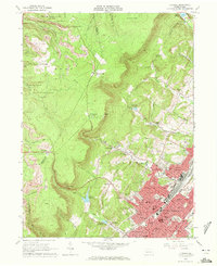
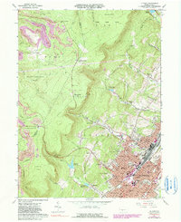
1963 Map of Altoona
USGS Topo · Published 1972About this map
The city of Altoona and its surrounding mountain gaps are captured here during a period of mid-century industrial transition. While the Pennsylvania railroad lines anchor the urban core, the landscape to the west is dominated by the steep ridges of State Game Lands No 108 and State Game Lands No 184. This area reveals the heavy footprint of the coal industry, with numerous Strip Mines and a Gravel Pit cutting into the terrain near Richland and Buckhorn.
Find a feature on this map
92 named features on this map. Tap any name to fly to it.
Don’t see what you’re looking for? This feature index may not catch every label — zoom into the map to look around manually.
Map Details
Editions of this 1963 Altoona Map
6 editions found
Other maps of this area

1902 · Ebensburg
USGS Topo · 1:62,500

1902 · Patton
USGS Topo · 1:62,500

1902 · Hollidaysburg
USGS Topo · 1:62,500

1903 · Hollidaysburg
USGS Topo · 1:62,500

1904 · Patton
USGS Topo · 1:62,500

1904 · Ebensburg
USGS Topo · 1:62,500

1920 · Altoona
USGS Topo · 1:62,500

1922 · Altoona
USGS Topo · 1:62,500

1943 · Punxsutawney
USGS Topo · 1:125,000

1953 · Pittsburgh
USGS Topo · 1:250,000