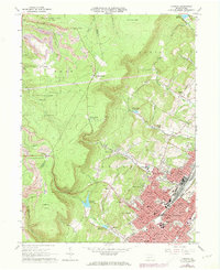
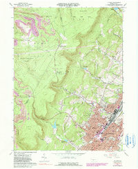
1963 Map of Altoona
USGS Topo · Published 1973About this map
The city of Altoona and its surrounding mountain gaps are captured in this 1963 survey, reflecting a period when the rail industry and institutional growth defined the local geography. The Penn Central tracks dominate the valley floor, passing through neighborhoods like Juniata and Pleasant Valley. Education and civic life are prominent, marked by the presence of the Penn State University (Altoona Campus) and numerous parish schools such as St Marks Sch and SS Peter & Paul Sch.
Find a feature on this map
85 named features on this map. Tap any name to fly to it.
Don’t see what you’re looking for? This feature index may not catch every label — zoom into the map to look around manually.
Map Details
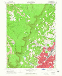
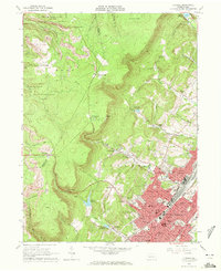
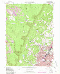
Editions of this 1963 Altoona Map
6 editions found
Other maps of this area

1902 · Ebensburg
USGS Topo · 1:62,500

1902 · Patton
USGS Topo · 1:62,500

1902 · Hollidaysburg
USGS Topo · 1:62,500

1903 · Hollidaysburg
USGS Topo · 1:62,500

1904 · Patton
USGS Topo · 1:62,500

1904 · Ebensburg
USGS Topo · 1:62,500

1920 · Altoona
USGS Topo · 1:62,500

1922 · Altoona
USGS Topo · 1:62,500

1943 · Punxsutawney
USGS Topo · 1:125,000

1953 · Pittsburgh
USGS Topo · 1:250,000