
1958 Map of Alva SW
USGS Topo · Published 1959About this map
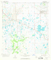
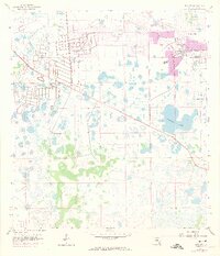
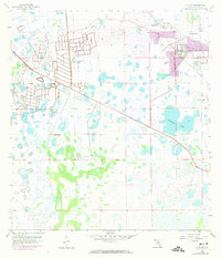
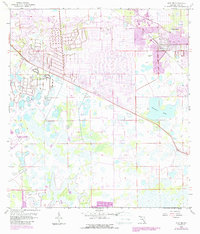
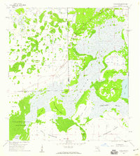
Lehigh Acres appears at a transformative moment in the late 1950s, with a substantial portion of the northern landscape marked by a grid of streets and tracts under construction. This burgeoning residential development contrasts sharply with the southern two-thirds of the sheet, which remain dominated by subtropical wetlands and scattered water bodies. The presence of the Able Canal and numerous Flowing Wells highlights the critical role of water management in readying this portion of Lee County for settlement. Further inland, the landscape is punctuated by Halfway Pond and industrial activity at several Quarries and a Gravel Pit. The map captures the exact era when traditional Florida wetlands were first being methodically restructured into one of the state's largest planned communities.
Find a feature on this map
10 named features on this map. Tap any name to fly to it.
Don’t see what you’re looking for? This feature index may not catch every label — zoom into the map to look around manually.
Map Details
Editions of this 1958 Alva SW Map
5 editions found
Other maps of this area

1956 · West Palm Beach
USGS Topo · 1:250,000

1957 · West Palm Beach
USGS Topo · 1:250,000

1958 · West Palm Beach
USGS Topo · 1:250,000

1958 · Corkscrew NW
USGS Topo · 1:24,000

1958 · Estero
USGS Topo · 1:24,000

1958 · Olga
USGS Topo · 1:24,000

1958 · Fort Myers
USGS Topo · 1:24,000

1958 · Alva
USGS Topo · 1:24,000

1958 · Alva SE
USGS Topo · 1:24,000
1958 · Corkscrew
USGS Topo · 1:24,000