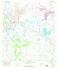
1958 Map of Alva SW
USGS Topo · Published 1984About this map
Lehigh Acres appears at the center of rapid expansion in this document, which uses purple revisions to show the sprawling urban footprint emerging from the Florida interior by the early 1970s. The landscape is a complex network of wetlands and artificial drainage, anchored by the prominent Halfway Pond and the engineered Able Canal. Industry is deeply integrated into the suburban fringe, with multiple Quarries and a Gravel Pit located just north of the residential developments. A notable hydrological feature is the recurring Flowing Well label, marking points where groundwater reached the surface naturally. This sheet illustrates the mid-century transformation of Lee County, where massive land-clearing projects and water-management systems converted palmetto and pine flatwoods into the grid-patterned neighborhoods of a new inland city.
Find a feature on this map
10 named features on this map. Tap any name to fly to it.
Don’t see what you’re looking for? This feature index may not catch every label — zoom into the map to look around manually.
Map Details
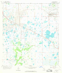
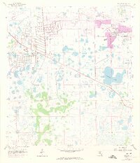
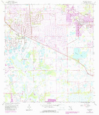
Editions of this 1958 Alva SW Map
5 editions found
Other maps of this area

1956 · West Palm Beach
USGS Topo · 1:250,000

1957 · West Palm Beach
USGS Topo · 1:250,000

1958 · West Palm Beach
USGS Topo · 1:250,000

1958 · Corkscrew NW
USGS Topo · 1:24,000

1958 · Estero
USGS Topo · 1:24,000

1958 · Olga
USGS Topo · 1:24,000

1958 · Alva SW
USGS Topo · 1:24,000

1958 · Fort Myers
USGS Topo · 1:24,000

1958 · Alva
USGS Topo · 1:24,000

1958 · Alva SE
USGS Topo · 1:24,000