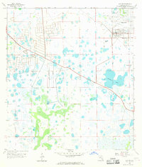
1958 Map of Alva SW
USGS Topo · Published 1969About this map
Lehigh Acres is shown in its early development stages on this 1950s era survey of inland Lee County. The map documents the rapid transformation of the Florida landscape, with several residential road networks marked as Under Construction as the community began to take shape. This nascent suburbia stands in stark contrast to the surrounding natural features, including the expanse of Halfway Pond and numerous smaller wetlands and marshes that dominate the central and southern portions of the sheet.
Find a feature on this map
11 named features on this map. Tap any name to fly to it.
Don’t see what you’re looking for? This feature index may not catch every label — zoom into the map to look around manually.
Map Details
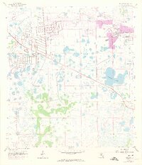
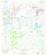
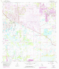
Editions of this 1958 Alva SW Map
5 editions found
Other maps of this area

1956 · West Palm Beach
USGS Topo · 1:250,000

1957 · West Palm Beach
USGS Topo · 1:250,000

1958 · West Palm Beach
USGS Topo · 1:250,000

1958 · Corkscrew NW
USGS Topo · 1:24,000

1958 · Estero
USGS Topo · 1:24,000

1958 · Olga
USGS Topo · 1:24,000

1958 · Alva SW
USGS Topo · 1:24,000

1958 · Fort Myers
USGS Topo · 1:24,000

1958 · Alva
USGS Topo · 1:24,000

1958 · Alva SE
USGS Topo · 1:24,000