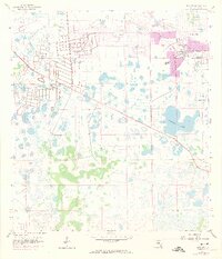
1958 Map of Alva SW
USGS Topo · Published 1974About this map
Lehigh Acres serves as the primary focal point of this coastal Florida interior, shown during a period of rapid mid-century expansion into the surrounding wetlands. The map illustrates the structured street grids emerging from the natural landscape, marked by a systematic network of drainage projects including a prominent Canal and several instances of a Flowing Well. While the northeastern corner is defined by residential plotting, much of the quadrangle remains dominated by the flat, marshy terrain characteristic of Lee County, punctuated by Halfway Pond and scattered Quarries. Industrial activity is evident near the growing settlement, with a Gravel Pit and extraction sites located along the northern boundaries, reflecting the material needs of the local development boom that transformed this region in the 1950s and 1970s.
Find a feature on this map
11 named features on this map. Tap any name to fly to it.
Don’t see what you’re looking for? This feature index may not catch every label — zoom into the map to look around manually.
Map Details
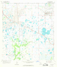
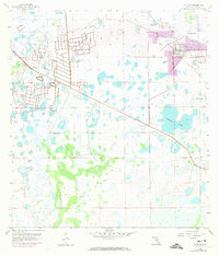
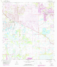
Editions of this 1958 Alva SW Map
5 editions found
Other maps of this area

1956 · West Palm Beach
USGS Topo · 1:250,000

1957 · West Palm Beach
USGS Topo · 1:250,000

1958 · West Palm Beach
USGS Topo · 1:250,000

1958 · Corkscrew NW
USGS Topo · 1:24,000

1958 · Estero
USGS Topo · 1:24,000

1958 · Olga
USGS Topo · 1:24,000

1958 · Alva SW
USGS Topo · 1:24,000

1958 · Fort Myers
USGS Topo · 1:24,000

1958 · Alva
USGS Topo · 1:24,000

1958 · Alva SE
USGS Topo · 1:24,000