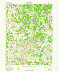
1960 Map of Amsterdam
USGS Topo · Published 1962About this map
Amsterdam serves as a primary hub within the hilly convergence of Carroll, Jefferson, and Harrison Counties during the early 1960s. The landscape is defined by the valley of Yellow Creek, where the New York Central railroad follows the water's path through a region heavily shaped by industrial activity. Extensive strip mines dominate the central and southern portions of the quadrangle, particularly around Germano and Swanson, illustrating the coal-driven economy of the era.
Find a feature on this map
45 named features on this map. Tap any name to fly to it.
Don’t see what you’re looking for? This feature index may not catch every label — zoom into the map to look around manually.
Map Details
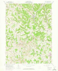
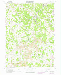
Editions of this 1960 Amsterdam Map
Other maps of this area

1901 · Cadiz
USGS Topo · 1:62,500

1902 · Scio
USGS Topo · 1:62,500

1903 · Cadiz
USGS Topo · 1:62,500

1904 · Scio
USGS Topo · 1:62,500

1905 · Salineville
USGS Topo · 1:62,500

1910 · Carrollton
USGS Topo · 1:62,500

1912 · Carrollton
USGS Topo · 1:62,500

1951 · Canton
USGS Topo · 1:250,000

1953 · Canton
USGS Topo · 1:250,000

1957 · Canton
USGS Topo · 1:250,000