
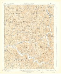
1911 Map of Antrim
USGS Topo · Published 1911About this map
Antrim and the surrounding townships in Guernsey and Harrison Counties are revealed here at the start of the 1910s, showing a landscape defined by an incredibly dense network of rural one-room schoolhouses and country churches. The southern portion of the map is anchored by the historic National Road, which passes through Elizabethtown and Middlebourne, while the Steubenville Road cuts through the center of Madison township. This era shows many dual-named settlements such as Winterset P.O. Winchester and Cadwallader P.O. Westchester, reflecting the evolution of local postal identities.
Find a feature on this map
86 named features on this map. Tap any name to fly to it.
Don’t see what you’re looking for? This feature index may not catch every label — zoom into the map to look around manually.
Map Details
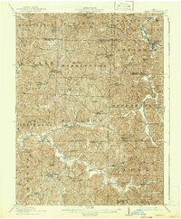
Editions of this 1911 Antrim Map
3 editions found
Other maps of this area

1902 · Scio
USGS Topo · 1:62,500

1903 · Flushing
USGS Topo · 1:62,500

1904 · Scio
USGS Topo · 1:62,500

1905 · Woodsfield
USGS Topo · 1:62,500

1905 · Flushing
USGS Topo · 1:62,500

1909 · Antrim
USGS Topo · 1:48,000

1909 · Uhrichsville
USGS Topo · 1:62,500

1909 · Summerfield
USGS Topo · 1:62,500

1909 · Cambridge
USGS Topo · 1:62,500

1911 · Uhrichsville
USGS Topo · 1:62,500