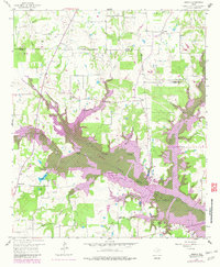
1958 Map of Arbala
USGS Topo · Published 1982About this map
Lake Fork Reservoir dominates the landscape of this 1958 survey, though purple revisions from the early 1980s highlight areas planned for submersion. The map captures a rural Texas interior where the border of Rains and Hopkins counties meets, defined by a network of creek branches like Garrett Creek and Johnson Camp Branch. Scattered settlements such as Arbala and Bonanza serve as anchor points for local life, while the high density of family cemeteries and rural congregations indicates a deeply rooted agricultural community. Genealogists will find significant value in the precise locations of the Burke-Yandell Cem, Henrys Chapel Cem, and Macedonia Ch. Along the water, landmarks like Shotgun Crossing and Flag Pond point to an older era of local navigation before the reservoir's full expansion altered the drainage patterns of the Fork and its tributaries.
Find a feature on this map
41 named features on this map. Tap any name to fly to it.
Don’t see what you’re looking for? This feature index may not catch every label — zoom into the map to look around manually.
Map Details
Editions of this 1958 Arbala Map
4 editions found
Other maps of this area

1953 · Texarkana
USGS Topo · 1:250,000

1956 · Texarkana
USGS Topo · 1:250,000

1956 · Tyler
USGS Topo · 1:250,000

1956 · Emory
USGS Topo · 1:62,500

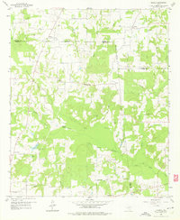
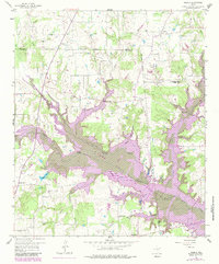
1958 · Arbala
USGS Topo · 1:24,000

1958 · Alba
USGS Topo · 1:24,000

1959 · Calvary
USGS Topo · 1:24,000

1959 · Yantis
USGS Topo · 1:24,000

1959 · Alba
USGS Topo · 1:62,500

1962 · Miller Grove
USGS Topo · 1:24,000